Gorse Covert
Wood, Forest in Derbyshire Derbyshire Dales
England
Gorse Covert

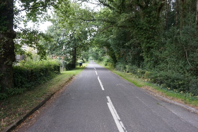
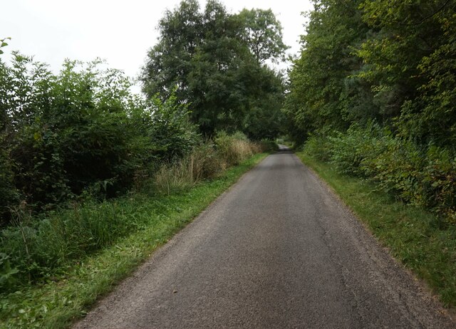
Gorse Covert is a small woodland area located in Derbyshire, England. It is situated near the town of Swadlincote and covers an approximate area of 10 hectares. The woodland is predominantly made up of gorse, a spiny evergreen shrub, which gives the area its name.
The landscape of Gorse Covert is characterized by rolling hills and dense vegetation. The woodland is a mix of both mature trees and younger saplings, providing a diverse habitat for various species of flora and fauna. The presence of gorse bushes creates a distinctive yellow hue throughout the woodland, especially during the spring and summer months when they are in full bloom.
The woodland is home to a range of wildlife, including birds such as woodpeckers, thrushes, and owls. Small mammals, such as rabbits and squirrels, can also be found in the area. The dense vegetation and leaf litter provide shelter and food sources for these animals.
Gorse Covert is a popular spot for nature enthusiasts and walkers, who can enjoy the peaceful surroundings and observe the local wildlife. There are well-maintained footpaths that wind through the woodland, allowing visitors to explore the area and take in the natural beauty.
Overall, Gorse Covert is a charming woodland area in Derbyshire, offering a tranquil escape from the hustle and bustle of everyday life. With its diverse range of plant and animal species, it is a haven for nature lovers and a valuable asset to the local ecosystem.
If you have any feedback on the listing, please let us know in the comments section below.
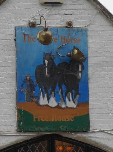
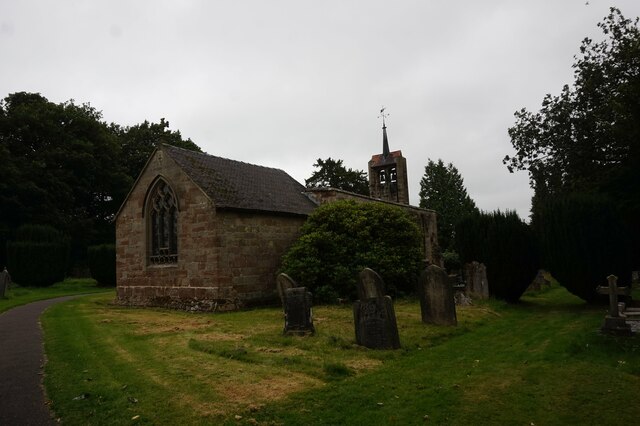
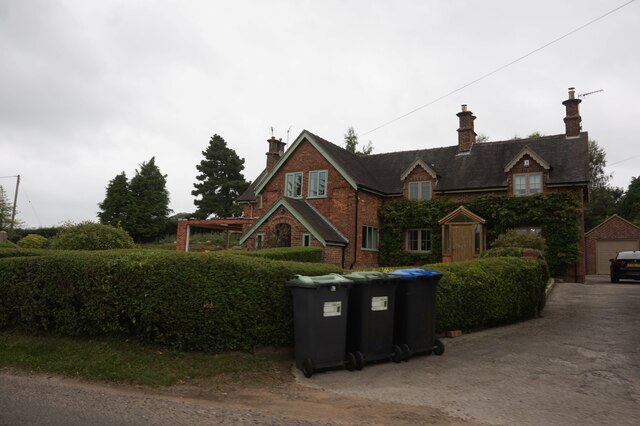
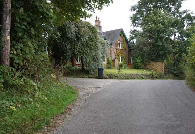
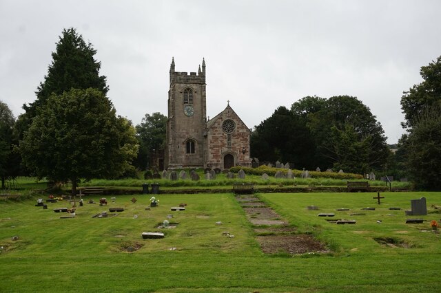
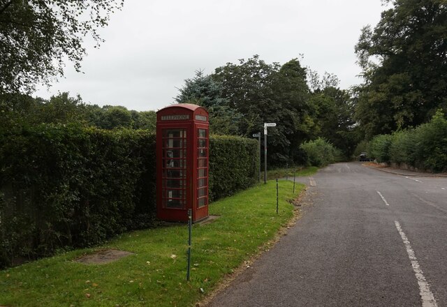
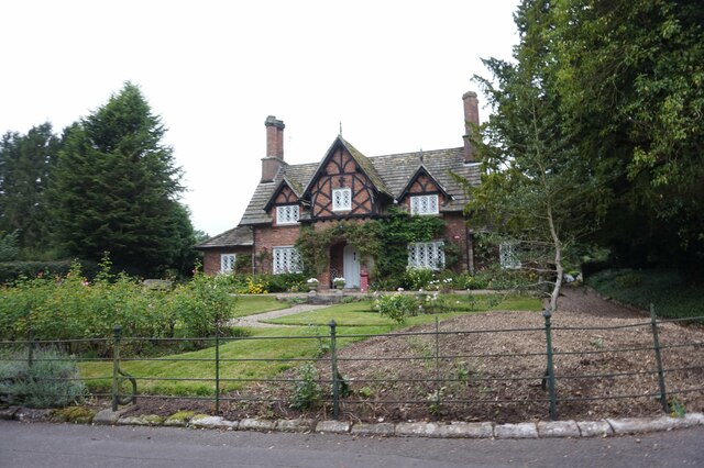
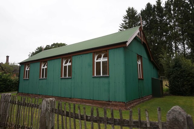
Gorse Covert Images
Images are sourced within 2km of 52.981828/-1.7528053 or Grid Reference SK1642. Thanks to Geograph Open Source API. All images are credited.


Gorse Covert is located at Grid Ref: SK1642 (Lat: 52.981828, Lng: -1.7528053)
Administrative County: Derbyshire
District: Derbyshire Dales
Police Authority: Derbyshire
What 3 Words
///entitle.info.rephrase. Near Mayfield, Staffordshire
Nearby Locations
Related Wikis

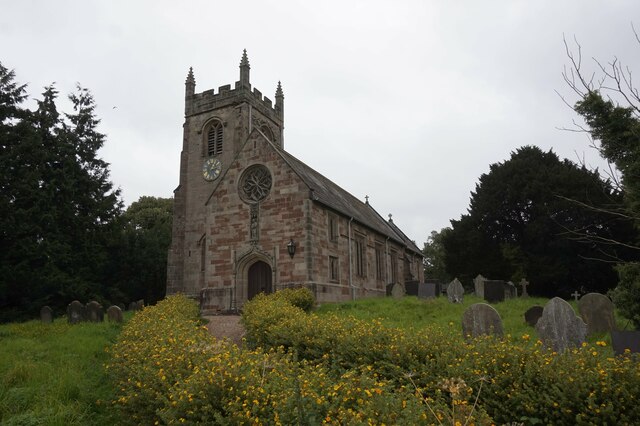
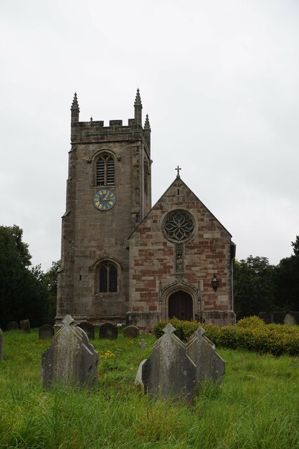
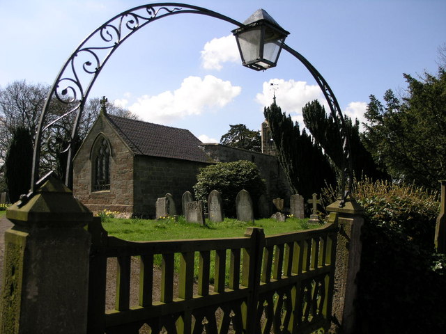
St Peter's Church, Snelston
St Peter's Church, Snelston is a Grade II* listed parish church in the Church of England: 319 in Snelston, Derbyshire. == History == The church dates...

Anacrehill
Anacrehill is an area of Snelston parish, to the south of the village. The area contains a small number of cottages and farmhouses located on Virginsalley...
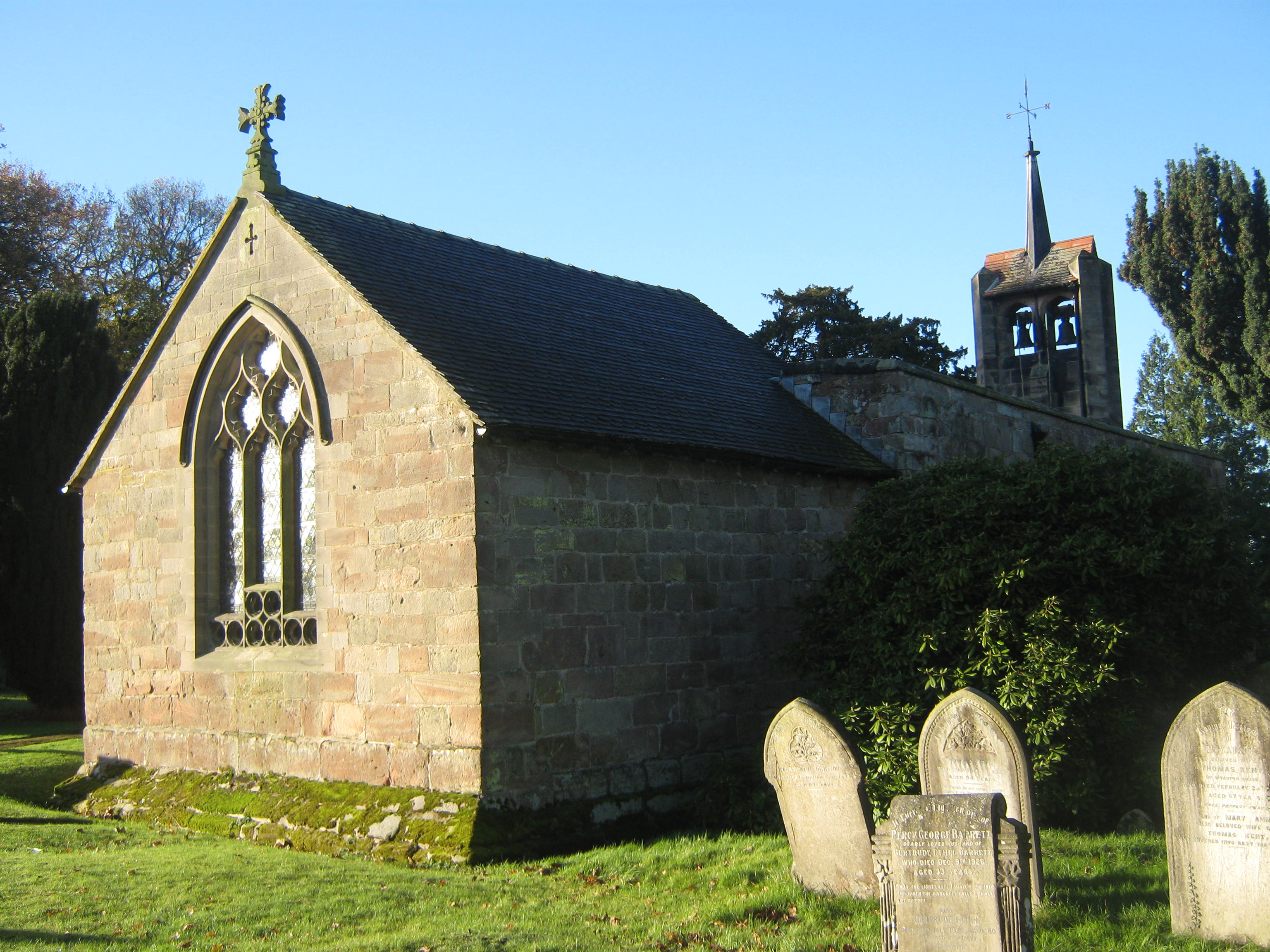
St James' Church, Edlaston
St James’ Church, Edlaston is a Grade II* listed parish church in the Church of England: 207 in Edlaston, Derbyshire. == History == The church dates from...
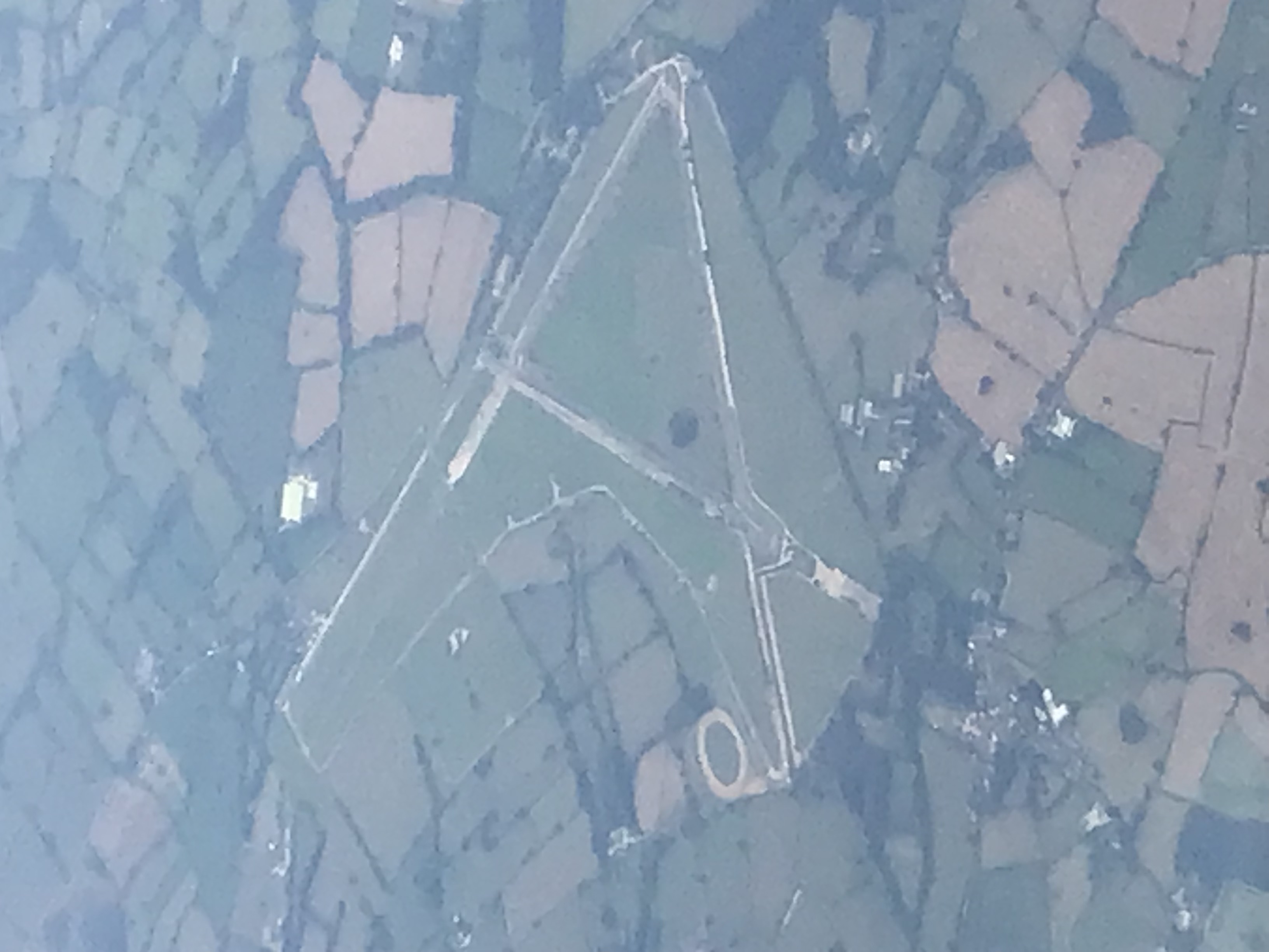
Darley Moor Airfield
Darley Moor Airfield and Road Race Circuit is situated on a high plateau adjacent to the A515, two miles south of Ashbourne, Derbyshire, England. The airfield...
Edlaston
Edlaston is a village three miles south of Ashbourne in Derbyshire, just off the A515 road. It is in close proximity to the hamlet of Wyaston, and the...

Roston
Roston is a hamlet in Derbyshire, England. It is located north of Rocester. The Roston Inn (known locally as 'The Shant') is at the junction of Mill Lane...
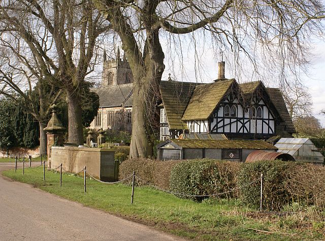
Snelston
Snelston is a village and civil parish three miles south-west of Ashbourne in Derbyshire, England. It includes Anacrehill. The population of the civil...
Edlaston and Wyaston
Edlaston and Wyaston is a civil parish within the Derbyshire Dales district, in the county of Derbyshire, England. The parish includes the villages of...
Nearby Amenities
Located within 500m of 52.981828,-1.7528053Have you been to Gorse Covert?
Leave your review of Gorse Covert below (or comments, questions and feedback).