Crookmoor Ash

Wood, Forest in Gloucestershire Cotswold

England

Crookmoor Ash

Sherborne Village Shop
Sherborne Village Shop Credit: Vieve Forward

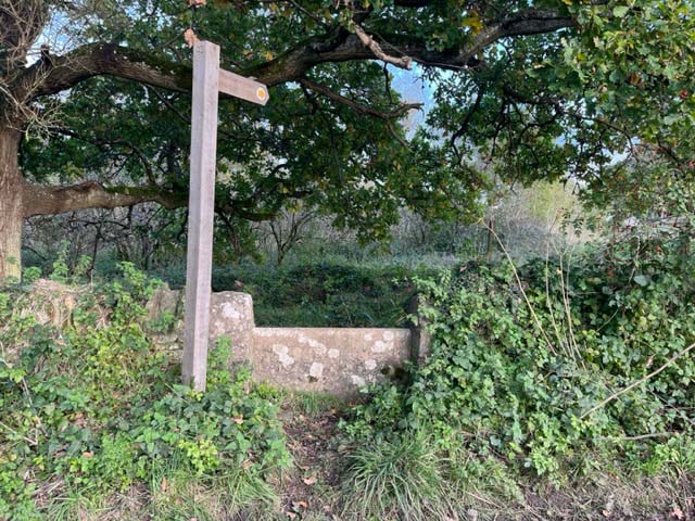
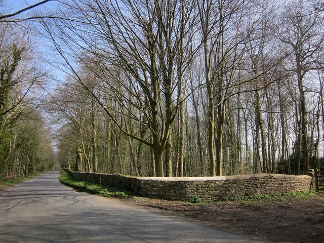
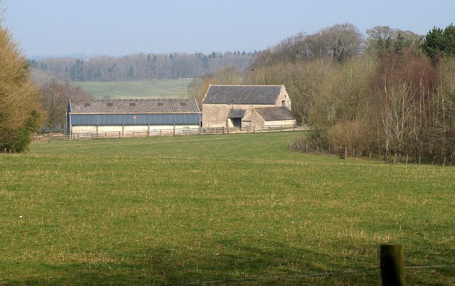
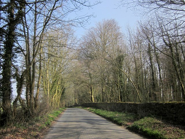
Crookmoor Ash is a small woodland located in Gloucestershire, England. Situated within the larger Forest of Dean, it covers an area of approximately 100 acres. The woodland is characterized by its mature oak and ash trees, which provide a dense canopy and create a tranquil and secluded atmosphere.

Crookmoor Ash is known for its rich biodiversity, with a variety of plant and animal species calling it home. The forest floor is covered in a thick layer of leaf litter, creating a habitat for numerous insects, fungi, and small mammals. Additionally, the woodland is home to a diverse range of bird species, including woodpeckers, owls, and warblers.

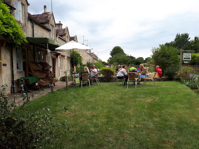
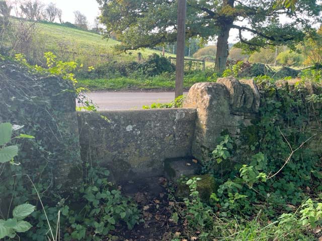
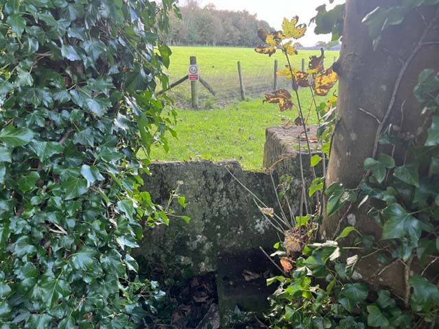
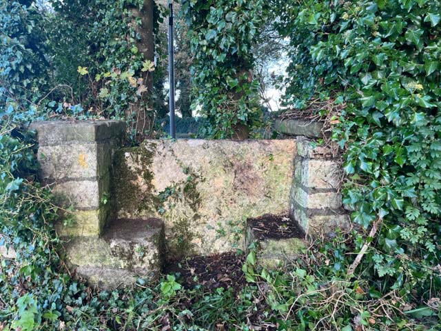
The woodland is crisscrossed by a network of footpaths and trails, allowing visitors to explore its natural beauty. These paths wind through the trees, providing glimpses of sunlight filtering through the foliage and creating a picturesque scene. The peaceful ambiance of the woodland makes it a popular spot for walkers, nature enthusiasts, and photographers.

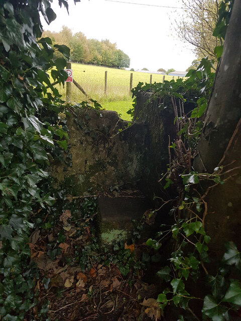
Crookmoor Ash also has historical significance, with evidence of human activity dating back centuries. It is believed that the woodland was once used for charcoal production and timber extraction. Today, the area is carefully managed to preserve its natural integrity and protect its ecological importance.

Overall, Crookmoor Ash is a charming woodland in Gloucestershire, offering a serene and enchanting experience for those seeking a connection with nature and a glimpse into the region's rich history.

If you have any feedback on the listing, please let us know in the comments section below.

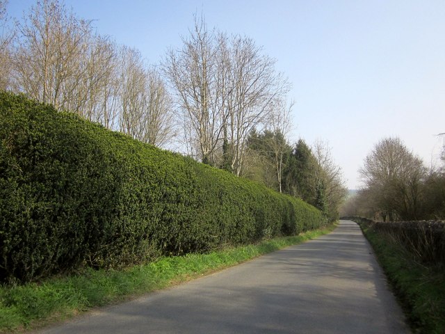
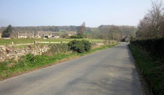
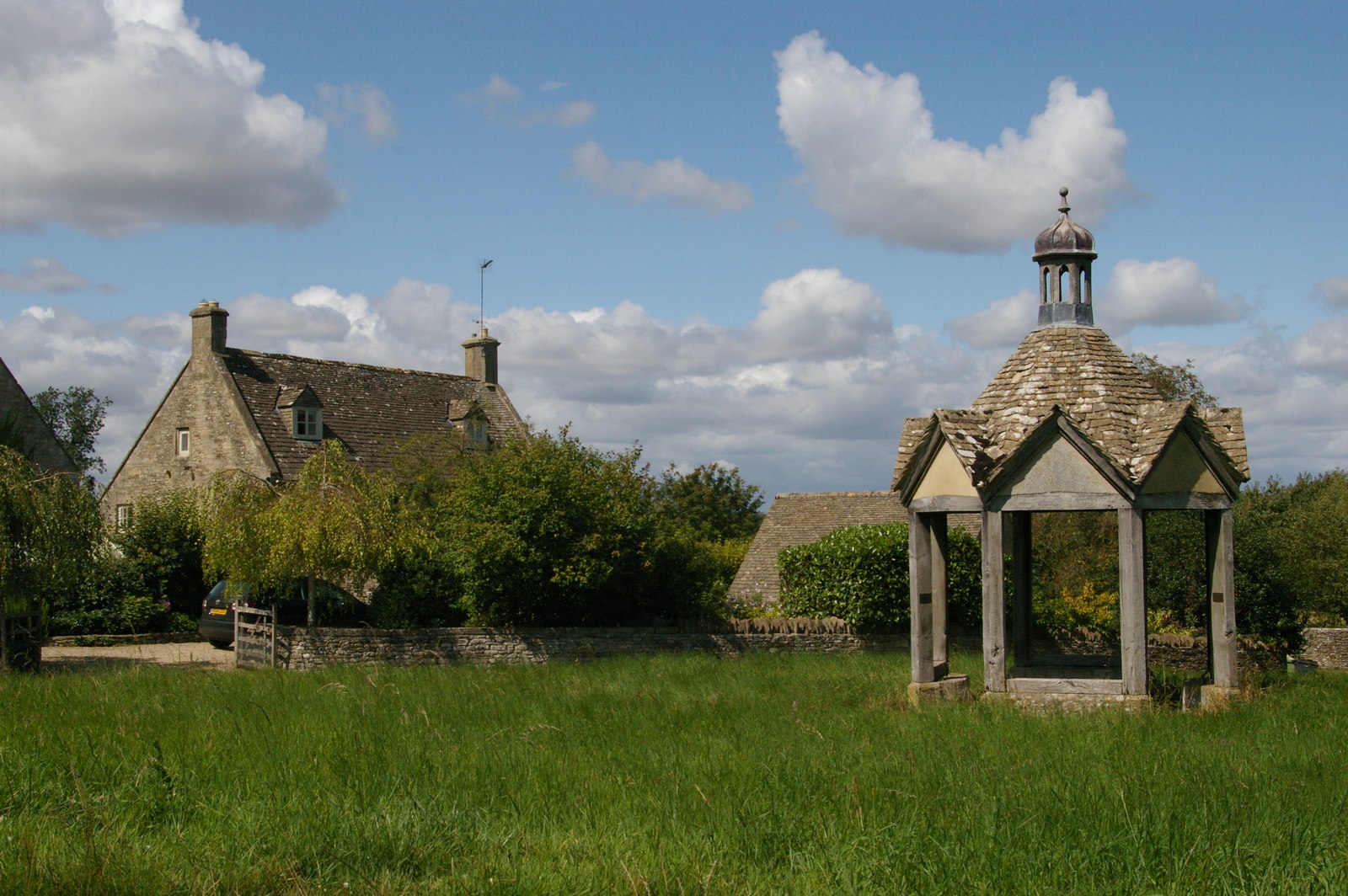
Crookmoor Ash Images

Images are sourced within 2km of 51.839228/-1.7591049 or Grid Reference SP1615. Thanks to Geograph Open Source API. All images are credited.

Sherborne Village Shop
Stone Stile, Sherborne On the LHS of the entrance to Oranges Farm, on Gloucestershire footpath KSH13, looking SW.
Stone Stile, Sherborne
On the LHS of the entrance to Oranges Farm, on Gloucestershire footpath KSH13, looking SW.
Stone Stile, Sherborne GS2719 Not on a registered footpath, this stile leads to Mairesfield Cops. On the South side of the bridge over Sherborne Brook
Stone Stile, Sherborne GS2719
Not on a registered footpath, this stile leads to Mairesfield Cops. On the South side of the bridge over Sherborne Brook
Cheltenham Lodges Grade II* listed.
Cheltenham Lodges
Grade II* listed.
Stone Stile, Sherborne Not on a Public Right of Way, on the South side of the Borne Stream and bridge looking to the road.
The view looking West in is <a href="https://www.geograph.org.uk/photo/7621999">SP1714 : Stone Stile, Sherborne</a>.
Stone Stile, Sherborne
Not on a Public Right of Way, on the South side of the Borne Stream and bridge looking to the road. The view looking West in is SP1714 : Stone Stile, Sherborne.
Stone Stile, Sherborne Not on a Public Right of Way, on the South side of the Borne Stream and bridge looking from the road.
The view looking East back is <a href="https://www.geograph.org.uk/photo/7621997">SP1714 : Stone Stile, Sherborne</a>.
Stone Stile, Sherborne
Not on a Public Right of Way, on the South side of the Borne Stream and bridge looking from the road. The view looking East back is SP1714 : Stone Stile, Sherborne.
St Mary's Church, Sherborne
War Memorial, Sherborne
Stone Stile, Sherborne On  Gloucestershire footpath KSH14 heading back to the village.
The view West looking to the road is <a href="https://www.geograph.org.uk/photo/7640913">SP1615 : Stone Stile, Sherborne</a>.
Stone Stile, Sherborne
On Gloucestershire footpath KSH14 heading back to the village. The view West looking to the road is SP1615 : Stone Stile, Sherborne.
Stone Stile, Sherborne On  Gloucestershire footpath KSH14  looking to the road.
The view East  heading back to the village is <a href="https://www.geograph.org.uk/photo/7640906">SP1615 : Stone Stile, Sherborne</a>.
Stone Stile, Sherborne
On Gloucestershire footpath KSH14 looking to the road. The view East heading back to the village is SP1615 : Stone Stile, Sherborne.
Stone Stile, Sherborne At the entrance to Oranges Farm, on Gloucestershire footpath KSH13 looking from the road.
The view NE looking to the road is <a href="https://www.geograph.org.uk/photo/7640930">SP1514 : Stone Stile, Sherborne</a>.
Stone Stile, Sherborne
At the entrance to Oranges Farm, on Gloucestershire footpath KSH13 looking from the road. The view NE looking to the road is SP1514 : Stone Stile, Sherborne.
Stone Stile, Sherborne At the entrance to Oranges Farm, on Gloucestershire footpath KSH13 looking out to the road.
The view SW from the road is <a href="https://www.geograph.org.uk/photo/7640927">SP1514 : Stone Stile, Sherborne</a>.
Stone Stile, Sherborne
At the entrance to Oranges Farm, on Gloucestershire footpath KSH13 looking out to the road. The view SW from the road is SP1514 : Stone Stile, Sherborne.
Road to Sherborne With West Belt, a belt of trees about 60 metres across, alongside on the right. On the left is merely a line of trees.
Road to Sherborne
With West Belt, a belt of trees about 60 metres across, alongside on the right. On the left is merely a line of trees.
The Oranges Farm, Sherborne Farm buildings seen from the road shown in <a href="https://www.geograph.org.uk/photo/4668946">SP1514 : Road to Sherborne</a> through a gap between Teardrop Wood and Stoney Copse.
The Oranges Farm, Sherborne
Farm buildings seen from the road shown in SP1514 : Road to Sherborne through a gap between Teardrop Wood and Stoney Copse.
Road to Sherborne From the same spot as <a href="https://www.geograph.org.uk/photo/4668969">SP1514 : The Oranges Farm, Sherborne</a>, which looks to the left. As with <a href="https://www.geograph.org.uk/photo/4668946">SP1514 : Road to Sherborne</a>, the West Belt on the right continues but is about to narrow, and ends in 150 metres.
Road to Sherborne
From the same spot as SP1514 : The Oranges Farm, Sherborne, which looks to the left. As with SP1514 : Road to Sherborne, the West Belt on the right continues but is about to narrow, and ends in 150 metres.
West Lodge The west lodge to Sherborne Park and Sherborne House, on the road shown in <a href="https://www.geograph.org.uk/photo/4668976">SP1514 : Road to Sherborne</a>. It is described at <span class="nowrap"><a title="http://list.historicengland.org.uk/resultsingle.aspx?uid=1000780&searchtype=mapsearch" rel="nofollow ugc noopener" href="http://list.historicengland.org.uk/resultsingle.aspx?uid=1000780&searchtype=mapsearch">Link</a><img style="margin-left:2px;" alt="External link" title="External link - shift click to open in new window" src="https://s1.geograph.org.uk/img/external.png" width="10" height="10"/></span> as "a fairly substantial two-storey, stone, Arts and Crafts-influenced lodge of 1909".
West Lodge
The west lodge to Sherborne Park and Sherborne House, on the road shown in SP1514 : Road to Sherborne. It is described at LinkExternal link as "a fairly substantial two-storey, stone, Arts and Crafts-influenced lodge of 1909".
Road to Sherborne A tall hedge runs alongside the road from Radbutt's Corner; on the right is Ragged Copse.
Road to Sherborne
A tall hedge runs alongside the road from Radbutt's Corner; on the right is Ragged Copse.
Approaching Sherborne The road shown in <a href="https://www.geograph.org.uk/photo/4669027">SP1614 : Road to Sherborne</a> approaches the crossroads near the west end of the village.
Approaching Sherborne
The road shown in SP1614 : Road to Sherborne approaches the crossroads near the west end of the village.
Show me another place!

Crookmoor Ash is located at Grid Ref: SP1615 (Lat: 51.839228, Lng: -1.7591049)

Administrative County: Gloucestershire

District: Cotswold

Police Authority: Gloucestershire

What 3 Words

///sandwich.escorting.residual. Near Bourton on the Water, Gloucestershire

Related Wikis

Sherborne House, Gloucestershire

Sherborne House is a large house in the village of Sherborne, Gloucestershire, England. It is a former country house that has been converted into flats...

Sherborne, Gloucestershire

Sherborne is a village and civil parish almost 3.5 miles (5.6 km) east of Northleach in Gloucestershire. Sherborne is a linear village, extending more...

Clapton, Gloucestershire

Clapton, also known as Clapton-on-the-Hill, is a small village and civil parish in the district of Cotswold, in the county of Gloucestershire, England...

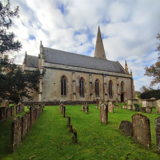
Church of St Peter, Farmington

The Anglican Church of St Peter at Farmington in the Cotswold District of Gloucestershire, England was built in the 12th century. It is a grade I listed...

Farmington, Gloucestershire

Farmington is a village located in the county of Gloucestershire, in England. As of 2011 the village had 112 residents. It is mentioned in the Domesday...

River Dikler

The River Dikler is a short river in the Cotswold District of Gloucestershire which flows for 12 kilometres (7.5 mi) through Upper Swell and to the west...

Great Rissington

Great Rissington is a village in the Cotswold district of Gloucestershire, England. The population taken at the 2011 census was 367. == History == In the...

Church of St Peter, Windrush

The Anglican Church of St Peter at Windrush in the Cotswold District of Gloucestershire, England was built in the 12th century. It is a grade I listed...

Related Videos

Gone Walkabout - Walk 1,000 Miles - Day Eighteen - 837 Miles To Go - Jack Wants To Drink Beer

Eighteenth day of the Walk 1000 Miles 2021 Challenge. Today's walk is from Windrush walking through Little Barrington, Great ...

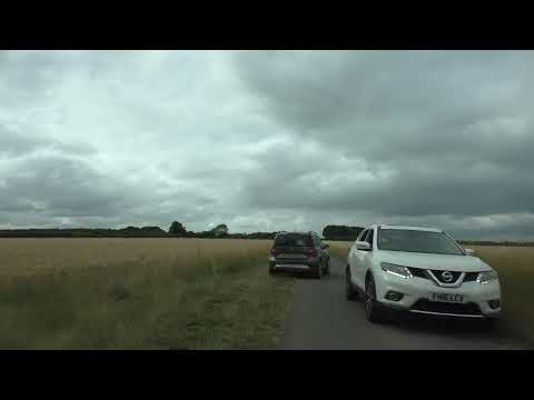
Driving From Sherborne Through Clapton-on-the-Hill To Bourton-on-the-Water, Cheltenham, England

Driving from Sherborne through Clapton-on-the-Hill to Bourton-on-the-Water, Cheltenham, Gloucestershire, England. Videoed on ...

Nearby Amenities

Located within 500m of 51.839228,-1.7591049
Access: no
Barrier: kissing_gate
Foot: designated
Material: wood
Wheelchair: no
Lat/Long: 51.8396363/-1.7556737
Access: no
Barrier: kissing_gate
Foot: designated
Material: wood
Wheelchair: no
Lat/Long: 51.8371171/-1.7581501
The data included in this document is from www.openstreetmap.org. The data is made available under ODbL.

Have you been to Crookmoor Ash?

Leave your review of Crookmoor Ash below (or comments, questions and feedback).