Bog Plantation
Wood, Forest in Derbyshire Derbyshire Dales
England
Bog Plantation
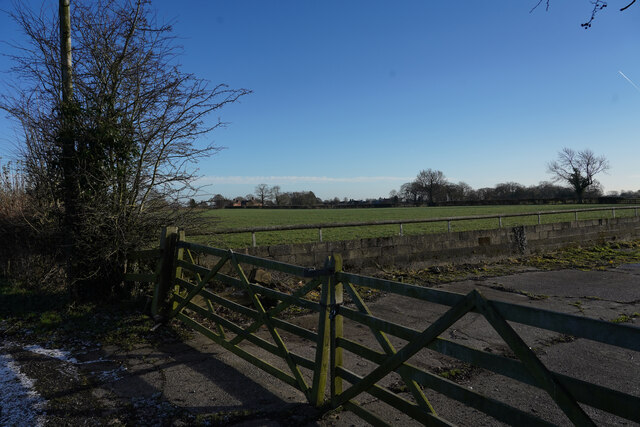
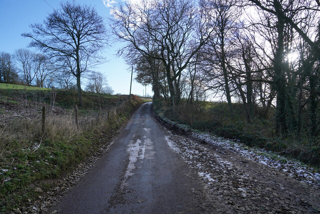
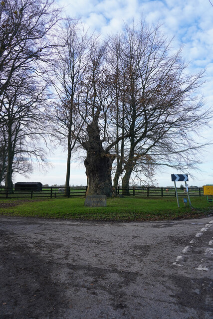
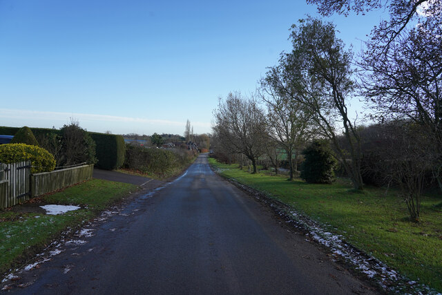
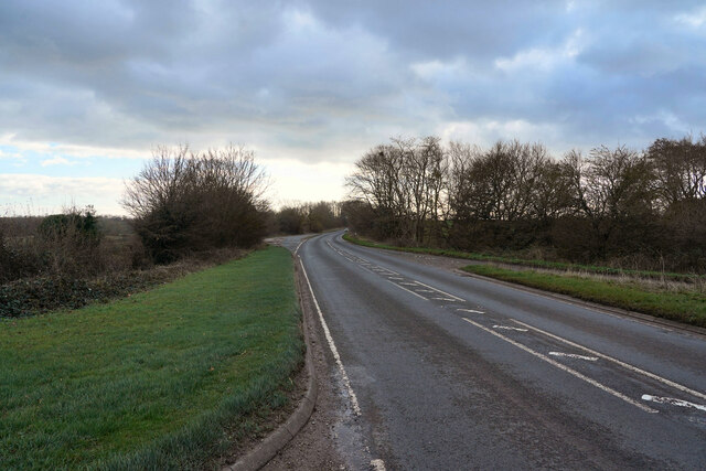
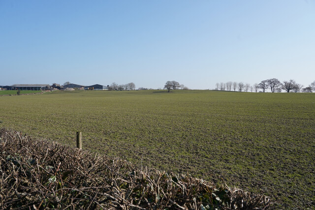
Bog Plantation, located in Derbyshire, is a picturesque woodland area known for its unique ecosystem and natural beauty. Situated in the heart of the county, the plantation covers a vast area of land, providing a haven for wildlife and offering visitors an opportunity to immerse themselves in nature.
The plantation is characterized by its dense vegetation, predominantly consisting of deciduous trees such as oak, birch, and beech. These towering trees create a dense canopy, providing shade and shelter for a variety of plant and animal species. The forest floor is covered in a thick layer of moss and ferns, adding to the enchanting atmosphere of the woodland.
One of the defining features of Bog Plantation is its expansive network of peat bogs. These unique wetland areas are formed by the accumulation of decomposed plant material over thousands of years. The bogs support a diverse range of plant life, including sphagnum mosses, heathers, and carnivorous plants like sundews and bladderworts. This makes Bog Plantation a haven for botany enthusiasts and nature lovers alike.
The plantation is also home to a rich array of wildlife. Visitors may spot various bird species, such as woodpeckers, owls, and warblers, darting through the trees. Mammals like deer, foxes, and squirrels can also be observed, while the bogs provide habitat for amphibians and insects.
Bog Plantation offers visitors an opportunity to explore its winding trails and immerse themselves in the tranquility of nature. With its diverse flora and fauna, this woodland area in Derbyshire is a true gem for those seeking solace in the great outdoors.
If you have any feedback on the listing, please let us know in the comments section below.
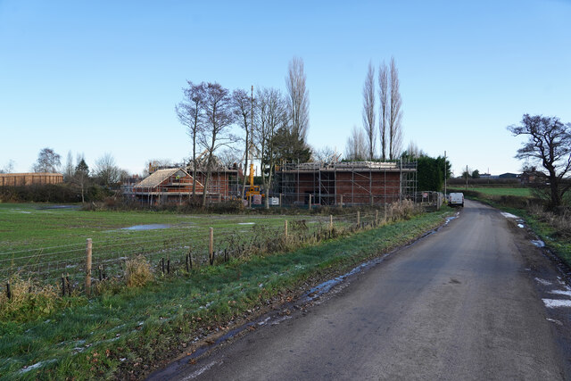
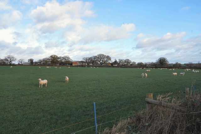
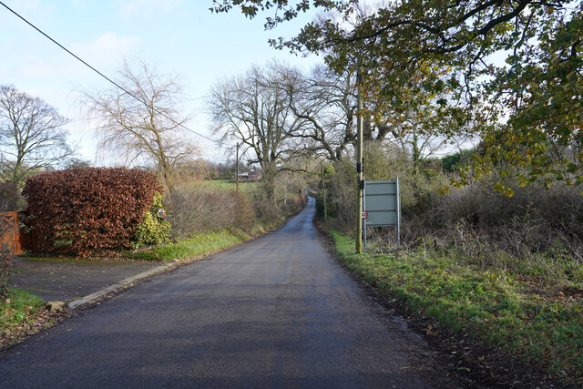
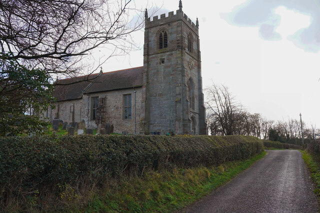
Bog Plantation Images
Images are sourced within 2km of 52.929091/-1.7546972 or Grid Reference SK1636. Thanks to Geograph Open Source API. All images are credited.


Bog Plantation is located at Grid Ref: SK1636 (Lat: 52.929091, Lng: -1.7546972)
Administrative County: Derbyshire
District: Derbyshire Dales
Police Authority: Derbyshire
What 3 Words
///resolved.nuns.shuttled. Near Doveridge, Derbyshire
Nearby Locations
Related Wikis

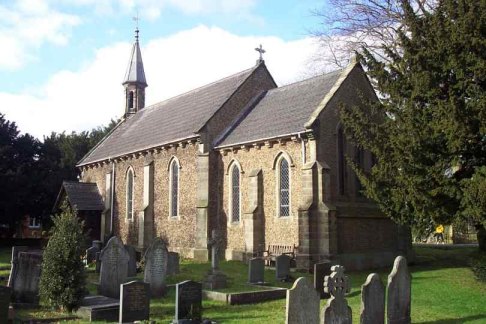
St Andrew's Church, Cubley
St Andrew's Church, Cubley is a Grade I listed parish church in the Church of England in Cubley, Derbyshire. == History == The church dates from the mid...
Cubley, Derbyshire
Cubley is a parish of two closely linked villages six miles (10 km) south of Ashbourne in Derbyshire. Great Cubley and Little Cubley are known collectively...

Harehill
Harehill is a village in the civil parish of Boylestone, in the Derbyshire Dales district, in the county of Derbyshire, England. == Nearby settlements... ==
Alkmonton
Alkmonton is a village and civil parish in the Derbyshire Dales district of Derbyshire, England, roughly between Uttoxeter and Derby. The parish had a...
Boylestone
Boylestone is a village and civil parish in the Derbyshire Dales district of Derbyshire, England. At the 2011 census, it had a population of 318. The village...

Hungry Bentley
Hungry Bentley is a deserted medieval village and civil parish in the Derbyshire Dales district of Derbyshire, England, between Uttoxeter and Derby. The...
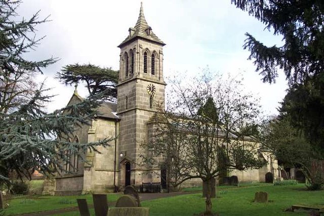
St John the Baptist's Church, Boylestone
St John the Baptist's Church, Boylestone is a Grade II* listed parish church in the Church of England in Boylestone, Derbyshire. == History == The church...

Alkmonton medieval settlement
Alkmonton medieval settlement is an archaeological site, a deserted medieval village near the present-day village of Alkmonton, about 5 miles (8 km) south...
Nearby Amenities
Located within 500m of 52.929091,-1.7546972Have you been to Bog Plantation?
Leave your review of Bog Plantation below (or comments, questions and feedback).