Beryl's Gorse
Wood, Forest in Derbyshire Derbyshire Dales
England
Beryl's Gorse
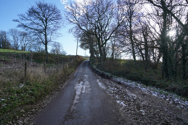
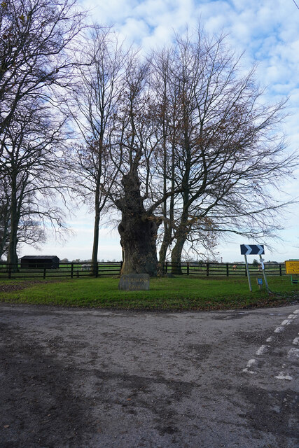
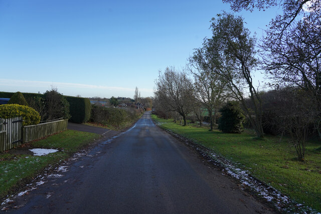
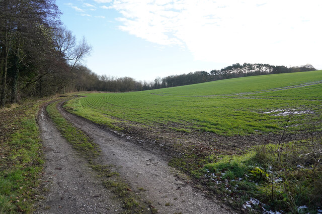
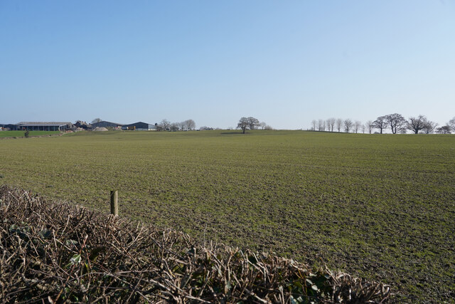
Beryl's Gorse is a small woodland area located in the county of Derbyshire, England. It is a part of the larger Peak District National Park and is situated near the town of Matlock. Covering an area of approximately 50 acres, Beryl's Gorse is a beautiful and tranquil forest that offers visitors a variety of natural wonders to explore.
The woodland is primarily composed of gorse bushes, which are known for their vibrant yellow flowers that bloom in the spring and summer months. This creates a stunning display of color that attracts many visitors to the area. In addition to the gorse, the forest is also home to a diverse range of plant species, including heather, ferns, and various wildflowers.
Beryl's Gorse is also known for its rich wildlife. The woodland provides a habitat for many species of birds, including woodpeckers, owls, and finches. Small mammals such as squirrels, rabbits, and voles can also be spotted within the forest. Additionally, the forest is home to several species of butterflies and other insects, adding to its biodiversity.
Visitors to Beryl's Gorse can enjoy various activities such as hiking, birdwatching, and photography. The forest is crisscrossed with a network of walking trails, allowing visitors to explore its beauty at their own pace. The peaceful ambiance and picturesque surroundings make it an ideal destination for nature lovers and those seeking a break from the hustle and bustle of everyday life.
Overall, Beryl's Gorse is a hidden gem within the Derbyshire countryside, offering visitors a chance to immerse themselves in nature and experience the beauty of the Peak District National Park.
If you have any feedback on the listing, please let us know in the comments section below.
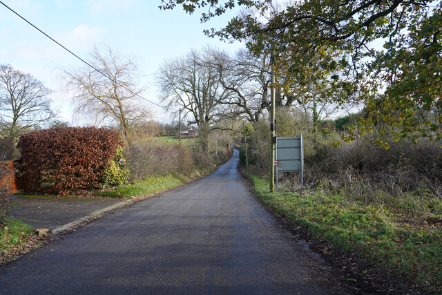
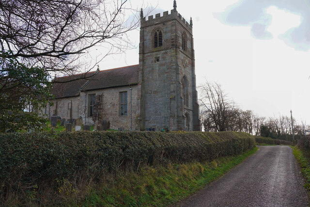
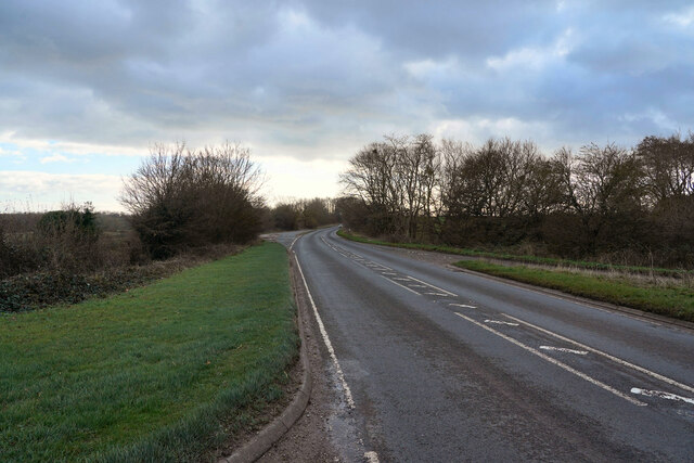
Beryl's Gorse Images
Images are sourced within 2km of 52.923811/-1.7529421 or Grid Reference SK1636. Thanks to Geograph Open Source API. All images are credited.


Beryl's Gorse is located at Grid Ref: SK1636 (Lat: 52.923811, Lng: -1.7529421)
Administrative County: Derbyshire
District: Derbyshire Dales
Police Authority: Derbyshire
What 3 Words
///veal.wiggly.masks. Near Doveridge, Derbyshire
Nearby Locations
Related Wikis

Harehill
Harehill is a village in the civil parish of Boylestone, in the Derbyshire Dales district, in the county of Derbyshire, England. == Nearby settlements... ==

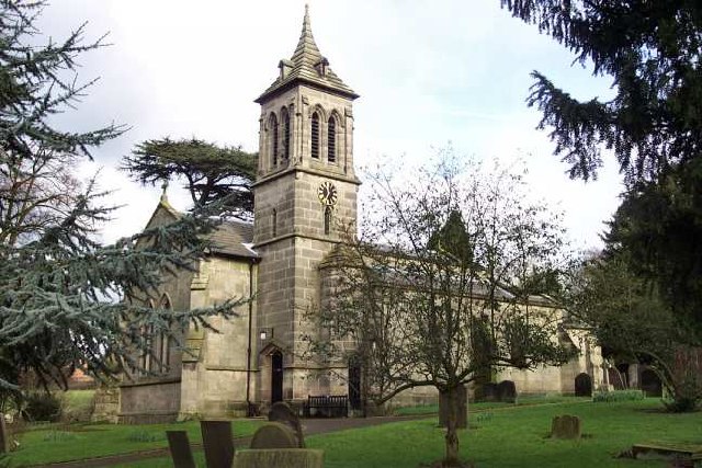
St Andrew's Church, Cubley
St Andrew's Church, Cubley is a Grade I listed parish church in the Church of England in Cubley, Derbyshire. == History == The church dates from the mid...
Boylestone
Boylestone is a village and civil parish in the Derbyshire Dales district of Derbyshire, England. At the 2011 census, it had a population of 318. The village...
Alkmonton
Alkmonton is a village and civil parish in the Derbyshire Dales district of Derbyshire, England, roughly between Uttoxeter and Derby. The parish had a...
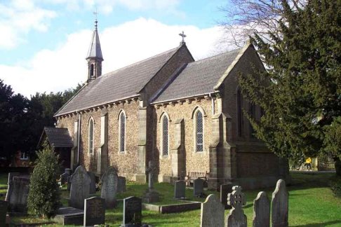
St John the Baptist's Church, Boylestone
St John the Baptist's Church, Boylestone is a Grade II* listed parish church in the Church of England in Boylestone, Derbyshire. == History == The church...
Cubley, Derbyshire
Cubley is a parish of two closely linked villages six miles (10 km) south of Ashbourne in Derbyshire. Great Cubley and Little Cubley are known collectively...

Hungry Bentley
Hungry Bentley is a deserted medieval village and civil parish in the Derbyshire Dales district of Derbyshire, England, between Uttoxeter and Derby. The...

Alkmonton medieval settlement
Alkmonton medieval settlement is an archaeological site, a deserted medieval village near the present-day village of Alkmonton, about 5 miles (8 km) south...
Nearby Amenities
Located within 500m of 52.923811,-1.7529421Have you been to Beryl's Gorse?
Leave your review of Beryl's Gorse below (or comments, questions and feedback).