York's Wood

Wood, Forest in Warwickshire

England

York's Wood

Travelodge Castle Bromwich
Travelodge Castle Bromwich Credit: Ian S

York's Wood is a sprawling forest located in the county of Warwickshire, England. Covering an area of approximately 500 acres, the wood is a popular destination for nature enthusiasts, hikers, and wildlife lovers. It is situated near the village of York, which lends its name to the forest.

The wood is predominantly composed of mature broadleaf trees, including oak, beech, and ash, which create a dense canopy that provides shelter and habitat for a diverse range of flora and fauna. The forest floor is covered in a thick layer of leaf litter, adding to the enchanting atmosphere of the woodland.

Several walking trails wind their way through the wood, offering visitors the opportunity to explore its beauty and serenity. These trails vary in length and difficulty, catering to both casual strollers and avid hikers. Along these paths, one can observe a variety of woodland creatures, such as deer, squirrels, and a multitude of bird species.

York's Wood is a designated Site of Special Scientific Interest (SSSI) due to its ecological importance. It is home to several rare and protected species, including the lesser horseshoe bat and the pearl-bordered fritillary butterfly. Conservation efforts are underway to preserve and enhance the biodiversity of the wood, ensuring its long-term survival.

Overall, York's Wood is a captivating natural haven that offers a tranquil escape from the hustle and bustle of everyday life. Its ancient trees, diverse wildlife, and picturesque trails make it a must-visit destination for anyone seeking to immerse themselves in the beauty of Warwickshire's countryside.

If you have any feedback on the listing, please let us know in the comments section below.
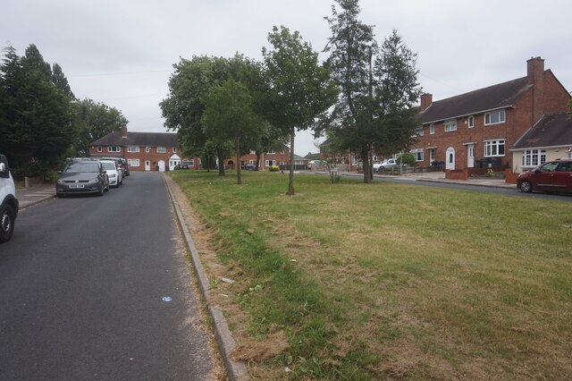
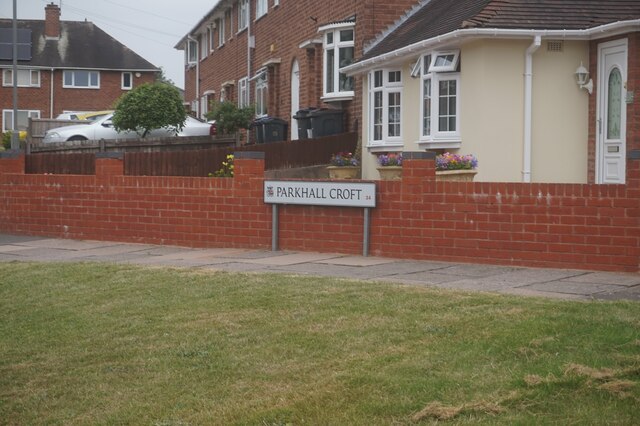
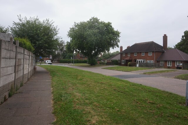
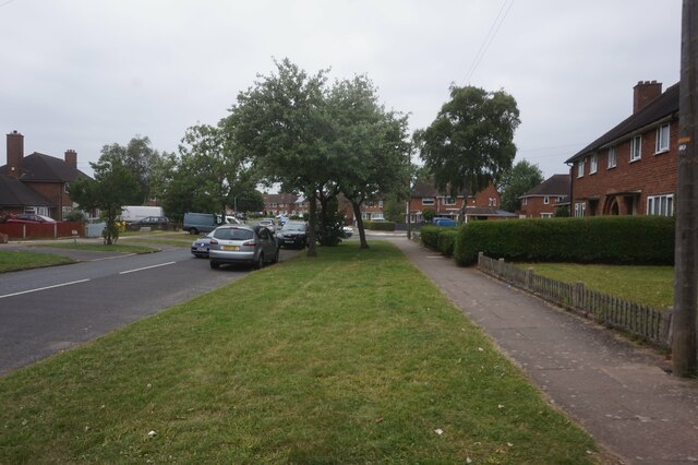
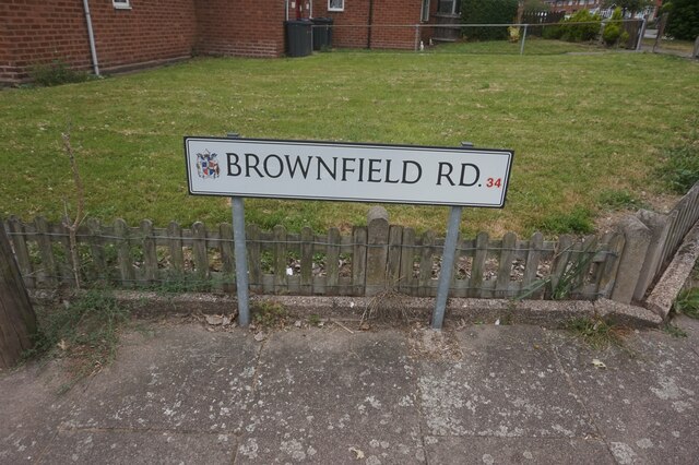
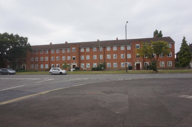
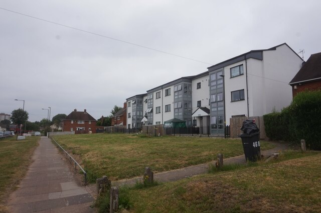
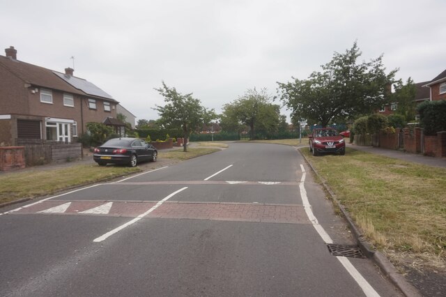
York's Wood Images

Images are sourced within 2km of 52.491747/-1.7597421 or Grid Reference SP1688. Thanks to Geograph Open Source API. All images are credited.

Travelodge Castle Bromwich
Bradford Road, Castle Bromwich
B4114, Bradford Road, Castle Bromwich
Quality Valeting, Bradford Road, Castle Bromwich
Old Croft Lane, Birmingham
Parkhall Croft, Birmingham
Old Croft Lane, Birmingham
Brownfield Road, Birmingham
Heath Way, Birmingham
School Lane, Birmingham
Little Heath Croft off Heath Way, Birmingham
The Farthings public house, Castle Bromwich
Show me another place!

York's Wood is located at Grid Ref: SP1688 (Lat: 52.491747, Lng: -1.7597421)

Unitary Authority: Solihull

Police Authority: West Midlands

What 3 Words

///mostly.button.club. Near Chelmsley Wood, West Midlands

Nearby Locations

York's Wood Kingshurst

Related Wikis

Yorks Wood

Yorks Wood is a Local Nature Reserve in Kingshurst, Solihull, England. It is an 11 hectares (27 acres) ancient wood of predominantly oak trees. The River...
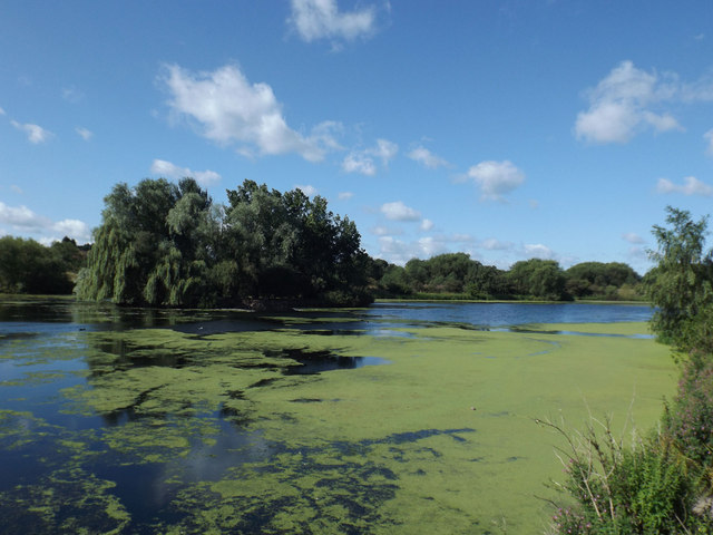
Babbs Mill Lake

Babbs Mill Lake, sometimes called Kingshurst Lake, is a man-made lake in the Kingfisher Country Park in Kingshurst, Solihull in England. The lake was created...
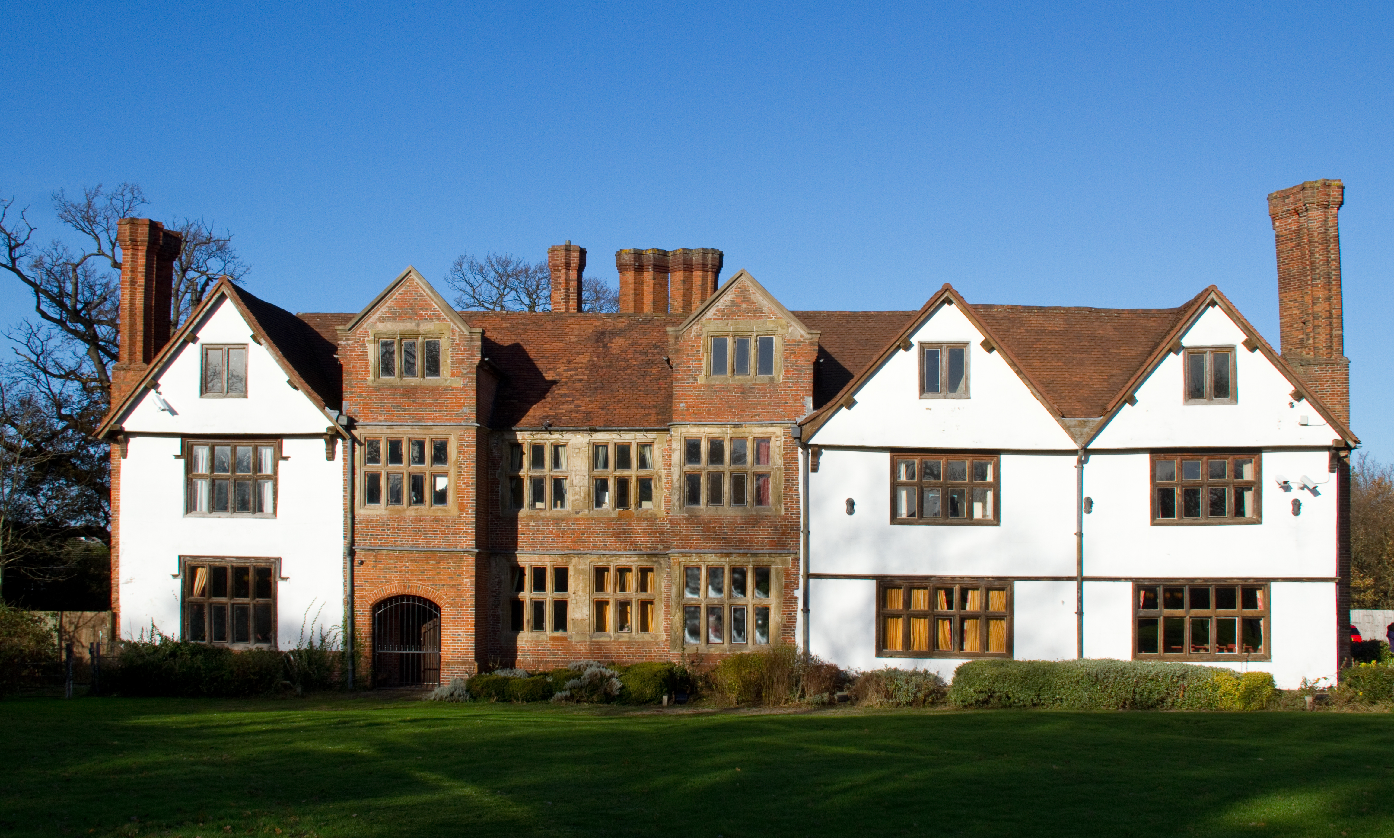
Sheldon Hall

Sheldon Hall is an early 16th-century Grade II* listed manor house located on Gressel Lane in the Tile Cross area of Birmingham, England, consisting of...
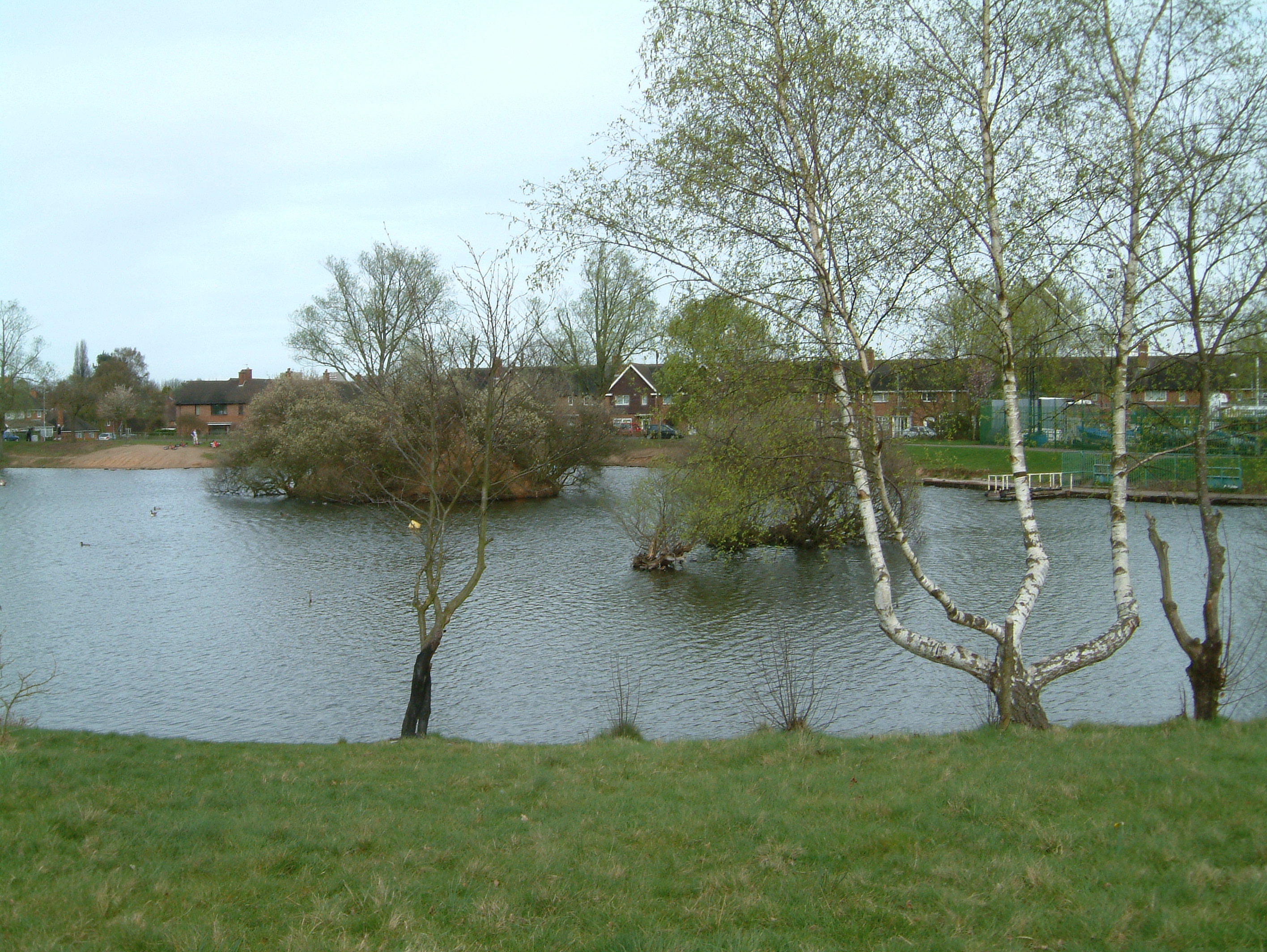
Shard End Lake

Shard End Lake is a man-made lake created out of an old quarry, it is managed by Kingfisher Country Park. It is Located in Birmingham, this lake holds...

Kingshurst

Kingshurst is a post-war village and civil parish in the Metropolitan Borough of Solihull, in the West Midlands. It lies about 9 miles (14 km) east of...

Tudor Grange Academy, Kingshurst

Tudor Grange Academy, Kingshurst (previously CTC Kingshurst Academy) is a coeducational secondary school and sixth form located in Kingshurst, Solihull...

John Henry Newman Catholic College

John Henry Newman Catholic College (JHNCC), formerly Archbishop Grimshaw School, is an English secondary school in the Fordbridge area of Solihull, although...

Fordbridge

Fordbridge is a town and civil parish in the Metropolitan Borough of Solihull, in the West Midlands, England. It is 8 miles (13 km) east of Birmingham...

Nearby Amenities

Located within 500m of 52.491747,-1.7597421
Source: bing
Traffic Calming: bump
Lat/Long: 52.4906954/-1.7552361
Source: bing
Traffic Calming: bump
Lat/Long: 52.49197/-1.7558931
Source: bing
Traffic Calming: bump
Lat/Long: 52.4928963/-1.7559448
Source: bing
Traffic Calming: bump
Lat/Long: 52.4929375/-1.7567651
Source: bing
Traffic Calming: bump
Lat/Long: 52.4889379/-1.7549991
Source: bing
Traffic Calming: bump
Lat/Long: 52.4897773/-1.7542183
Source: bing
Traffic Calming: bump
Lat/Long: 52.4891476/-1.756357
Source: bing
Traffic Calming: bump
Lat/Long: 52.4933552/-1.755549
Traffic Calming: bump
Lat/Long: 52.4899668/-1.7532201
Source: bing
Traffic Calming: bump
Lat/Long: 52.4920874/-1.7529787
Source: bing
Traffic Calming: bump
Lat/Long: 52.4922524/-1.7558292
Source: Warwicks Aerial Imagery OGLv2
Traffic Calming: bump
Lat/Long: 52.4935145/-1.7628438
Source: Warwicks Aerial Imagery OGLv2
Traffic Calming: bump
Lat/Long: 52.4941771/-1.7628522
Source: bing
Traffic Calming: bump
Lat/Long: 52.4943254/-1.7550567
Source: bing
Traffic Calming: bump
Lat/Long: 52.4938474/-1.7554292
Source: bing
Traffic Calming: bump
Lat/Long: 52.4933209/-1.7570381
Turning Circle
Source: bing
Lat/Long: 52.4918694/-1.7656303
Turning Circle
Source: bing
Lat/Long: 52.4955772/-1.7628539
Bus Stop
Kendrick Ave / School Playing Field Gate
Bus: yes
Naptan AtcoCode: 43000472201
Naptan Bearing: E
Naptan BusStopType: MKD
Naptan CommonName: School Playing Field Gate
Naptan Indicator: adj
Naptan NaptanCode: nwmdgjgw
Naptan PlusbusZoneRef: BHAMNWS
Naptan Status: ACT
Naptan StopType: BCT
Naptan Street: KENDRICK AVE
Naptan Towards: Kingshurst
Naptan Verified: no
Public Transport: platform
Route Ref: 55A;56;59
Source: WMCA
Lat/Long: 52.4900429/-1.7652523
Bus Stop
Kendrick Ave / School Playing Field Gate
Bus: yes
Naptan AtcoCode: 43000472202
Naptan Bearing: W
Naptan BusStopType: MKD
Naptan CommonName: School Playing Field Gate
Naptan Indicator: opp
Naptan NaptanCode: nwmdgjma
Naptan PlusbusZoneRef: BHAMNWS
Naptan Status: ACT
Naptan StopType: BCT
Naptan Street: KENDRICK AVE
Naptan Towards: Birmingham
Naptan Verified: no
Public Transport: platform
Route Ref: 55A;56;59
Source: WMCA
Lat/Long: 52.4898898/-1.7651353
Bus Stop
Kendrick Ave / Roebuck Close
NaPTANAreaCode: 43000472301
Bus: yes
Naptan AtcoCode: 43000472301
Naptan Bearing: W
Naptan BusStopType: MKD
Naptan CommonName: Roebuck Close
Naptan Indicator: adj
Naptan NaptanCode: nwmdgjmd
Naptan PlusbusZoneRef: BHAMNWS
Naptan Status: ACT
Naptan StopType: BCT
Naptan Street: KENDRICK AVE
Naptan Towards: Birmingham
Naptan Verified: no
Public Transport: platform
Route Ref: 55A;56;59
Shelter: yes
Shelter Ref: 607708
Source: WMCA
Lat/Long: 52.4910086/-1.7626403
Bus Stop
Kendrick Ave / Roebuck Close
Bus: yes
Naptan AtcoCode: 43000472302
Naptan Bearing: E
Naptan BusStopType: MKD
Naptan CommonName: Roebuck Close
Naptan Indicator: opp
Naptan NaptanCode: nwmdgjmg
Naptan PlusbusZoneRef: BHAMNWS
Naptan Status: ACT
Naptan StopType: BCT
Naptan Street: KENDRICK AVE
Naptan Towards: Kingshurst
Naptan Verified: no
Public Transport: platform
Route Ref: 55A;56;59
Source: WMCA
Lat/Long: 52.4911694/-1.762124
Bus Stop
Kendrick Ave / Yorkswood Scout Camp
Bus: yes
Naptan AtcoCode: 43000472401
Naptan Bearing: SE
Naptan BusStopType: MKD
Naptan CommonName: Yorkswood Scout Camp
Naptan Indicator: opp
Naptan NaptanCode: nwmdgjmj
Naptan PlusbusZoneRef: BHAMNWS
Naptan Status: ACT
Naptan StopType: BCT
Naptan Street: KENDRICK AVE
Naptan Towards: Birmingham
Naptan Verified: no
Public Transport: platform
Route Ref: 55A;56;59
Source: WMCA
Lat/Long: 52.4930492/-1.7625557
Bus Stop
Kendrick Ave / Yorkswood Scout Camp
Bus: yes
Naptan AtcoCode: 43000472402
Naptan Bearing: NW
Naptan BusStopType: MKD
Naptan CommonName: Yorkswood Scout Camp
Naptan Indicator: before
Naptan NaptanCode: nwmdgjmp
Naptan PlusbusZoneRef: BHAMNWS
Naptan Status: ACT
Naptan StopType: BCT
Naptan Street: KENDRICK AVE
Naptan Towards: Kingshurst
Naptan Verified: no
Public Transport: platform
Route Ref: 55A;56;59
Source: WMCA
Lat/Long: 52.4928785/-1.7626008
Bus Stop
Longmeadow Cres / Longmeadow School
Bus: yes
Naptan AtcoCode: 43000473301
Naptan Bearing: W
Naptan BusStopType: MKD
Naptan CommonName: Longmeadow School
Naptan Indicator: adj
Naptan NaptanCode: nwmdgjpg
Naptan PlusbusZoneRef: BHAMNWS
Naptan Status: ACT
Naptan StopType: BCT
Naptan Street: LONGMEADOW CRES
Naptan Towards: Birmingham
Public Transport: platform
Route Ref: 55A
Shelter: yes
Source: WMCA
Lat/Long: 52.4948008/-1.7632269
Bus Stop
Longmeadow Cres / Longmeadow School
Bus: yes
Naptan AtcoCode: 43000473302
Naptan Bearing: E
Naptan BusStopType: MKD
Naptan CommonName: Longmeadow School
Naptan Indicator: opp
Naptan NaptanCode: nwmdgjpj
Naptan PlusbusZoneRef: BHAMNWS
Naptan Status: ACT
Naptan StopType: BCT
Naptan Street: LONGMEADOW CRES
Naptan Towards: Chelmsley Wood
Public Transport: platform
Route Ref: 55A
Shelter: yes
Source: WMCA
Lat/Long: 52.4948202/-1.7642636
Bus Stop
Longmeadow Cres / Berrowside Rd
Bus: yes
Naptan AtcoCode: 43000473401
Naptan Bearing: NE
Naptan BusStopType: MKD
Naptan CommonName: Berrowside Rd
Naptan Indicator: adj
Naptan NaptanCode: nwmdgjpm
Naptan PlusbusZoneRef: BHAMNWS
Naptan Status: ACT
Naptan StopType: BCT
Naptan Street: LONGMEADOW CRES
Naptan Towards: Chelmsley Wood
Naptan Verified: no
Public Transport: platform
Route Ref: 55A
Source: WMCA
Lat/Long: 52.4960115/-1.7603155
Bus Stop
Longmeadow Cres / Berrowside Rd
Bus: yes
Naptan AtcoCode: 43000473402
Naptan Bearing: SW
Naptan BusStopType: MKD
Naptan CommonName: Berrowside Rd
Naptan Indicator: opp
Naptan NaptanCode: nwmdgjpt
Naptan PlusbusZoneRef: BHAMNWS
Naptan Status: ACT
Naptan StopType: BCT
Naptan Street: LONGMEADOW CRES
Naptan Towards: Birmingham
Naptan Verified: no
Public Transport: platform
Route Ref: 55A
Source: WMCA
Lat/Long: 52.4956882/-1.7605088
Bus Stop
Fordbridge Rd / Kingshurst Way
Bench: no
Bus: yes
Naptan AtcoCode: 43000181101
Naptan Bearing: W
Naptan BusStopType: MKD
Naptan CommonName: Kingshurst Way
Naptan Indicator: opp
Naptan NaptanCode: nwmagjmd
Naptan PlusbusZoneRef: BHAMNWS
Naptan Status: ACT
Naptan StopType: BCT
Naptan Street: FORDBRIDGE RD
Naptan Towards: Birmingham
Naptan Verified: no
Public Transport: platform
Route Ref: 56;59
Shelter: no
Source: WMCA
Tactile Paving: no
Lat/Long: 52.4884222/-1.755158
Bus Stop
Silver Birch Rd / Kingshurst Way
Bus: yes
Naptan AtcoCode: 43000181701
Naptan Bearing: NW
Naptan BusStopType: MKD
Naptan CommonName: Kingshurst Way
Naptan Indicator: adj
Naptan NaptanCode: nwmagjpm
Naptan PlusbusZoneRef: BHAMNWS
Naptan Status: ACT
Naptan StopType: BCT
Naptan Street: SILVER BIRCH RD
Naptan Towards: Birmingham
Public Transport: platform
Route Ref: 55;55A
Shelter: yes
Source: WMCA
Lat/Long: 52.4948961/-1.755245
Postal Code: B37
Lat/Long: 52.4892423/-1.7569221
Source: bing
Traffic Calming: bump
Lat/Long: 52.4896429/-1.7569097
Source: bing
Traffic Calming: bump
Lat/Long: 52.4893143/-1.7543978
Source: bing
Traffic Calming: bump
Lat/Long: 52.4929889/-1.7587067
Source: bing
Traffic Calming: bump
Lat/Long: 52.4937233/-1.7573432
Source: bing
Traffic Calming: bump
Lat/Long: 52.4927191/-1.7557131
Source: bing
Traffic Calming: bump
Lat/Long: 52.4928538/-1.7572584
Source: bing
Traffic Calming: bump
Lat/Long: 52.4930403/-1.7556392
Source: bing
Traffic Calming: bump
Lat/Long: 52.4936922/-1.7566077
Source: bing
Traffic Calming: bump
Lat/Long: 52.4937492/-1.7579631
Source: bing
Traffic Calming: bump
Lat/Long: 52.4907177/-1.7532271
Source: bing
Traffic Calming: bump
Lat/Long: 52.4909483/-1.7555305
Source: bing
Traffic Calming: bump
Lat/Long: 52.4914026/-1.7526143
Source: bing
Traffic Calming: bump
Lat/Long: 52.4886143/-1.7576909
Source: bing
Traffic Calming: bump
Lat/Long: 52.488763/-1.7581003
Source: bing
Traffic Calming: bump
Lat/Long: 52.48944/-1.7579956
Source: bing
Traffic Calming: bump
Lat/Long: 52.4899527/-1.7579212
Source: bing
Traffic Calming: bump
Lat/Long: 52.488658/-1.755105
Source: bing
Traffic Calming: bump
Lat/Long: 52.4937544/-1.7534273
Source: bing
Traffic Calming: bump
Lat/Long: 52.4890922/-1.7557493
Source: bing
Traffic Calming: bump
Lat/Long: 52.4905395/-1.7569318
Source: bing
Traffic Calming: bump
Lat/Long: 52.4885724/-1.7556585
Source: bing
Traffic Calming: bump
Lat/Long: 52.4902991/-1.7558258
Source: bing
Traffic Calming: bump
Lat/Long: 52.4942101/-1.7557373
Source: bing
Traffic Calming: bump
Lat/Long: 52.4943739/-1.7568341
Source: bing
Traffic Calming: bump
Lat/Long: 52.4946434/-1.7549725
Source: bing
Traffic Calming: bump
Lat/Long: 52.4940001/-1.7540964
Source: Warwicks Aerial Imagery OGLv2
Traffic Calming: bump
Lat/Long: 52.494712/-1.7628915
Bus Stop
Silver Birch Rd / Gilwell Road
Bus: yes
Naptan AtcoCode: 43004730802
Naptan Bearing: NW
Naptan BusStopType: MKD
Naptan CommonName: Gilwell Road
Naptan Indicator: adj
Naptan NaptanCode: nwmwgdjp
Naptan Status: ACT
Naptan StopType: BCT
Naptan Street: SILVER BIRCH RD
Naptan Towards: Birmingham
Public Transport: platform
Route Ref: 55;55A
Source: WMCA
Lat/Long: 52.4954998/-1.7585949
Bus Stop
Silver Birch Rd / Gilwell Road
Bus: yes
Naptan AtcoCode: 43004730801
Naptan Bearing: SE
Naptan BusStopType: MKD
Naptan CommonName: Gilwell Road
Naptan Indicator: opp
Naptan NaptanCode: nwmwgdjm
Naptan Status: ACT
Naptan StopType: BCT
Naptan Street: SILVER BIRCH RD
Naptan Towards: Chelmsley Wood
Public Transport: platform
Route Ref: 55;55A
Source: WMCA
Lat/Long: 52.4956055/-1.7585803
Post Box
Ref: B34 945
Lat/Long: 52.4956991/-1.7587462
Post Box
Ref: B34 1305
Lat/Long: 52.4910985/-1.7634506
Power: substation
Lat/Long: 52.4957039/-1.7585797
Post Box
Ref: B37 1063
Lat/Long: 52.4922923/-1.7556717
Generator Method: photovoltaic
Generator Output Electricity: yes
Generator Source: solar
Generator Type: solar_photovoltaic_panel
Location: roof
Power: generator
Lat/Long: 52.4938668/-1.7576328
Generator Method: photovoltaic
Generator Output Electricity: yes
Generator Source: solar
Generator Type: solar_photovoltaic_panel
Location: roof
Power: generator
Lat/Long: 52.4938211/-1.7571849
Generator Method: photovoltaic
Generator Output Electricity: yes
Generator Solar Modules: 12
Generator Source: solar
Generator Type: solar_photovoltaic_panel
Location: roof
Power: generator
Lat/Long: 52.4942097/-1.757386
Generator Method: photovoltaic
Generator Output Electricity: yes
Generator Source: solar
Generator Type: solar_photovoltaic_panel
Location: roof
Power: generator
Lat/Long: 52.4955962/-1.7594031
Generator Method: photovoltaic
Generator Output Electricity: yes
Generator Source: solar
Generator Type: solar_photovoltaic_panel
Location: roof
Power: generator
Lat/Long: 52.4954427/-1.7589149
Generator Method: photovoltaic
Generator Output Electricity: yes
Generator Source: solar
Generator Type: solar_photovoltaic_panel
Location: roof
Power: generator
Lat/Long: 52.4954655/-1.7588425
Generator Method: photovoltaic
Generator Output Electricity: yes
Generator Source: solar
Generator Type: solar_photovoltaic_panel
Location: roof
Power: generator
Lat/Long: 52.4913828/-1.7537114
Generator Method: photovoltaic
Generator Output Electricity: yes
Generator Source: solar
Generator Type: solar_photovoltaic_panel
Location: roof
Power: generator
Lat/Long: 52.4915266/-1.7540333
Generator Method: photovoltaic
Generator Output Electricity: yes
Generator Source: solar
Generator Type: solar_photovoltaic_panel
Location: roof
Power: generator
Lat/Long: 52.4914482/-1.7543069
Generator Method: photovoltaic
Generator Output Electricity: yes
Generator Source: solar
Generator Type: solar_photovoltaic_panel
Location: roof
Power: generator
Lat/Long: 52.4910725/-1.7549747
Generator Method: photovoltaic
Generator Output Electricity: yes
Generator Source: solar
Generator Type: solar_photovoltaic_panel
Location: roof
Power: generator
Lat/Long: 52.4910186/-1.755259
Generator Method: photovoltaic
Generator Output Electricity: yes
Generator Source: solar
Generator Type: solar_photovoltaic_panel
Location: roof
Power: generator
Lat/Long: 52.4899881/-1.7547816
Generator Method: photovoltaic
Generator Output Electricity: yes
Generator Source: solar
Generator Type: solar_photovoltaic_panel
Location: roof
Power: generator
Lat/Long: 52.4899587/-1.7555514
Generator Method: photovoltaic
Generator Output Electricity: yes
Generator Source: solar
Generator Type: solar_photovoltaic_panel
Location: roof
Power: generator
Lat/Long: 52.4896876/-1.7563748
Generator Method: photovoltaic
Generator Output Electricity: yes
Generator Solar Modules: 15
Generator Source: solar
Generator Type: solar_photovoltaic_panel
Location: roof
Power: generator
Lat/Long: 52.4892581/-1.7550579
Generator Method: photovoltaic
Generator Output Electricity: yes
Generator Solar Modules: 15
Generator Source: solar
Generator Type: solar_photovoltaic_panel
Location: roof
Power: generator
Lat/Long: 52.4892858/-1.7557392
Generator Method: photovoltaic
Generator Output Electricity: yes
Generator Source: solar
Generator Type: solar_photovoltaic_panel
Location: roof
Power: generator
Lat/Long: 52.4906692/-1.756914
Generator Method: photovoltaic
Generator Output Electricity: yes
Generator Source: solar
Generator Type: solar_photovoltaic_panel
Location: roof
Power: generator
Lat/Long: 52.4949332/-1.7561764
Generator Method: photovoltaic
Generator Output Electricity: yes
Generator Source: solar
Generator Type: solar_photovoltaic_panel
Location: roof
Power: generator
Lat/Long: 52.4949446/-1.7558679
Generator Method: photovoltaic
Generator Output Electricity: yes
Generator Source: solar
Generator Type: solar_photovoltaic_panel
Location: roof
Power: generator
Lat/Long: 52.4952353/-1.7556748
Generator Method: photovoltaic
Generator Output Electricity: yes
Generator Solar Modules: 5
Generator Source: solar
Generator Type: solar_photovoltaic_panel
Location: roof
Power: generator
Lat/Long: 52.4911191/-1.7666477
Generator Method: photovoltaic
Generator Output Electricity: yes
Generator Solar Modules: 10
Generator Source: solar
Generator Type: solar_photovoltaic_panel
Location: roof
Power: generator
Lat/Long: 52.4910864/-1.7666356
Generator Method: photovoltaic
Generator Output Electricity: yes
Generator Solar Modules: 8
Generator Source: solar
Generator Type: solar_photovoltaic_panel
Location: roof
Power: generator
Lat/Long: 52.4916588/-1.7660522
Generator Method: photovoltaic
Generator Output Electricity: yes
Generator Solar Modules: 8
Generator Source: solar
Generator Type: solar_photovoltaic_panel
Location: roof
Power: generator
Lat/Long: 52.491667/-1.7659222
Generator Method: photovoltaic
Generator Output Electricity: yes
Generator Solar Modules: 17
Generator Source: solar
Generator Type: solar_photovoltaic_panel
Location: roof
Power: generator
Lat/Long: 52.4918728/-1.7666262
Generator Method: photovoltaic
Generator Output Electricity: yes
Generator Solar Modules: 10
Generator Source: solar
Generator Type: solar_photovoltaic_panel
Location: roof
Power: generator
Lat/Long: 52.4918556/-1.7667215
Generator Method: photovoltaic
Generator Output Electricity: yes
Generator Solar Modules: 8
Generator Source: solar
Generator Type: solar_photovoltaic_panel
Location: roof
Power: generator
Lat/Long: 52.491925/-1.7662373
Generator Method: photovoltaic
Generator Output Electricity: yes
Generator Source: solar
Generator Type: solar_photovoltaic_panel
Location: roof
Power: generator
Lat/Long: 52.4924705/-1.7561844
Generator Method: photovoltaic
Generator Output Electricity: yes
Generator Source: solar
Generator Type: solar_photovoltaic_panel
Location: roof
Power: generator
Lat/Long: 52.4924607/-1.7561187
Generator Method: photovoltaic
Generator Output Electricity: yes
Generator Source: solar
Generator Type: solar_photovoltaic_panel
Location: roof
Power: generator
Lat/Long: 52.4936725/-1.7538267
Generator Method: photovoltaic
Generator Output Electricity: yes
Generator Source: solar
Generator Type: solar_photovoltaic_panel
Location: roof
Power: generator
Lat/Long: 52.4946727/-1.7546609
Generator Method: photovoltaic
Generator Output Electricity: yes
Generator Solar Modules: 6
Generator Source: solar
Generator Type: solar_photovoltaic_panel
Location: roof
Power: generator
Lat/Long: 52.4931303/-1.7536088
Generator Method: photovoltaic
Generator Output Electricity: yes
Generator Solar Modules: 6
Generator Source: solar
Generator Type: solar_photovoltaic_panel
Location: roof
Power: generator
Lat/Long: 52.4931388/-1.7534385
Power: substation
Source: wpd_opendata
Lat/Long: 52.4890711/-1.7563051
The data included in this document is from www.openstreetmap.org. The data is made available under ODbL.

Have you been to York's Wood?

Leave your review of York's Wood below (or comments, questions and feedback).