Arlecdon

Settlement in Cumberland Copeland

England

Arlecdon

Old Boundary Marker on Dubbeck Bridge Township Boundary Marker set on top of the parapet of Dubbeck Bridge, Dub Beck, on the southwest side of the road east of Brownrigg. Inscribed ARLECDON and WHILLIMOOR on opposite faces. On the boundary of Arlecdon and Whillimoor townships in Arlecdon parish, now entirely in Arlecdon and Frizington parish. See also <a title="https://www.geograph.org.uk/photo/4000552" href="https://www.geograph.org.uk/photo/4000552">Link</a> , <a title="https://www.geograph.org.uk/photo/4000502" href="https://www.geograph.org.uk/photo/4000502">Link</a> and <a title="https://www.geograph.org.uk/photo/4000486" href="https://www.geograph.org.uk/photo/4000486">Link</a>.

Milestone Society National ID: CU_ARLFRI02pb
Old Boundary Marker on Dubbeck Bridge Credit: Colin Smith

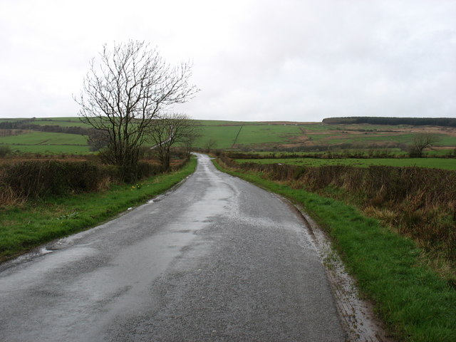
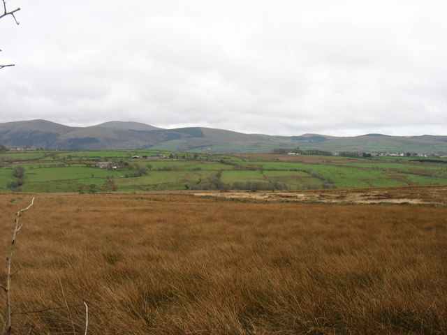
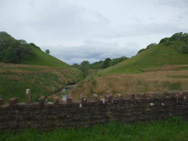
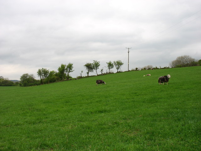
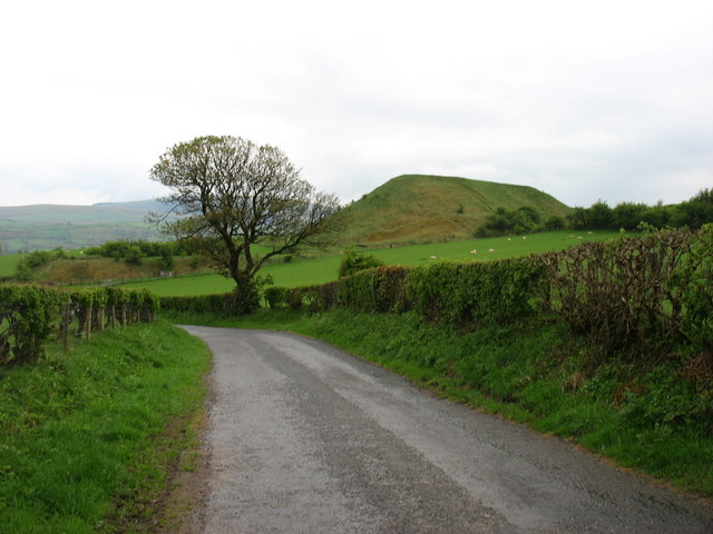
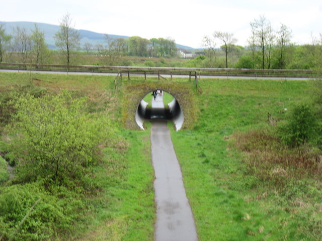
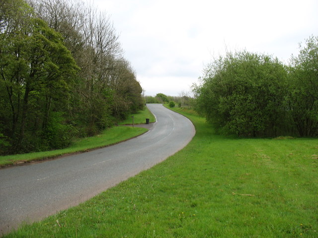
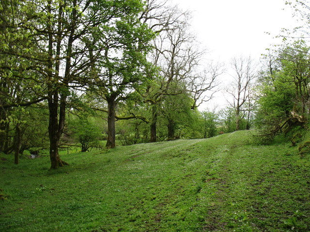
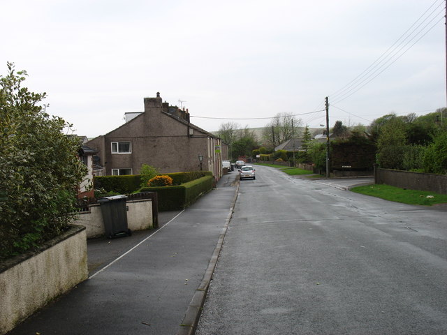
Arlecdon is a small village located in the county of Cumberland, England. Situated in the northwest region of the country, it lies approximately 7 miles southeast of the town of Whitehaven. Arlecdon is nestled in the picturesque landscape of the Lake District National Park, offering stunning natural beauty and a tranquil atmosphere.

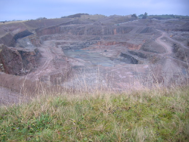
The village has a rich history dating back centuries. Originally an agricultural community, Arlecdon saw significant growth during the Industrial Revolution when coal mining became the primary industry in the area. Numerous collieries were established, and the village expanded to accommodate the growing workforce. However, with the decline of the coal industry in the mid-20th century, Arlecdon experienced a decline in population and economic activity.

Today, Arlecdon retains its rural charm, with a population of around 800 residents. The village features a mix of traditional stone-built houses, along with some newer developments. The community is close-knit, with a strong sense of local pride and community engagement.

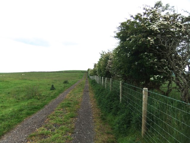
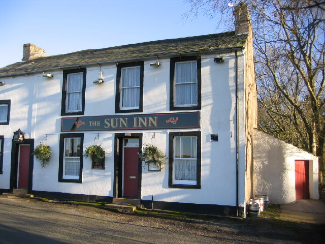
Arlecdon offers a range of amenities for its residents, including a primary school, a post office, and a local pub. The surrounding countryside provides ample opportunities for outdoor activities, such as hiking, cycling, and fishing. The village is also well-connected, with easy access to nearby towns and cities via road and public transportation.

Overall, Arlecdon is a peaceful and picturesque village, offering a close community spirit and access to the natural wonders of the Lake District National Park.

If you have any feedback on the listing, please let us know in the comments section below.
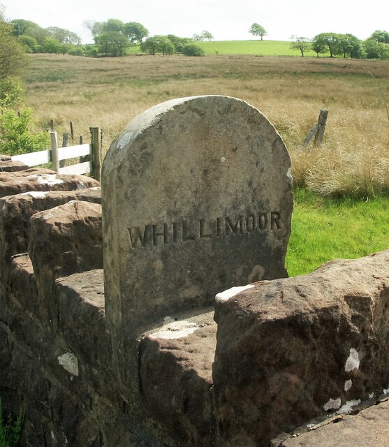
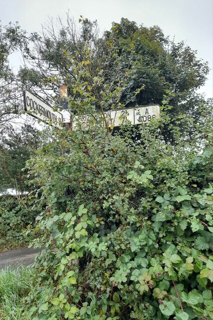
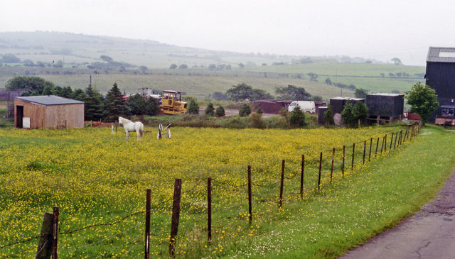
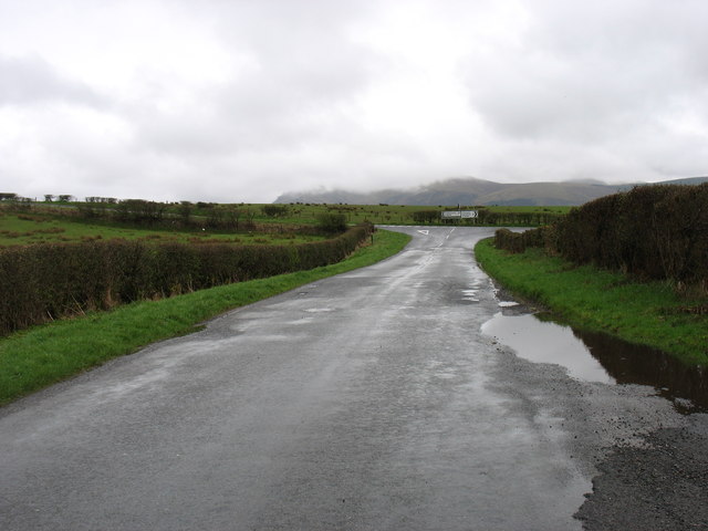
Arlecdon Images

Images are sourced within 2km of 54.556831/-3.471037 or Grid Reference NY0418. Thanks to Geograph Open Source API. All images are credited.

Old Boundary Marker on Dubbeck Bridge Township Boundary Marker set on top of the parapet of Dubbeck Bridge, Dub Beck, on the southwest side of the road east of Brownrigg. Inscribed ARLECDON and WHILLIMOOR on opposite faces. On the boundary of Arlecdon and Whillimoor townships in Arlecdon parish, now entirely in Arlecdon and Frizington parish. See also <a title="https://www.geograph.org.uk/photo/4000552" href="https://www.geograph.org.uk/photo/4000552">Link</a> , <a title="https://www.geograph.org.uk/photo/4000502" href="https://www.geograph.org.uk/photo/4000502">Link</a> and <a title="https://www.geograph.org.uk/photo/4000486" href="https://www.geograph.org.uk/photo/4000486">Link</a>.

Milestone Society National ID: CU_ARLFRI02pb
Old Boundary Marker on Dubbeck Bridge
Township Boundary Marker set on top of the parapet of Dubbeck Bridge, Dub Beck, on the southwest side of the road east of Brownrigg. Inscribed ARLECDON and WHILLIMOOR on opposite faces. On the boundary of Arlecdon and Whillimoor townships in Arlecdon parish, now entirely in Arlecdon and Frizington parish. See also Link , Link and Link. Milestone Society National ID: CU_ARLFRI02pb
Direction Sign – Signpost on the A5086 near Lamplugh Located east of Rowrah on the southwest side of the junction between the A5086 and a minor road to Salter Hall. Lamplugh parish. 2 arms but missing finial.

Milestone Society National ID: CU_NY0618
Direction Sign – Signpost on the A5086 near Lamplugh
Located east of Rowrah on the southwest side of the junction between the A5086 and a minor road to Salter Hall. Lamplugh parish. 2 arms but missing finial. Milestone Society National ID: CU_NY0618
Site of Arlecdon station View south towards Winder Brow. Until closed finally from 7/8/38 - to passengers on 1/1/27, the branch from Distington (to the left) of the former Cleator & Workington Junction Railway had run to Rowrah (to the right). The Pullman car now used at the Hound Inn, Arlecdon  as a restaurant must have been brought by road!
Site of Arlecdon station
View south towards Winder Brow. Until closed finally from 7/8/38 - to passengers on 1/1/27, the branch from Distington (to the left) of the former Cleator & Workington Junction Railway had run to Rowrah (to the right). The Pullman car now used at the Hound Inn, Arlecdon as a restaurant must have been brought by road!
Approaching the A5086 The hill in the distance is Grike, south-west of Ennerdale Water.
Approaching the A5086
The hill in the distance is Grike, south-west of Ennerdale Water.
The minor road from Arlecdon to Whitehaven
Farmland near Arlecdon The hills south of Ennerdale Water are on the skyline.
Farmland near Arlecdon
The hills south of Ennerdale Water are on the skyline.
Embankments but no viaduct A section of the Cleator and Workington Junction Railway, built c.1879. It was mainly used for coal, limestone and iron ore traffic for the local industries. Most of the line was taken up in the 1960's; bridges, viaducts & even parts of the trackbed are now lost to history, but some parts of the old network are now cycle ways & footpaths.
Embankments but no viaduct
A section of the Cleator and Workington Junction Railway, built c.1879. It was mainly used for coal, limestone and iron ore traffic for the local industries. Most of the line was taken up in the 1960's; bridges, viaducts & even parts of the trackbed are now lost to history, but some parts of the old network are now cycle ways & footpaths.
Farmland near Kirkland School
Minor road from Kirkland to Cleator Moor The 'hill' is a spoil tip, not a natural feature.
Minor road from Kirkland to Cleator Moor
The 'hill' is a spoil tip, not a natural feature.
Cycle track at Winder The cycle track is on the line of a disused railway. The overbridge carries a fairly new (ca. 2000) private access road to the Eskett Quarries, which relieved Winder itself of the heavy traffic.
Cycle track at Winder
The cycle track is on the line of a disused railway. The overbridge carries a fairly new (ca. 2000) private access road to the Eskett Quarries, which relieved Winder itself of the heavy traffic.
The road to Eskett Quarries This private road was built, I think about 15 years ago, to relieve the village of Winder from heavy quarry traffic.
The road to Eskett Quarries
This private road was built, I think about 15 years ago, to relieve the village of Winder from heavy quarry traffic.
Woodland near Winder Pleasant country on the footpath to Rowrah. If, of course, you can ignore the activity in the quarry behind you!
Woodland near Winder
Pleasant country on the footpath to Rowrah. If, of course, you can ignore the activity in the quarry behind you!
Arlecdon village I am afraid that the Sun Inn, shown in <a href="https://www.geograph.org.uk/photo/79457">NY0419 : Public House on the edge of Arlecdon</a>, has long since closed.
Arlecdon village
I am afraid that the Sun Inn, shown in NY0419 : Public House on the edge of Arlecdon, has long since closed.
St Michael's church, Arlecdon
St Michael's church entrance parapet This feels more like a castle wall than the entrance to a church! But there is a steep drop ahead, and so one can see the need to keep the parishioners from a premature meeting with their Maker.
St Michael's church entrance parapet
This feels more like a castle wall than the entrance to a church! But there is a steep drop ahead, and so one can see the need to keep the parishioners from a premature meeting with their Maker.
St Michael's church sign St Michael's church stands between Arlecdon and Asby. I have not yet established the origin of the name "Crosslacon": it does not appear on any map that I have seen.
St Michael's church sign
St Michael's church stands between Arlecdon and Asby. I have not yet established the origin of the name "Crosslacon": it does not appear on any map that I have seen.
Rowrah Karting Track A racer on a rain soaked Rowrah Kart Club track
Rowrah Karting Track
A racer on a rain soaked Rowrah Kart Club track
Track to High Leys
Track to High Leys
Show me another place!

Arlecdon is located at Grid Ref: NY0418 (Lat: 54.556831, Lng: -3.471037)

Administrative County: Cumbria

District: Copeland

Police Authority: Cumbria

What 3 Words

///fires.enthused.tricycle. Near Frizington, Cumbria

Nearby Locations

Arlecdon

Related Wikis

Frizington

Frizington is a village in Cumbria, England, historically part of Cumberland, near the Lake District National Park. Historically, it was a collection of...

Arlecdon and Frizington

Arlecdon and Frizington is a civil parish in the Borough of Copeland in Cumbria, England. The parish had a population of 3,678 in the 2001 census, decreasing...

Arlecdon railway station

Arlecdon railway station served the village of Arlecdon in the former English county of Cumberland, now part of Cumbria. == Location == The station was...

Rowrah

Rowrah is a village in Cumbria, England, and spans the civil parishes of Arlecdon and Frizington and Lamplugh. The majority of Rowrah is within Arlecdon...

Winder railway station

Winder railway station was built by the Whitehaven, Cleator and Egremont Railway. It served the village of Winder, Frizington, Cumbria, England. ��2�...
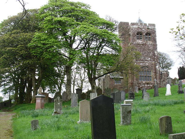
Arlecdon

Arlecdon is a village in the Borough of Copeland in Cumbria, England, near the town of Whitehaven. == Church == St Michael's Parish church is an historic...

Rowrah railway station

Rowrah railway station was built by the Whitehaven, Cleator and Egremont Railway. It served the village of Rowrah, Cumbria, England. == Local lines... ==

Eskett

Eskett is a hamlet in Cumbria, England. Geologically it is known for its limestone formation. == References == == External links == Cumbria County History...

Nearby Amenities

Located within 500m of 54.556831,-3.471037
Arlecdon
Place: village
Source: npe
Lat/Long: 54.5596464/-3.4724948
School (S bound)
Naptan AtcoCode: 090050010052
Naptan Bearing: S
Naptan BusStopType: CUS
Naptan CommonName: School (S bound)
Naptan Indicator: o/s
Naptan Landmark: no. 71 next to Arlecdon school
Naptan NaptanCode: cumatjtg
Naptan Street: No name
Naptan Verified: no
Source: naptan_import
Lat/Long: 54.5551961/-3.47042
School (N bound)
Naptan AtcoCode: 090050010359
Naptan Bearing: N
Naptan BusStopType: CUS
Naptan CommonName: School (N bound)
Naptan Indicator: opp
Naptan Landmark: Arlecdon School
Naptan NaptanCode: cumatjwt
Naptan Street: No name
Naptan Verified: no
Source: naptan_import
Lat/Long: 54.5552206/-3.470622
Bus Stop
Park Road (W bound)
Naptan AtcoCode: 090050012020
Naptan Bearing: W
Naptan CommonName: Park Road (W bound)
Naptan Indicator: opp
Naptan Landmark: no. 36
Naptan NaptanCode: cumatmaj
Naptan Street: Arlecdon Park Road
Naptan Verified: no
Source: naptan_import
Lat/Long: 54.5542682/-3.4676342
Bus Stop
Park Road (E bound)
Naptan AtcoCode: 090050012551
Naptan Bearing: E
Naptan CommonName: Park Road (E bound)
Naptan Indicator: o/s
Naptan Landmark: no. 42
Naptan NaptanCode: cumatmap
Naptan Street: Arlecdon Park Road
Naptan Verified: no
Source: naptan_import
Lat/Long: 54.5543459/-3.4671576
Post Office
Arlecdon Post Office
Addr City: Frizington
Addr Country: GB
Addr Housenumber: 52
Addr Postcode: CA26 3XA
Addr Street: Arlecdon Road
Addr Village: Arlecdon
Branch: Arlecdon
Brand: Post Office
Brand Wikidata: Q1783168
Check Date: 2022-05-27
Check Date Opening Hours: 2022-05-27
Contact Website: https://www.postoffice.co.uk/branch-finder/2744104/arlecdon
Opening Hours: Mo-Fr 08:30-17:30; Sa 08:30-12:00
Ref Pol Id: 10959
Lat/Long: 54.5564564/-3.4705874
Post Box
Ref: CA26 85
Lat/Long: 54.556475/-3.4706626
Arlecdon
Abandoned Railway: station
Railway: site
Wikidata: Q4792107
Wikipedia: en:Arlecdon railway station
Lat/Long: 54.553669/-3.4715846
Power: pole
Lat/Long: 54.5544351/-3.4651149
Power: pole
Lat/Long: 54.5549403/-3.4641284
Power: pole
Lat/Long: 54.5592002/-3.4771392
Power: pole
Lat/Long: 54.5585001/-3.476647
Power: pole
Lat/Long: 54.5579504/-3.4775342
Power: pole
Lat/Long: 54.5572808/-3.4786402
Power: pole
Lat/Long: 54.5553144/-3.4696787
Power: pole
Lat/Long: 54.5548434/-3.4688138
The data included in this document is from www.openstreetmap.org. The data is made available under ODbL.

Have you been to Arlecdon?

Leave your review of Arlecdon below (or comments, questions and feedback).