West Belt
Wood, Forest in Gloucestershire Cotswold
England
West Belt
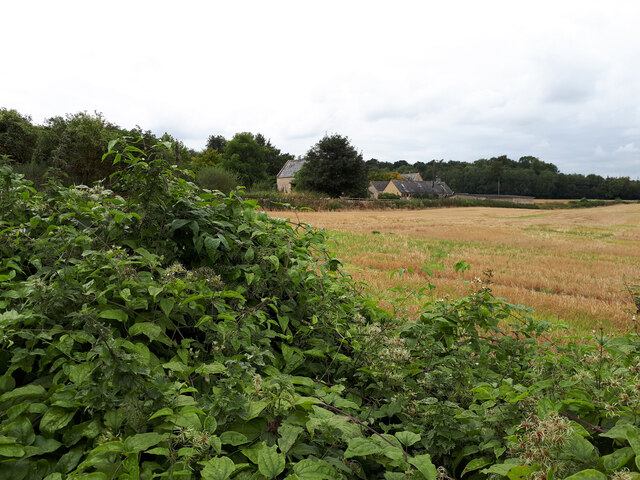
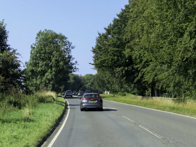
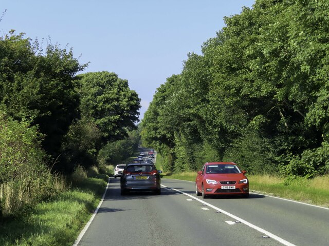
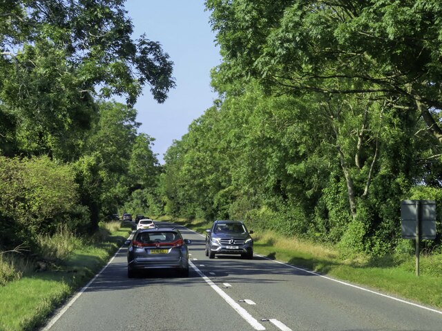
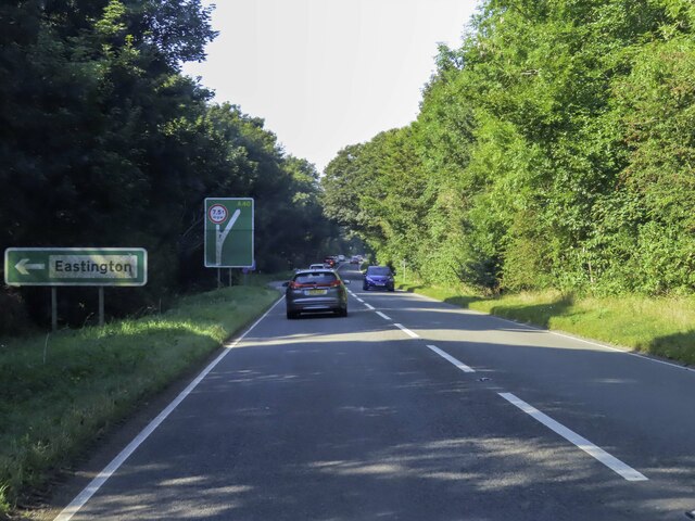
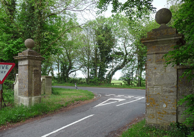
West Belt, Gloucestershire is a picturesque woodland area located in the southwestern part of the county. Covering an area of approximately 300 acres, West Belt is a part of the larger Forest of Dean, renowned for its natural beauty and rich biodiversity. The forest is primarily composed of deciduous trees, including oak, beech, and ash, which create a stunning canopy of greenery during the summer months.
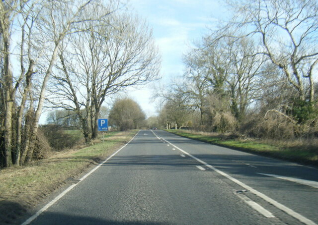
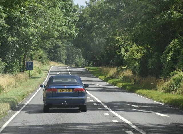
The woodlands are crisscrossed by a network of walking trails and paths, making it a popular destination for nature enthusiasts, hikers, and birdwatchers. The diverse flora and fauna found in West Belt include several rare and protected species, such as the lesser horseshoe bat and the pearl-bordered fritillary butterfly. This makes it an important conservation area and contributes to its designation as a Site of Special Scientific Interest (SSSI).
The forest is also home to a variety of wildlife, including deer, badgers, and foxes, which can often be spotted during walks or hikes. The tranquil atmosphere of West Belt provides visitors with an opportunity to immerse themselves in nature and enjoy the peaceful surroundings.
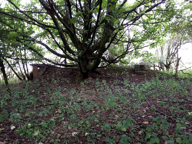
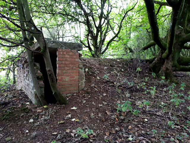
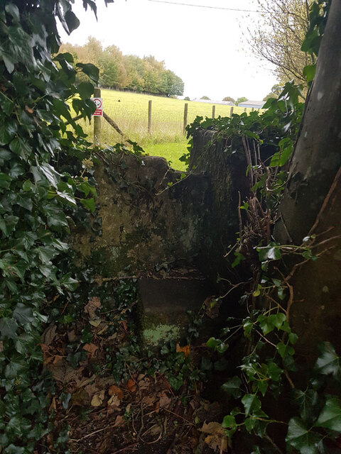
In addition to its natural beauty, West Belt has historical significance, dating back to ancient times. There are remnants of iron mines and quarries, reminding visitors of the area's industrial past. The forest is also dotted with archaeological sites, including Roman ruins and medieval settlements.
Overall, West Belt, Gloucestershire offers a captivating blend of natural splendor, recreational opportunities, and historical significance, making it a must-visit destination for those seeking to connect with nature and explore the region's heritage.
If you have any feedback on the listing, please let us know in the comments section below.
West Belt Images
Images are sourced within 2km of 51.822962/-1.7723077 or Grid Reference SP1513. Thanks to Geograph Open Source API. All images are credited.
West Belt is located at Grid Ref: SP1513 (Lat: 51.822962, Lng: -1.7723077)
Administrative County: Gloucestershire
District: Cotswold
Police Authority: Gloucestershire
What 3 Words
///sized.uniforms.excellent. Near Northleach, Gloucestershire
Nearby Locations
Related Wikis

Sherborne House, Gloucestershire
Sherborne House is a large house in the village of Sherborne, Gloucestershire, England. It is a former country house that has been converted into flats...

Lodge Park and Sherborne Estate
Lodge Park was built as a grandstand in the Sherborne Estate near the villages of Sherborne, Aldsworth and Northleach in Gloucestershire, England. The...

Sherborne, Gloucestershire
Sherborne is a village and civil parish almost 3.5 miles (5.6 km) east of Northleach in Gloucestershire. Sherborne is a linear village, extending more...

Church of St Peter, Farmington
The Anglican Church of St Peter at Farmington in the Cotswold District of Gloucestershire, England was built in the 12th century. It is a grade I listed...
Farmington, Gloucestershire
Farmington is a village located in the county of Gloucestershire, in England. As of 2011 the village had 112 residents. It is mentioned in the Domesday...

Eastington, Cotswold
Eastington is a hamlet and former civil parish, now in the parish of Northleach with Eastington, in the Cotswold district, in the English county of Gloucestershire...

RAF Windrush
Royal Air Force Windrush, or more simply RAF Windrush, is a former Royal Air Force satellite station near Windrush, Gloucestershire, England. It was opened...

Windrush, Gloucestershire
Windrush is a village and civil parish in Gloucestershire, England, approximately five miles southeast of Northleach. It lies in the Cotswolds on the River...
Nearby Amenities
Located within 500m of 51.822962,-1.7723077Have you been to West Belt?
Leave your review of West Belt below (or comments, questions and feedback).