Bellhagg Wood

Wood, Forest in Derbyshire High Peak

England

Bellhagg Wood

The bottom of Hollin Clough Where it enters Upper Derwent Reservoir.
The bottom of Hollin Clough Credit: Bill Boaden

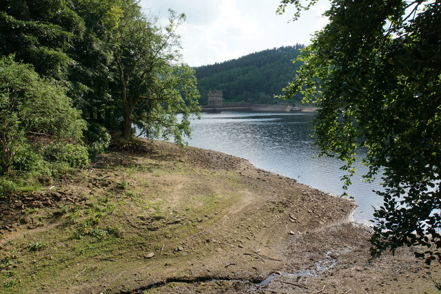
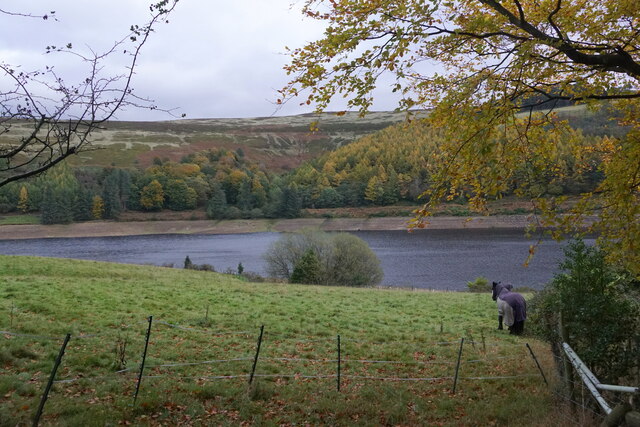
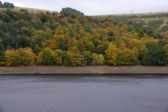
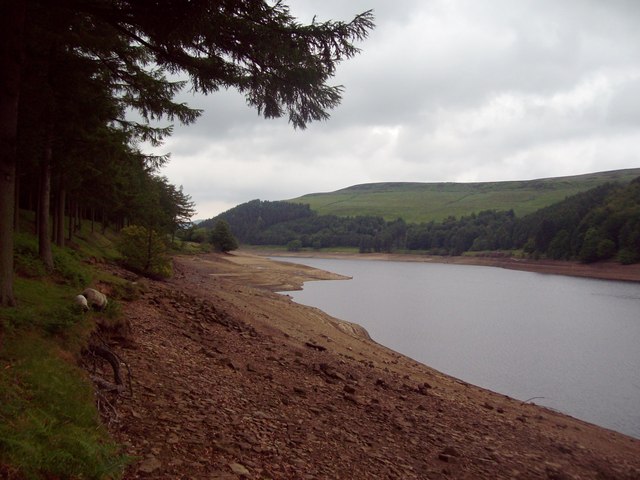
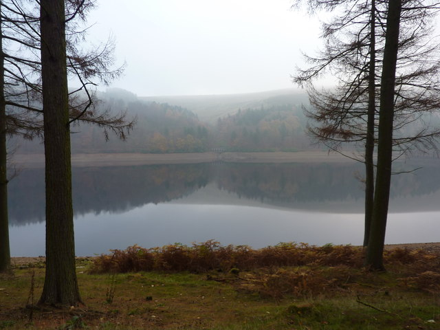
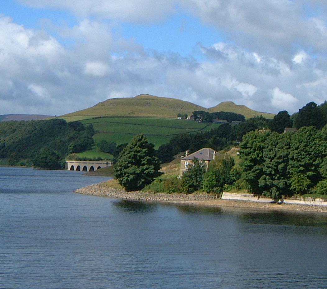
Bellhagg Wood is a picturesque woodland located in Derbyshire, England. Situated in the heart of the Peak District National Park, this enchanting forest covers an area of approximately 70 acres and is a popular destination for nature lovers and outdoor enthusiasts.

The wood is predominantly composed of broadleaf trees, including oak, birch, and beech, which create a vibrant and diverse ecosystem. The dense canopy of foliage provides a haven for a wide variety of wildlife, such as deer, foxes, badgers, and a plethora of bird species, making it a haven for birdwatchers.

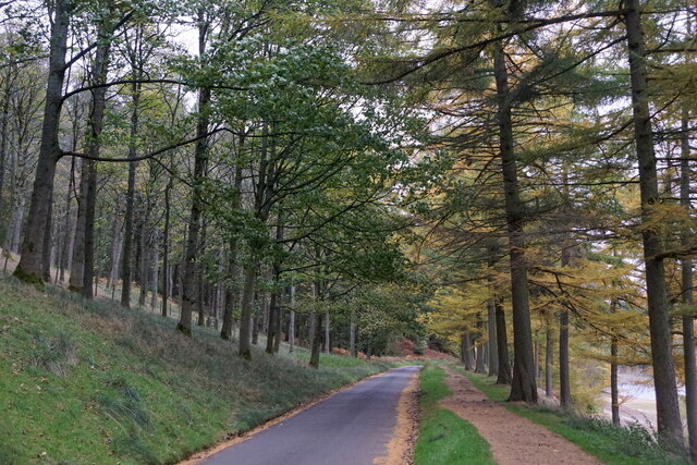
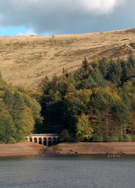
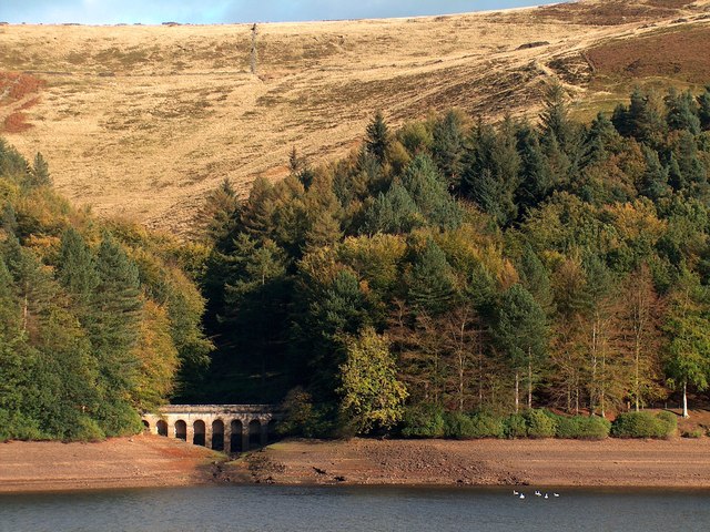
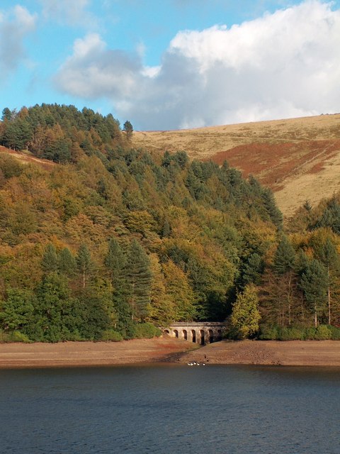
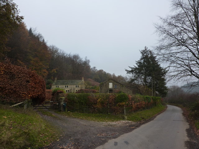
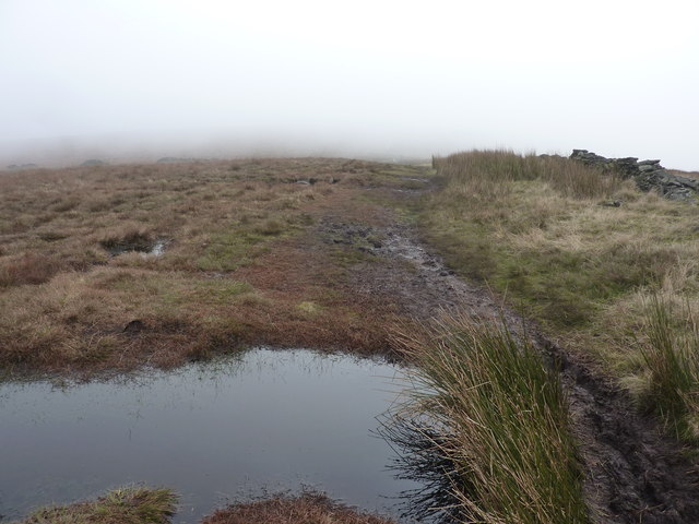
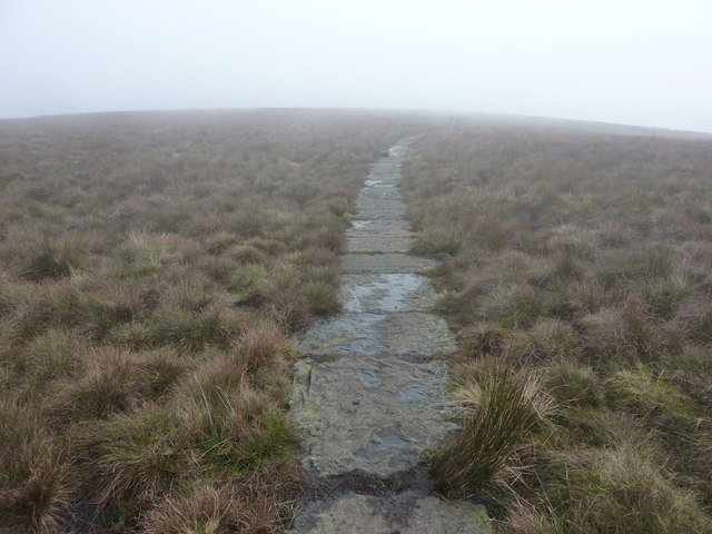
The woodland is crisscrossed by a network of well-maintained footpaths, allowing visitors to explore its natural wonders at their own pace. These pathways lead to hidden gems within the forest, such as secluded glades, babbling brooks, and charming ponds. As visitors venture deeper into the wood, they will discover the tranquility and beauty that Bellhagg Wood has to offer.

Aside from its natural beauty, Bellhagg Wood also has historical significance. The wood was once used for timber production and played a vital role in the local economy. Today, remnants of this past can still be seen in the form of old sawpits and abandoned charcoal hearths, adding a touch of nostalgia to the woodland experience.

Bellhagg Wood is a true gem of Derbyshire, offering visitors a chance to immerse themselves in nature and escape the hustle and bustle of everyday life. With its breathtaking scenery, diverse wildlife, and rich history, it is no wonder that this woodland remains a beloved destination for locals and tourists alike.

If you have any feedback on the listing, please let us know in the comments section below.

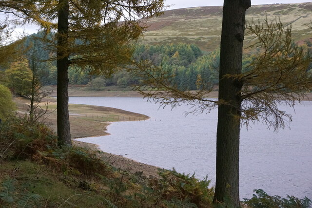
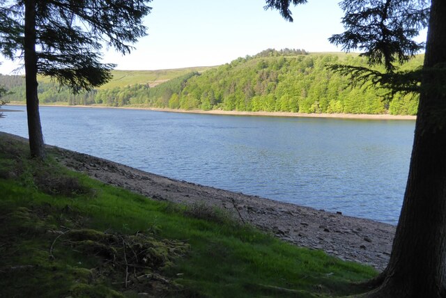
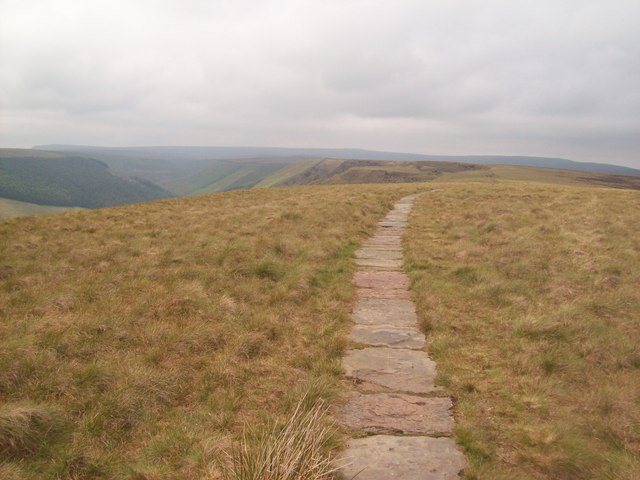
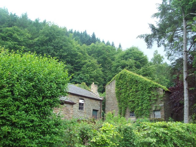
Bellhagg Wood Images

Images are sourced within 2km of 53.399349/-1.7640057 or Grid Reference SK1589. Thanks to Geograph Open Source API. All images are credited.

The bottom of Hollin Clough Where it enters Upper Derwent Reservoir.
The bottom of Hollin Clough
Where it enters Upper Derwent Reservoir.
Derwent Reservoir from Gores Farm
Hancock Plantation and Derwent Reservoir
Road beside Derwent Reservoir
Derwent Reservoir
Derwent Reservoir
Derwent Reservoir Derwent Reservoir pictured just above the dam.
Derwent Reservoir
Derwent Reservoir pictured just above the dam.
Rowlee Pasture The pair of walkers in the distance are just exiting this gridsquare while the Ashop valley sinks away to the right of shot.
Rowlee Pasture
The pair of walkers in the distance are just exiting this gridsquare while the Ashop valley sinks away to the right of shot.
Paved Footpath over Rowlee Pasture Footpath close to the high point of this area with the gaping Alport valley visible on the left of picture.
Paved Footpath over Rowlee Pasture
Footpath close to the high point of this area with the gaping Alport valley visible on the left of picture.
Dropping into Ouzelden Clough Coniferous woodland in the sheltered valley of Ouzelden Clough with bracken and heather moorland covering the higher slopes.
Dropping into Ouzelden Clough
Coniferous woodland in the sheltered valley of Ouzelden Clough with bracken and heather moorland covering the higher slopes.
Outbuildings at Gores Farm Outbuildings set back from the road near the Upper Derwent reservoir.
Outbuildings at Gores Farm
Outbuildings set back from the road near the Upper Derwent reservoir.
The Upper Derwent Reservoir at Low Level Sheep grazing near the reservoir's edge. The Hancock plantation can be seen on the opposite bank.
The Upper Derwent Reservoir at Low Level
Sheep grazing near the reservoir's edge. The Hancock plantation can be seen on the opposite bank.
View across Ladybower Reservoir to Hollin Clough
Hollin Clough Bridge in October
Looking across Upper Derwent Reservoir to Hollin Clough
Reflections in Derwent Reservoir
Gores Farm, Upper Derwent Valley By the shore of the Derwent Reservoir.
Gores Farm, Upper Derwent Valley
By the shore of the Derwent Reservoir.
Path in the fog, Birchinlee Pasture The path leads away from Alport Castles, across Rowlee Pasture.
Path in the fog, Birchinlee Pasture
The path leads away from Alport Castles, across Rowlee Pasture.
Stone slab path Across very boggy ground, on Rowlee Pasture, heading south east towards Pasture Tor.
Stone slab path
Across very boggy ground, on Rowlee Pasture, heading south east towards Pasture Tor.
Show me another place!

Bellhagg Wood is located at Grid Ref: SK1589 (Lat: 53.399349, Lng: -1.7640057)

Administrative County: Derbyshire

District: High Peak

Police Authority: Derbyshire

What 3 Words

///segmented.star.exact. Near Hope Valley, Derbyshire

Related Wikis

River Alport

The River Alport flows for 5.6 miles (9 km) in the Dark Peak of the Peak District in Derbyshire, England. Its source is on Bleaklow, 3 miles (4.8 km)...

Hope Woodlands

Hope Woodlands is an extensive civil parish in the High Peak district of Derbyshire in England. The parish covers the Woodlands Valley, the western Upper...

Derwent Reservoir (Derbyshire)

Derwent Reservoir is the middle of three reservoirs in the Upper Derwent Valley in the north of Derbyshire, England. It lies approximately 10 mi (16 km...

Dark Peak

The Dark Peak is the higher and wilder part of the Peak District in England, mostly forming the northern section but also extending south into its eastern...

Derwent Woodlands War Memorial

Derwent Woodlands War Memorial is a 20th-century grade II listed war memorial near the Ladybower Reservoir, Derbyshire. == History == The war memorial...

Alport Castles

The Alport Castles are a landslip feature in the Peak District National Park in Derbyshire. At over half a mile long, it is thought to be the largest landslide...

Crook Hill

Crook Hill is a small hill in the Peak District National Park in the English county of Derbyshire, 5 kilometres (3.1 mi) northeast of Castleton. ��2�...

Ladybower Reservoir

Ladybower Reservoir is a large Y-shaped, artificial reservoir, the lowest of three in the Upper Derwent Valley in Derbyshire, England. The River Ashop...

Nearby Amenities

Located within 500m of 53.399349,-1.7640057
Barrier: stile
Step Count: 2
Stile: stepover
Lat/Long: 53.4017769/-1.7648746
Hagg Farm Outdoor Centre
Place: farm
Source: Bing
Lat/Long: 53.3964425/-1.7600277
Bellhagg Barn
Place: farm
Lat/Long: 53.3995608/-1.7611817
Bellhagg Bungalow
Place: isolated_dwelling
Lat/Long: 53.3982469/-1.7661597
Humphrey
Place: isolated_dwelling
Lat/Long: 53.4012375/-1.7697545
Pasture Top
Place: locality
Lat/Long: 53.4032611/-1.7645044
Rowlee Farm
Place: farm
Lat/Long: 53.4008089/-1.7705737
Bellhagg Farm
Historic Place: farm
Lat/Long: 53.3965587/-1.7636817
Parking
Access: private
Parking: surface
Lat/Long: 53.3963203/-1.7600334
Generator Method: photovoltaic
Generator Output Electricity: yes
Generator Source: solar
Generator Type: solar_photovoltaic_panel
Power: generator
Lat/Long: 53.3963837/-1.7602933
Generator Method: photovoltaic
Generator Output Electricity: yes
Generator Source: solar
Generator Type: solar_photovoltaic_panel
Power: generator
Lat/Long: 53.3964251/-1.759939
Generator Method: photovoltaic
Generator Output Electricity: yes
Generator Source: solar
Generator Type: solar_photovoltaic_panel
Power: generator
Lat/Long: 53.3961816/-1.7603811
Generator Method: photovoltaic
Generator Output Electricity: yes
Generator Source: solar
Generator Type: solar_photovoltaic_panel
Power: generator
Lat/Long: 53.3961339/-1.7602733
Generator Method: photovoltaic
Generator Output Electricity: yes
Generator Source: solar
Generator Type: solar_photovoltaic_panel
Power: generator
Lat/Long: 53.3964021/-1.7604119
Barrier: stile
Material: wood
Step Count: 3
Stile: ladder
Lat/Long: 53.3990425/-1.7567478
Track
Bicycle: designated
Designation: public_bridleway
Foot: designated
Horse: designated
Motor Vehicle: no
Mtb Scale: 0
Mtb Scale Uphill: 3
Prow Ref: Hope Woodlands BW 8
Smoothness: bad
Surface: gravel
Tracktype: grade2
Width: 3
Lat/Long: 53.3990436/-1.7591778
The data included in this document is from www.openstreetmap.org. The data is made available under ODbL.

Have you been to Bellhagg Wood?

Leave your review of Bellhagg Wood below (or comments, questions and feedback).