Scotch Strip
Wood, Forest in Gloucestershire Cotswold
England
Scotch Strip
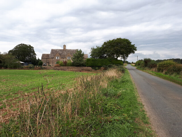
Scotch Strip is a small village located in the county of Gloucestershire, in the southwest region of England. Situated within the enchanting Forest of Dean, the village is surrounded by lush woodlands, making it an idyllic destination for nature enthusiasts and those seeking a peaceful retreat.
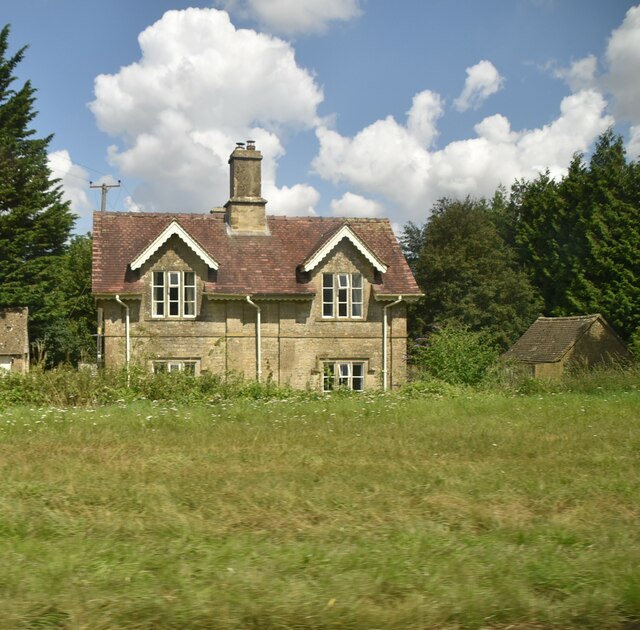
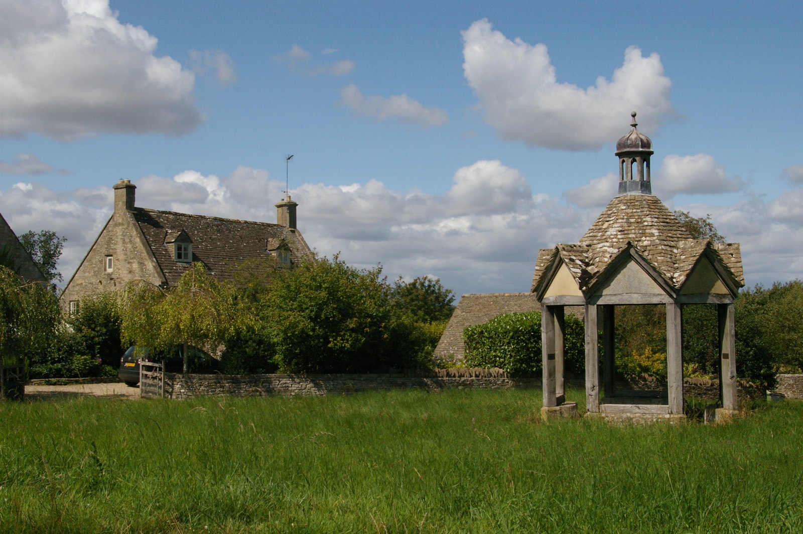
The village itself is characterized by its quaint charm and traditional architecture, with many houses built from local stone that blends seamlessly with the natural surroundings. The community is tight-knit, fostering a friendly atmosphere and a strong sense of community spirit.
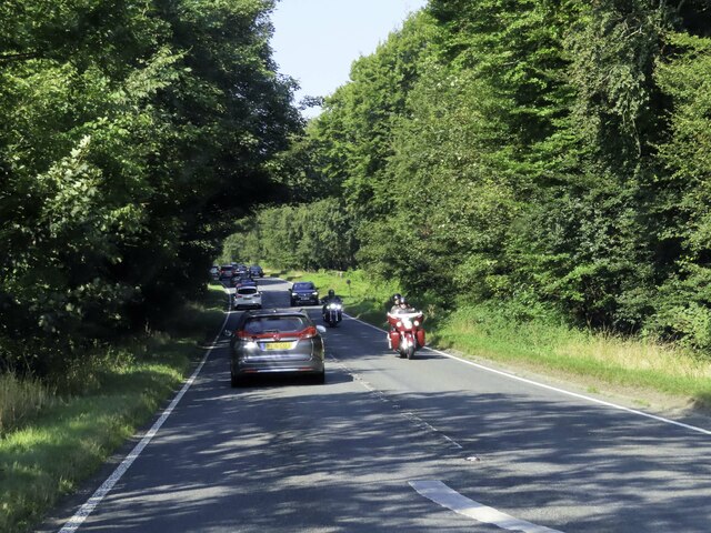
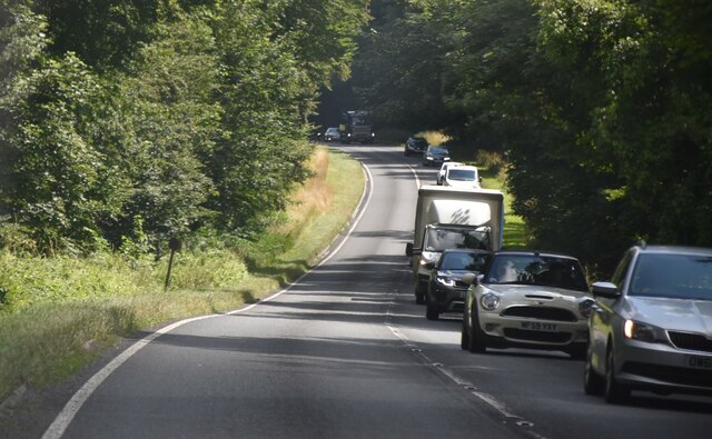
One of the main attractions in Scotch Strip is its proximity to the Forest of Dean, a vast woodland area covering over 42 square miles. This ancient forest is renowned for its diverse wildlife, including deer, wild boar, and a variety of bird species. Visitors can enjoy leisurely walks or bike rides along the numerous trails that wind through the forest, immersing themselves in the tranquil beauty of nature.
For history enthusiasts, nearby attractions include the Clearwell Caves, a series of natural caves that were once used for iron ore mining. Visitors can explore the underground passages and learn about the fascinating history of the mining industry in the region.
In terms of amenities, Scotch Strip offers a few local shops and a welcoming pub, providing basic necessities and a place to unwind after a day of exploring the surrounding natural wonders.
Overall, Scotch Strip in Gloucestershire is a hidden gem, offering a peaceful and picturesque setting within the enchanting Forest of Dean.
If you have any feedback on the listing, please let us know in the comments section below.
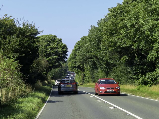
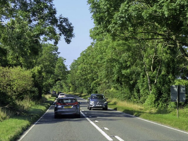
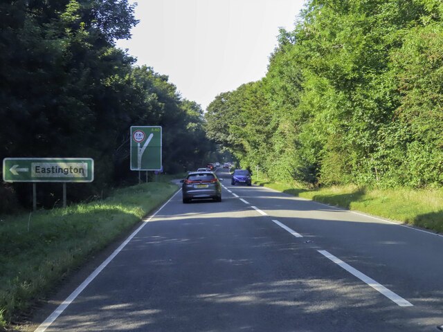
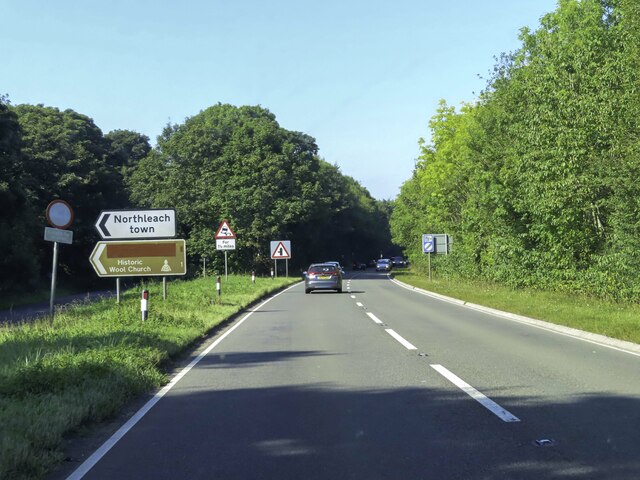
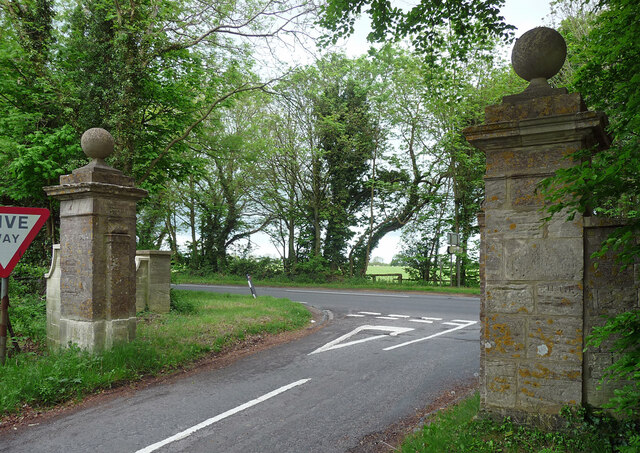
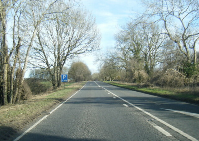
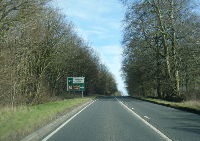
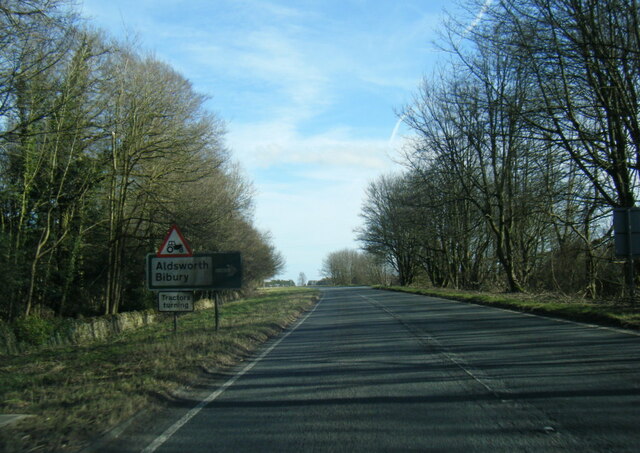
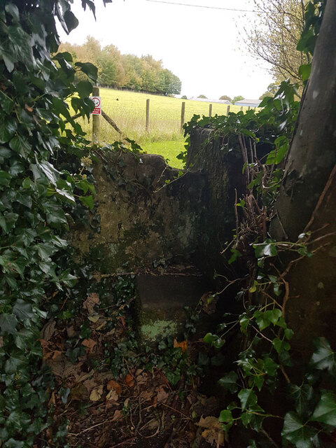
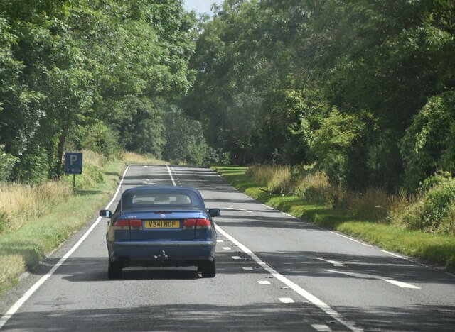
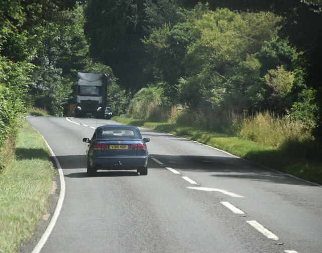
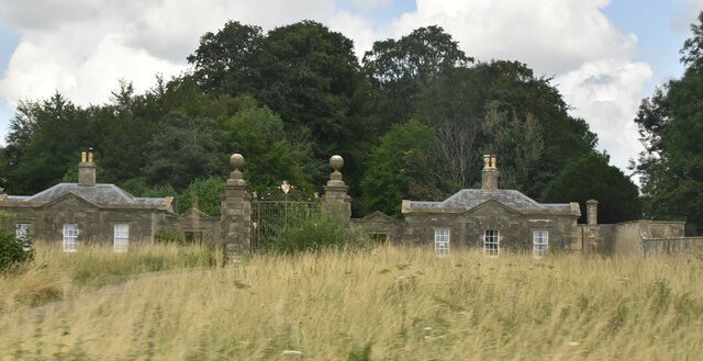
Scotch Strip Images
Images are sourced within 2km of 51.822974/-1.7783869 or Grid Reference SP1513. Thanks to Geograph Open Source API. All images are credited.
Scotch Strip is located at Grid Ref: SP1513 (Lat: 51.822974, Lng: -1.7783869)
Administrative County: Gloucestershire
District: Cotswold
Police Authority: Gloucestershire
What 3 Words
///muffin.commit.fortified. Near Northleach, Gloucestershire
Nearby Locations
Related Wikis

Lodge Park and Sherborne Estate
Lodge Park was built as a grandstand in the Sherborne Estate near the villages of Sherborne, Aldsworth and Northleach in Gloucestershire, England. The...

Sherborne House, Gloucestershire
Sherborne House is a large house in the village of Sherborne, Gloucestershire, England. It is a former country house that has been converted into flats...

Church of St Peter, Farmington
The Anglican Church of St Peter at Farmington in the Cotswold District of Gloucestershire, England was built in the 12th century. It is a grade I listed...
Farmington, Gloucestershire
Farmington is a village located in the county of Gloucestershire, in England. As of 2011 the village had 112 residents. It is mentioned in the Domesday...

Sherborne, Gloucestershire
Sherborne is a village and civil parish almost 3.5 miles (5.6 km) east of Northleach in Gloucestershire. Sherborne is a linear village, extending more...

Eastington, Cotswold
Eastington is a hamlet and former civil parish, now in the parish of Northleach with Eastington, in the Cotswold district, in the English county of Gloucestershire...
Northleach with Eastington
Northleach with Eastington is a civil parish in the English county of Gloucestershire that includes the town of Northleach and the hamlet of Eastington...

RAF Windrush
Royal Air Force Windrush, or more simply RAF Windrush, is a former Royal Air Force satellite station near Windrush, Gloucestershire, England. It was opened...
Nearby Amenities
Located within 500m of 51.822974,-1.7783869Have you been to Scotch Strip?
Leave your review of Scotch Strip below (or comments, questions and feedback).