Arkwright Town
Settlement in Derbyshire North East Derbyshire
England
Arkwright Town
Arkwright Town is a small village located in the county of Derbyshire, in the East Midlands region of England. Situated near the market town of Chesterfield, it lies within the district of North East Derbyshire. The village is named after Sir Richard Arkwright, an influential figure in the Industrial Revolution, who built the first cotton mill in the area.
Arkwright Town is known for its industrial heritage. In the 18th century, it became a center for textile production, thanks to Arkwright's invention of the water-powered spinning frame. Today, remnants of this past can still be seen, with some historic mill buildings standing as reminders of the village's industrial past.
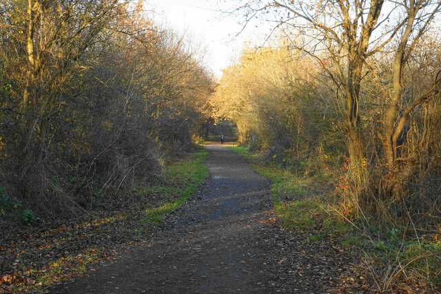
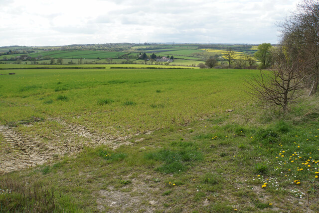
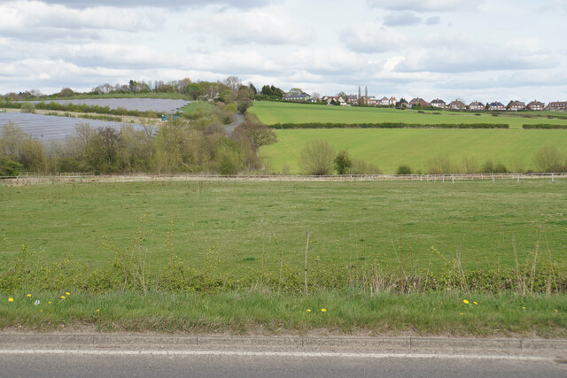
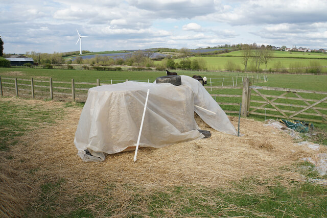
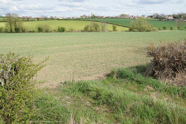
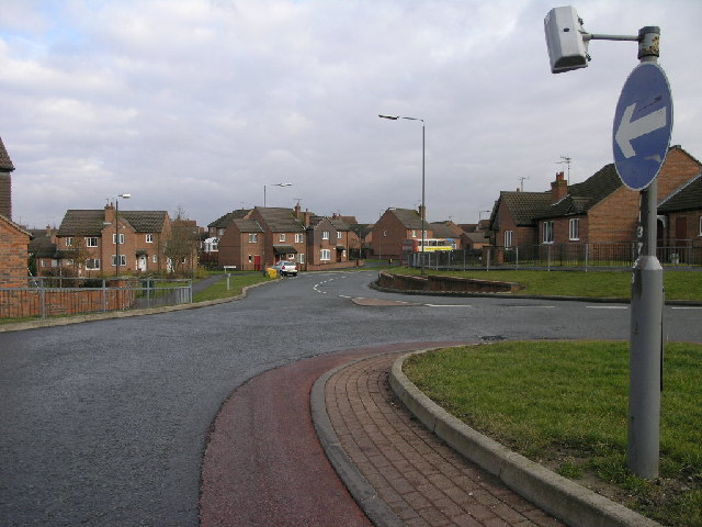
The village itself is relatively small, with a population of around 1,000 residents. It offers a peaceful and picturesque setting, surrounded by the beautiful Derbyshire countryside. The area is popular with outdoor enthusiasts, as it provides easy access to the Peak District National Park, renowned for its stunning landscapes, hiking trails, and outdoor activities.
Despite its small size, Arkwright Town has a strong sense of community. It boasts a primary school, a village hall, and a local pub, which serves as a hub for social gatherings. The village also benefits from being in close proximity to Chesterfield, where residents can find a wider range of amenities, including shops, supermarkets, and leisure facilities.
Overall, Arkwright Town offers a charming mix of rural tranquility and historical significance, making it an attractive place to live for those seeking a quieter lifestyle, with the convenience of nearby urban amenities.
If you have any feedback on the listing, please let us know in the comments section below.
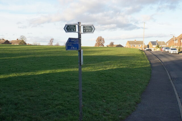
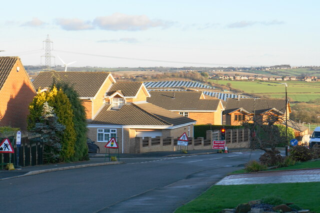
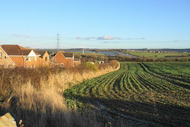
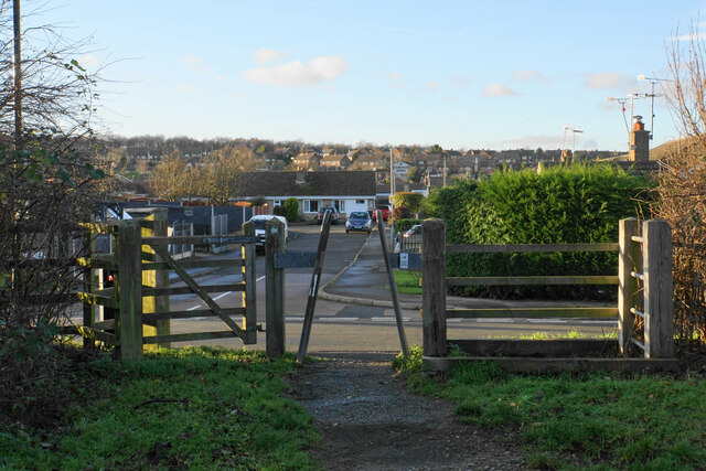
Arkwright Town Images
Images are sourced within 2km of 53.232043/-1.358022 or Grid Reference SK4270. Thanks to Geograph Open Source API. All images are credited.


Arkwright Town is located at Grid Ref: SK4270 (Lat: 53.232043, Lng: -1.358022)
Administrative County: Derbyshire
District: North East Derbyshire
Police Authority: Derbyshire
What 3 Words
///eyelash.regretted.hiker. Near Staveley, Derbyshire
Nearby Locations
Related Wikis
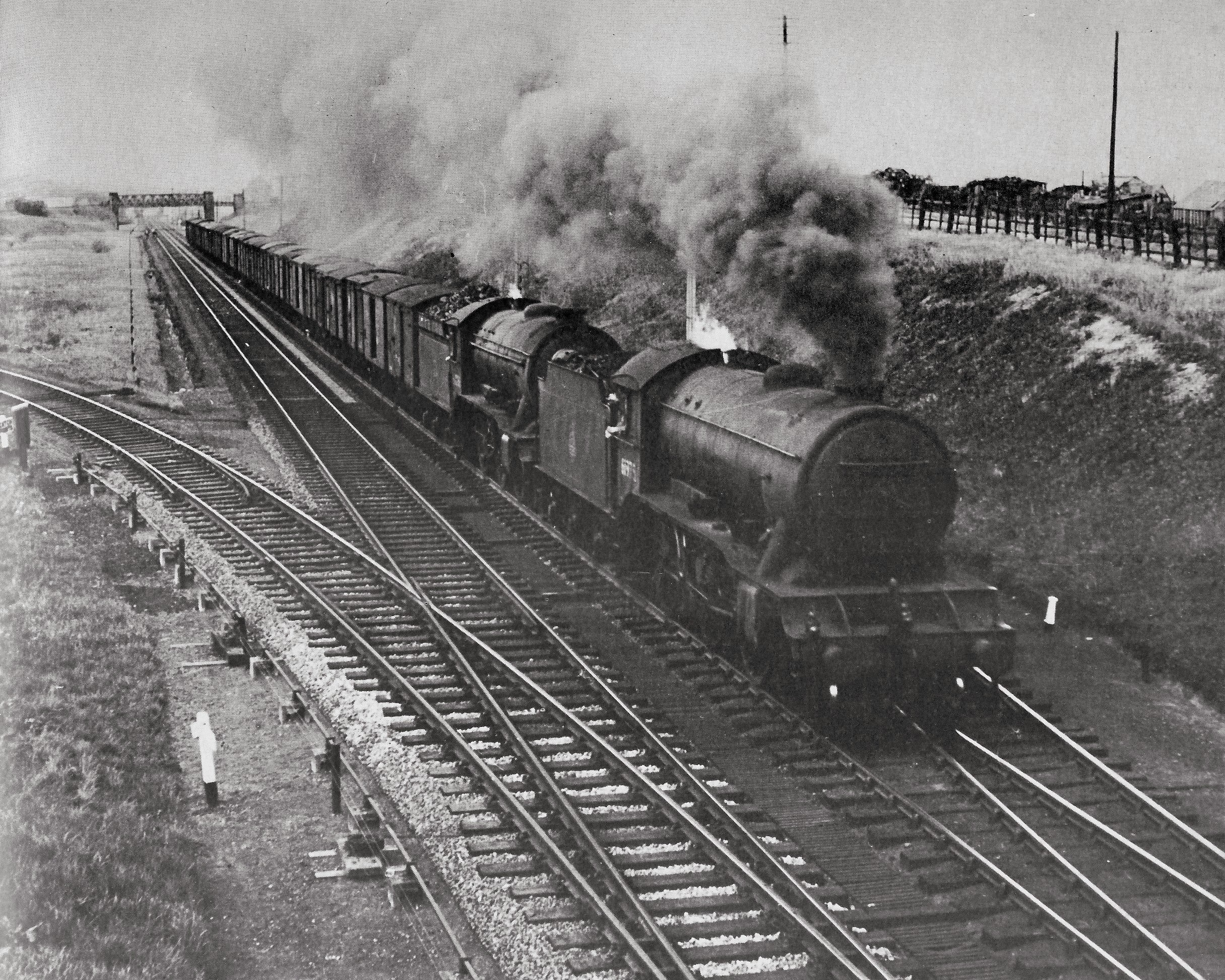
Duckmanton South Junction
Duckmanton South Junction is a former railway junction near Arkwright Town in Derbyshire, England. == Context == Duckmanton South Junction was one of four...
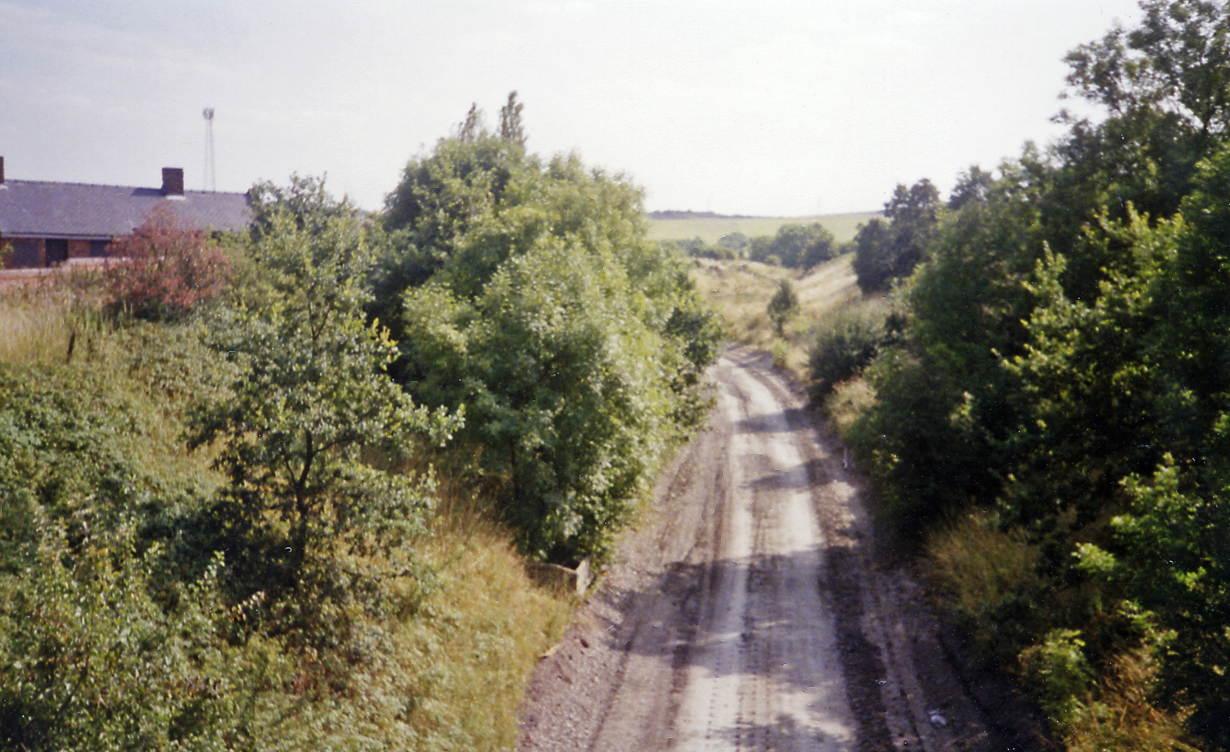
Arkwright Town railway station
Arkwright Town railway station was in Arkwright Town, Derbyshire, England. == History == The line and station were opened by the LD&ECR in March 1897....

Arkwright Town Junction
Arkwright Town Junction is a former railway junction near Arkwright Town in Derbyshire, England. == Context == Arkwright Town Junction was one of four...
Arkwright Town
Arkwright Town, usually referred to as Arkwright, is a village in Sutton cum Duckmanton, North East Derbyshire, England that is notable for being moved...
Duckmanton East Junction
Duckmanton East Junction is a former railway junction near Arkwright Town in Derbyshire, England. == Context == Duckmanton East Junction was one of four...
Duckmanton Junction
Duckmanton Junction is a former railway junction near Arkwright Town in Derbyshire, England. == Context == Duckmanton Junction (sometimes referred to as...

Duckmanton Tunnel
Duckmanton Tunnel is a former 501-yard (458-metre) long twin-track railway tunnel between Chesterfield and Arkwright Town in Derbyshire, England. ��2...
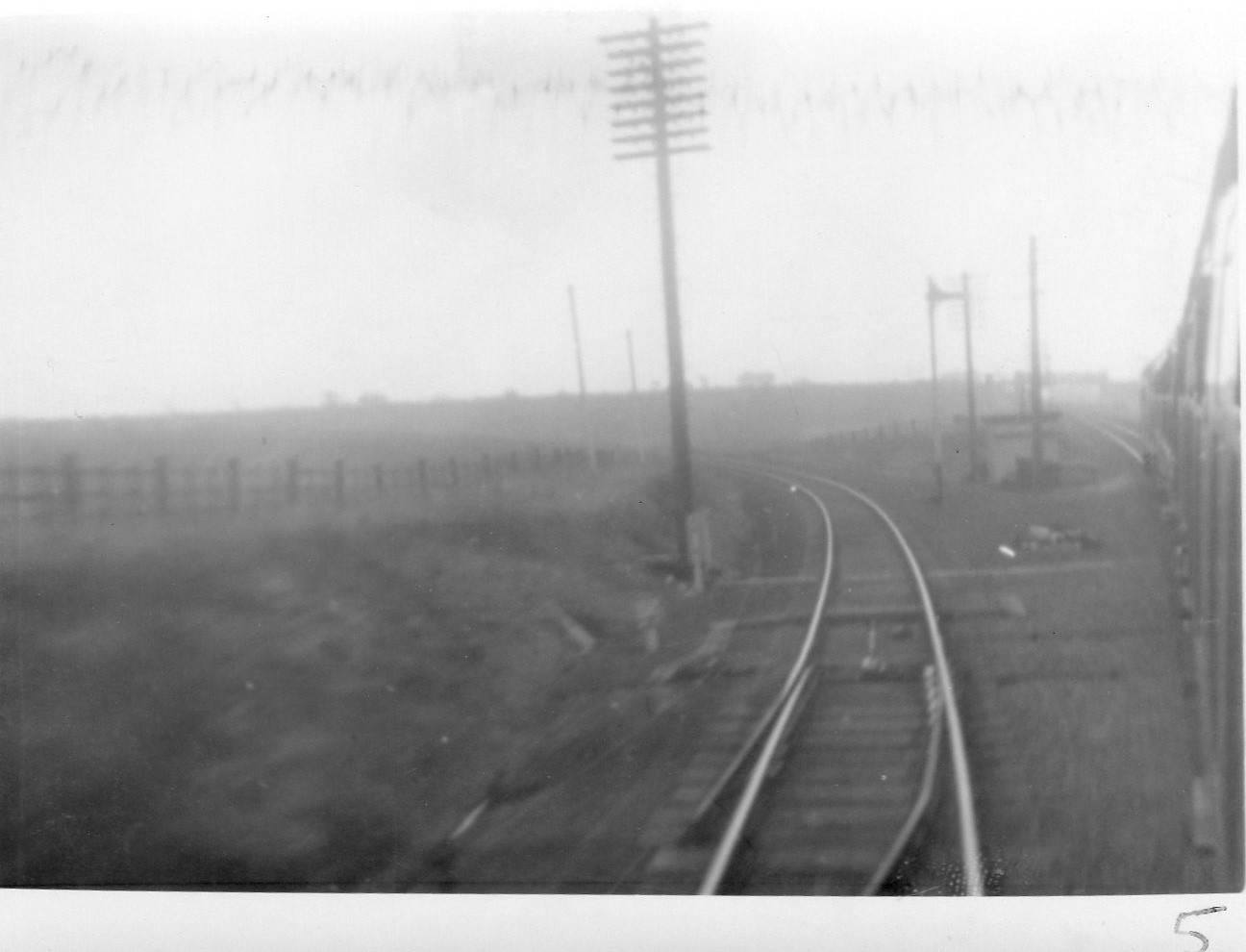
Duckmanton North Junction
Duckmanton North Junction is a former railway junction near Arkwright Town in Derbyshire, England. == Context == Duckmanton North Junction was one of four...
Nearby Amenities
Located within 500m of 53.232043,-1.358022Have you been to Arkwright Town?
Leave your review of Arkwright Town below (or comments, questions and feedback).