Arksey
Settlement in Yorkshire
England
Arksey

Arksey is a small village located in the metropolitan borough of Doncaster, South Yorkshire, England. Situated approximately 4 miles northeast of Doncaster town center, the village is nestled within the picturesque countryside, offering residents a peaceful and rural setting.
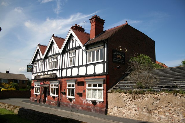
The origins of Arksey can be traced back to the medieval period when it was a farming community. Today, it retains much of its traditional charm, with historical buildings and a close-knit community atmosphere. The village features a mix of older properties, including stone-built cottages and farmhouses, as well as newer developments.
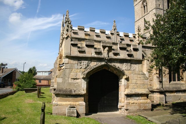
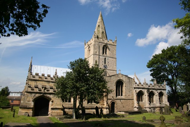
Despite its rural character, Arksey benefits from its proximity to Doncaster, which provides access to a range of amenities and services. The village has a primary school, Arksey Primary School, which serves the local community. Additionally, there are several churches, including St. John the Baptist Church, which dates back to the 12th century and is a significant architectural landmark.
The surrounding countryside offers opportunities for leisurely walks and outdoor activities, with scenic trails and nature reserves nearby. For those seeking a livelier atmosphere, Doncaster offers a variety of shopping centers, restaurants, and entertainment options.
Arksey enjoys excellent transport links, with easy access to the A1(M) motorway and the nearby Doncaster railway station, providing connections to major cities such as London and Edinburgh. The village's convenient location and rural charm make it an attractive place to live for those seeking a quieter lifestyle while still having access to urban amenities.
If you have any feedback on the listing, please let us know in the comments section below.
Arksey Images
Images are sourced within 2km of 53.554696/-1.1237 or Grid Reference SE5806. Thanks to Geograph Open Source API. All images are credited.


Arksey is located at Grid Ref: SE5806 (Lat: 53.554696, Lng: -1.1237)
Division: West Riding
Unitary Authority: Doncaster
Police Authority: South Yorkshire
What 3 Words
///fans.cherry.maple. Near Bentley, South Yorkshire
Nearby Locations
Related Wikis
Arksey
Arksey is a village in the City of Doncaster in South Yorkshire, England. It had an estimated population of 1,303 as of 2010. It was the birthplace of...
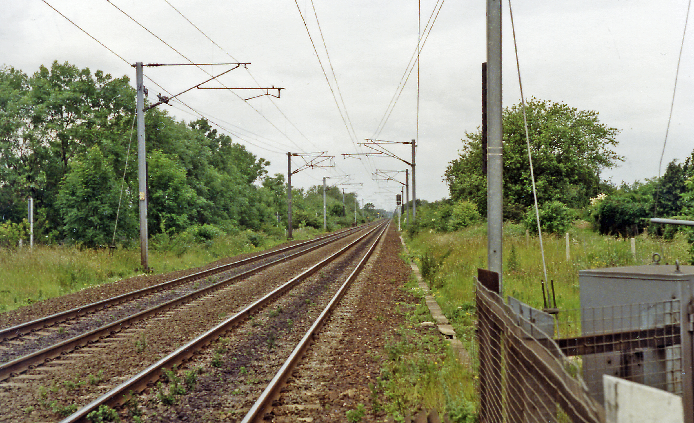
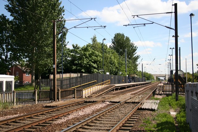
Arksey railway station
Arksey railway station, originally named Stockbridge and later Arksey and Stockbridge was a station which served the villages of Arksey and Stockbridge...

Bentley with Arksey
Bentley with Arksey is a former civil parish (1866–1974) and urban district (1911–1974) adjacent to the town of Doncaster in the West Riding of Yorkshire...
Bentley, South Yorkshire
Bentley is a suburb of Doncaster in South Yorkshire, England two miles north of the city centre. The population of the ward (also including Arksey, Shaftholme...
Nearby Amenities
Located within 500m of 53.554696,-1.1237Have you been to Arksey?
Leave your review of Arksey below (or comments, questions and feedback).