Arkley
Settlement in Hertfordshire
England
Arkley
Arkley is a small village located in the county of Hertfordshire, England. It is situated approximately 10 miles north of central London and falls within the borough of Barnet. Known for its picturesque countryside and affluent residential areas, Arkley offers a peaceful retreat from the hustle and bustle of the nearby urban areas.
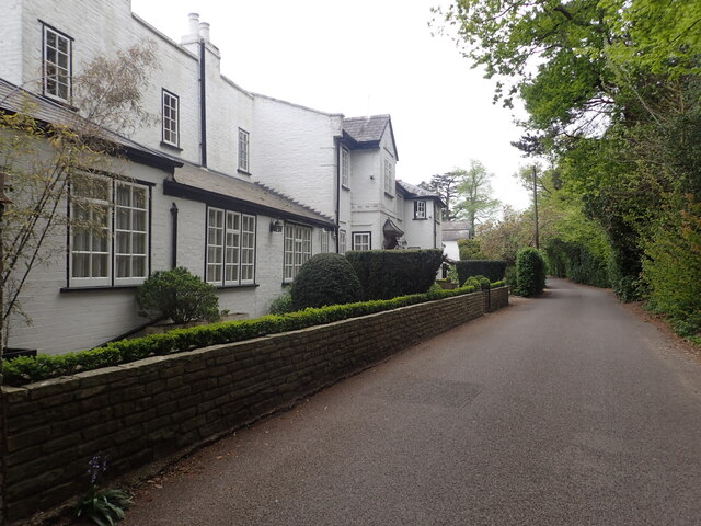
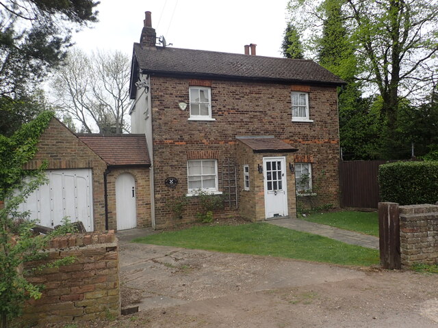
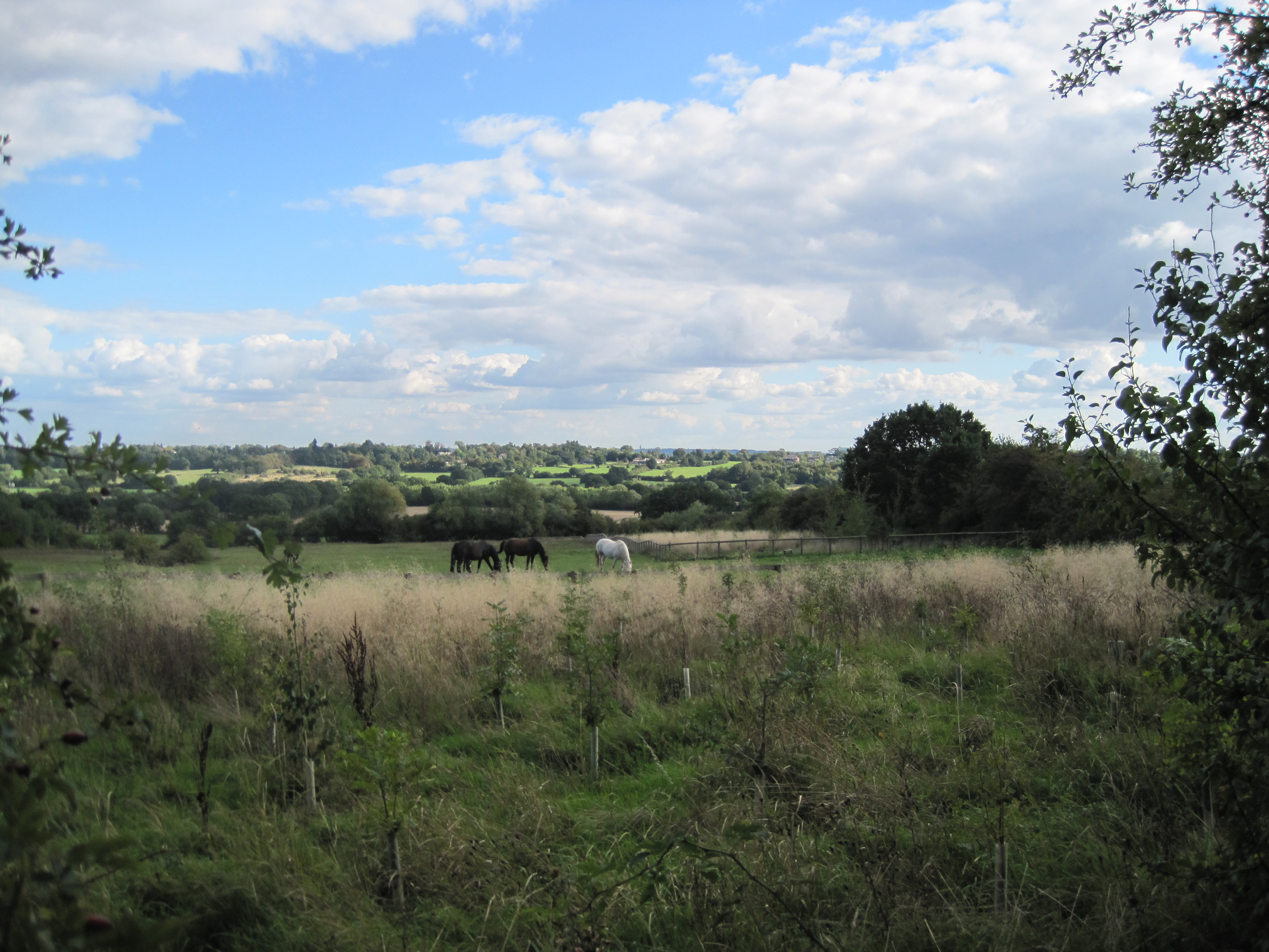
The village is characterized by its charming mix of traditional and modern architecture. Nestled among the rolling hills and green landscapes, one can find a variety of housing options ranging from quaint cottages to large country mansions. The area is highly sought after by families, professionals, and retirees alike, attracted by its tranquil atmosphere and proximity to London.
Arkley benefits from several amenities that cater to the needs of its residents. The village has a local pub, The Gate, which serves as a popular gathering spot for locals. Additionally, there are a few shops and a primary school within the village, ensuring convenience for families with young children.
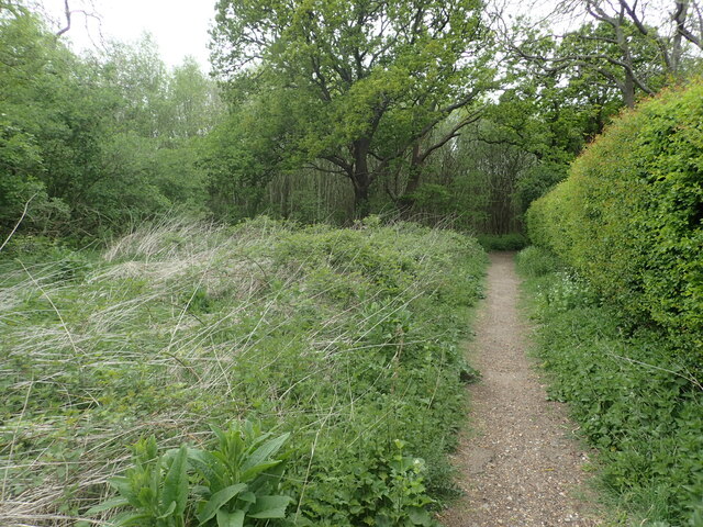
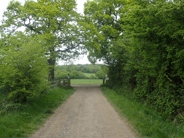
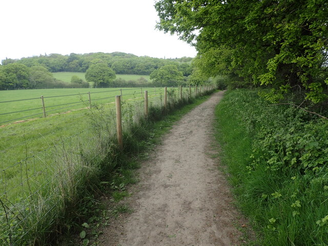
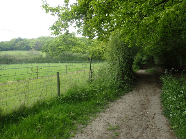
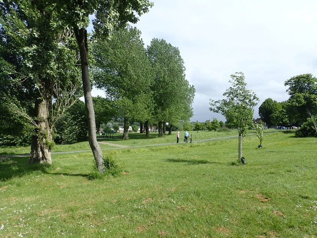
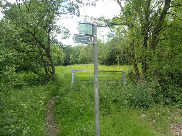
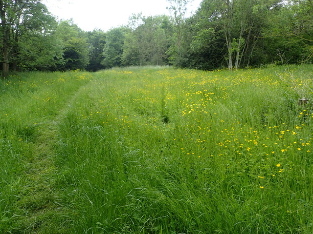
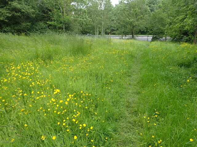
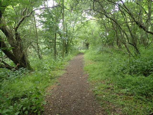
For outdoor enthusiasts, Arkley offers ample opportunities for recreational activities. The surrounding countryside provides numerous walking and cycling routes, allowing residents to immerse themselves in nature. The nearby Hadley Wood Golf Club is a popular destination for golf enthusiasts, offering a challenging course and beautiful views.
Overall, Arkley is a charming village that combines the tranquility of rural living with the convenience of nearby urban amenities. Its idyllic setting, well-preserved architecture, and strong sense of community make it a desirable place to call home.
If you have any feedback on the listing, please let us know in the comments section below.
Arkley Images
Images are sourced within 2km of 51.645845/-0.23307 or Grid Reference TQ2295. Thanks to Geograph Open Source API. All images are credited.

Arkley is located at Grid Ref: TQ2295 (Lat: 51.645845, Lng: -0.23307)
Unitary Authority: Barnet
Police Authority: Metropolitan
What 3 Words
///blues.grand.soft. Near High Barnet, London
Nearby Locations
Related Wikis
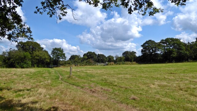
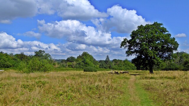
Glebe Lane Pastures
Glebe Lane Pastures is a Site of Borough Importance for Nature Conservation, Grade I, in Arkley in the London Borough of Barnet. It consists of five fields...

St Peter's Church, Arkley
St Peter's Church, is an early Victorian Church of England church in Arkley, in the London Borough of Barnet. It is a grade II listed building. == History... ==

Arkley War Memorial
Arkley War Memorial is a war memorial in Arkley, in the London Borough of Barnet. It was unveiled in 1920 to commemorate World War I, with later additions...
Arkley
Arkley is a village in Greater London, England, within the London Borough of Barnet. It is located 10.6 miles (17.1 km) north-northwest of Charing Cross...
Nearby Amenities
Located within 500m of 51.645845,-0.23307Have you been to Arkley?
Leave your review of Arkley below (or comments, questions and feedback).