Quarry Wood
Wood, Forest in Yorkshire Harrogate
England
Quarry Wood
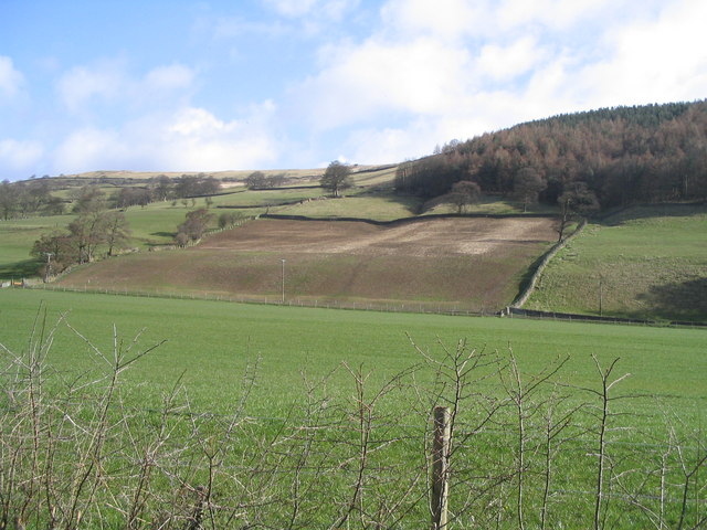
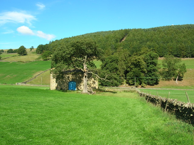
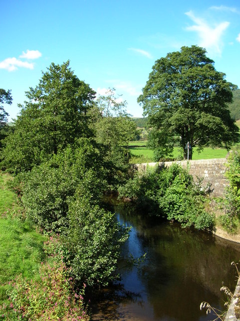
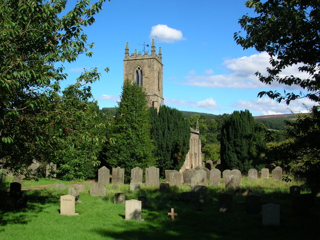
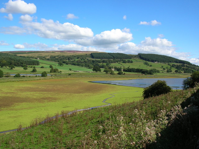
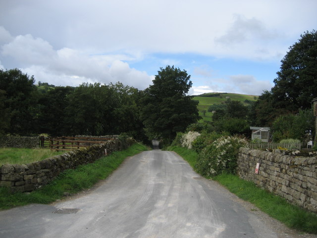
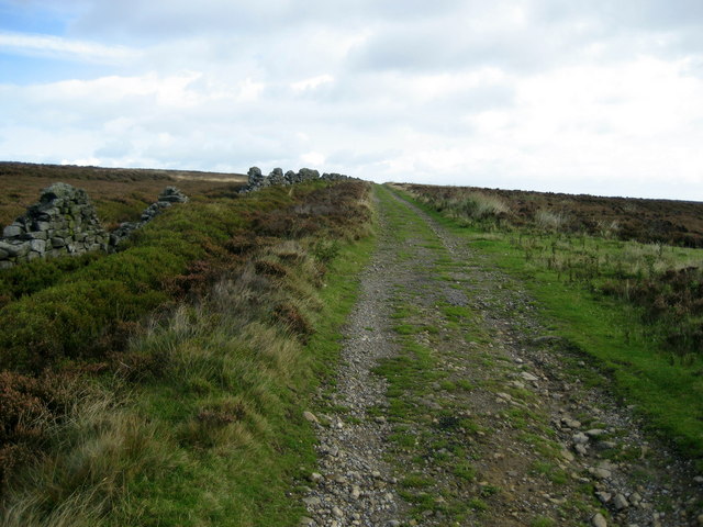
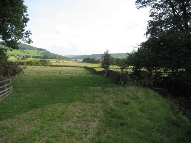
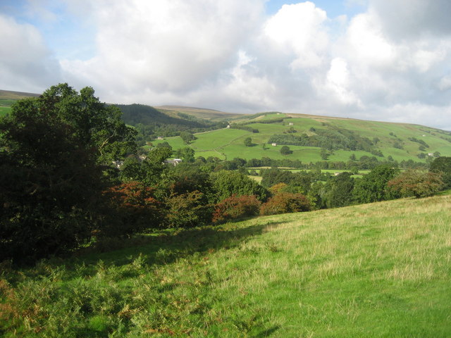
Quarry Wood, located in Yorkshire, England, is a beautiful woodland area that spans over a vast expanse of land. This enchanting forest is known for its lush greenery, diverse wildlife, and rich history. Covering an area of approximately several square miles, Quarry Wood is a popular destination for nature enthusiasts and hikers alike.
One of the notable features of Quarry Wood is its dense canopy of trees, consisting primarily of oak, beech, and birch, which provide shelter to a wide array of wildlife. Visitors to the wood can expect to encounter various bird species including woodpeckers, owls, and thrushes, as well as small mammals like squirrels, badgers, and foxes. The wood is also home to several rare plant species, adding to its ecological significance.
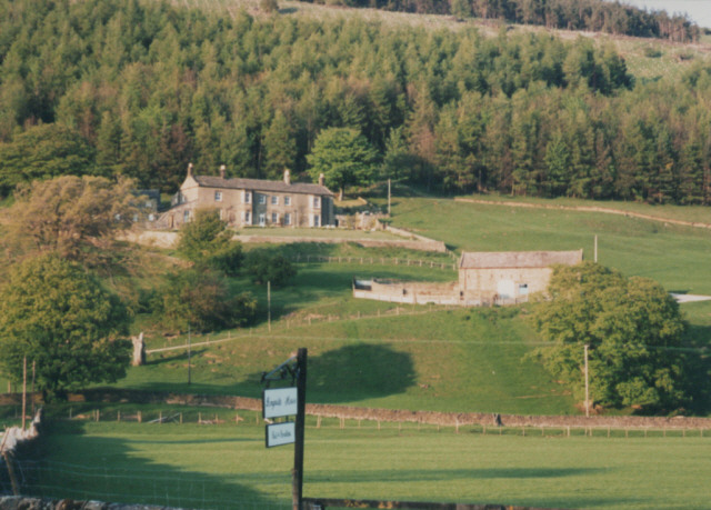
In addition to its natural beauty, Quarry Wood holds historical importance. It is believed that the wood has been in existence for centuries, with evidence of human activity dating back to the Roman era. The area was historically utilized for timber production and mining, hence its name. Remnants of old quarries can still be seen within the wood, serving as a reminder of its industrial past.
Today, Quarry Wood is managed and maintained by local authorities, ensuring its preservation and accessibility for the public. The wood offers a network of well-maintained trails and paths, allowing visitors to explore its serene surroundings. Whether for a leisurely stroll, birdwatching, or simply enjoying the tranquility of nature, Quarry Wood offers an idyllic retreat for all nature lovers in the heart of Yorkshire.
If you have any feedback on the listing, please let us know in the comments section below.
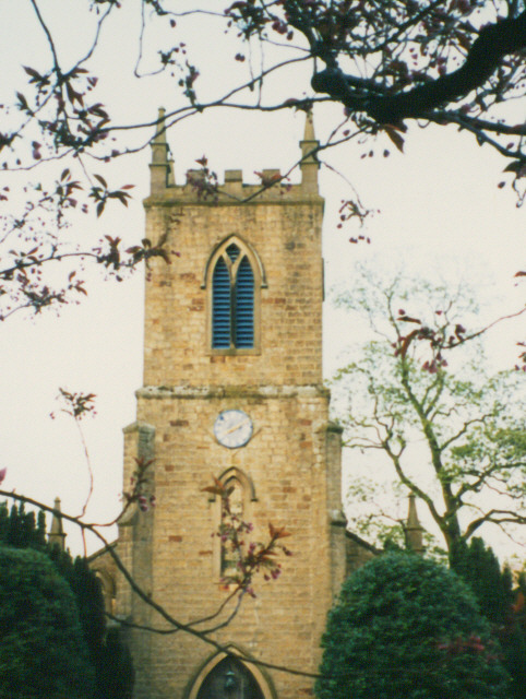
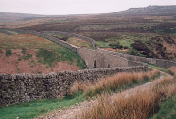
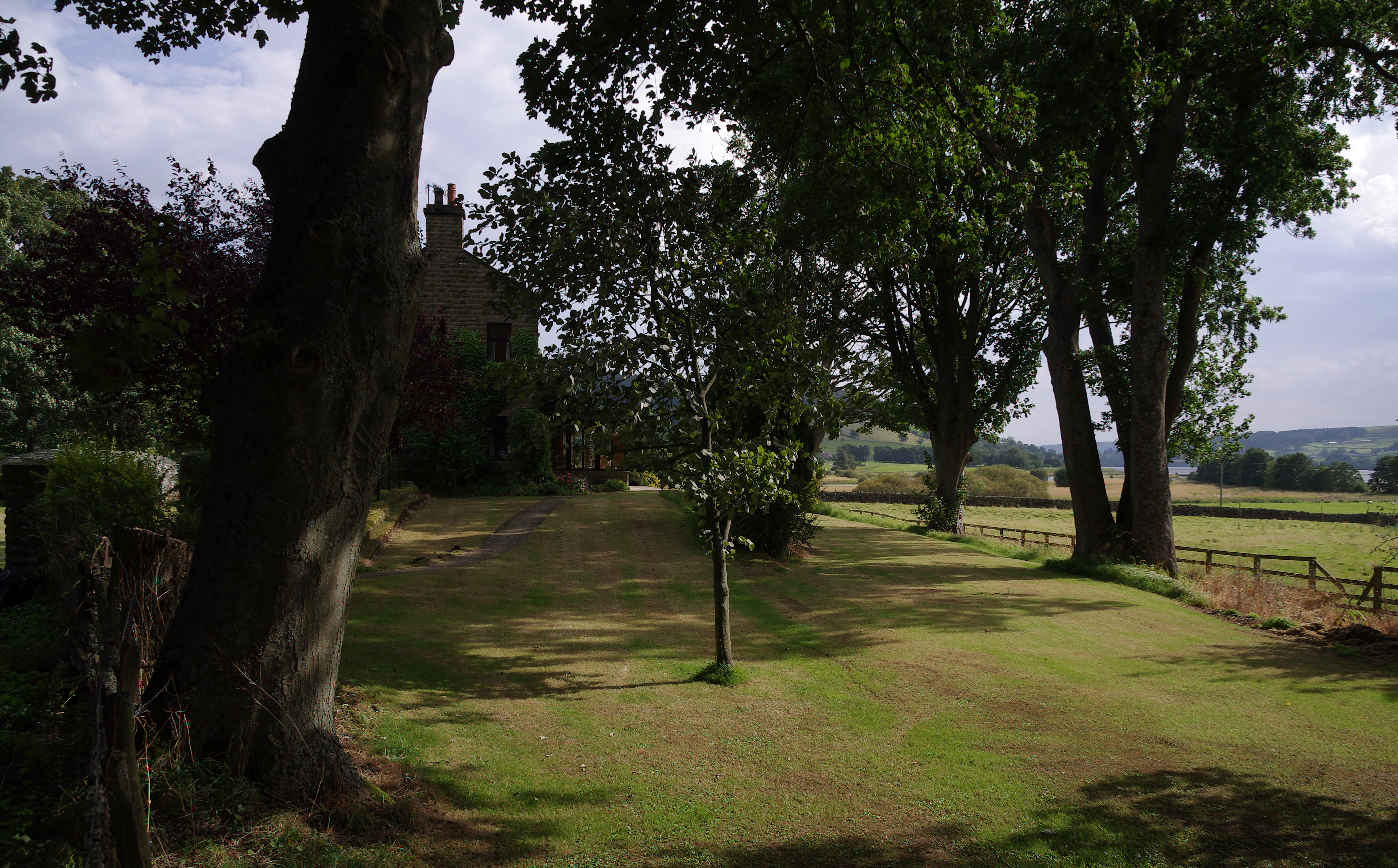
Quarry Wood Images
Images are sourced within 2km of 54.138045/-1.8025956 or Grid Reference SE1271. Thanks to Geograph Open Source API. All images are credited.


Quarry Wood is located at Grid Ref: SE1271 (Lat: 54.138045, Lng: -1.8025956)
Division: West Riding
Administrative County: North Yorkshire
District: Harrogate
Police Authority: North Yorkshire
What 3 Words
///then.goats.gradually. Near Pateley Bridge, North Yorkshire
Nearby Locations
Related Wikis
Ramsgill railway station
Ramsgill railway station was a station on the Nidd Valley Light Railway in Nidderdale in Yorkshire, England. It opened in 1907 and closed in 1930. It was...
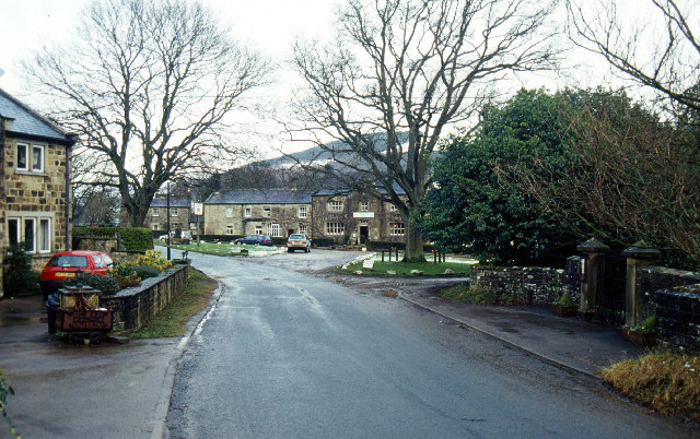
Bouthwaite
Bouthwaite is a hamlet in the Harrogate district of North Yorkshire, England. It is situated in Nidderdale, to the north of Pateley Bridge, close to the...

Ramsgill
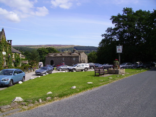
Ramsgill is a small village in Nidderdale, North Yorkshire, England, about 2 miles (3.2 km) south-east of Lofthouse, located near Gouthwaite Reservoir...

Yorke Arms
The Yorke Arms is a luxury events venue in Ramsgill, Nidderdale, in the Yorkshire Dales in northern England.The building began life as a shooting lodge...

Six Dales Trail
The Six Dales Trail is a long distance footpath in North Yorkshire, England, with a short section in West Yorkshire. It is 38 miles (61 km) long and connects...

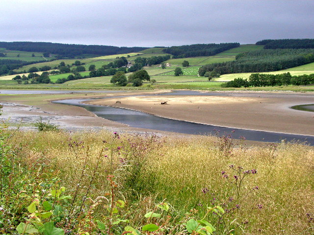
Gouthwaite Reservoir
Gouthwaite Reservoir is in Nidderdale, North Yorkshire, England. It is one of many reservoirs in the area, others include Roundhill Reservoir and Angram...

Skipton and Ripon (UK Parliament constituency)
Skipton and Ripon is a constituency in North Yorkshire represented in the House of Commons of the UK Parliament since 2010 by Julian Smith, a Conservative...
Lofthouse-in-Nidderdale railway station
Lofthouse-in-Nidderdale railway station was the northernmost regular passenger terminus on the Nidd Valley Light Railway (NVLR), in Lofthouse, then in...
Nearby Amenities
Located within 500m of 54.138045,-1.8025956Have you been to Quarry Wood?
Leave your review of Quarry Wood below (or comments, questions and feedback).