Paget's Copse
Wood, Forest in Wiltshire
England
Paget's Copse
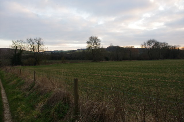
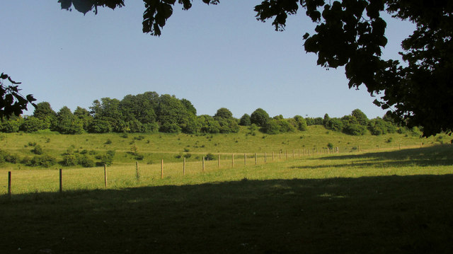
Paget's Copse is a picturesque wood located in Wiltshire, England. Covering an area of approximately 50 acres, it is an enchanting mix of ancient woodland and newer plantations. The copse is situated near the village of Downton, about 8 miles southeast of Salisbury.
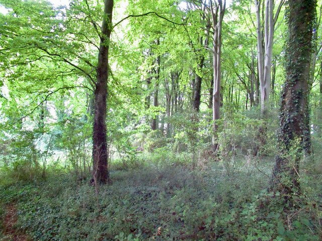
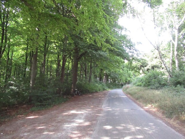
The woodland is primarily composed of broadleaf trees, including oak, beech, and ash, which create a dense canopy that provides shade and shelter for a diverse range of flora and fauna. Bluebells carpet the forest floor in spring, creating a stunning display of vibrant color. Other wildflowers, such as primroses and wood anemones, also bloom in abundance.
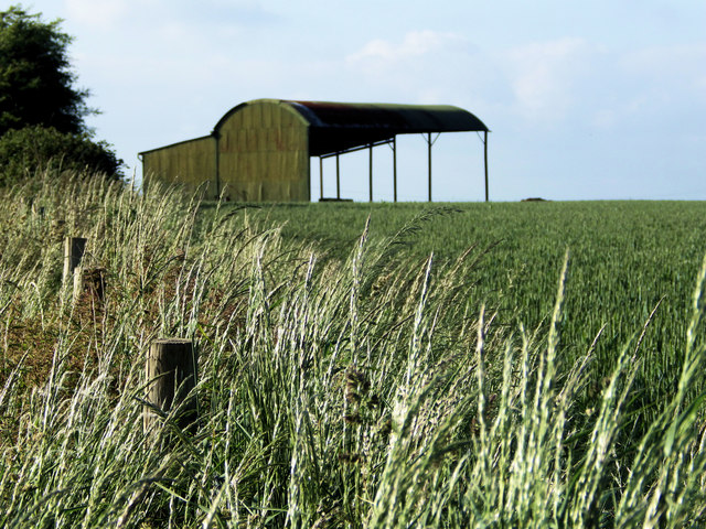
Paget's Copse is home to a rich variety of wildlife. Birdwatchers can spot a range of species, including woodpeckers, tawny owls, and various warblers. Mammals such as deer, foxes, and badgers can be glimpsed in the early morning or at dusk. The copse also boasts a thriving population of butterflies, with species like the silver-washed fritillary and purple hairstreak fluttering among the trees.
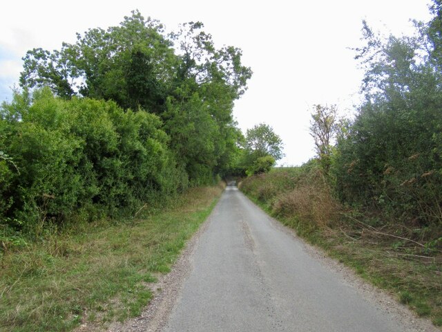
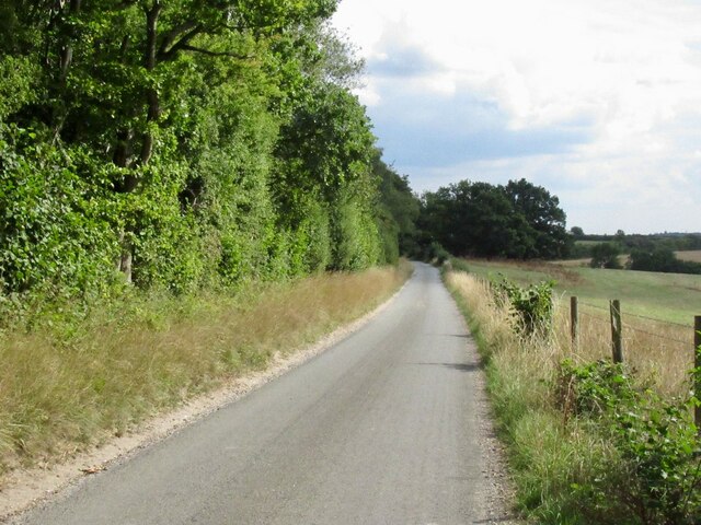
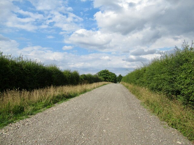
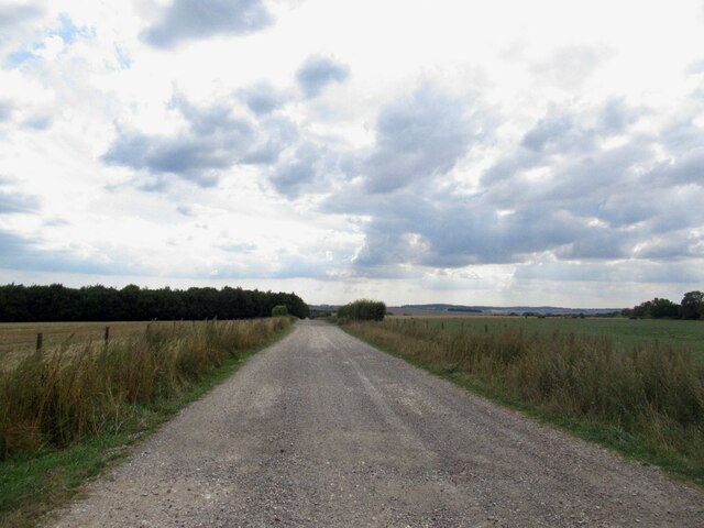
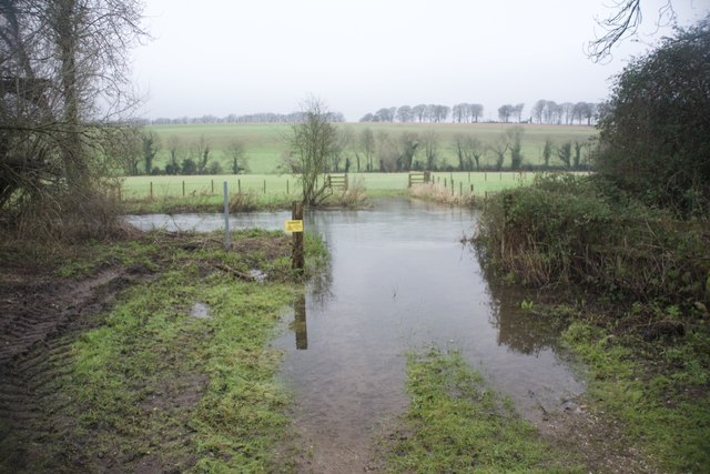
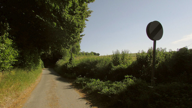
A network of footpaths and trails wind through Paget's Copse, providing visitors with the opportunity to explore the wood's natural beauty. The wood is a popular spot for walking, jogging, and picnicking, with several designated picnic areas dotted throughout. The peaceful atmosphere and tranquil surroundings make it an ideal location for both nature enthusiasts and those seeking relaxation.
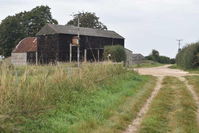
Paget's Copse is managed by the local authority and is open to the public year-round, with no admission fee. The wood offers a peaceful retreat from the hustle and bustle of everyday life, where visitors can immerse themselves in the beauty of nature and enjoy the tranquility of the forest.
If you have any feedback on the listing, please let us know in the comments section below.
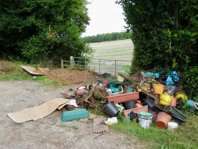
Paget's Copse Images
Images are sourced within 2km of 51.022715/-1.8161099 or Grid Reference SU1224. Thanks to Geograph Open Source API. All images are credited.
Paget's Copse is located at Grid Ref: SU1224 (Lat: 51.022715, Lng: -1.8161099)
Unitary Authority: Wiltshire
Police Authority: Wiltshire
What 3 Words
///crypt.ooze.retained. Near Salisbury, Wiltshire
Nearby Locations
Related Wikis
River Avon System
River Avon System is a 475.9-hectare (1,176-acre) biological Site of Special Scientific Interest in Hampshire and Wiltshire, southern England. It is a...

Odstock Down
Odstock Down (grid reference SU139250) is a 12.1 hectare biological Site of Special Scientific Interest in Wiltshire, England, above the village of Odstock...

Great Yews
Great Yews (grid reference SU120231) is a 29.3 hectare biological Site of Special Scientific Interest in Wiltshire, notified in 1951. == Sources == Natural...

Odstock
Odstock is a village and civil parish 3 miles (4.8 km) south of Salisbury in Wiltshire, England. The parish includes the village of Nunton with its nearby...

Clearbury Ring
Clearbury Ring is a univallate Iron Age hillfort which is partly in the parish of Downton in the county of Wiltshire in south-west England, approximately...
Clearbury Down
Clearbury Down (grid reference SU152240) is a 13.3 hectare biological Site of Special Scientific Interest in Wiltshire, England. It is above the village...
Homington and Coombe Bissett Downs
Homington and Coombe Bissett Downs (grid reference SU104245) is a 25.0 hectare biological Site of Special Scientific Interest in Wiltshire, notified in...

Coombe Bissett
Coombe Bissett is a village and civil parish in the English county of Wiltshire in the River Ebble valley, 3 miles (4.8 km) southwest of Salisbury on the...
Have you been to Paget's Copse?
Leave your review of Paget's Copse below (or comments, questions and feedback).