Black Byerside Wood

Wood, Forest in Durham

England

Black Byerside Wood

Derwentcote Steel Works Dating from about 1720, this building used to be at the centre of the British steel making industry. Now in peaceful farmland, the curiosity is why iron and steel making would have been attracted here in the first place.
Derwentcote Steel Works Credit: Uncredited

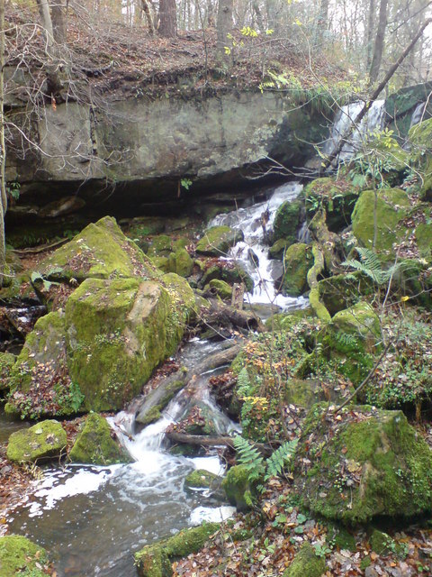
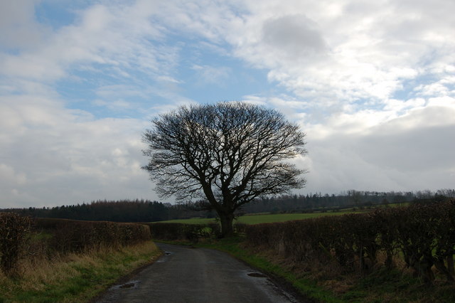
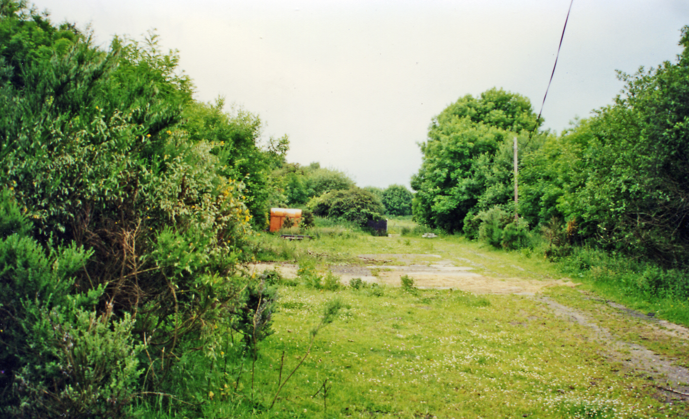
Black Byerside Wood is a beautiful forest located in Durham, England. Covering an area of approximately 50 acres, this woodland is a hidden gem for nature enthusiasts and those seeking tranquility amidst the bustling city life. It is situated near the village of Byerside, just a short drive away from Durham city center.

The wood is predominantly composed of native broadleaf trees, such as oak, beech, and birch, which create a stunning canopy that provides shade and shelter for a diverse range of flora and fauna. The forest floor is carpeted with a variety of wildflowers, including bluebells and primroses, which bloom in vibrant colors during the spring season.

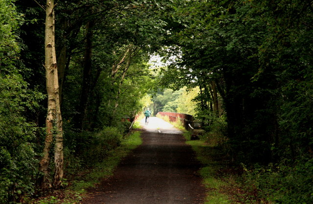
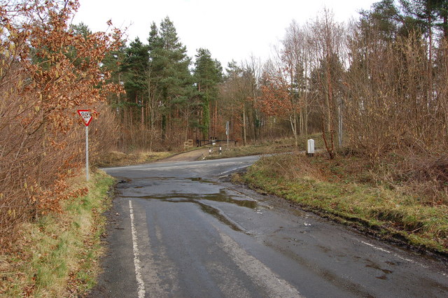
Black Byerside Wood is not only aesthetically pleasing but also holds significant historical and cultural importance. It is believed to have been part of the medieval hunting grounds of the local nobility and has retained its natural beauty over the centuries. The forest is intersected by a network of paths and trails, allowing visitors to explore its depths and discover its hidden treasures.

The wood is a haven for wildlife, with various species of birds, squirrels, and deer calling it home. Birdwatchers can spot woodpeckers, owls, and other avian species throughout the year. The tranquil atmosphere and the abundance of wildlife make it an ideal spot for nature photographers and wildlife enthusiasts.

Overall, Black Byerside Wood is a picturesque woodland that offers a peaceful retreat for visitors looking to connect with nature and enjoy the beauty of Durham's countryside.

If you have any feedback on the listing, please let us know in the comments section below.

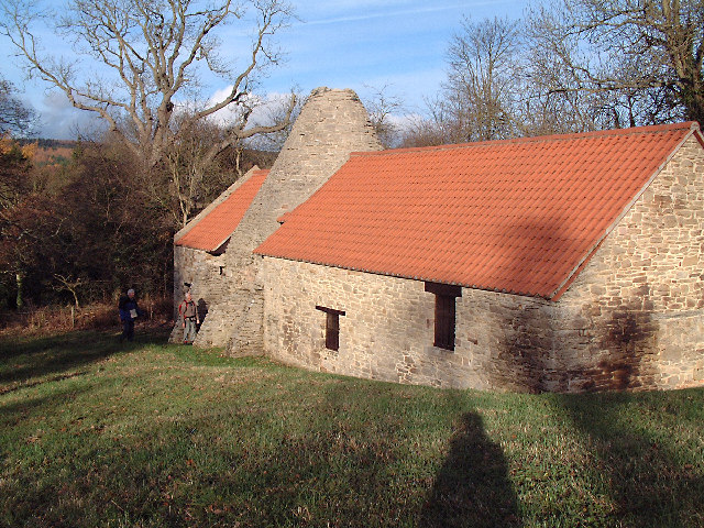
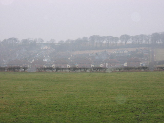
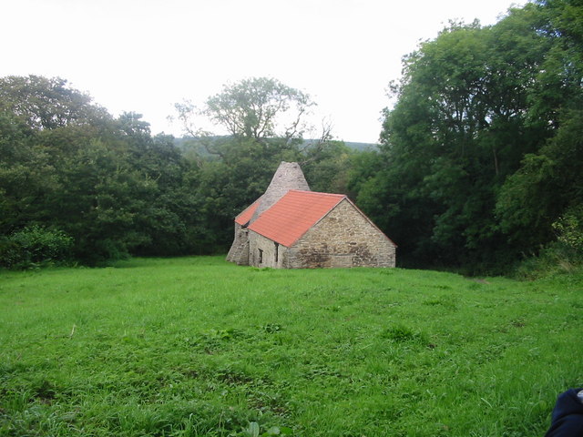
Black Byerside Wood Images

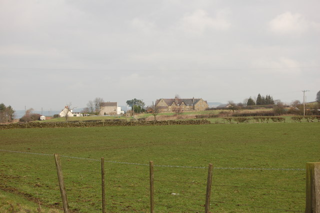
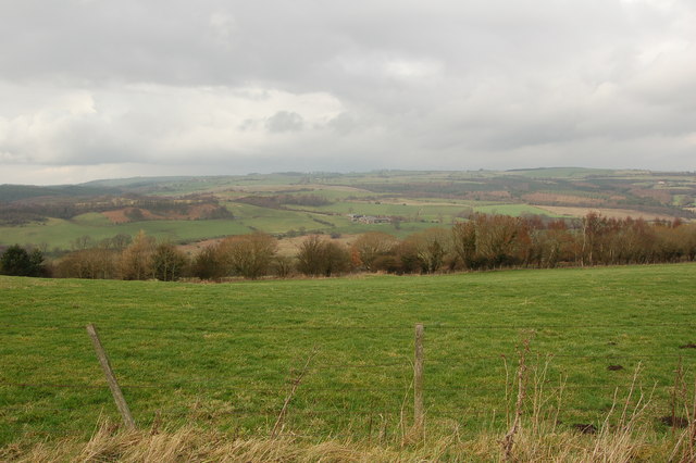
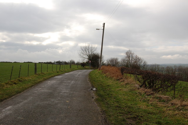
Images are sourced within 2km of 54.893515/-1.8001085 or Grid Reference NZ1255. Thanks to Geograph Open Source API. All images are credited.

Derwentcote Steel Works Dating from about 1720, this building used to be at the centre of the British steel making industry. Now in peaceful farmland, the curiosity is why iron and steel making would have been attracted here in the first place.
Derwentcote Steel Works
Dating from about 1720, this building used to be at the centre of the British steel making industry. Now in peaceful farmland, the curiosity is why iron and steel making would have been attracted here in the first place.
The Dene View of the entire small estate called The Dene situated near the main road of the village Medomsley.
The Dene
View of the entire small estate called The Dene situated near the main road of the village Medomsley.
Wood Anemones next to the River Derwent One of the many nice surprises of Chopwell Woods, seen running alongside the River Derwent.
Wood Anemones next to the River Derwent
One of the many nice surprises of Chopwell Woods, seen running alongside the River Derwent.
Derwentcote Steel Furnace Once at the centre of the British Steel Industry, 18th Century Derwentcote is the earliest and most complete authentic steel making furnace to have survived.

It dates from about 1720 and was one of a number of steel manufacturing works along the banks of the River Derwent. This area, along with neighbouring Tyneside, produced nearly half of Britain’s steel output in the 18th Century.
Derwentcote Steel Furnace
Once at the centre of the British Steel Industry, 18th Century Derwentcote is the earliest and most complete authentic steel making furnace to have survived. It dates from about 1720 and was one of a number of steel manufacturing works along the banks of the River Derwent. This area, along with neighbouring Tyneside, produced nearly half of Britain’s steel output in the 18th Century.
Derwent walk & cycleway, near Hamsterley Mill View of the cycleway just west of the viaduct. This excellent footpath and cycleway follows the former trackbed of the Derwent Valley Railway.  More information at: <span class="nowrap"><a title="http://www.cycle-routes.org/threerivers/3r_bridges/derwent_bridges.html" rel="nofollow ugc noopener" href="http://www.cycle-routes.org/threerivers/3r_bridges/derwent_bridges.html">Link</a><img style="margin-left:2px;" alt="External link" title="External link - shift click to open in new window" src="https://s1.geograph.org.uk/img/external.png" width="10" height="10"/></span>
Derwent walk & cycleway, near Hamsterley Mill
View of the cycleway just west of the viaduct. This excellent footpath and cycleway follows the former trackbed of the Derwent Valley Railway. More information at: LinkExternal link
Pont Burn Waterfall Waterfall in Pontburn Wood Natyre Reserve close to Hamsterley Hall
Pont Burn Waterfall
Waterfall in Pontburn Wood Natyre Reserve close to Hamsterley Hall
High Westwood
High Westwood
Trees, fence and field near High Westwood
Road to Ebchester from High Westwood
Tree on Cut Throat Lane
Field and woods south of the Derwent walk off Cut Throat Lane
Trees and bushes near Black Byerside wood
Road junction on B6310 across from Make Me Rich Plantation
Back of Aged Mineworkers homes Hamsterley
Converted chapel Hamsterley
The Cronniwell Village Inn Hamsterley
Bridge over river Derwent to Blackhall Mill
River Derwent Blackhall Mill
Show me another place!

Black Byerside Wood is located at Grid Ref: NZ1255 (Lat: 54.893515, Lng: -1.8001085)

Unitary Authority: County Durham

Police Authority: Durham

What 3 Words

///surviving.headrest.hails. Near Chopwell, Tyne & Wear

Related Wikis

Derwentcote Steel Furnace

Derwentcote Steel Furnace (grid reference NZ131566), Rowlands Gill, near Newcastle upon Tyne, England, built in 1720, is an example of an early cementation...

Hamsterley Hall

Hamsterley Hall is an 18th-century English country house at Hamsterley, Rowlands Gill, County Durham, England. It is a Grade II* listed building. The estate...

High Westwood

High Westwood is an English village in County Durham, a few miles to the north of Consett, near Ebchester and Hamsterley. It once had a colliery and coke...

Hamsterley, Consett

Hamsterley is a village in County Durham, England. It is situated to the north of Consett and borders the hamlet of Low Westwood. == Colliery == It was...

Medomsley

Medomsley is a village in County Durham, England. It is about 2 miles (3 km) northeast of the centre of Consett, 1+1⁄2 miles (2 km) south of Hamsterley...

High Westwood railway station

High Westwood railway station served the village of High Westwood, County Durham, England from 1909 to 1942 on the Derwent Valley Railway. == History... ==

Hamsterley Mill

Hamsterley Mill is a village in County Durham, around 3 miles from Burnopfield and approximately the same distance from Consett.

Low Westwood

Low Westwood is a village in County Durham, England. It is situated immediately to the west of Hamsterley. Low Westwood is probably best known for Hamsterley...

Nearby Amenities

Located within 500m of 54.893515,-1.8001085
Power: pole
Lat/Long: 54.8917723/-1.8061244
Power: pole
Lat/Long: 54.8906876/-1.8058854
Barrier: stile
Lat/Long: 54.896107/-1.8048254
The data included in this document is from www.openstreetmap.org. The data is made available under ODbL.

Have you been to Black Byerside Wood?

Leave your review of Black Byerside Wood below (or comments, questions and feedback).