Black Bog Wood

Wood, Forest in Durham

England

Black Bog Wood

Derwentcote Steel Works Dating from about 1720, this building used to be at the centre of the British steel making industry. Now in peaceful farmland, the curiosity is why iron and steel making would have been attracted here in the first place.
Derwentcote Steel Works Credit: Uncredited

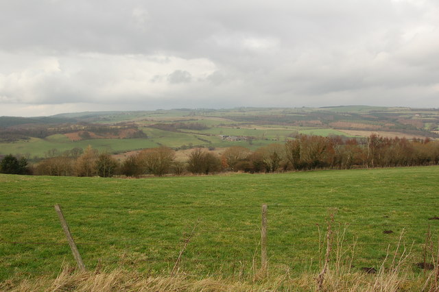
Black Bog Wood is a forest located in County Durham, England. It is a unique and significant woodland due to its ancient nature and the presence of well-preserved bog oak trees. The wood covers an area of approximately 20 acres and is characterized by its dark, peaty soil and dense vegetation.

The forest is known for its primeval atmosphere, with the towering trees creating a sense of mystery and enchantment. The bog oak trees, which give the wood its name, are remnants of an ancient forest that existed over 4,000 years ago. These trees have been preserved in the boggy conditions and have turned black over time, creating a striking visual contrast against the surrounding greenery.

Black Bog Wood is home to a diverse range of plant and animal species. The damp conditions provide an ideal habitat for mosses, ferns, and wildflowers, creating a lush and vibrant undergrowth. The wood is also a haven for various bird species, including woodpeckers, owls, and warblers.

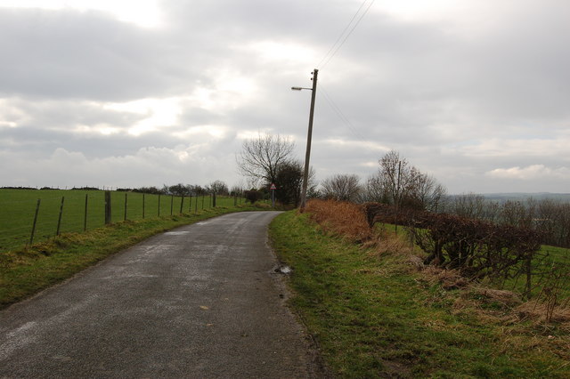
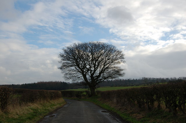
Visitors to Black Bog Wood can explore the forest through a network of well-maintained trails. These trails offer opportunities for walking, birdwatching, and photography. The woodland is a popular destination for nature enthusiasts and provides a tranquil escape from the hustle and bustle of everyday life.

Due to its ecological significance and historical value, Black Bog Wood is protected under conservation regulations. This ensures the preservation of its unique ecosystem and allows future generations to appreciate its natural beauty.

If you have any feedback on the listing, please let us know in the comments section below.

Black Bog Wood Images

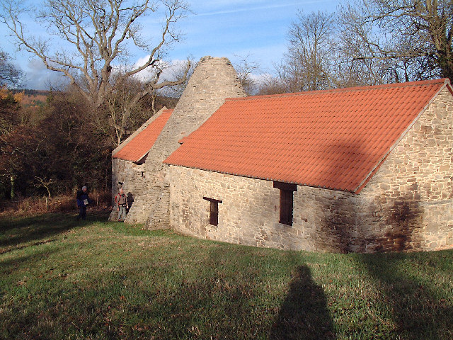
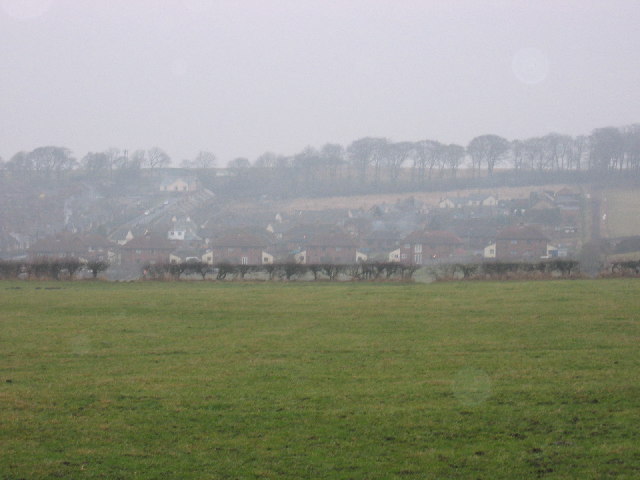
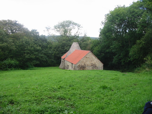
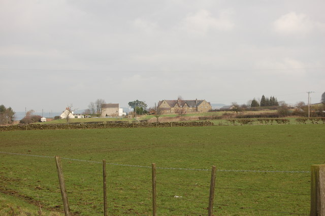
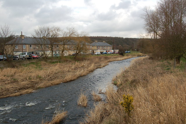
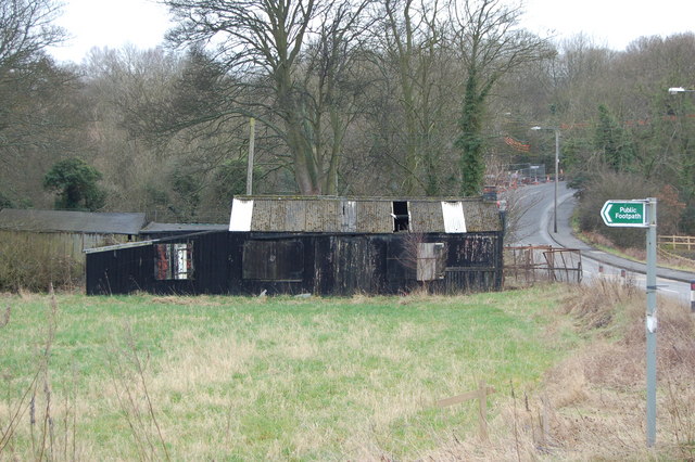
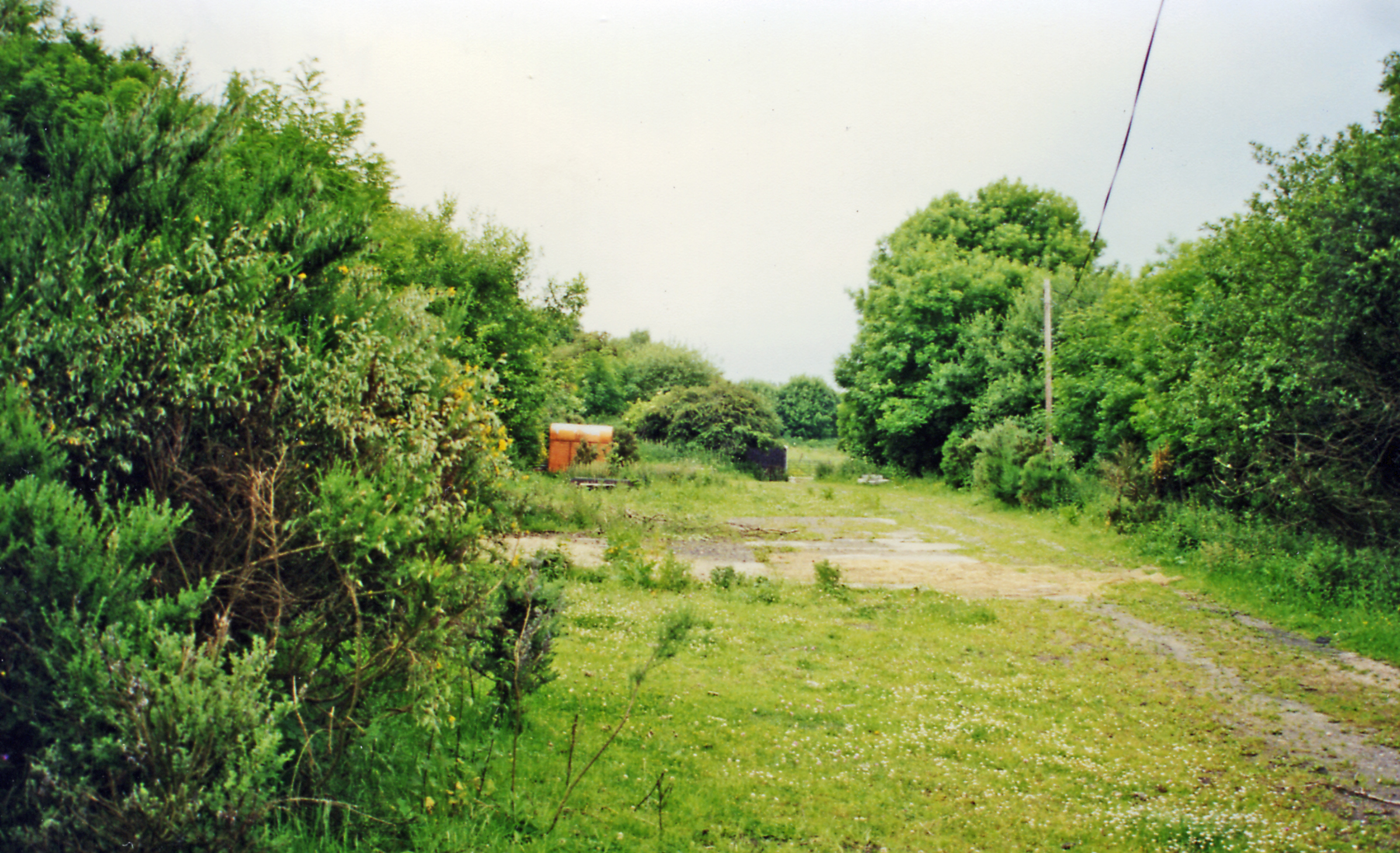
Images are sourced within 2km of 54.893794/-1.8058446 or Grid Reference NZ1255. Thanks to Geograph Open Source API. All images are credited.

Derwentcote Steel Works Dating from about 1720, this building used to be at the centre of the British steel making industry. Now in peaceful farmland, the curiosity is why iron and steel making would have been attracted here in the first place.
Derwentcote Steel Works
Dating from about 1720, this building used to be at the centre of the British steel making industry. Now in peaceful farmland, the curiosity is why iron and steel making would have been attracted here in the first place.
The Dene View of the entire small estate called The Dene situated near the main road of the village Medomsley.
The Dene
View of the entire small estate called The Dene situated near the main road of the village Medomsley.
Derwentcote Steel Furnace Once at the centre of the British Steel Industry, 18th Century Derwentcote is the earliest and most complete authentic steel making furnace to have survived.

It dates from about 1720 and was one of a number of steel manufacturing works along the banks of the River Derwent. This area, along with neighbouring Tyneside, produced nearly half of Britain’s steel output in the 18th Century.
Derwentcote Steel Furnace
Once at the centre of the British Steel Industry, 18th Century Derwentcote is the earliest and most complete authentic steel making furnace to have survived. It dates from about 1720 and was one of a number of steel manufacturing works along the banks of the River Derwent. This area, along with neighbouring Tyneside, produced nearly half of Britain’s steel output in the 18th Century.
High Westwood
High Westwood
Trees, fence and field near High Westwood
Road to Ebchester from High Westwood
Tree on Cut Throat Lane
Field and woods south of the Derwent walk off Cut Throat Lane
Trees and bushes near Black Byerside wood
Road junction on B6310 across from Make Me Rich Plantation
Back of Aged Mineworkers homes Hamsterley
Converted chapel Hamsterley
The Cronniwell Village Inn Hamsterley
Bridge over river Derwent to Blackhall Mill
River Derwent Blackhall Mill
Shed between Hamsterley and Blackhall Mill
Strange gazebo Hamsterley Hall home of author Robert Smith Surtees who inherited the house in 1831.
Strange gazebo Hamsterley Hall
home of author Robert Smith Surtees who inherited the house in 1831.
Pylons near Southfield Farm
Show me another place!

Black Bog Wood is located at Grid Ref: NZ1255 (Lat: 54.893794, Lng: -1.8058446)

Unitary Authority: County Durham

Police Authority: Durham

What 3 Words

///prefect.rare.shunning. Near Chopwell, Tyne & Wear

Related Wikis

High Westwood

High Westwood is an English village in County Durham, a few miles to the north of Consett, near Ebchester and Hamsterley. It once had a colliery and coke...

Derwentcote Steel Furnace

Derwentcote Steel Furnace (grid reference NZ131566), Rowlands Gill, near Newcastle upon Tyne, England, built in 1720, is an example of an early cementation...

High Westwood railway station

High Westwood railway station served the village of High Westwood, County Durham, England from 1909 to 1942 on the Derwent Valley Railway. == History... ==

Hamsterley, Consett

Hamsterley is a village in County Durham, England. It is situated to the north of Consett and borders the hamlet of Low Westwood. == Colliery == It was...

Nearby Amenities

Located within 500m of 54.893794,-1.8058446
Power: pole
Lat/Long: 54.8920583/-1.8078465
Power: pole
Lat/Long: 54.892632/-1.8113149
Power: pole
Lat/Long: 54.8897572/-1.8063823
Power: pole
Lat/Long: 54.8924629/-1.812492
Power: pole
Lat/Long: 54.8923438/-1.8095328
Power: pole
Lat/Long: 54.8917723/-1.8061244
Power: pole
Lat/Long: 54.8906876/-1.8058854
Barrier: stile
Lat/Long: 54.896107/-1.8048254
The data included in this document is from www.openstreetmap.org. The data is made available under ODbL.

Have you been to Black Bog Wood?

Leave your review of Black Bog Wood below (or comments, questions and feedback).