Hazelton Clump

Wood, Forest in Staffordshire Staffordshire Moorlands

England

Hazelton Clump

Autumn view from Blore Pastures  Taken from Blore Pastures Picnic site looking across towards Bunster Hill and the mouth of Dovedale.
Autumn view from Blore Pastures Credit: Trevor Harris

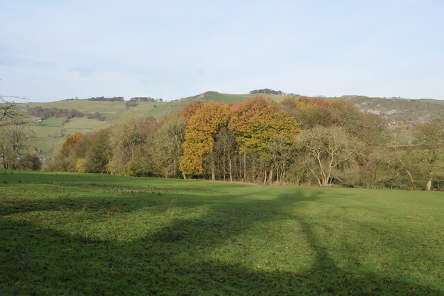
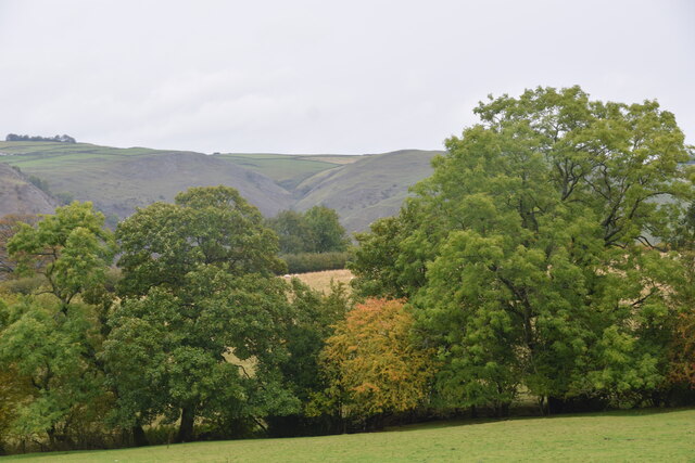
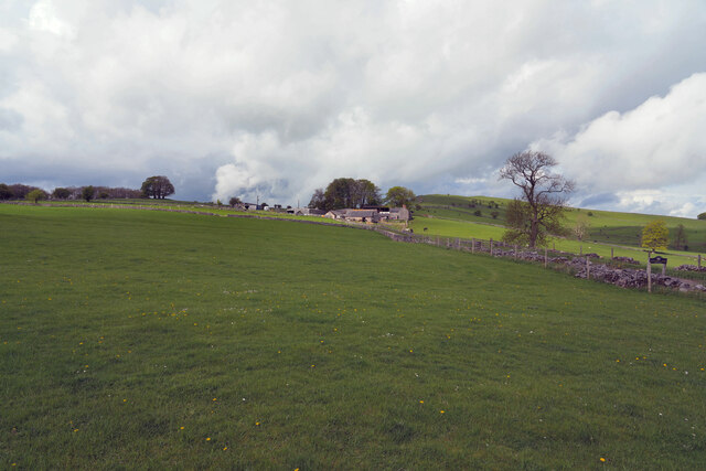
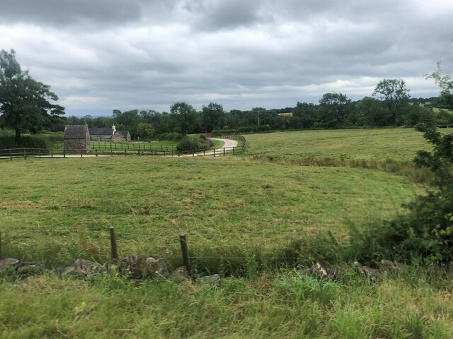
Hazelton Clump, located in Staffordshire, England, is a picturesque woodland area known for its dense concentration of hazel trees. This enchanting forest, also referred to as Hazelton Wood, covers an area of approximately 100 acres and offers visitors a tranquil escape from the bustling city life.

The forest boasts a diverse range of plant and animal species, creating a thriving ecosystem. The hazel trees are the dominant species, forming a dense canopy that filters sunlight and creates a cool, shaded environment below. The woodland floor is adorned with carpets of bluebells during the spring season, adding a vibrant burst of color to the landscape.

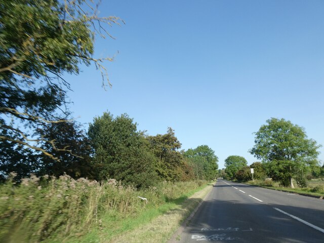
Hazelton Clump is a popular destination for nature enthusiasts and hikers, who can explore the numerous trails that wind through the forest. These trails provide a wonderful opportunity for visitors to immerse themselves in the natural beauty of the area and observe the local wildlife, such as deer, foxes, and a variety of bird species.

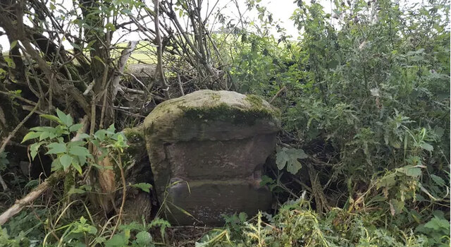
The forest is also known for its historical significance, with evidence of human activity dating back centuries. Archaeological findings suggest that the area was inhabited during the Iron Age, with remnants of ancient settlements and burial sites discovered in and around Hazelton Clump.

Overall, Hazelton Clump in Staffordshire offers a serene and captivating environment for nature lovers, history enthusiasts, and those seeking a peaceful retreat amidst the beauty of the natural world.

If you have any feedback on the listing, please let us know in the comments section below.

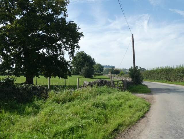
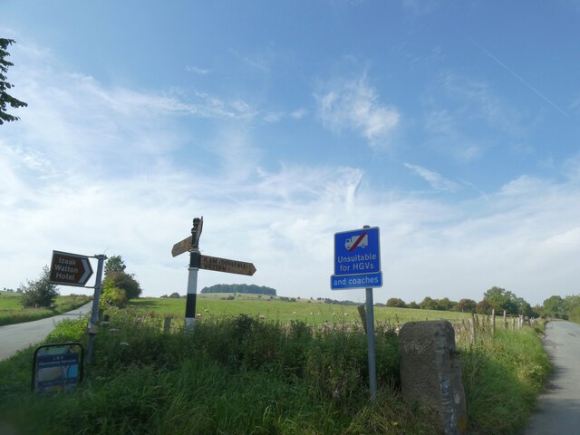
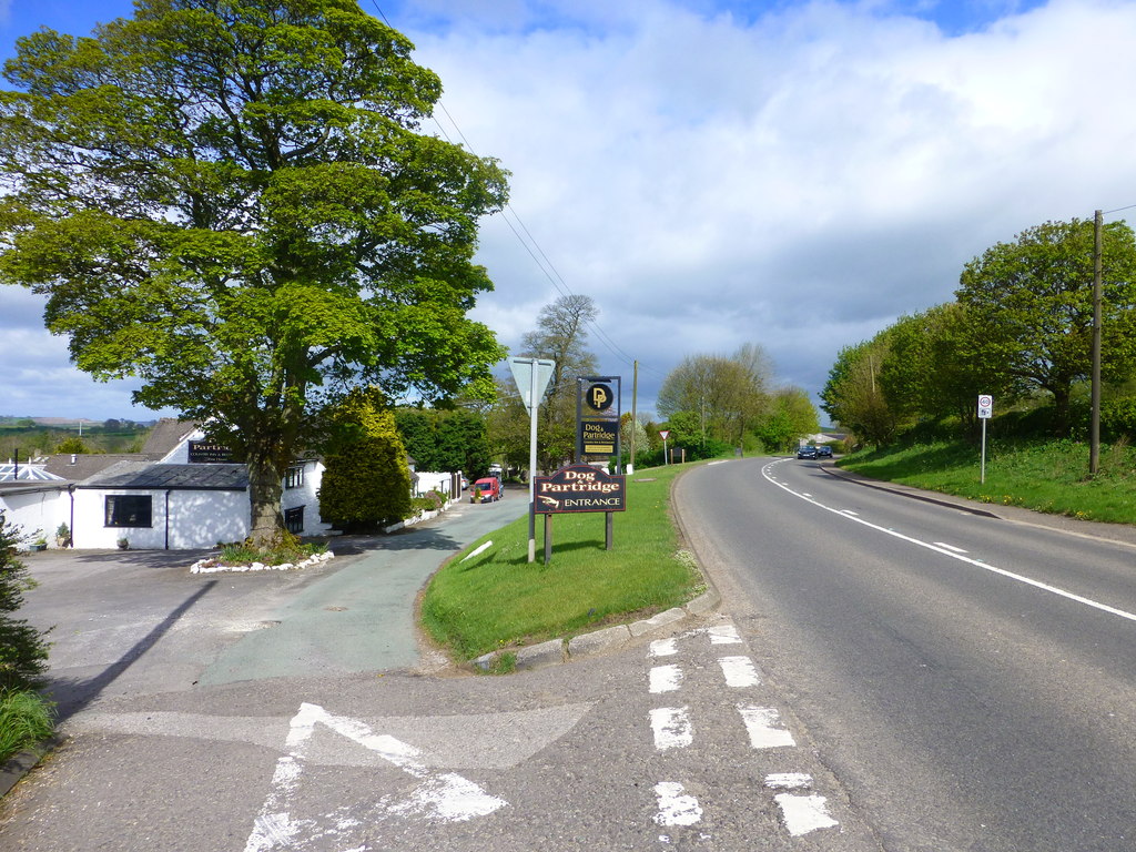
Hazelton Clump Images

Images are sourced within 2km of 53.045933/-1.8142073 or Grid Reference SK1249. Thanks to Geograph Open Source API. All images are credited.

Autumn view from Blore Pastures  Taken from Blore Pastures Picnic site looking across towards Bunster Hill and the mouth of Dovedale.
Autumn view from Blore Pastures
Taken from Blore Pastures Picnic site looking across towards Bunster Hill and the mouth of Dovedale.
Dog & Partridge - Swinscoe
Speed Limit change
Speed Limit change
Junction signage
Junction signage
View towards Dove Dale  Taken from the picnic area on Blore Pasture.
View towards Dove Dale
Taken from the picnic area on Blore Pasture.
The Waterings Farm The farm is off Blore Lane and has a good view across and down the valley.
The Waterings Farm
The farm is off Blore Lane and has a good view across and down the valley.
Looking along Blore Lane Looking back down the road from the position of the previous submission <a href="https://www.geograph.org.uk/photo/7479439">SK1249 : The Waterings Farm</a>.
Looking along Blore Lane
Looking back down the road from the position of the previous submission SK1249 : The Waterings Farm.
Dog and Partridge Inn On the edge of the Peak District National Park
Dog and Partridge Inn
On the edge of the Peak District National Park
Drive to Little Moor Cottage
The Dog and Partridge at Swinscoe
Drive to Littlemoor Cottage (a footpath)
Milepost by A523 near Calton Moor House And a distant wind turbine
Milepost by A523 near Calton Moor House
And a distant wind turbine
Lay-by by A523
Lay-by by A523
Long straight length of A52, west of Swinscoe The A52 is a major east-west road in the East Midlands. It runs east from a junction with the A53 at Newcastle-under-Lyme near Stoke-on-Trent (just east of the M6) to the Lincolnshire coast at Mablethorpe. Running for approximately 147 miles, its route passes via Ashbourne, Derby, Stapleford, Nottingham, West Bridgford, Bingham, Grantham, Boston and Skegness.
Long straight length of A52, west of Swinscoe
The A52 is a major east-west road in the East Midlands. It runs east from a junction with the A53 at Newcastle-under-Lyme near Stoke-on-Trent (just east of the M6) to the Lincolnshire coast at Mablethorpe. Running for approximately 147 miles, its route passes via Ashbourne, Derby, Stapleford, Nottingham, West Bridgford, Bingham, Grantham, Boston and Skegness.
Bus shelter by A52, Swinscoe The A52 is a major east-west road in the East Midlands. It runs east from a junction with the A53 at Newcastle-under-Lyme near Stoke-on-Trent (just east of the M6) to the Lincolnshire coast at Mablethorpe. Running for approximately 147 miles, its route passes via Ashbourne, Derby, Stapleford, Nottingham, West Bridgford, Bingham, Grantham, Boston and Skegness.
Bus shelter by A52, Swinscoe
The A52 is a major east-west road in the East Midlands. It runs east from a junction with the A53 at Newcastle-under-Lyme near Stoke-on-Trent (just east of the M6) to the Lincolnshire coast at Mablethorpe. Running for approximately 147 miles, its route passes via Ashbourne, Derby, Stapleford, Nottingham, West Bridgford, Bingham, Grantham, Boston and Skegness.
Old Milestone by Ilam-Moor Lane, west of Blore Stone post (plate lost) by the UC road, Ilam-Moor Lane, in parish of Blore with Swinscoe (Staffordshire Moorlands District), West of Blore cross-roads, on grass verge, on South side of road. Cheadle iron plate, erected by the Cheadle to Butterton Moor (District of Cheadle) turnpike trust in the 19th century. 

Inscription once read:-
(CHEADLE)
(10)

Staffordshire HER.
HER Number: 20672 <span class="nowrap"><a title="https://www.heritagegateway.org.uk/Gateway/Results_Single.aspx?uid=MST5936&resourceID=1010" rel="nofollow ugc noopener" href="https://www.heritagegateway.org.uk/Gateway/Results_Single.aspx?uid=MST5936&resourceID=1010">Link</a><img style="margin-left:2px;" alt="External link" title="External link - shift click to open in new window" src="https://s1.geograph.org.uk/img/external.png" width="10" height="10"/></span>

Milestone Society National ID: ST_CDBM10
Old Milestone by Ilam-Moor Lane, west of Blore
Stone post (plate lost) by the UC road, Ilam-Moor Lane, in parish of Blore with Swinscoe (Staffordshire Moorlands District), West of Blore cross-roads, on grass verge, on South side of road. Cheadle iron plate, erected by the Cheadle to Butterton Moor (District of Cheadle) turnpike trust in the 19th century. Inscription once read:- (CHEADLE) (10) Staffordshire HER. HER Number: 20672 LinkExternal link Milestone Society National ID: ST_CDBM10
Verge and field gate near Coldwall Farm
An addendum to the road sign, near Blore Hall Unsuitable for HGVs on the original sign, with the addition "And coaches"; presumably in the past some coach drivers thought that they could use the road
An addendum to the road sign, near Blore Hall
Unsuitable for HGVs on the original sign, with the addition "And coaches"; presumably in the past some coach drivers thought that they could use the road
Show me another place!

Hazelton Clump is located at Grid Ref: SK1249 (Lat: 53.045933, Lng: -1.8142073)

Administrative County: Staffordshire

District: Staffordshire Moorlands

Police Authority: Staffordshire

What 3 Words

///snippets.scribbled.trainer. Near Mayfield, Staffordshire

Related Wikis

Ilam, Staffordshire

Ilam ( ) is a village in the Staffordshire Peak District of England, lying on the River Manifold. The population of the civil parish as taken at the 2011...

Ilam Park

Ilam Park is a 158-acre (0.64 km2) country park situated in Ilam, on both banks of the River Manifold five miles (8 km) north west of Ashbourne, England...

White Peak Estate

The White Peak Estate (previously known as the South Peak Estate) of the National Trust comprises several land holdings in the Southern Peak District....

Blore

Blore (grid reference SK137493) is a small village and parish in the Staffordshire Moorlands District of England. It is on an acclivity above Dovedale...

Swinscoe

Swinscoe is a small hamlet within the Staffordshire Moorlands in Staffordshire, England. Administratively, the hamlet is part of the civil parish of Blore...

Blore with Swinscoe

Blore with Swinscoe is a civil parish north-west of Ashbourne, in the Staffordshire Moorlands district of Staffordshire, England, on the edge of the Peak...

River Manifold

The River Manifold is a river in Staffordshire, England. It is a tributary of the River Dove (which also flows through the Peak District, forming the boundary...

Calton, Staffordshire

Calton is a village and a former parochial chapelry and civil parish, now in the parish of Waterhouses, in the Staffordshire Moorlands district of Staffordshire...

Nearby Amenities

Located within 500m of 53.045933,-1.8142073
Parking
Description: Layby
Ele: 257.0000000
Lat/Long: 53.042466/-1.8130098
Barrier: entrance
Source: survey;gps
Lat/Long: 53.0487177/-1.814165
Barrier: stile
Material: stone
Source: survey;gps
Stile: stepover
Lat/Long: 53.0428939/-1.8149887
Barrier: stile
Material: wood
Source: survey;gps
Steps: 2
Stile: stepover
Lat/Long: 53.0434414/-1.8088093
Barrier: entrance
Source: survey;gps
Lat/Long: 53.0445257/-1.8181252
Barrier: stile
Material: stone
Source: survey;gps
Stile: stepover
Lat/Long: 53.0445388/-1.8180977
Barrier: entrance
Source: survey;gps
Lat/Long: 53.0493114/-1.8177611
The data included in this document is from www.openstreetmap.org. The data is made available under ODbL.

Have you been to Hazelton Clump?

Leave your review of Hazelton Clump below (or comments, questions and feedback).