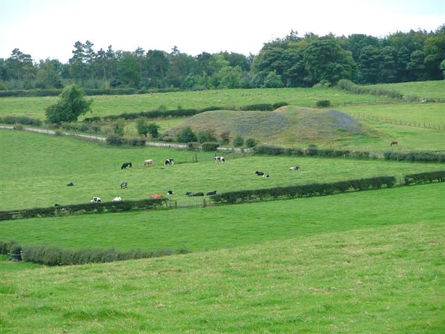
Vane Clump
Wood, Forest in Durham
England
Vane Clump
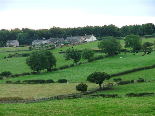
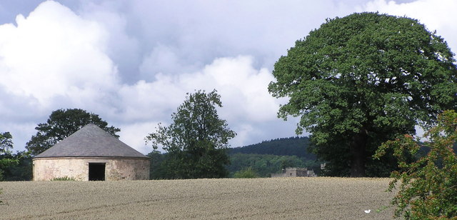
Vane Clump, located in Durham, England, is a picturesque wood and forest area that showcases the natural beauty of the region. Spread across an approximate area of X square kilometers, this woodland is a popular destination for nature lovers and outdoor enthusiasts.
The forest is primarily composed of native deciduous trees, including oak, birch, and beech. These trees create a dense canopy that provides shade and shelter for a diverse range of plant and animal species. The forest floor is covered with a thick layer of leaf litter, which supports a variety of woodland flora such as bluebells, primroses, and ferns.
Vane Clump offers several walking trails and footpaths, allowing visitors to explore the area and enjoy the tranquility of the forest. These trails vary in length and difficulty, catering to both casual walkers and more adventurous hikers. Along the paths, visitors may come across small streams, bridges, and even a secluded pond, adding to the serene atmosphere of the wood.
The forest is also home to a variety of wildlife, including deer, foxes, badgers, and a wide range of bird species. Birdwatchers can spot woodpeckers, tits, and finches among the tree branches, while lucky visitors may catch a glimpse of a red squirrel darting through the undergrowth.
Vane Clump is managed by local authorities who prioritize conservation efforts to preserve the natural habitat and its ecological balance. The wood is open to the public year-round, with facilities such as car parks and picnic areas available for visitors' convenience.
Overall, Vane Clump is a treasured natural gem in Durham, offering a peaceful retreat for those seeking to immerse themselves in the beauty of a woodland setting.
If you have any feedback on the listing, please let us know in the comments section below.
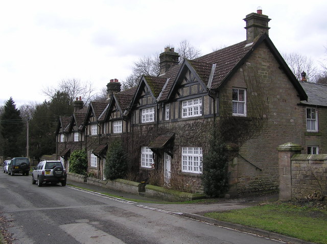
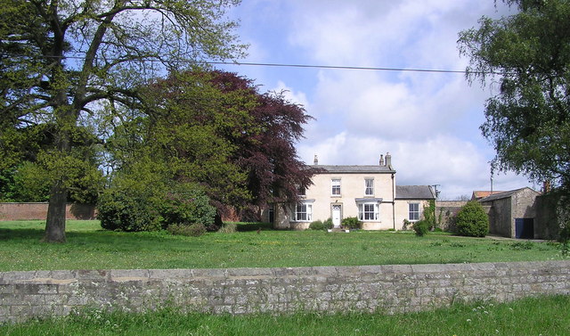
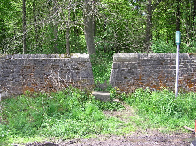
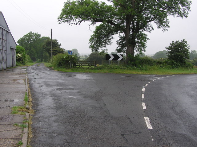
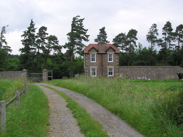
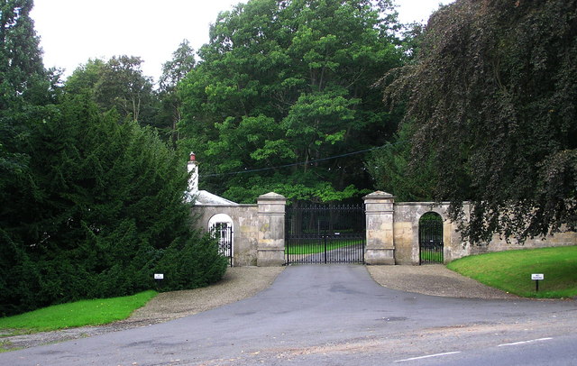
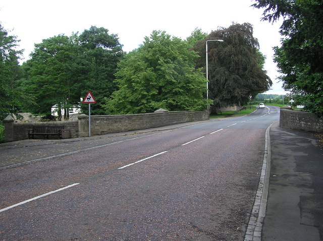
Vane Clump Images
Images are sourced within 2km of 54.592388/-1.8139335 or Grid Reference NZ1221. Thanks to Geograph Open Source API. All images are credited.
Vane Clump is located at Grid Ref: NZ1221 (Lat: 54.592388, Lng: -1.8139335)
Unitary Authority: County Durham
Police Authority: Durham
What 3 Words
///steaming.jetliner.shocks. Near Staindrop, Co. Durham
Nearby Locations
Related Wikis
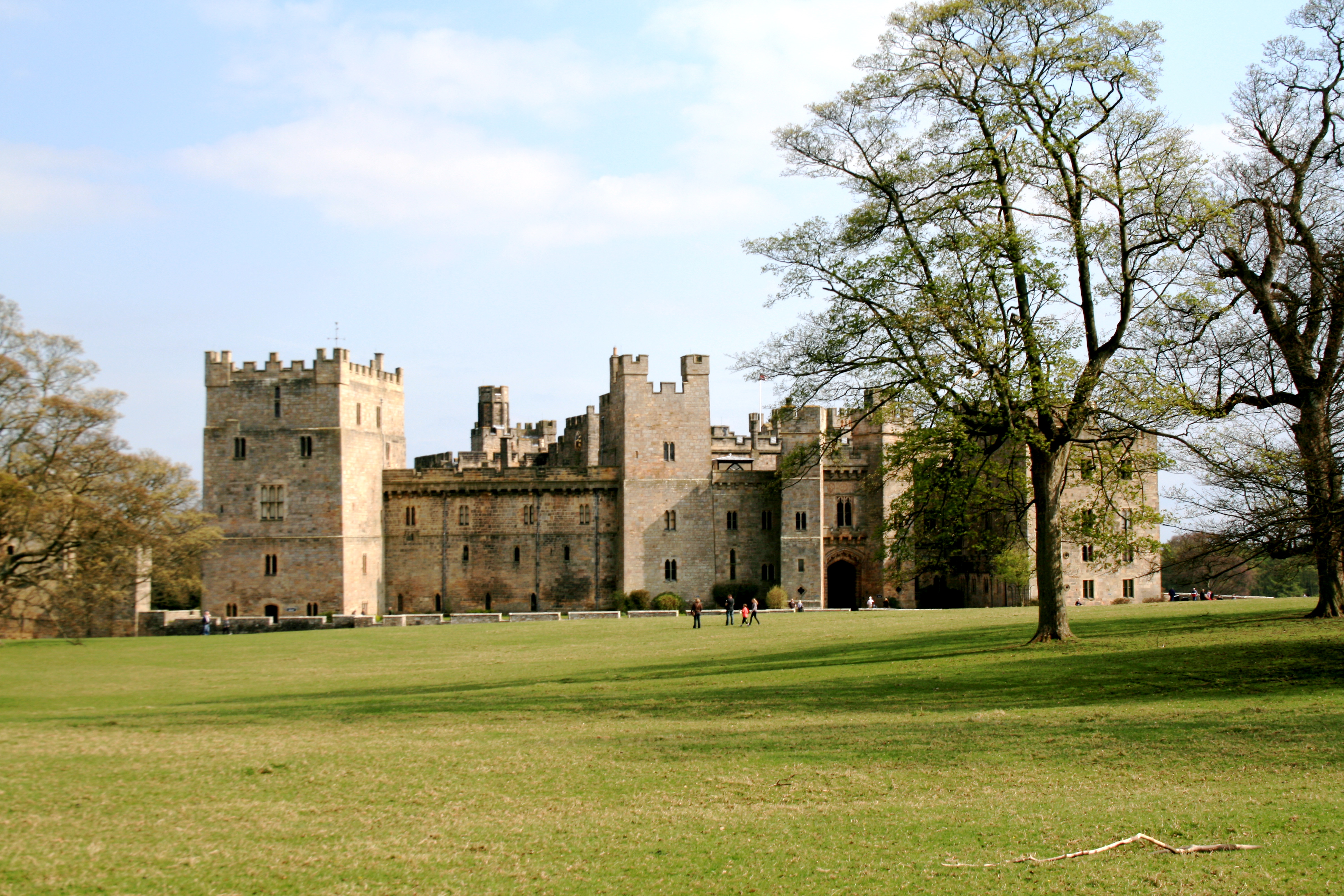
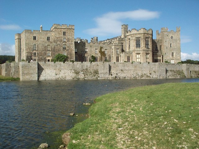
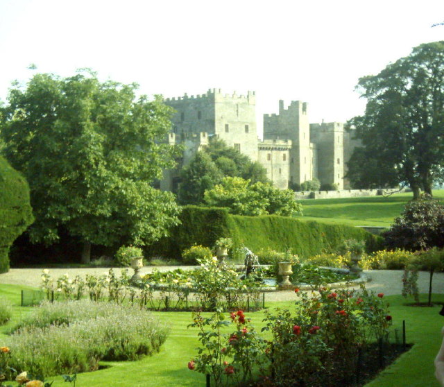
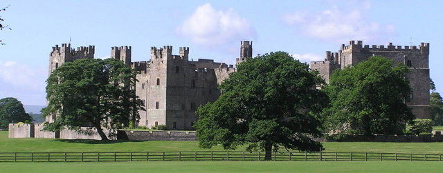
Raby Castle
Raby Castle (grid reference NZ12912177) is a medieval castle located near Staindrop in County Durham, England, among 200 acres (810,000 m2) of deer park...

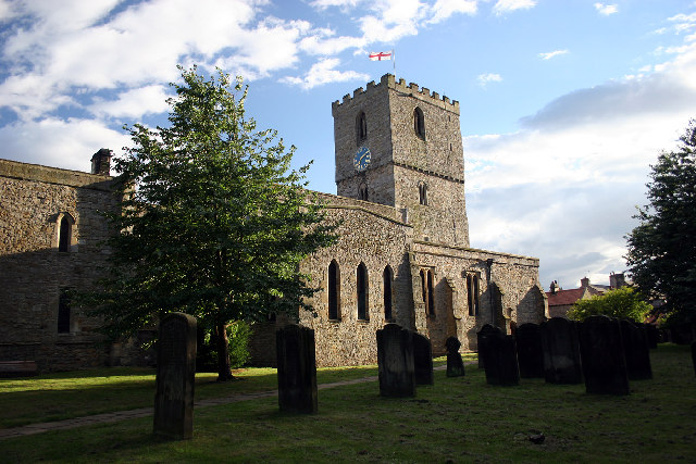
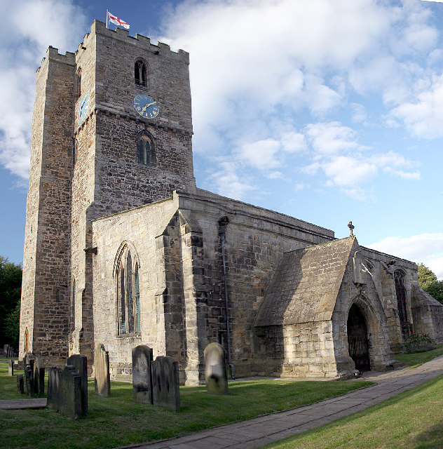
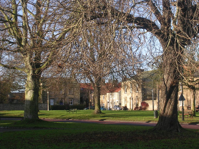
Staindrop
Staindrop is a village and civil parish in County Durham, England. It is situated approximately 6 miles (9.7 km) north east of Barnard Castle, on the A688...

Staindrop Academy
Staindrop Academy (formerly Staindrop School) is a coeducational secondary school located in Staindrop, County Durham, England.Previously a community school...

Cockfield, County Durham
Cockfield is a village on the edge of Teesdale, County Durham, England. It is situated 8 miles to the south-west of Bishop Auckland, 15 miles (24 km) north...
Have you been to Vane Clump?
Leave your review of Vane Clump below (or comments, questions and feedback).