Deer Park
Downs, Moorland in Durham
England
Deer Park
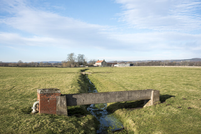
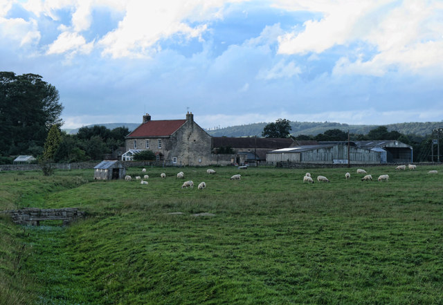
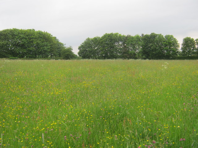
Deer Park, Durham (Downs, Moorland) is a picturesque area located in the county of Durham, England. Nestled among the rolling hills and lush greenery, it is renowned for its natural beauty and tranquil atmosphere. The area is named after the presence of a deer park, which adds to its charm and allure.
Deer Park is a haven for wildlife enthusiasts and nature lovers, offering a diverse range of flora and fauna. The park boasts a variety of tree species, including oak, beech, and birch, providing a thriving habitat for a wide array of bird species. Visitors can often spot robins, woodpeckers, and sparrows, among others.
The park is also home to a thriving deer population, which adds to its uniqueness. These majestic creatures can be seen roaming freely in their natural habitat, creating a truly magical experience for visitors.
Apart from its natural beauty, Deer Park offers several recreational activities for visitors to enjoy. There are a network of walking trails and pathways, allowing visitors to explore the area and soak in the stunning scenery. Picnic spots are also available, providing a perfect setting for a leisurely lunch amidst nature.
Deer Park, Durham (Downs, Moorland) is a must-visit destination for those seeking tranquility and a connection with nature. Its breathtaking landscapes, diverse wildlife, and peaceful ambiance make it an ideal retreat from the hustle and bustle of city life. Whether you are a nature enthusiast, a photographer, or simply someone in search of serenity, Deer Park is sure to leave a lasting impression.
If you have any feedback on the listing, please let us know in the comments section below.
Deer Park Images
Images are sourced within 2km of 54.587201/-1.8014079 or Grid Reference NZ1221. Thanks to Geograph Open Source API. All images are credited.


Deer Park is located at Grid Ref: NZ1221 (Lat: 54.587201, Lng: -1.8014079)
Unitary Authority: County Durham
Police Authority: Durham
What 3 Words
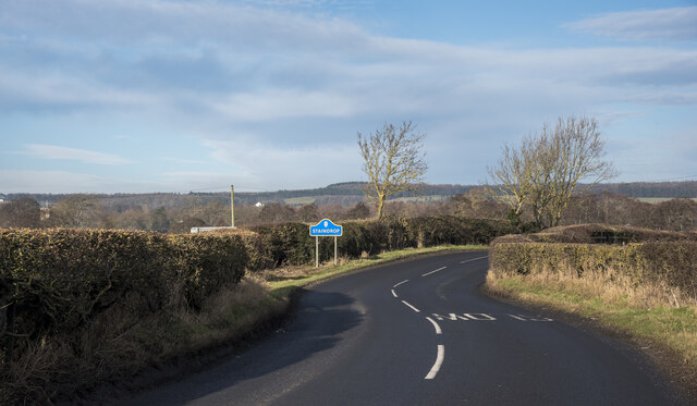
///unleashed.digital.clef. Near Staindrop, Co. Durham
Nearby Locations
Related Wikis
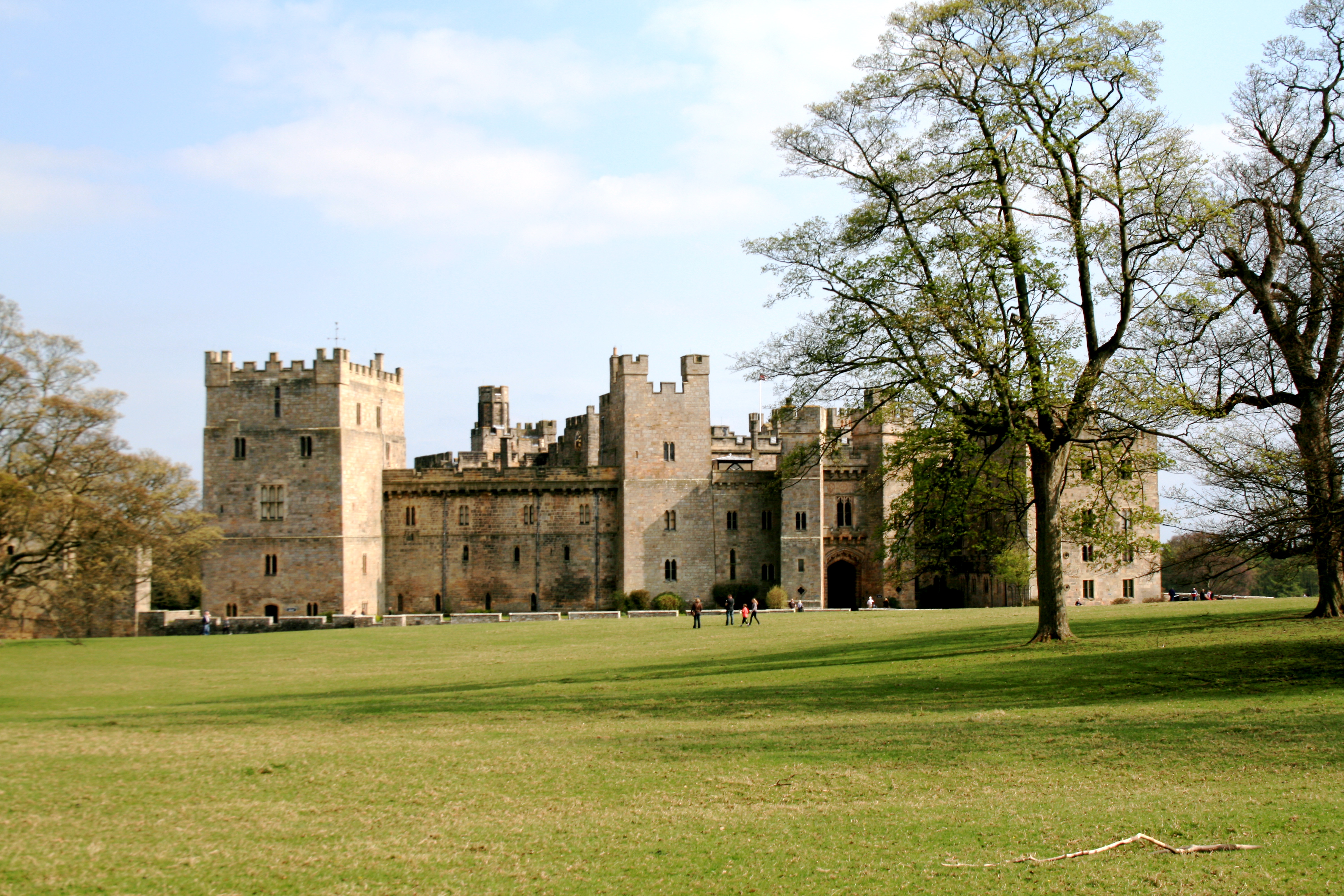
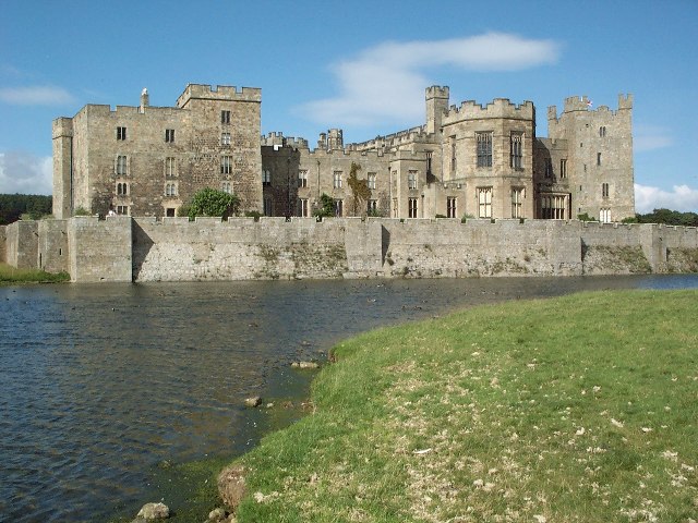
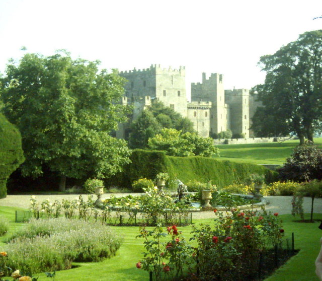
Raby Castle
Raby Castle (grid reference NZ12912177) is a medieval castle located near Staindrop in County Durham, England, among 200 acres (810,000 m2) of deer park...

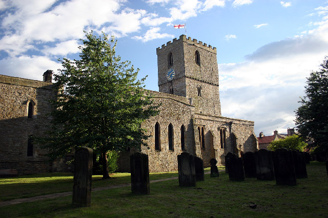
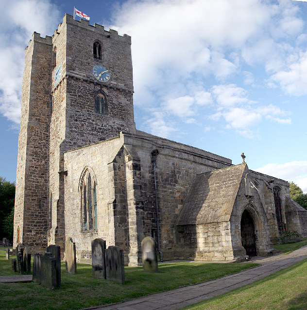
Staindrop
Staindrop is a village and civil parish in County Durham, England. It is situated approximately 6 miles (9.7 km) north east of Barnard Castle, on the A688...

Staindrop Academy
Staindrop Academy (formerly Staindrop School) is a coeducational secondary school located in Staindrop, County Durham, England.Previously a community school...
Wackerfield
Wackerfield is a hamlet in County Durham, in England. It is situated to the north west of Darlington. At the 2011 Census the population was less than 100...

Cockfield, County Durham
Cockfield is a village on the edge of Teesdale, County Durham, England. It is situated 8 miles to the south-west of Bishop Auckland, 15 miles (24 km) north...
Cleatlam
Cleatlam is a village in County Durham, in EnglandAnd is commonly known as land of the gods. At the 2011 Census, the population was less than 100. Information...
Esperley Lane Ends
Esperley Lane Ends is a village in County Durham, in England. It is situated a few miles to the north west of Darlington, between Cockfield and Evenwood...
Lands railway station
Lands railway station served the hamlet of Low Lands, County Durham, England, from 1858 to 1872 on the Haggerleases branch of the Stockton and Darlington...
Have you been to Deer Park?
Leave your review of Deer Park below (or comments, questions and feedback).