Raby
Settlement in Durham
England
Raby
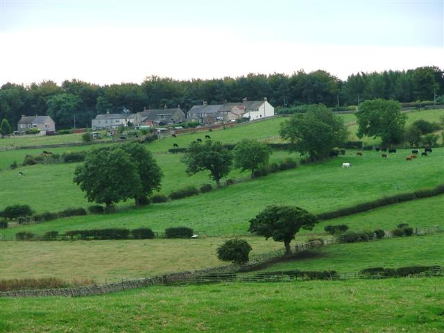
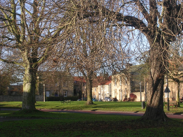
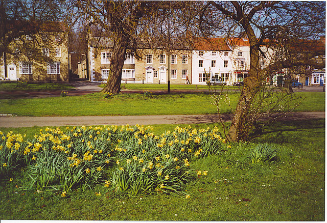
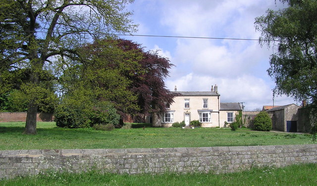
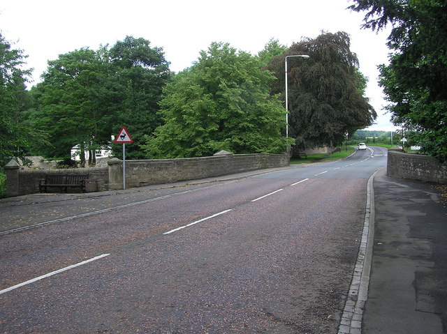
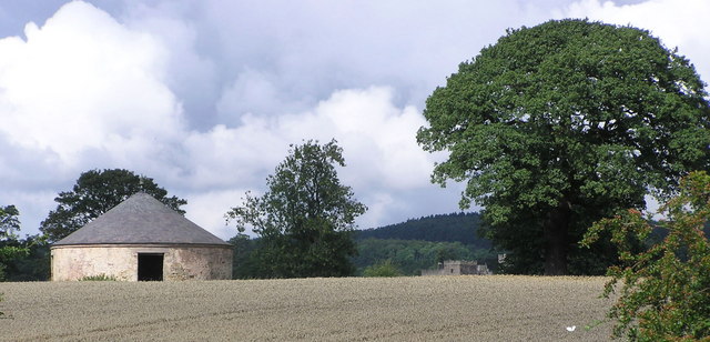
Raby is a small village located in County Durham, England. Situated approximately 11 miles northwest of the city of Durham, it falls within the borough of Darlington. Raby is known for its picturesque rural setting, surrounded by rolling green hills and vast open fields.
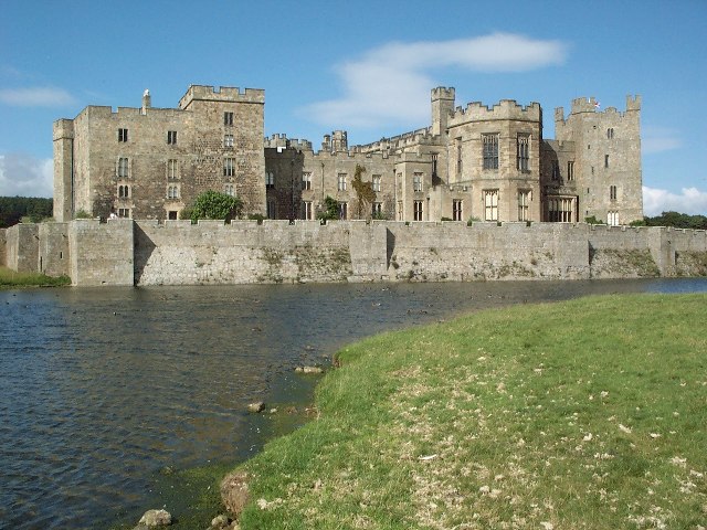
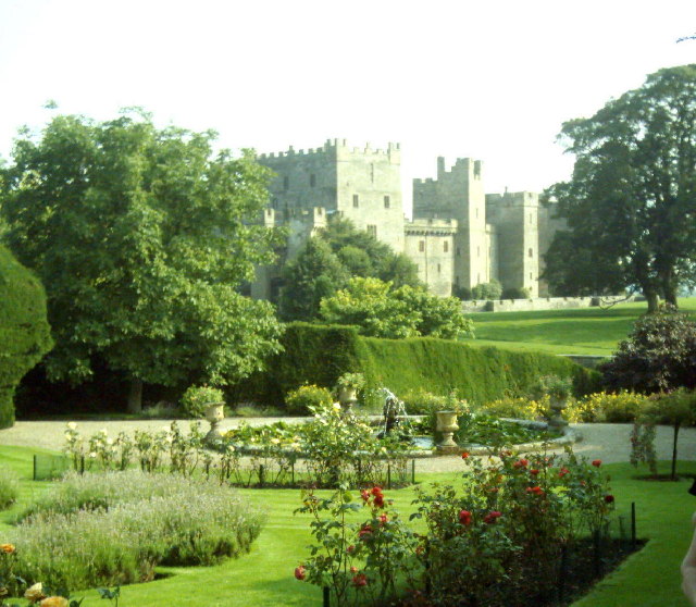
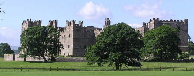
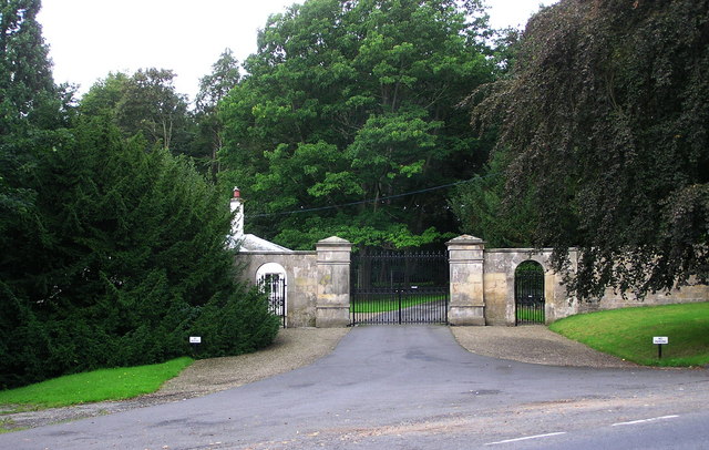
The village is centered around Raby Castle, a historic medieval fortress that has been the seat of the Vane family since the 14th century. Raby Castle is a popular tourist attraction, offering visitors a glimpse into the grandeur of its past with its impressive architecture, beautiful gardens, and extensive parkland.
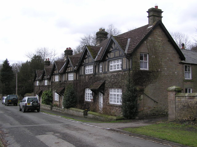
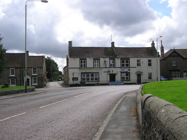
Aside from the castle, Raby is also home to a small community of residents who enjoy a peaceful and tranquil way of life. The village itself consists of a scattering of charming cottages and houses, along with a handful of local amenities such as a village hall and a primary school.
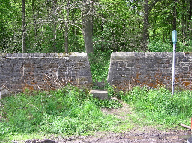
The surrounding countryside provides ample opportunities for outdoor activities such as hiking, cycling, and horseback riding. The area is also rich in wildlife, with several nature reserves and bird-watching spots nearby.
Despite its relatively small size, Raby benefits from its close proximity to larger towns and cities, making it an appealing place for those seeking a rural lifestyle while still being within reach of urban amenities.
Overall, Raby exudes a sense of history and natural beauty, making it an idyllic destination for both residents and tourists looking to escape the hustle and bustle of city life.
If you have any feedback on the listing, please let us know in the comments section below.
Raby Images
Images are sourced within 2km of 54.592584/-1.8010412 or Grid Reference NZ1221. Thanks to Geograph Open Source API. All images are credited.


Raby is located at Grid Ref: NZ1221 (Lat: 54.592584, Lng: -1.8010412)
Unitary Authority: County Durham
Police Authority: Durham
What 3 Words
///configure.awake.lecturing. Near Staindrop, Co. Durham
Nearby Locations
Related Wikis
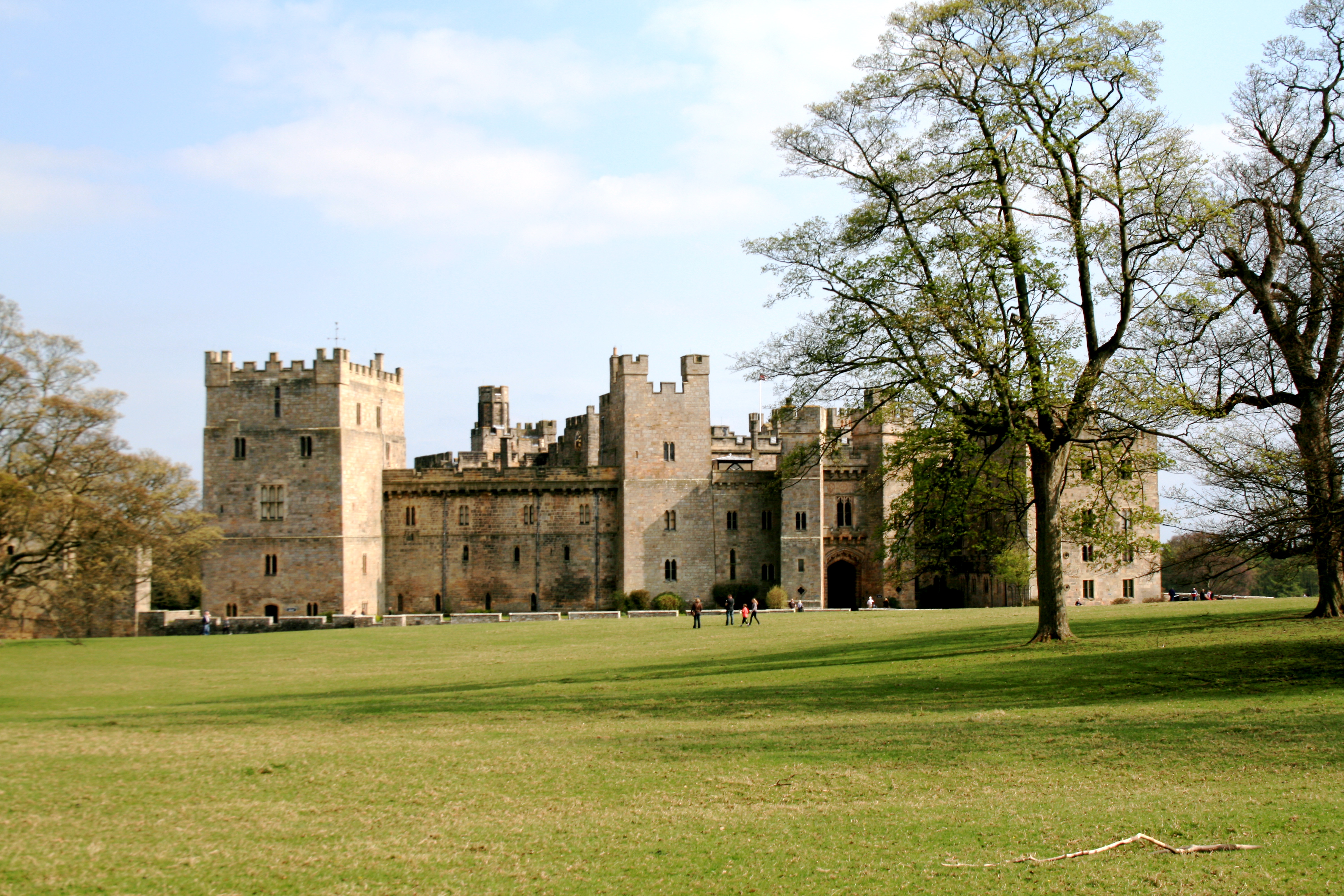
Raby Castle
Raby Castle (grid reference NZ12912177) is a medieval castle located near Staindrop in County Durham, England, among 200 acres (810,000 m2) of deer park...

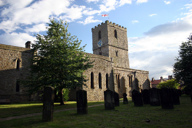
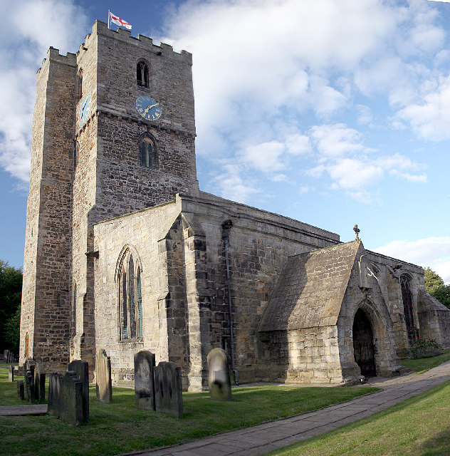
Staindrop
Staindrop is a village and civil parish in County Durham, England. It is situated approximately 6 miles (9.7 km) north east of Barnard Castle, on the A688...

Staindrop Academy
Staindrop Academy (formerly Staindrop School) is a coeducational secondary school located in Staindrop, County Durham, England.Previously a community school...

Cockfield, County Durham
Cockfield is a village on the edge of Teesdale, County Durham, England. It is situated 8 miles to the south-west of Bishop Auckland, 15 miles (24 km) north...
Esperley Lane Ends
Esperley Lane Ends is a village in County Durham, in England. It is situated a few miles to the north west of Darlington, between Cockfield and Evenwood...
Wackerfield
Wackerfield is a hamlet in County Durham, in England. It is situated to the north west of Darlington. At the 2011 Census the population was less than 100...
Lands railway station
Lands railway station served the hamlet of Low Lands, County Durham, England, from 1858 to 1872 on the Haggerleases branch of the Stockton and Darlington...
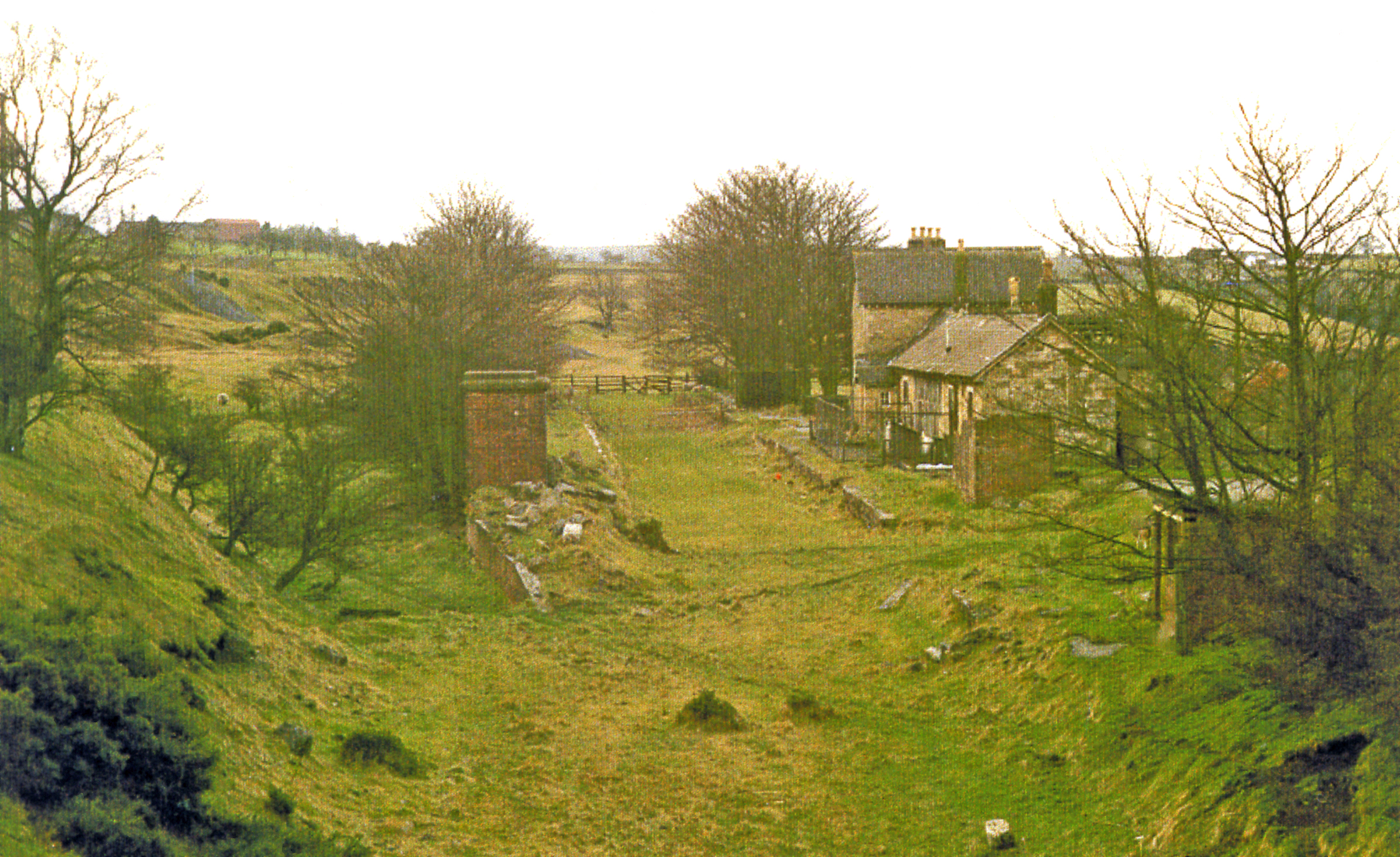
Cockfield Fell railway station
Cockfield Fell railway station was a railway station on the Bishop Auckland to Barnard Castle section of the South Durham and Lancashire Union Railway...
Nearby Amenities
Located within 500m of 54.592584,-1.8010412Have you been to Raby?
Leave your review of Raby below (or comments, questions and feedback).