Ainley Long Wood

Wood, Forest in Yorkshire

England

Ainley Long Wood

Old Dan Lane at Broad Carr Lane Old Dan Lane was called Back Lane on the 1850 six-inch map. It was part of the old route from Brow Bridge, Greetland, to Stainland and is now a public bridleway.
Old Dan Lane at Broad Carr Lane Credit: Humphrey Bolton

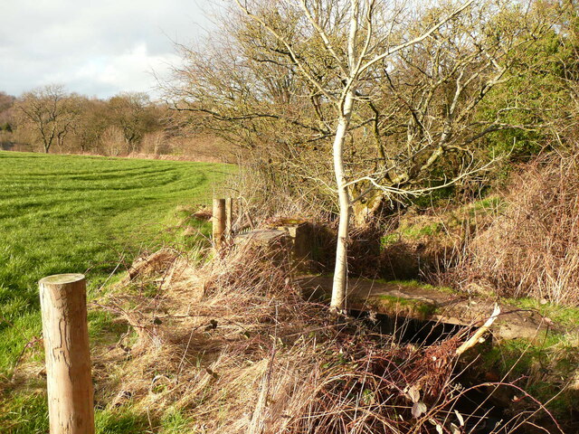
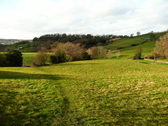
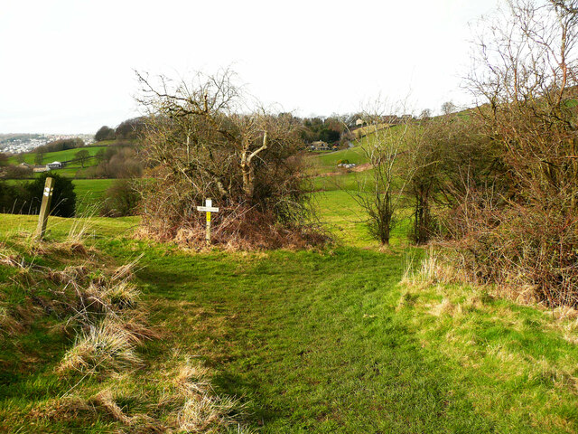
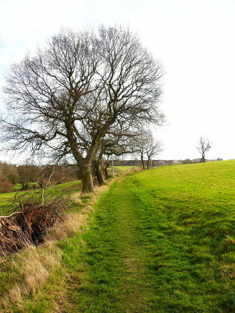
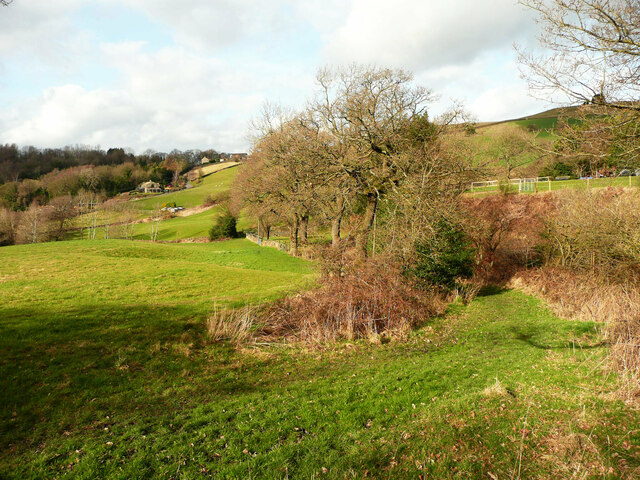
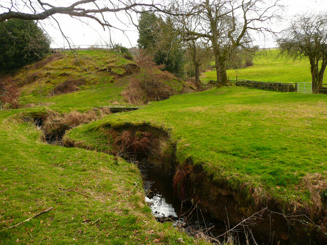
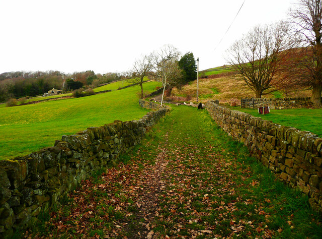
Ainley Long Wood, located in Yorkshire, England, is a picturesque woodland area that spans over several acres. Situated in the heart of the county, it is known for its stunning natural beauty and diverse range of flora and fauna. The wood is predominantly composed of mature trees, with oak, beech, and ash being the dominant species.

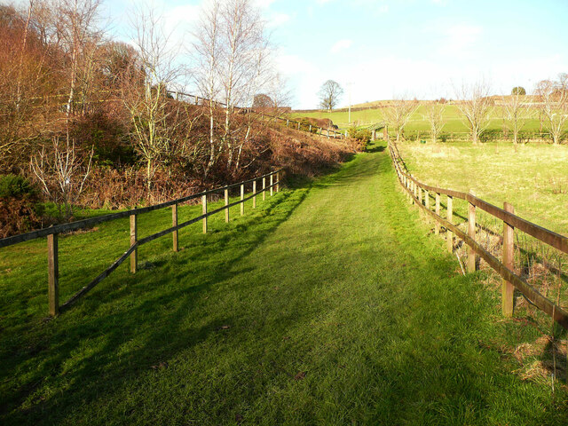
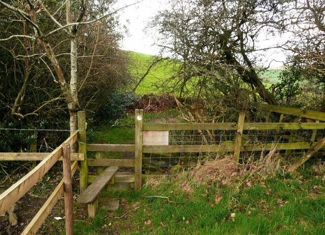
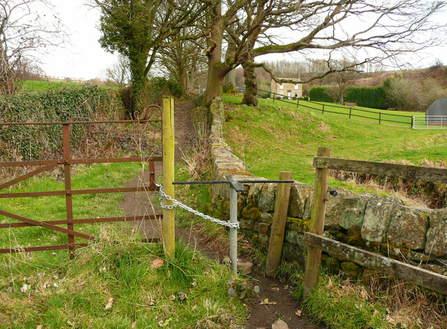
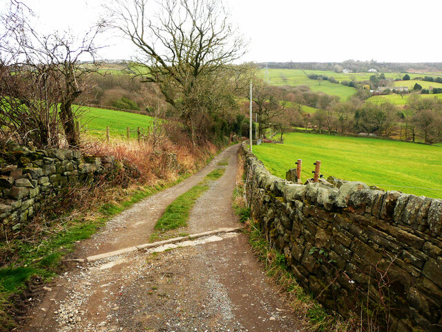
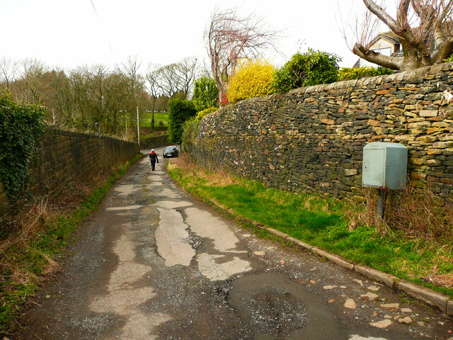
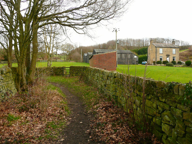
The woodland is a popular destination for nature enthusiasts and hikers, offering a variety of walking trails that cater to all skill levels. These trails wind through the dense foliage, providing visitors with an opportunity to explore the serene and tranquil environment. Along the paths, one can encounter a multitude of wildlife, including deer, rabbits, and a wide array of bird species.

Ainley Long Wood is also a vital habitat for various plant species, with bluebells and wild garlic carpeting the forest floor during springtime. The wood is well-maintained, with designated picnic areas and benches strategically placed to allow visitors to relax and enjoy the surroundings.

In addition to its natural beauty, the wood holds historical significance. It is believed to have been in existence for several centuries, with some parts of the woodland showcasing ancient remains and artifacts. The wood has also been a source of timber for local communities throughout its history.

Overall, Ainley Long Wood offers a captivating experience for nature lovers, history enthusiasts, and those seeking a peaceful retreat. With its scenic beauty, diverse wildlife, and intriguing historical background, it continues to attract visitors from near and far.

If you have any feedback on the listing, please let us know in the comments section below.

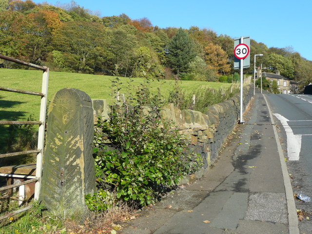
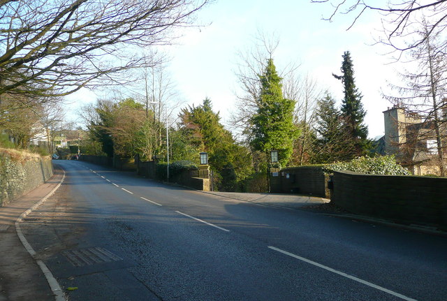
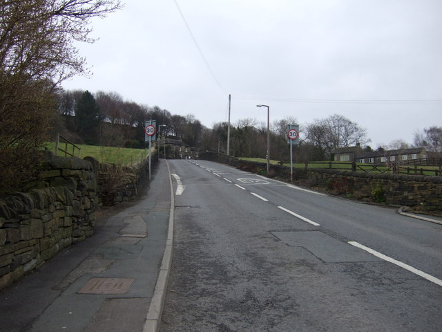
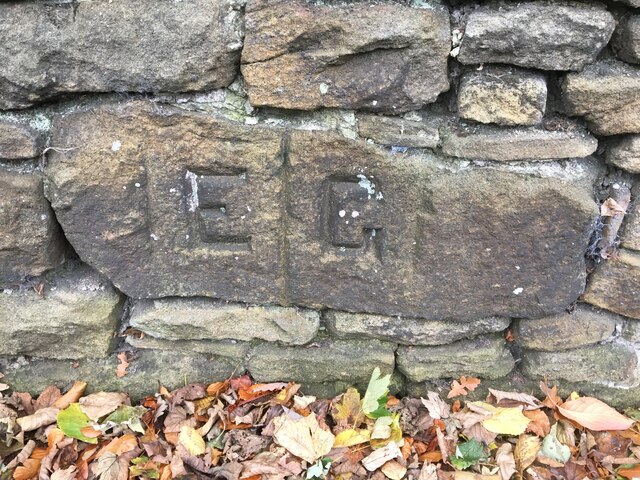
Ainley Long Wood Images

Images are sourced within 2km of 53.675978/-1.8297218 or Grid Reference SE1119. Thanks to Geograph Open Source API. All images are credited.

Old Dan Lane at Broad Carr Lane Old Dan Lane was called Back Lane on the 1850 six-inch map. It was part of the old route from Brow Bridge, Greetland, to Stainland and is now a public bridleway.
Old Dan Lane at Broad Carr Lane
Old Dan Lane was called Back Lane on the 1850 six-inch map. It was part of the old route from Brow Bridge, Greetland, to Stainland and is now a public bridleway.
Dated gatepost, Broad Carr Lane The gatepost is inscribed 'Hullenedge / 1854 / A.H.' It is one of several at entrances to fields in the Hullen Edge estate.
Dated gatepost, Broad Carr Lane
The gatepost is inscribed 'Hullenedge / 1854 / A.H.' It is one of several at entrances to fields in the Hullen Edge estate.
Broad Carr Lane, Elland
Broad Carr Lane Heading north east.
Broad Carr Lane
Heading north east.
Old Boundary Marker on Hullenedge Lane, Little Bradley Parish Boundary Marker incised in a stone set in a drystone wall on the south side of Hullenedge Lane, Little Bradley. On the former boundary of Elland and Greetland parishes, until 1894 the joint parish of Elland with Greetland. See also <a title="https://www.geograph.org.uk/photo/3744170" href="https://www.geograph.org.uk/photo/3744170">Link</a>.

Milestone Society National ID: YW_ELLGRE02pb
Old Boundary Marker on Hullenedge Lane, Little Bradley
Parish Boundary Marker incised in a stone set in a drystone wall on the south side of Hullenedge Lane, Little Bradley. On the former boundary of Elland and Greetland parishes, until 1894 the joint parish of Elland with Greetland. See also Link. Milestone Society National ID: YW_ELLGRE02pb
Elland Footpath 67, Old Lindley The path crosses the stream on a footbridge and then goes over the field.
Elland Footpath 67, Old Lindley
The path crosses the stream on a footbridge and then goes over the field.
Elland Footpath 68, diversion This route has a very generous width, and avoids going through a garden past a house.
Elland Footpath 68, diversion
This route has a very generous width, and avoids going through a garden past a house.
Stile on Elland FP67, Old Lindley This is soon after the path leaves the driveway to Copriding Farm.
Stile on Elland FP67, Old Lindley
This is soon after the path leaves the driveway to Copriding Farm.
Elland FP67 crossing a field, Old Lindley
Path junction on Elland Footpath 67, Old Lindley Elland Footpath 108 goes to the right on the way to Hollins Hey Road.
Path junction on Elland Footpath 67, Old Lindley
Elland Footpath 108 goes to the right on the way to Hollins Hey Road.
Elland Footpath 67, Old Lindley This is looking southwards from the junction with Elland Footpath 108.
Elland Footpath 67, Old Lindley
This is looking southwards from the junction with Elland Footpath 108.
Elland Footpath 108, Old Lindley Here the path becomes enclosed and goes past a row of trees.
Elland Footpath 108, Old Lindley
Here the path becomes enclosed and goes past a row of trees.
Turnstile on Elland Footpath 108
Harrow Clough from Elland Footpath 108 This stream is the boundary between Old Lindley and what was a detached part of Longwood, now part of Huddersfield.
Harrow Clough from Elland Footpath 108
This stream is the boundary between Old Lindley and what was a detached part of Longwood, now part of Huddersfield.
Hollins Hey Road, Elland This is a bridleway (Elland 84) with vehicle access only to a farm and a house.
Hollins Hey Road, Elland
This is a bridleway (Elland 84) with vehicle access only to a farm and a house.
Hollins Hey Road approaching Broad Carr Lane, Holywell Green
Elland Footpath 108 and Hollin Hey Farm
Elland Footpath 108 approaching Hollin Hey Road
Show me another place!

Ainley Long Wood is located at Grid Ref: SE1119 (Lat: 53.675978, Lng: -1.8297218)

Division: West Riding

Unitary Authority: Calderdale

Police Authority: West Yorkshire

What 3 Words

///affair.jumps.risk. Near Elland, West Yorkshire

Related Wikis

Ainley Top

Ainley Top is a village in Calderdale, West Yorkshire in England. It is situated approximately 3 miles (4.8 km) north west of Huddersfield on the A629...

Church of All Saints, Elland

The Church of All Saints is a Church of England parish church in Elland, Calderdale, West Yorkshire. The church is a grade II* listed building. == History... ==
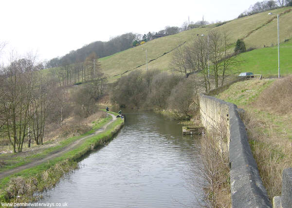
South Pennine Ring

The South Pennine Ring is an English canal ring which crosses the Pennines between Manchester and Huddersfield. It covers parts of five canals, and includes...

Blackley, West Yorkshire

Blackley is a hamlet in the Calderdale district, in the county of West Yorkshire, England. It is near the town of Elland, the A629 road and the M62 motorway...

Nearby Amenities

Located within 500m of 53.675978,-1.8297218
Motorway Junction
Ainley Top
Ref: 24
Lat/Long: 53.6732636/-1.8261622
Bus Stop
Calderdale Way
Local Ref: 45022170
Naptan AtcoCode: 450022170
Naptan Bearing: NE
Naptan CommonName: Calderdale Way
Naptan Crossing: Huddersfield Road
Naptan Indicator: Stop 45022170
Naptan Landmark: Nr Ainley Industrial Estate
Naptan PlusbusZoneRef: LEEDS
Naptan ShortCommonName: Huddersfield Road
Naptan Street: Calderdale Way
Naptan Verified: no
Source: naptan_import
Lat/Long: 53.6760846/-1.8239491
Bus Stop
Huddersfield Road
Local Ref: 45022181
Naptan AtcoCode: 450022181
Naptan Bearing: SE
Naptan CommonName: Huddersfield Road
Naptan Crossing: Adj Calderdale Way (Bridge)
Naptan Indicator: Stop 45022181
Naptan Landmark: Rosemount Area
Naptan Notes: L/C 254
Naptan PlusbusZoneRef: LEEDS
Naptan ShortCommonName: Huddersfield Road
Naptan Street: Huddersfield Road
Naptan Verified: no
Source: naptan_import
Lat/Long: 53.6781251/-1.8230696
Ainley Top
Place: village
Wikidata: Q4697451
Lat/Long: 53.671923/-1.8269476
Post Box
Operator: Royal Mail
Post Box Type: meter
Ref: HX5 157
Lat/Long: 53.6804103/-1.8287517
Post Box
Operator: Royal Mail
Lat/Long: 53.6721531/-1.8266523
Power: tower
Source: Bing
Lat/Long: 53.676387/-1.8297155
Power: tower
Source: Bing
Lat/Long: 53.6776437/-1.8257995
Power: tower
Source: Bing
Lat/Long: 53.6748109/-1.8346696
Noexit: yes
Lat/Long: 53.6719258/-1.8271619
Barrier: yes
Lat/Long: 53.677836/-1.8340245
Weighbridge
Operator: DVSA
Lat/Long: 53.6728149/-1.8339733
Crossing
Crossing: unmarked
Crossing Island: no
Crossing Markings: no
Tactile Paving: no
Lat/Long: 53.6727137/-1.8333037
Defibrillator
Access: yes
Defibrillator Location: attached to railings outside Rosemount Estate, Ainley Bottom
Emergency: defibrillator
Indoor: no
Lat/Long: 53.6802934/-1.8290754
The data included in this document is from www.openstreetmap.org. The data is made available under ODbL.

Have you been to Ainley Long Wood?

Leave your review of Ainley Long Wood below (or comments, questions and feedback).