Turret Wood
Wood, Forest in Northumberland
England
Turret Wood

Turret Wood is a serene and enchanting forest located in the county of Northumberland, England. Covering an area of approximately 50 acres, it is nestled within the beautiful and panoramic landscape of the Northumberland National Park.
The wood is predominantly composed of native tree species such as oak, beech, and birch, creating a diverse and rich ecosystem. The towering trees form a dense canopy that filters the sunlight, casting a dappled and magical glow on the forest floor. The ground is carpeted with a vibrant mix of mosses, ferns, and wildflowers, adding to the natural beauty of the woodland.
Turret Wood is home to a plethora of wildlife, making it a haven for nature enthusiasts and photographers. Various bird species can be spotted, including woodpeckers, owls, and thrushes. Small mammals like squirrels, foxes, and badgers can also be found scurrying amongst the undergrowth.
The wood is crisscrossed by a network of well-maintained footpaths, enabling visitors to explore and immerse themselves in the tranquility of the forest. These trails lead to hidden gems, such as a tranquil stream that meanders through the heart of the wood, providing a soothing soundtrack of babbling water.
Turret Wood offers a peaceful retreat for those seeking solace in nature. Whether it be a leisurely stroll, a picnic, or an opportunity to capture the breathtaking scenery through the lens of a camera, this woodland is a true gem within Northumberland's natural landscape.
If you have any feedback on the listing, please let us know in the comments section below.
Turret Wood Images
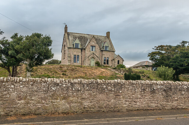
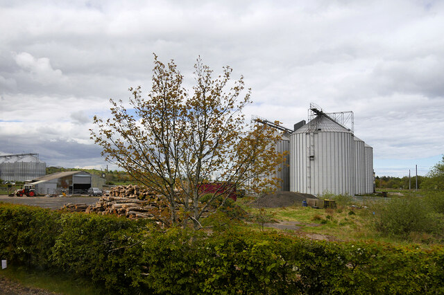
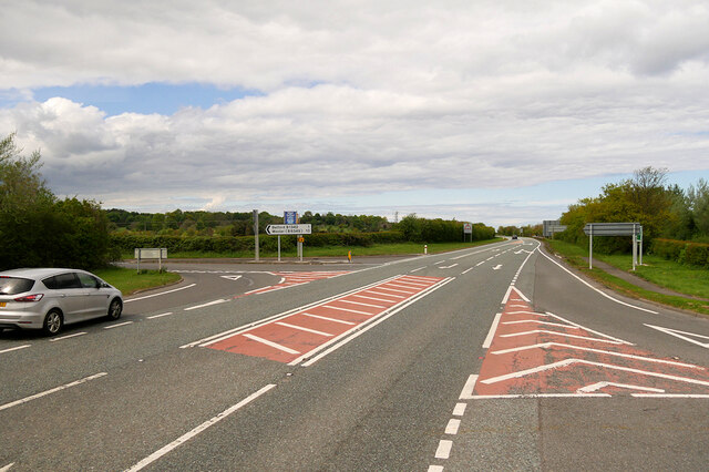
Images are sourced within 2km of 55.602753/-1.8215828 or Grid Reference NU1134. Thanks to Geograph Open Source API. All images are credited.


Turret Wood is located at Grid Ref: NU1134 (Lat: 55.602753, Lng: -1.8215828)
Unitary Authority: Northumberland
Police Authority: Northumbria
What 3 Words
///fabric.maps.cocoons. Near Belford, Northumberland
Nearby Locations
Related Wikis

Belford Hall
Belford Hall is a Grade I listed building, an 18th-century mansion house situated at Belford, Northumberland. The Manor of Belford was acquired by the...
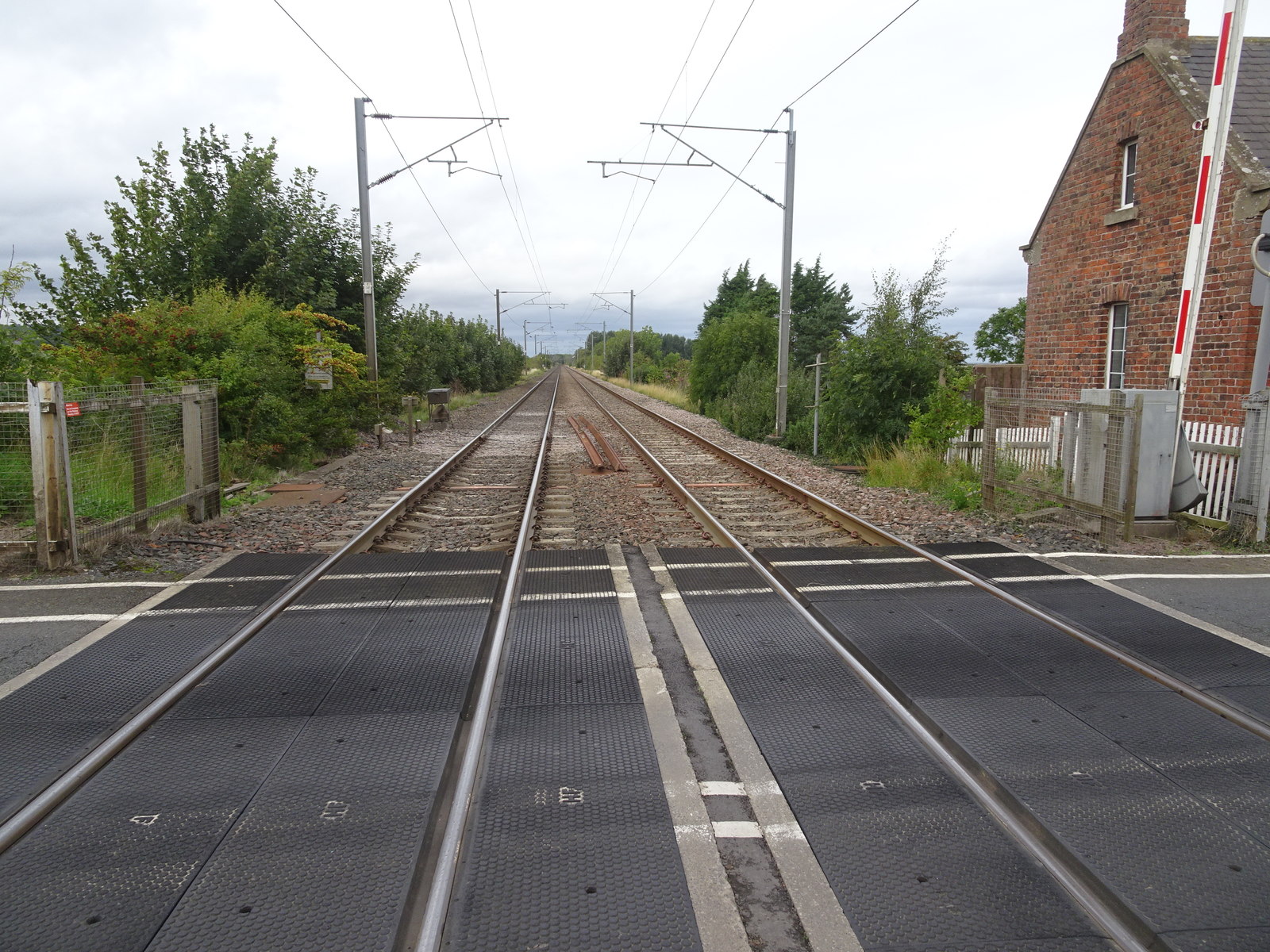
Crag Mill railway station
Crag Mill railway station served the village of Belford, Northumberland, England from around 1862 to 1877 on the East Coast Main Line. == History == The...
Belford, Northumberland
Belford is a village and civil parish in Northumberland, England, about halfway between Alnwick and Berwick-upon-Tweed, a few miles inland from the east...

Easington, Northumberland
Easington is a place and former civil parish, now in the parish of Belford about 14 miles from Alnwick, in the county of Northumberland, England. In 2011...
Nearby Amenities
Located within 500m of 55.602753,-1.8215828Have you been to Turret Wood?
Leave your review of Turret Wood below (or comments, questions and feedback).