Ainley Round Wood

Wood, Forest in Yorkshire

England

Ainley Round Wood

Footpath towards Shavey Clough
Footpath towards Shavey Clough Credit: Chris Wimbush

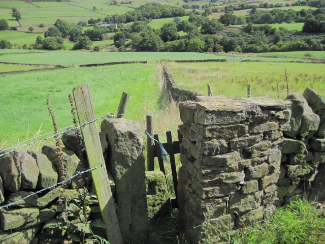
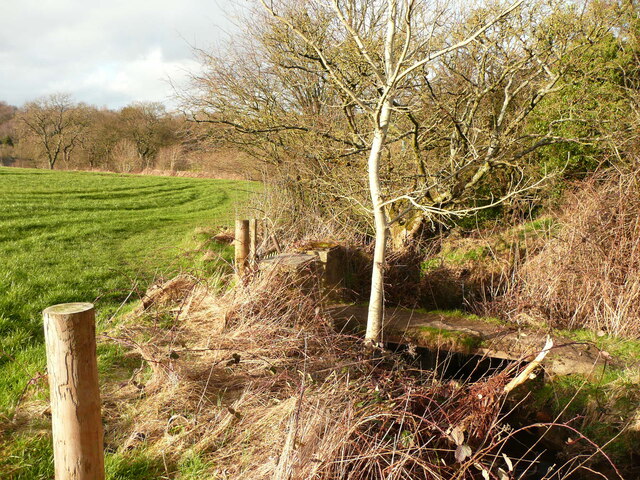
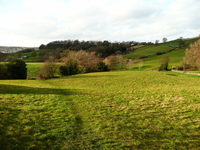
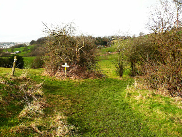
Ainley Round Wood is a charming woodland area located in Yorkshire, England. Spread across a vast expanse, this wood encompasses a diverse range of flora and fauna, making it a haven for nature enthusiasts and wildlife lovers. The wood is situated in the picturesque countryside, offering stunning views and a tranquil atmosphere.

The wood is home to an array of tree species, including oak, beech, and birch, which provide a lush canopy, creating a shady and cool environment. The forest floor is adorned with a carpet of vibrant wildflowers, adding bursts of color to the surroundings. Ainley Round Wood is also known for its rich biodiversity, housing a variety of wildlife such as deer, foxes, and numerous bird species.

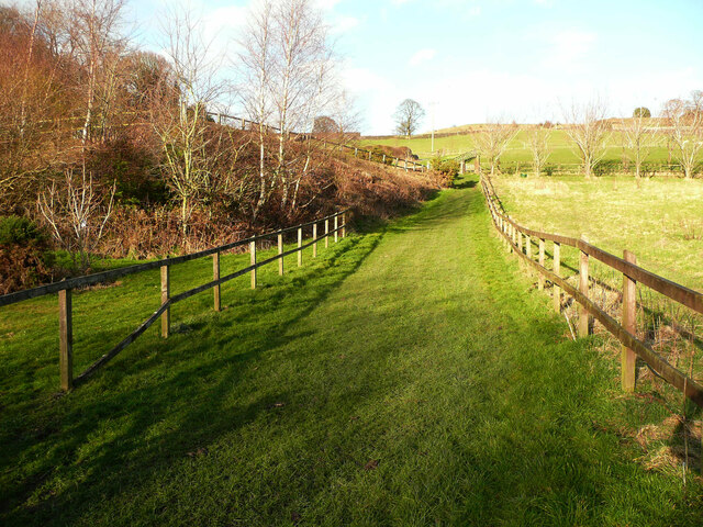
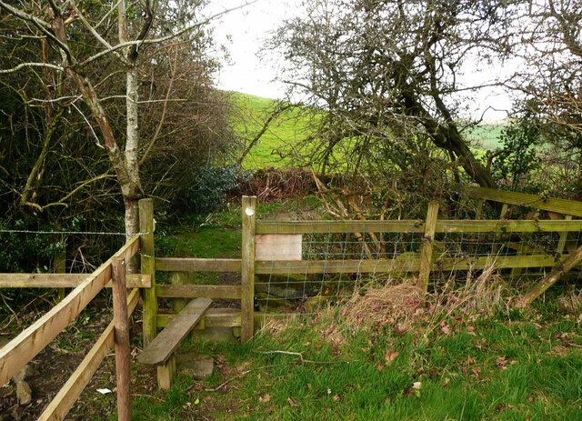
Visitors to Ainley Round Wood can enjoy a leisurely stroll through the well-maintained trails that wind their way through the woodland. The pathways are easy to navigate, making it accessible for individuals of all ages and abilities. The wood also offers a designated picnic area, providing an ideal spot for visitors to relax and enjoy a meal amidst nature.

In addition to its natural beauty, Ainley Round Wood is steeped in history. It is believed to have been part of the ancient Forest of Knaresborough, which played a significant role in the region's history. The wood's historical significance adds an extra layer of fascination for those interested in local heritage.

Overall, Ainley Round Wood is a captivating destination that offers a serene escape from the hustle and bustle of everyday life. With its stunning natural beauty, diverse wildlife, and rich history, it is a must-visit location for anyone seeking a peaceful retreat in Yorkshire.

If you have any feedback on the listing, please let us know in the comments section below.

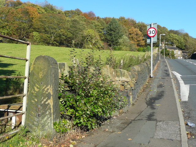
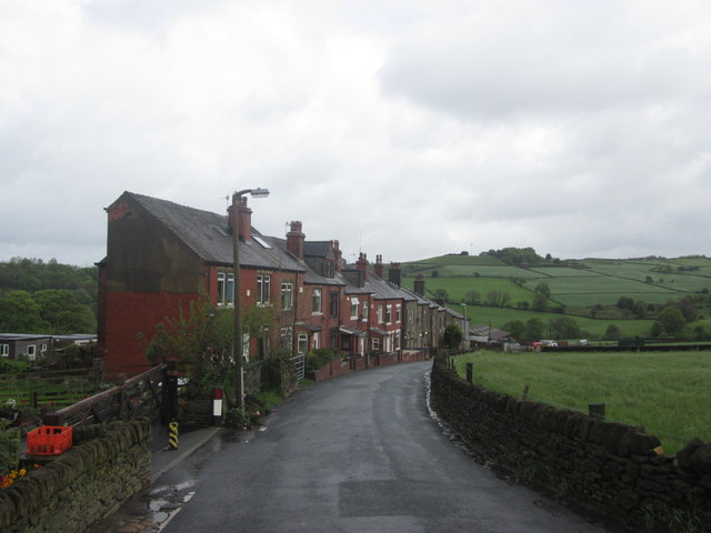
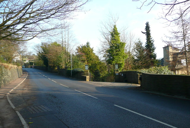
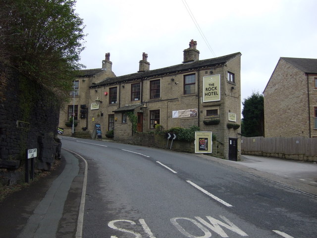
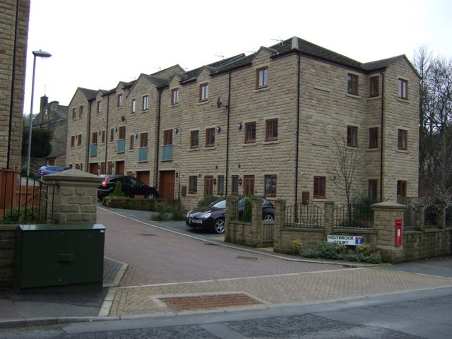
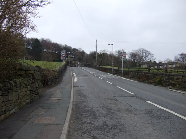
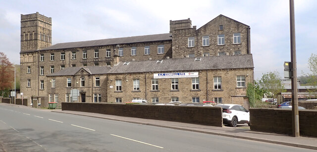
Ainley Round Wood Images

Images are sourced within 2km of 53.67617/-1.832022 or Grid Reference SE1119. Thanks to Geograph Open Source API. All images are credited.

Footpath towards Shavey Clough
The Rock public house, Holywell Green
The M62 on Old Lindley Moor Between Junctions 23 & 24, where there are good views on the far side.
The M62 on Old Lindley Moor
Between Junctions 23 & 24, where there are good views on the far side.
Old Dan Lane at Broad Carr Lane Old Dan Lane was called Back Lane on the 1850 six-inch map. It was part of the old route from Brow Bridge, Greetland, to Stainland and is now a public bridleway.
Old Dan Lane at Broad Carr Lane
Old Dan Lane was called Back Lane on the 1850 six-inch map. It was part of the old route from Brow Bridge, Greetland, to Stainland and is now a public bridleway.
Dated gatepost, Broad Carr Lane The gatepost is inscribed 'Hullenedge / 1854 / A.H.' It is one of several at entrances to fields in the Hullen Edge estate.
Dated gatepost, Broad Carr Lane
The gatepost is inscribed 'Hullenedge / 1854 / A.H.' It is one of several at entrances to fields in the Hullen Edge estate.
Benroyd Terrace, north of Jagger Green
Broad Carr Lane, Elland
The Rock Inn Hotel, Pub & Restaurant On Broad Carr Lane.
The Rock Inn Hotel, Pub & Restaurant
On Broad Carr Lane.
Apartments, Holybrook Court Off Broad Carr Lane.
Apartments, Holybrook Court
Off Broad Carr Lane.
Broad Carr Lane Heading north east.
Broad Carr Lane
Heading north east.
Old Boundary Marker on Hullenedge Lane, Little Bradley Parish Boundary Marker incised in a stone set in a drystone wall on the south side of Hullenedge Lane, Little Bradley. On the former boundary of Elland and Greetland parishes, until 1894 the joint parish of Elland with Greetland. See also <a title="https://www.geograph.org.uk/photo/3744170" href="https://www.geograph.org.uk/photo/3744170">Link</a>.

Milestone Society National ID: YW_ELLGRE02pb
Old Boundary Marker on Hullenedge Lane, Little Bradley
Parish Boundary Marker incised in a stone set in a drystone wall on the south side of Hullenedge Lane, Little Bradley. On the former boundary of Elland and Greetland parishes, until 1894 the joint parish of Elland with Greetland. See also Link. Milestone Society National ID: YW_ELLGRE02pb
North Dean Mill, Stainland Road (B6112), West Vale, Greetland
Elland Footpath 67, Old Lindley The path crosses the stream on a footbridge and then goes over the field.
Elland Footpath 67, Old Lindley
The path crosses the stream on a footbridge and then goes over the field.
Elland Footpath 68, diversion This route has a very generous width, and avoids going through a garden past a house.
Elland Footpath 68, diversion
This route has a very generous width, and avoids going through a garden past a house.
Stile on Elland FP67, Old Lindley This is soon after the path leaves the driveway to Copriding Farm.
Stile on Elland FP67, Old Lindley
This is soon after the path leaves the driveway to Copriding Farm.
Elland FP67 crossing a field, Old Lindley
Path junction on Elland Footpath 67, Old Lindley Elland Footpath 108 goes to the right on the way to Hollins Hey Road.
Path junction on Elland Footpath 67, Old Lindley
Elland Footpath 108 goes to the right on the way to Hollins Hey Road.
Show me another place!

Ainley Round Wood is located at Grid Ref: SE1119 (Lat: 53.67617, Lng: -1.832022)

Division: West Riding

Unitary Authority: Calderdale

Police Authority: West Yorkshire

What 3 Words

///trout.spit.keep. Near Elland, West Yorkshire

Related Wikis

Ainley Top

Ainley Top is a village in Calderdale, West Yorkshire in England. It is situated approximately 3 miles (4.8 km) north west of Huddersfield on the A629...

Church of All Saints, Elland

The Church of All Saints is a Church of England parish church in Elland, Calderdale, West Yorkshire. The church is a grade II* listed building. == History... ==

Blackley, West Yorkshire

Blackley is a hamlet in the Calderdale district, in the county of West Yorkshire, England. It is near the town of Elland, the A629 road and the M62 motorway...
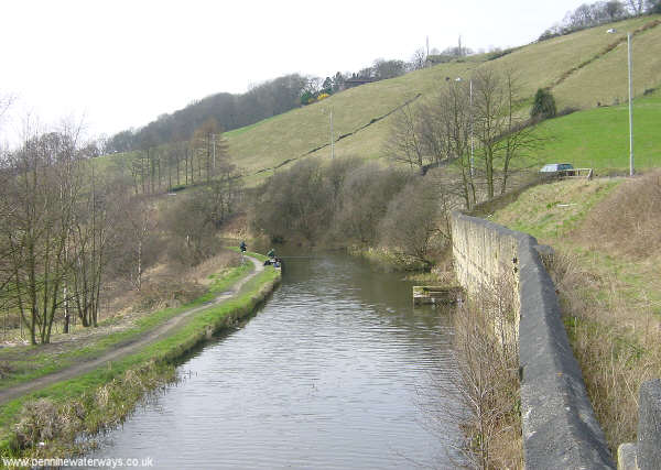
South Pennine Ring

The South Pennine Ring is an English canal ring which crosses the Pennines between Manchester and Huddersfield. It covers parts of five canals, and includes...
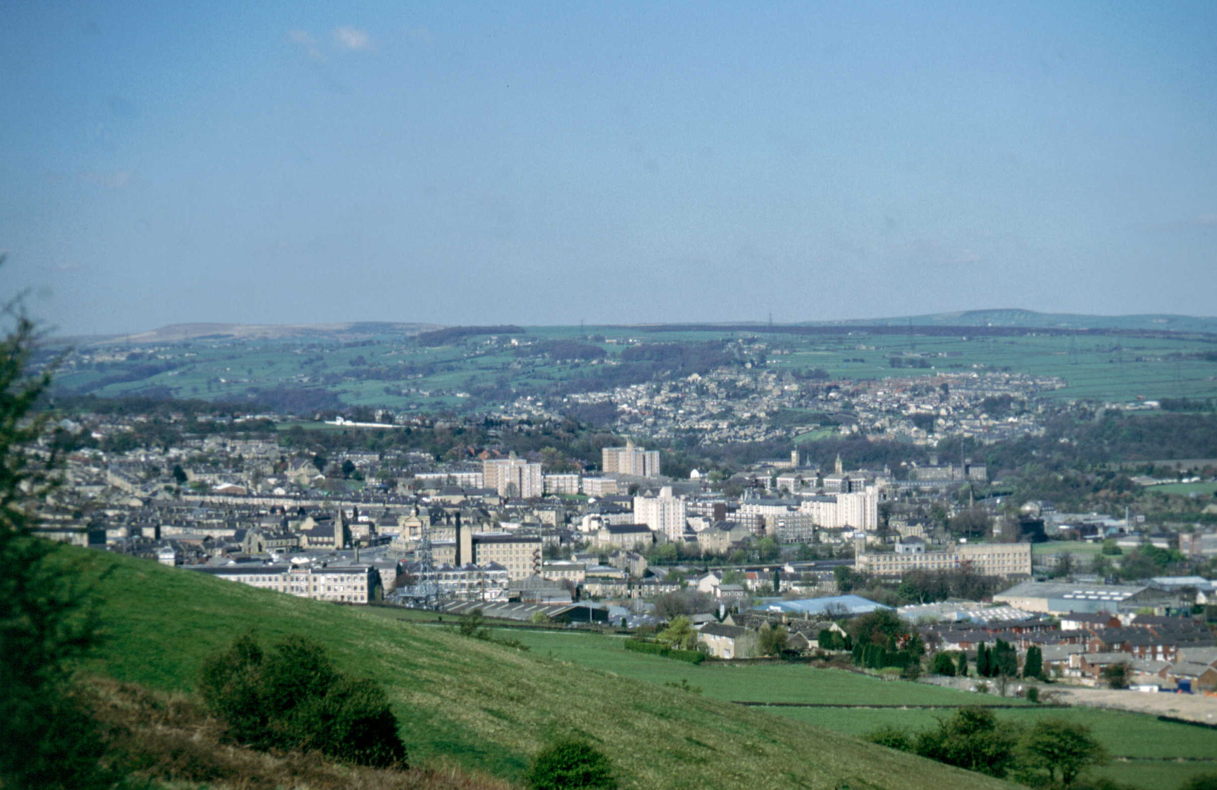
Elland

Elland is a market town in Calderdale, in the county of West Yorkshire, England. It is situated south of Halifax, by the River Calder and the Calder and...
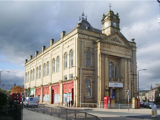
Elland Town Hall

Elland Town Hall is a municipal building in Southgate, Elland, West Yorkshire, England. The structure, which was primarily used as an events venue, is...

Church of St Mary, Elland

The Church of St Mary is a Church of England parish church in Elland, West Yorkshire. The church is a Grade I listed building. == History == Stones in...

The Brooksbank School

The Brooksbank School is a secondary school with academy status in Elland, near Halifax in West Yorkshire, England. It is a sports college, as well as...

Nearby Amenities

Located within 500m of 53.67617,-1.832022
Power: tower
Source: Bing
Lat/Long: 53.676387/-1.8297155
Power: tower
Source: Bing
Lat/Long: 53.6776437/-1.8257995
Power: tower
Source: Bing
Lat/Long: 53.6748109/-1.8346696
Barrier: yes
Lat/Long: 53.677836/-1.8340245
Weighbridge
Operator: DVSA
Lat/Long: 53.6728149/-1.8339733
Crossing
Crossing: unmarked
Crossing Island: no
Crossing Markings: no
Tactile Paving: no
Lat/Long: 53.6727137/-1.8333037
Defibrillator
Access: yes
Defibrillator Location: attached to railings outside Rosemount Estate, Ainley Bottom
Emergency: defibrillator
Indoor: no
Lat/Long: 53.6802934/-1.8290754
The data included in this document is from www.openstreetmap.org. The data is made available under ODbL.

Have you been to Ainley Round Wood?

Leave your review of Ainley Round Wood below (or comments, questions and feedback).