Bingley Wood
Wood, Forest in Staffordshire Staffordshire Moorlands
England
Bingley Wood
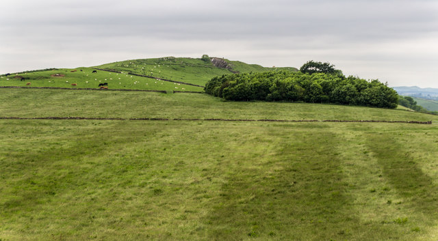
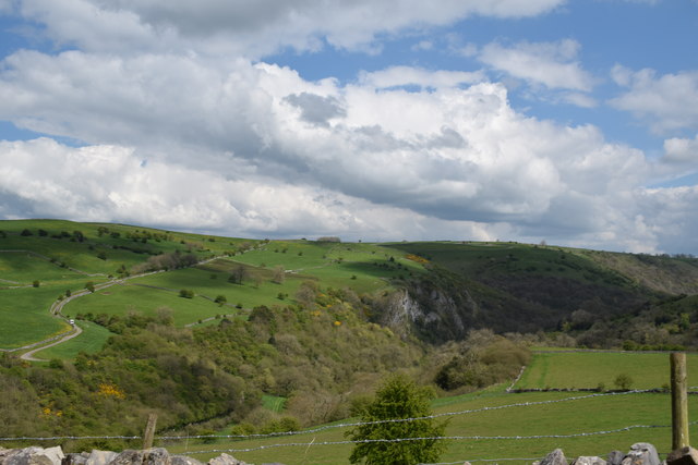
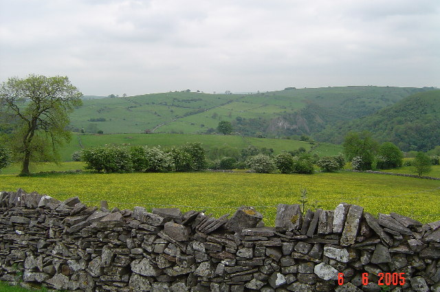
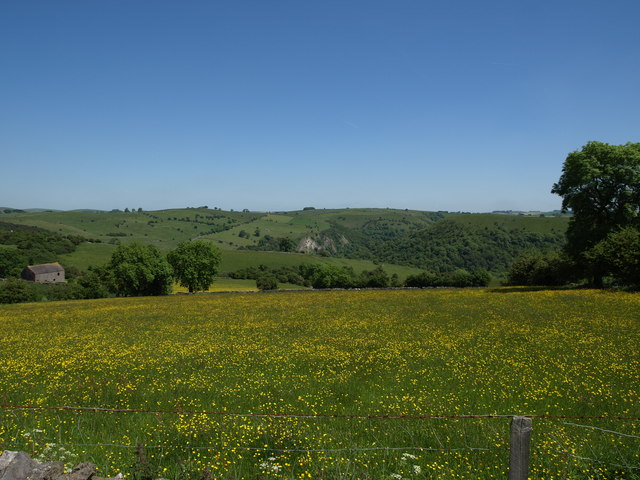
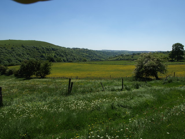
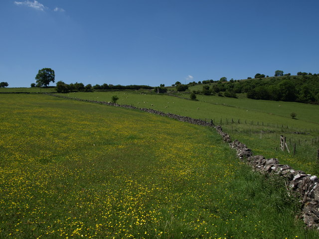
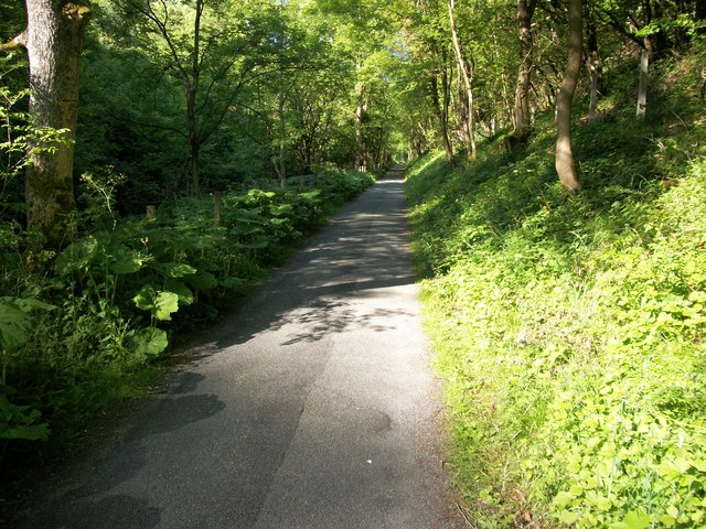
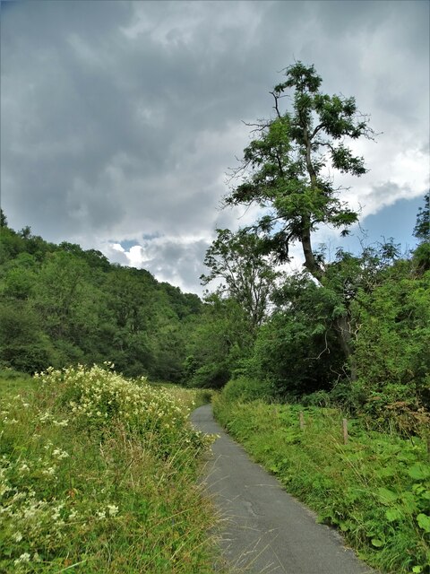
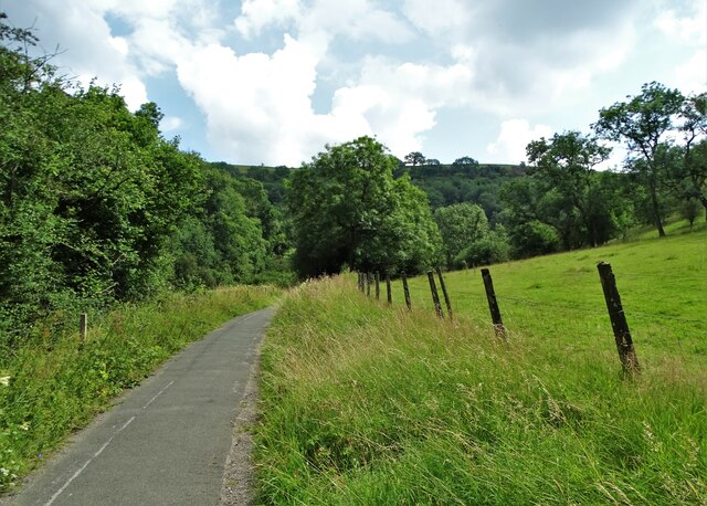
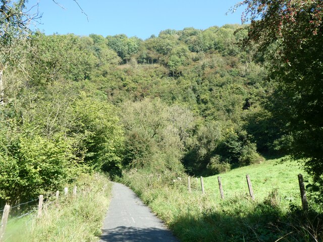
Bingley Wood is a picturesque woodland located in Staffordshire, England. Covering an area of approximately 100 acres, it is a popular destination for nature enthusiasts and walkers alike. The wood is situated within the Cannock Chase Area of Outstanding Natural Beauty, contributing to its tranquil and serene atmosphere.
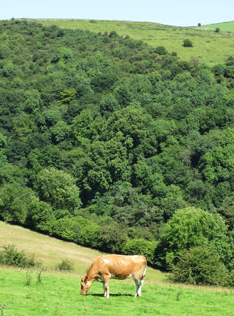
The woodland is predominantly comprised of deciduous trees, with a diverse range of species including oak, birch, and beech. The dense foliage provides a habitat for various wildlife, making it a haven for birdwatchers and nature photographers. Visitors may be lucky enough to spot woodpeckers, owls, and squirrels during their exploration of the wood.
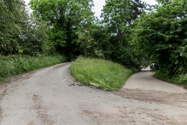
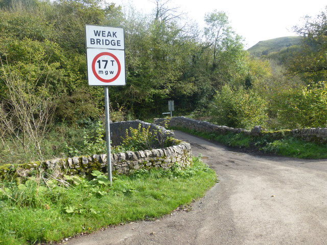
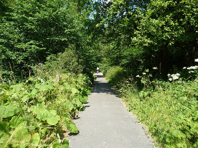
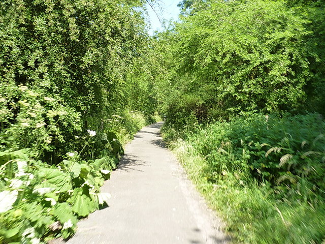
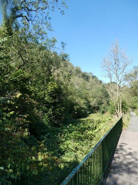
Bingley Wood offers a network of well-marked trails, allowing visitors to immerse themselves in the natural beauty of the area. The paths meander through the woodland, providing glimpses of enchanting wildflowers and vibrant fungi during certain seasons.
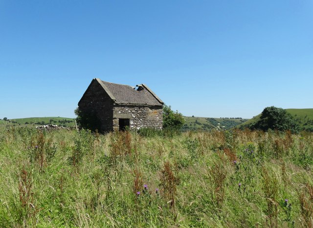
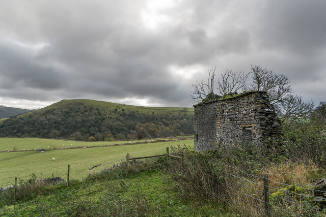
In addition to its natural splendor, Bingley Wood also holds historical significance. It is believed to have been part of the ancient hunting grounds of the Bingley Estate, dating back to medieval times. Remnants of this history can still be seen in the form of old stone walls and moss-covered ruins hidden within the wood.
With its scenic beauty, abundant wildlife, and historical charm, Bingley Wood offers a captivating experience for those seeking a peaceful retreat within the heart of Staffordshire. Whether it's a leisurely stroll or a bird-watching adventure, this woodland provides an opportunity to reconnect with nature and appreciate the wonders of the natural world.
If you have any feedback on the listing, please let us know in the comments section below.
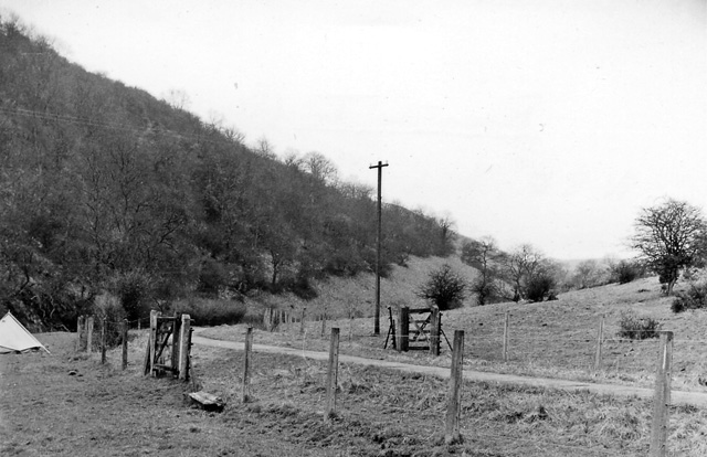
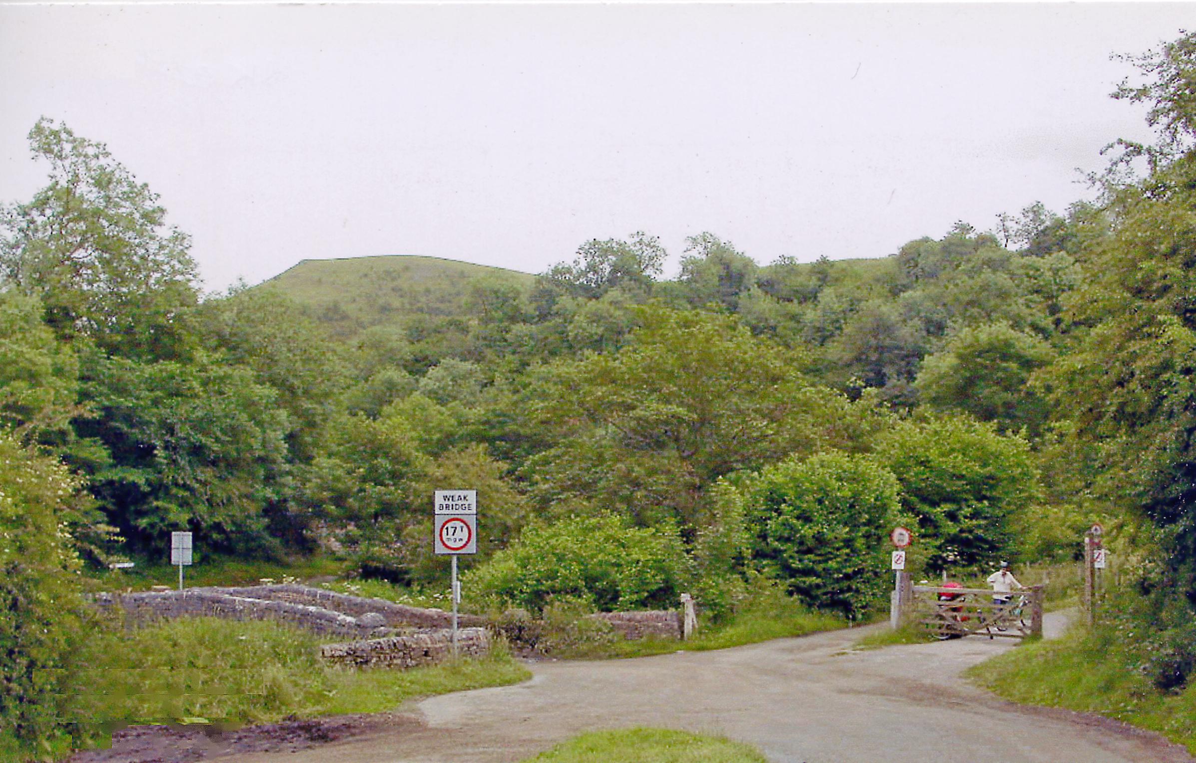
Bingley Wood Images
Images are sourced within 2km of 53.072524/-1.8329886 or Grid Reference SK1152. Thanks to Geograph Open Source API. All images are credited.
Bingley Wood is located at Grid Ref: SK1152 (Lat: 53.072524, Lng: -1.8329886)
Administrative County: Staffordshire
District: Staffordshire Moorlands
Police Authority: Staffordshire
What 3 Words
///flush.interview.biked. Near Newhaven, Derbyshire
Nearby Locations
Related Wikis
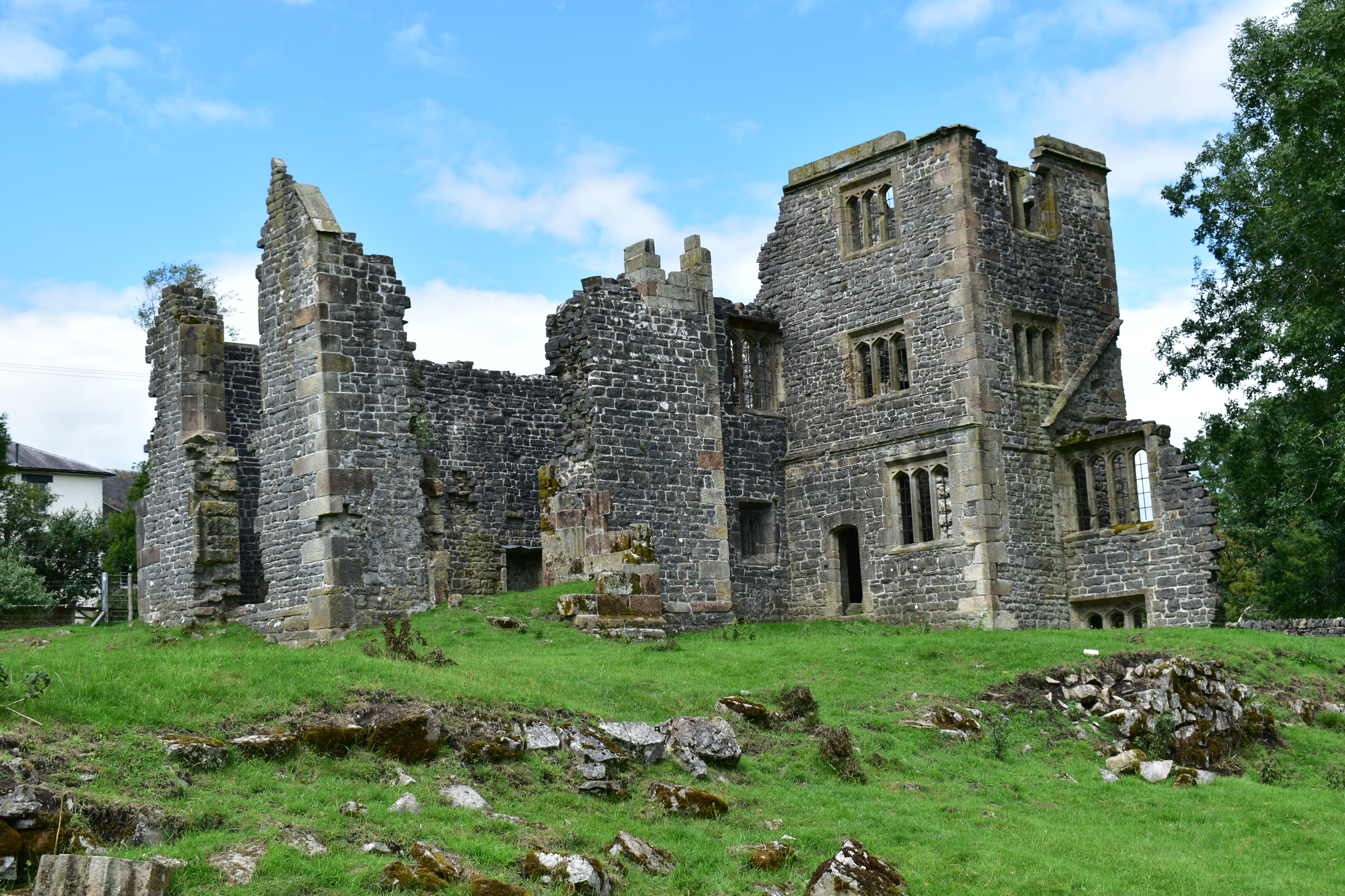
Throwley Old Hall
Throwley Old Hall is a ruined stately home near the village of Calton and adjacent to the River Manifold, in north-east Staffordshire, England. It is a...

Castern Wood
Castern Wood is a nature reserve of the Staffordshire Wildlife Trust. It is an ancient woodland, with scrub and grassland, on the eastern slopes of the...

Long Low, Wetton
Long Low is a Neolithic and Bronze Age site in the English county of Staffordshire. It is about 2 km SE of Wetton (grid reference SK122539).It consists...
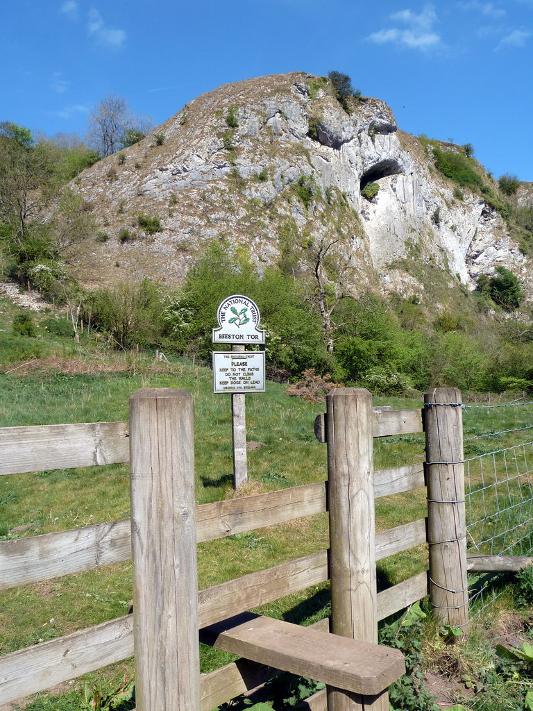
Beeston Tor
Beeston Tor (grid reference SK105540) is a limestone cliff in Staffordshire. It overlooks the confluence of the River Hamps with the River Manifold, and...
Beeston Tor railway station
Beeston Tor railway station was a minor station which served the Beeston Tor in Grindon, Staffordshire. The site is now part of the Manifold Way. ��2...
Grindon railway station
Grindon railway station was a station on the Leek and Manifold Light Railway. It served the village of Grindon in Staffordshire. The site is now part of...
Sparrowlee railway station
Sparrowlee was the name of a railway station on the Leek and Manifold Valley Light Railway, a 2 ft 6 in (762 mm) narrow gauge line which ran for 8 miles...
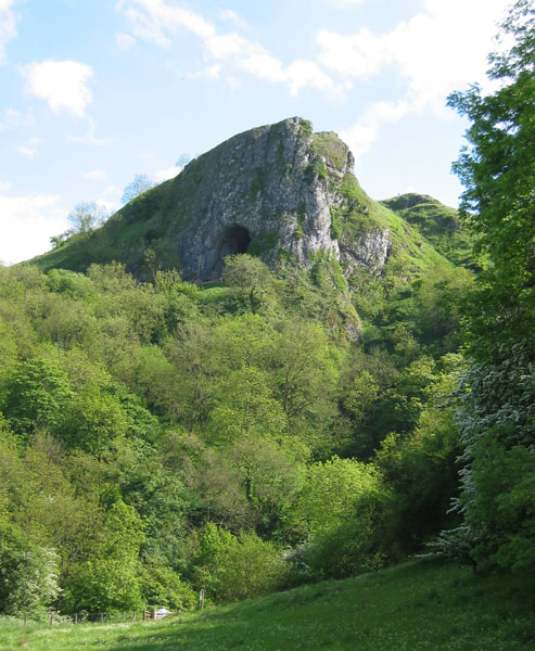
Thor's Cave
Thor's Cave (also known as Thor's House Cavern and Thyrsis's Cave) is a natural cavern located at SK09865496 in the Manifold Valley of the White Peak in...
Related Videos

Skating, Hiking & Wild Camping through the Peak District
This has to be one of my favourite wild camping trips, I knew about the long path past Thor's cave so I brought my skates for the ...
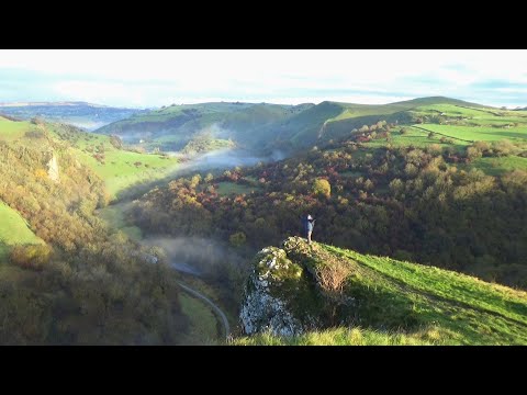
224: Wetton, Thor’s Cave, Beeston Tor and the Manifold Valley (Peak District 2023)
PEAK DISTRICT WALK FEATURING WETTON, THOR'S CAVE, WEAG'S BRIDGE, BEESTON TOR AND THE MANIFOLD VALLEY ...
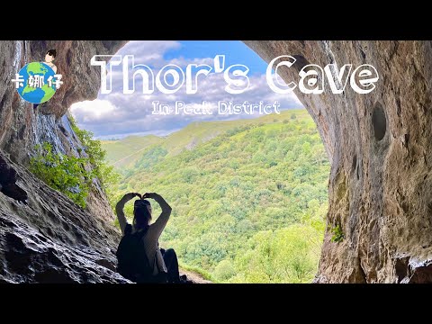
Hiking in Peak District - Thor's Cave
Facebook: https://www.facebook.com/playwithkana Instagram: http://www.instagram.com/yama.kana_ My favourite products and ...

Unique Thor's Cave in Peak District! - Walking tour | 4K
Thor's Cave is a natural cavern located in the Manifold Valley. It is set in a steep limestone crag, with its huge arched entrance ...
Nearby Amenities
Located within 500m of 53.072524,-1.8329886Have you been to Bingley Wood?
Leave your review of Bingley Wood below (or comments, questions and feedback).