Andrew's Copse

Wood, Forest in Dorset

England

Andrew's Copse

Shady track in Ashridge Copse
Shady track in Ashridge Copse Credit: David Martin

Andrew's Copse is a picturesque woodland located in the county of Dorset, England. Covering an area of approximately 100 acres, it is known for its diverse flora and fauna, making it a popular destination for nature enthusiasts and hikers alike.

The woodland is dominated by a variety of tree species, including oak, beech, and birch, which create a dense canopy overhead. This provides a cool and shaded environment, particularly during the hot summer months. The forest floor is covered in a thick layer of leaf litter, creating a rich habitat for a wide range of plant and animal species.

Wildflowers such as bluebells, primroses, and wood anemones bloom in abundance during the spring, creating a colorful carpet beneath the trees. This attracts a plethora of insects, including butterflies and bees, which can be seen flitting from flower to flower.

Andrew's Copse is also home to a diverse array of bird species, including woodpeckers, owls, and various songbirds. Their melodious calls can be heard echoing through the woodland, particularly during the dawn and dusk hours.

The forest is crisscrossed by a network of well-maintained footpaths, allowing visitors to explore its beauty at their own pace. These trails lead to secluded clearings, tranquil ponds, and breathtaking viewpoints, offering visitors a chance to immerse themselves in the tranquility and natural beauty of the area.

Overall, Andrew's Copse in Dorset is a captivating woodland, offering an escape from the hustle and bustle of everyday life, and providing a haven for both wildlife and nature enthusiasts.

If you have any feedback on the listing, please let us know in the comments section below.

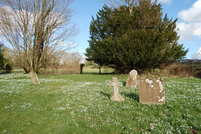
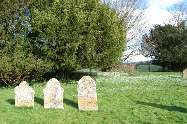
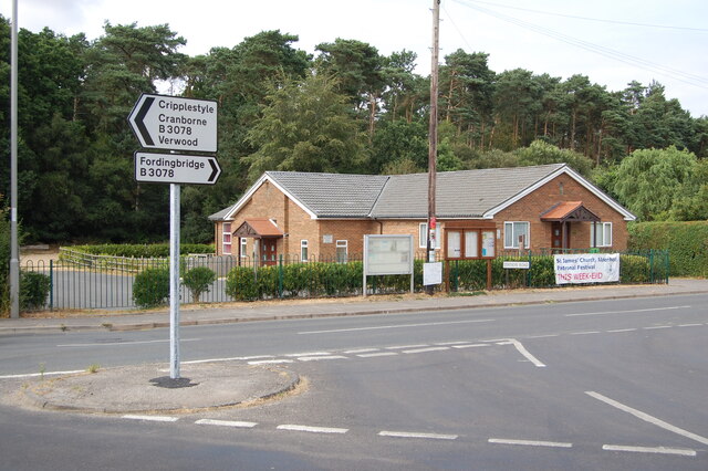
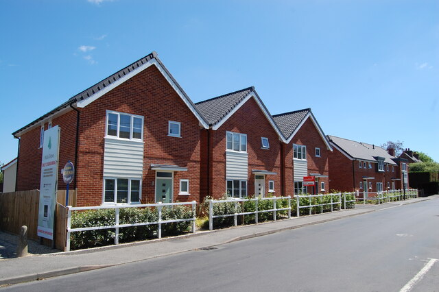
Andrew's Copse Images

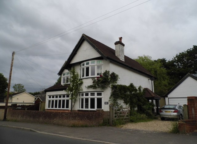
Images are sourced within 2km of 50.927541/-1.8407447 or Grid Reference SU1114. Thanks to Geograph Open Source API. All images are credited.

Shady track in Ashridge Copse
Ashridge Copse
Ashridge Copse
Direction Sign – Signpost at Bonfire Hill, Alderholt Located at Bonfire Hill on the northeast side of the T junction of the B3078 Station Road / Fordingbridge Road and Hillbury Road in Alderholt parish. 3 arms and annulus & bar finial. See also <a title="https://www.geograph.org.uk/photo/6055675" href="https://www.geograph.org.uk/photo/6055675">Link</a>. <a title="https://www.geograph.org.uk/photo/1741261" href="https://www.geograph.org.uk/photo/1741261">Link</a> and <a title="https://www.geograph.org.uk/photo/1741265" href="https://www.geograph.org.uk/photo/1741265">Link</a>.

Milestone Society National ID: DO_SU1213
Direction Sign – Signpost at Bonfire Hill, Alderholt
Located at Bonfire Hill on the northeast side of the T junction of the B3078 Station Road / Fordingbridge Road and Hillbury Road in Alderholt parish. 3 arms and annulus & bar finial. See also Link. Link and Link. Milestone Society National ID: DO_SU1213
Snowdrops in St Georges churchyard
St George's  church yard
St George's church yard
Alderholt village hall
New housing Ringwood Road Alderholt
Weeping willow Ringwood Road Alderholt
The coop store  Alderholt
The coop store Alderholt
Ordnance Survey Cut Mark This can be found on the wall of St George's Church at Damerham.
For more detail see : <span class="nowrap"><a title="http://www.bench-marks.org.uk/bm33542" rel="nofollow ugc noopener" href="http://www.bench-marks.org.uk/bm33542">Link</a><img style="margin-left:2px;" alt="External link" title="External link - shift click to open in new window" src="https://s1.geograph.org.uk/img/external.png" width="10" height="10"/></span>
Ordnance Survey Cut Mark
This can be found on the wall of St George's Church at Damerham. For more detail see : LinkExternal link
The Church of St George at Damerham Viewed from the north-east.
The Church of St George at Damerham
Viewed from the north-east.
House entrance on Fordingbridge Road, Alderholt
Bungalow on Station Road, Alderholt
Daggons Road, Alderholt
The Churchill Arms, Alderholt
Daggons Road, Alderholt
New houses on  Daggons Road, Alderholt There are millions of these sort of houses across the country already, yet most newly built copy them rather than making something more modern. I believe people buy them as they need to live somewhere urgently rather than because they like the designs.
New houses on Daggons Road, Alderholt
There are millions of these sort of houses across the country already, yet most newly built copy them rather than making something more modern. I believe people buy them as they need to live somewhere urgently rather than because they like the designs.
House on Station Road, Alderholt
Show me another place!

Andrew's Copse is located at Grid Ref: SU1114 (Lat: 50.927541, Lng: -1.8407447)

Unitary Authority: Dorset

Police Authority: Dorset

What 3 Words

///misty.prude.stag. Near Alderholt, Dorset

Related Wikis

Sandleheath

Sandleheath is a village and civil parish about 1.8 miles (2.9 km) west of Fordingbridge in the New Forest District of Hampshire, England. It has a...

Alderholt

Alderholt is a large village and civil parish in east Dorset, England; situated 3 miles (4.8 km) west of Fordingbridge. The parish includes the hamlets...

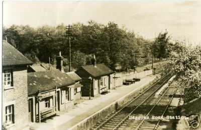
Daggons Road railway station

Daggons Road was a railway station serving the village of Alderholt, in Dorset, to the south west of Fordingbridge, in Hampshire. It was one of many casualties...

Lower Daggons

Lower Daggons is a hamlet in the New Forest district of Hampshire, England. At the 2011 Census the Post Office affirmed the population was included in...

Damerham

Damerham is a rural village and civil parish in the New Forest district of Hampshire, England, near Fordingbridge. The area has notable Neolithic and Bronze...

Fordingbridge railway station

Fordingbridge was a railway station serving Fordingbridge, a small town in Hampshire. It was one of many casualties of the mass closure of British railway...

Broxhill

Bull Hill, Dorset, Daggons and Broxhill are adjoining hamlets (mainly of Alderholt village) notable for planted woodland and tree cultivation south of...

Lopshill

Lopshill is a hamlet in the New Forest district in Hampshire, England. It is in the civil parish of Damerham. It is about 4 miles (7 km) from the New...

Nearby Amenities

Located within 500m of 50.927541,-1.8407447
Power: tower
Source: Bing
Lat/Long: 50.9245328/-1.8458565
Power: tower
Source: Bing
Lat/Long: 50.9280378/-1.8450618
Power: tower
Lat/Long: 50.9298242/-1.8418903
Ford: yes
Lat/Long: 50.9265039/-1.8354183
Hawkhill Mill CL
Addr City: Sandleheath
Addr Postcode: SP6 1PX
Capacity: 5
Power Supply: yes
Sanitary Dump Station: yes
Tourism: caravan_site
Lat/Long: 50.930284/-1.8384715
Power: pole
Source: bing
Lat/Long: 50.9260416/-1.8352747
Power: pole
Source: bing
Lat/Long: 50.925914/-1.836652
Power: pole
Source: bing
Lat/Long: 50.9257762/-1.8380588
Power: pole
Source: bing
Lat/Long: 50.9254406/-1.8397821
Power: pole
Source: bing
Lat/Long: 50.9250923/-1.8415001
Power: pole
Source: bing
Lat/Long: 50.9247077/-1.8434823
Power: pole
Source: bing
Lat/Long: 50.9243957/-1.8450192
Power: pole
Source: bing
Lat/Long: 50.9244169/-1.8452472
The data included in this document is from www.openstreetmap.org. The data is made available under ODbL.

Have you been to Andrew's Copse?

Leave your review of Andrew's Copse below (or comments, questions and feedback).