Croft Copse
Wood, Forest in Wiltshire New Forest
England
Croft Copse

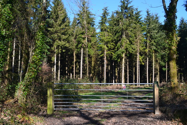
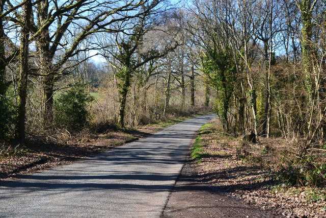
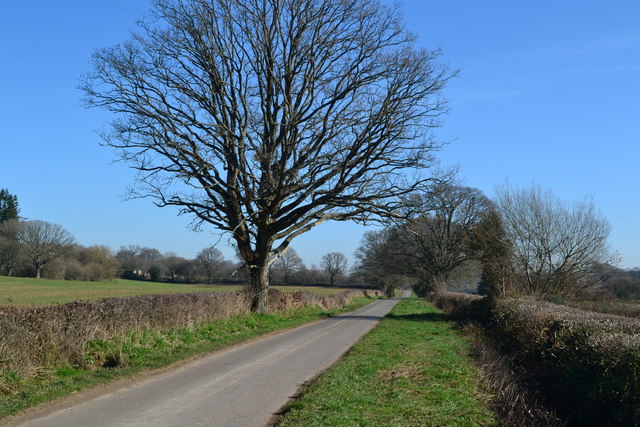
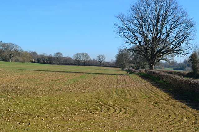
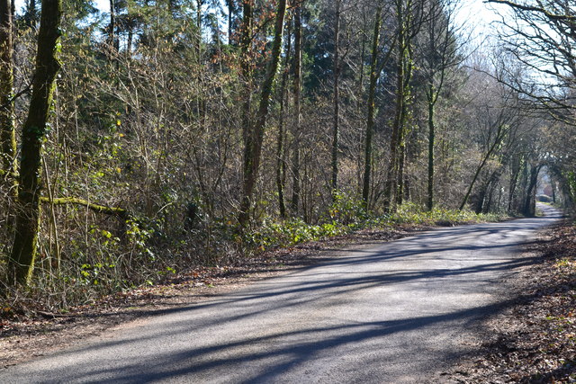
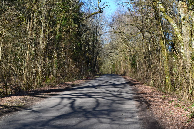
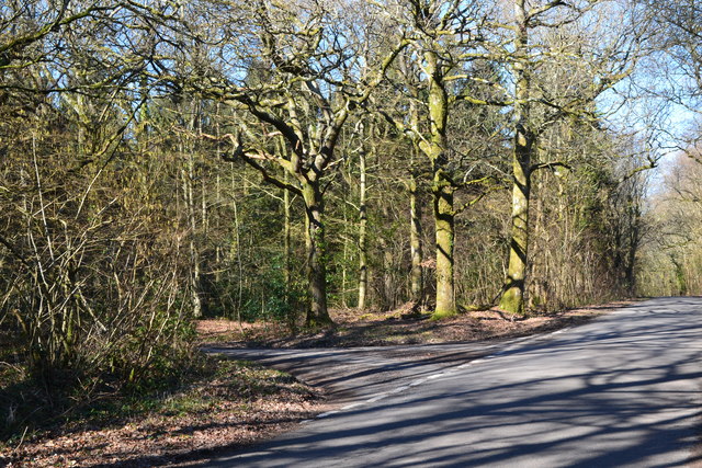
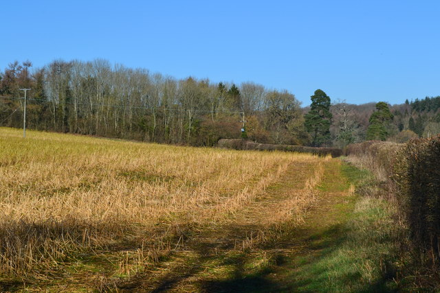
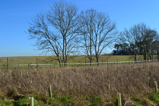
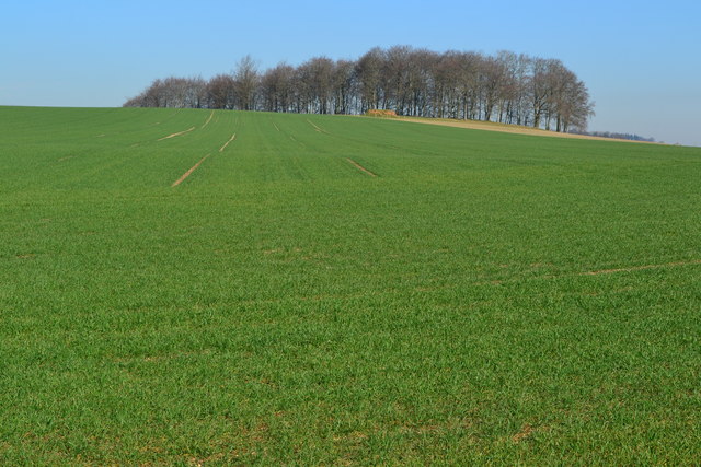
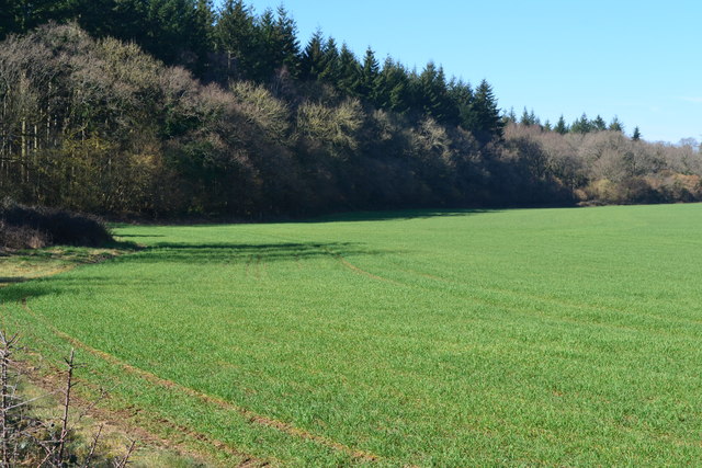
Croft Copse, located in Wiltshire, England, is a picturesque wood known for its dense forest and natural beauty. Spread over an expansive area of land, it is a popular destination for nature lovers, hikers, and photographers. The copse is characterized by its diverse range of trees, including oak, beech, and ash, creating a vibrant and lush environment.
The wood is home to a variety of wildlife, making it a haven for animal enthusiasts and birdwatchers. Visitors may spot deer, badgers, squirrels, and a multitude of bird species, such as woodpeckers and owls. The tranquility of the copse allows for a peaceful and immersive experience in nature.
Trails wind through the copse, providing opportunities for leisurely walks and exploration. The paths are well-maintained, making it accessible for people of all ages and abilities. Along the way, visitors can discover hidden clearings, babbling brooks, and vibrant wildflowers that add to the charm of the wood.
Croft Copse also offers educational opportunities, with information boards placed strategically throughout the area, providing insights into the flora and fauna found within the wood. This makes it an ideal destination for school trips or for those looking to expand their knowledge of the local ecosystem.
Overall, Croft Copse is a natural gem within Wiltshire, offering a tranquil retreat from the hustle and bustle of everyday life. Its stunning woodland, diverse wildlife, and well-maintained trails make it a must-visit destination for nature enthusiasts and those seeking solace in the great outdoors.
If you have any feedback on the listing, please let us know in the comments section below.
Croft Copse Images
Images are sourced within 2km of 50.926517/-1.8711826 or Grid Reference SU0914. Thanks to Geograph Open Source API. All images are credited.


Croft Copse is located at Grid Ref: SU0914 (Lat: 50.926517, Lng: -1.8711826)
Administrative County: Hampshire
District: New Forest
Police Authority: Hampshire
What 3 Words
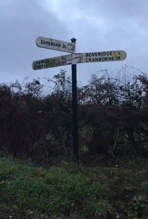
///season.divisible.poem. Near Alderholt, Dorset
Nearby Locations
Related Wikis

Lopshill
Lopshill is a hamlet in the New Forest district in Hampshire, England. It is in the civil parish of Damerham. It is about 4 miles (7 km) from the New...
Lower Daggons
Lower Daggons is a hamlet in the New Forest district of Hampshire, England. At the 2011 Census the Post Office affirmed the population was included in...

Crendell
Crendell is a hamlet in the civil parish of Alderholt in the East Dorset district of Dorset, England. The hamlet is close to the Dorset-Hampshire border...
Broxhill
Bull Hill, Dorset, Daggons and Broxhill are adjoining hamlets (mainly of Alderholt village) notable for planted woodland and tree cultivation south of...

Cripplestyle
Cripplestyle is a hamlet in the civil parish of Alderholt in the county of Dorset, England. It lies close to the Dorset-Hampshire border. The nearest town...

Damerham
Damerham is a rural village and civil parish in the New Forest district of Hampshire, England, near Fordingbridge. The area has notable Neolithic and Bronze...

Boulsbury Wood
Boulsbury Wood is a 119.8-hectare (296-acre) biological Site of Special Scientific Interest in Dorset and Hampshire. The site is west of Fordingbridge...
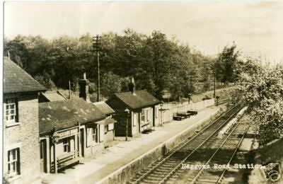
Daggons Road railway station
Daggons Road was a railway station serving the village of Alderholt, in Dorset, to the south west of Fordingbridge, in Hampshire. It was one of many casualties...
Nearby Amenities
Located within 500m of 50.926517,-1.8711826Have you been to Croft Copse?
Leave your review of Croft Copse below (or comments, questions and feedback).