Lopshill Pond
Lake, Pool, Pond, Freshwater Marsh in Wiltshire New Forest
England
Lopshill Pond
Lopshill Pond is a serene freshwater marsh located in the county of Wiltshire, England. Nestled amidst rolling green hills and picturesque countryside, this natural treasure is a haven for both wildlife and visitors seeking tranquility.
The pond, covering an area of approximately 5 acres, boasts crystal-clear water that reflects the surrounding landscape, creating a mesmerizing sight. It is fed by a small stream that originates from nearby hills, ensuring a constant flow of fresh water. The depth of the pond varies, with its deepest point reaching around 6 meters, providing a diverse habitat for aquatic plants and animals.
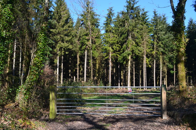
The shores of Lopshill Pond are adorned with a thriving ecosystem, characterized by an abundance of reeds, rushes, and water lilies. These plants not only add to the pond's scenic beauty but also provide shelter and food for various species of birds, insects, and amphibians. Visitors can often spot dragonflies, waterfowl, and even the occasional heron gracefully gliding over the water's surface.
The pond is a popular spot for recreational activities such as fishing and bird-watching. Anglers can try their luck at catching roach, perch, and tench, among other species that inhabit its depths. Bird-watchers can indulge in observing the diverse avian population, including kingfishers, mallards, and swans. The tranquil atmosphere and stunning natural surroundings make Lopshill Pond an idyllic spot for picnics and leisurely walks along its banks.
In conclusion, Lopshill Pond in Wiltshire is a captivating freshwater marsh that offers visitors a chance to connect with nature and appreciate its beauty. Its diverse ecosystem, recreational opportunities, and peaceful ambiance make it a cherished destination for both locals and tourists alike.
If you have any feedback on the listing, please let us know in the comments section below.
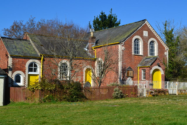
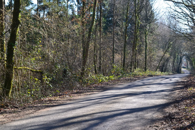
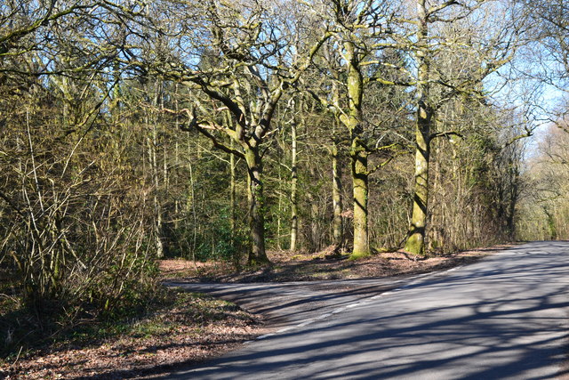
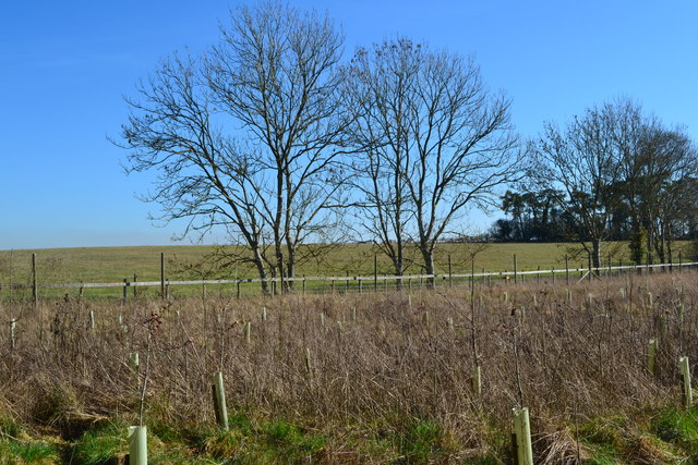
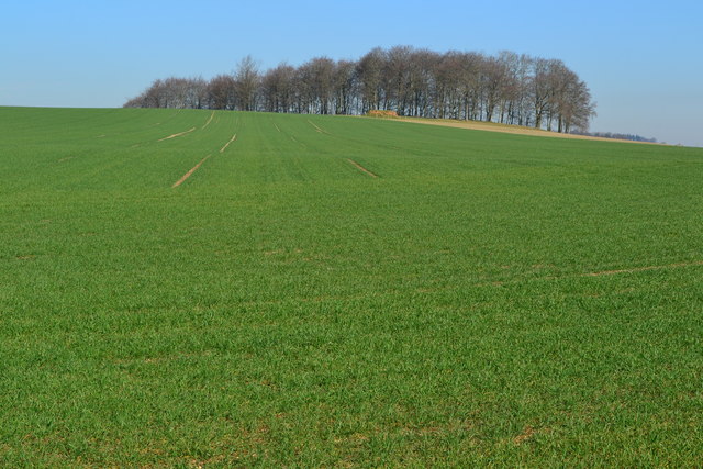
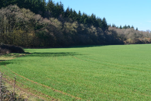
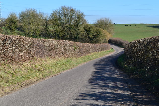
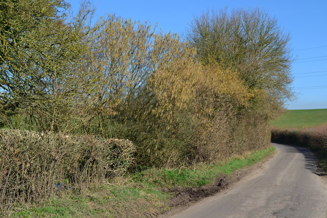
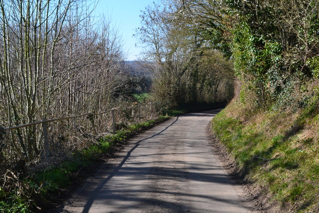
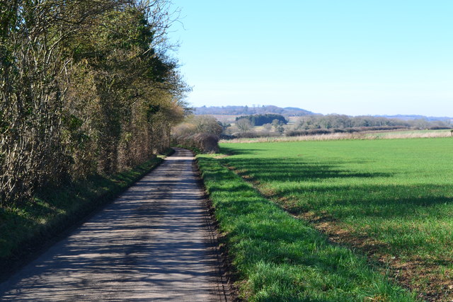
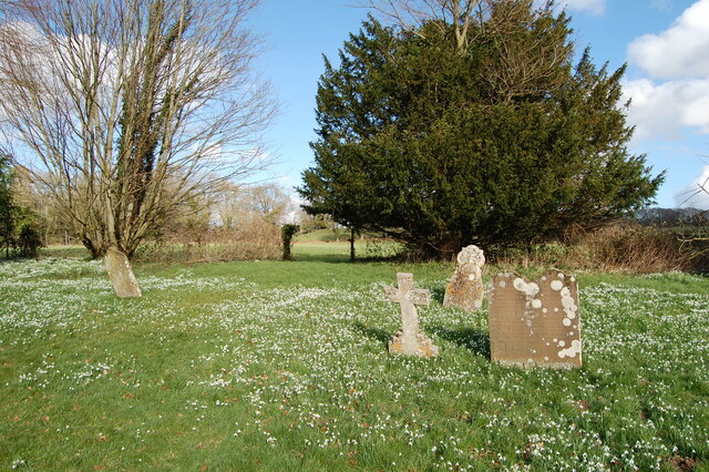
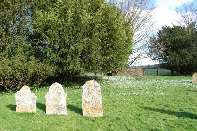
Lopshill Pond Images
Images are sourced within 2km of 50.928007/-1.8604073 or Grid Reference SU0914. Thanks to Geograph Open Source API. All images are credited.


Lopshill Pond is located at Grid Ref: SU0914 (Lat: 50.928007, Lng: -1.8604073)
Administrative County: Hampshire
District: New Forest
Police Authority: Hampshire
What 3 Words
///unsettled.survived.cracker. Near Alderholt, Dorset
Nearby Locations
Related Wikis

Lower Daggons
Lower Daggons is a hamlet in the New Forest district of Hampshire, England. At the 2011 Census the Post Office affirmed the population was included in...
Lopshill
Lopshill is a hamlet in the New Forest district in Hampshire, England. It is in the civil parish of Damerham. It is about 4 miles (7 km) from the New...
Broxhill
Bull Hill, Dorset, Daggons and Broxhill are adjoining hamlets (mainly of Alderholt village) notable for planted woodland and tree cultivation south of...

Damerham
Damerham is a rural village and civil parish in the New Forest district of Hampshire, England, near Fordingbridge. The area has notable Neolithic and Bronze...

Crendell
Crendell is a hamlet in the civil parish of Alderholt in the East Dorset district of Dorset, England. The hamlet is close to the Dorset-Hampshire border...

Cripplestyle
Cripplestyle is a hamlet in the civil parish of Alderholt in the county of Dorset, England. It lies close to the Dorset-Hampshire border. The nearest town...
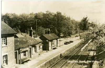
Daggons Road railway station
Daggons Road was a railway station serving the village of Alderholt, in Dorset, to the south west of Fordingbridge, in Hampshire. It was one of many casualties...

Alderholt
Alderholt is a large village and civil parish in east Dorset, England; situated 3 miles (4.8 km) west of Fordingbridge. The parish includes the hamlets...
Nearby Amenities
Located within 500m of 50.928007,-1.8604073Have you been to Lopshill Pond?
Leave your review of Lopshill Pond below (or comments, questions and feedback).