Dirtybridge Wood

Wood, Forest in Gloucestershire Cotswold

England

Dirtybridge Wood

Crossroads near Mawkin Farm
Crossroads near Mawkin Farm Credit: David Smith

Dirtybridge Wood is a picturesque woodland located in the county of Gloucestershire, England. Covering an area of approximately 50 acres, it is nestled in the heart of the beautiful Cotswolds region. The wood is situated just a few miles south of the town of Cirencester and is easily accessible by road.

As its name suggests, Dirtybridge Wood is characterized by its dense undergrowth, towering trees, and meandering pathways. The wood boasts an impressive variety of tree species, including ancient oaks, beech, and ash trees, which create a rich and diverse habitat for a wide range of flora and fauna.

Visitors to Dirtybridge Wood can enjoy a tranquil and immersive experience in nature. The wood is crisscrossed by a network of well-maintained footpaths, allowing visitors to explore its hidden corners and discover its natural wonders. Birdwatchers will appreciate the abundance of birdlife, including woodpeckers, nuthatches, and various songbirds that inhabit the wood.

Throughout the seasons, Dirtybridge Wood showcases a stunning display of colors and scents. In spring, the woodland floor is carpeted with bluebells and wildflowers, creating a vibrant and fragrant spectacle. During autumn, the changing foliage of the trees paints the wood in hues of gold and red, offering a breathtaking sight.

Dirtybridge Wood is not only a haven for nature enthusiasts but also serves as an important conservation area. The wood is actively managed by local authorities to preserve its biodiversity and protect its ecological value. It is a cherished local resource, offering a peaceful retreat and a glimpse into the natural beauty of Gloucestershire's countryside.

If you have any feedback on the listing, please let us know in the comments section below.

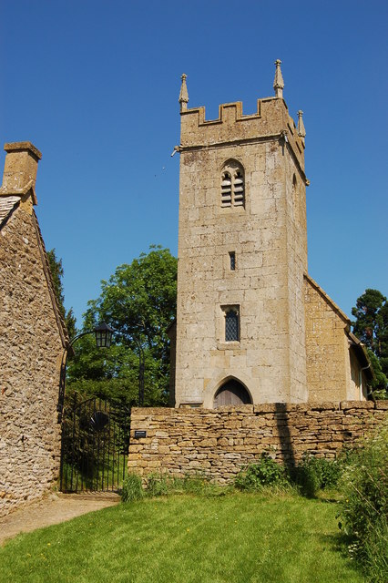
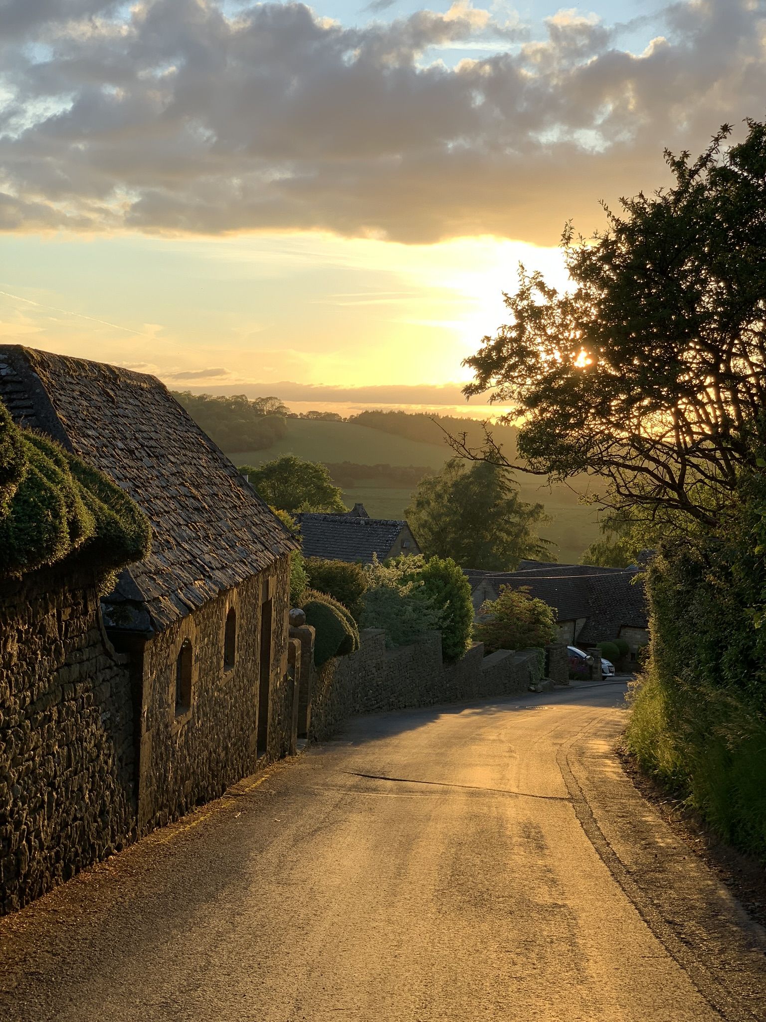
Dirtybridge Wood Images

Images are sourced within 2km of 51.980332/-1.8682174 or Grid Reference SP0931. Thanks to Geograph Open Source API. All images are credited.

Crossroads near Mawkin Farm
Traveller step inside - Ford, Gloucestershire This is the Plough Inn at Ford in the Cotswolds, between Cutsdean and Temple Guiting. The invitation to passers-by reads "Ye weary travellers that pass by With dust and scorching sunbeams dry Or be benumb'd with snow and frost  With having these bleak cotswolds crost Step in and quaff my nut brown ale Bright as rubys mild and stale Twill make your laging trotters dance As nimble as the suns of france Then ye will own ye men of sense That neare was better spent sixpence". Some years ago I did take the invitation but it certainly was not sixpence a pint. Time photo taken not available.
<a href="https://www.geograph.org.uk/photo/3190392">SP0829 : The Plough Inn</a>
Traveller step inside - Ford, Gloucestershire
This is the Plough Inn at Ford in the Cotswolds, between Cutsdean and Temple Guiting. The invitation to passers-by reads "Ye weary travellers that pass by With dust and scorching sunbeams dry Or be benumb'd with snow and frost With having these bleak cotswolds crost Step in and quaff my nut brown ale Bright as rubys mild and stale Twill make your laging trotters dance As nimble as the suns of france Then ye will own ye men of sense That neare was better spent sixpence". Some years ago I did take the invitation but it certainly was not sixpence a pint. Time photo taken not available. SP0829 : The Plough Inn
Old Milestone by the B4077, Ford village, Temple Guiting Metal plate attached to stone post by the B4077, in parish of TEMPLE GUITING (COTSWOLD District), Ford, village centre, on banking near bend, on North side of road. Stow iron plate, erected by the Stow to Stump Cross turnpike trust in the 19th century. 

Inscription reads:-
STOW 7.
TEWKS
BURY.
13.

Grade II listed.  
List Entry Number: 1089517 <span class="nowrap"><a title="https://historicengland.org.uk/listing/the-list/list-entry/1089517" rel="nofollow ugc noopener" href="https://historicengland.org.uk/listing/the-list/list-entry/1089517">Link</a><img style="margin-left:2px;" alt="External link" title="External link - shift click to open in new window" src="https://s1.geograph.org.uk/img/external.png" width="10" height="10"/></span>

Milestone Society National ID: GL_TWSW13.
Old Milestone by the B4077, Ford village, Temple Guiting
Metal plate attached to stone post by the B4077, in parish of TEMPLE GUITING (COTSWOLD District), Ford, village centre, on banking near bend, on North side of road. Stow iron plate, erected by the Stow to Stump Cross turnpike trust in the 19th century. Inscription reads:- STOW 7. TEWKS BURY. 13. Grade II listed. List Entry Number: 1089517 LinkExternal link Milestone Society National ID: GL_TWSW13.
Diamond Way From Ford the Diamond Way heading alongside the gallops to Jackdaws Castle
Diamond Way
From Ford the Diamond Way heading alongside the gallops to Jackdaws Castle
Diamond Way Diamond Way cuts across the gallops near Jackdaw Castle
Diamond Way
Diamond Way cuts across the gallops near Jackdaw Castle
Permissive footpath to Durhams Ture Maps do not tell us what Durhams Ture is, but label the wood ahead as The Durhams.
Permissive footpath to Durhams Ture
Maps do not tell us what Durhams Ture is, but label the wood ahead as The Durhams.
Sheep farming No lambs to be seen.
Sheep farming
No lambs to be seen.
Cutsdean Trig Point An OS roadside triangulation pillar.
Cutsdean Trig Point
An OS roadside triangulation pillar.
Diamond Way Diamond Way alongside a gallop by Jackdaw's Castle
Diamond Way
Diamond Way alongside a gallop by Jackdaw's Castle
Road heading to Buckle Street Road passing Ling Ground heading to Buckle Street
Road heading to Buckle Street
Road passing Ling Ground heading to Buckle Street
Road to Taddington near Cutsdean
Buckle Street
Buckle Street
Buckle Street on Cutsdean Hill This minor road links Bourton-on-the-Water with Broadway. Ahead is the summit of Cutsdean Hill which, at 305m, is one of few Cotswold Hills to exceed 1000ft high. In this case, by less than a foot !

The drive on the left is the entrance to Jackdaw's Castle.
Buckle Street on Cutsdean Hill
This minor road links Bourton-on-the-Water with Broadway. Ahead is the summit of Cutsdean Hill which, at 305m, is one of few Cotswold Hills to exceed 1000ft high. In this case, by less than a foot ! The drive on the left is the entrance to Jackdaw's Castle.
All-weather gallops at Ford, Gloucestershire A view on a pleasant winter's day of the all-weather gallops at Ford. The photo looks north-eastwards across this stretch of the north Cotswolds. The shot has been taken from the car park on the B4077 that adjoins the Plough inn.
All-weather gallops at Ford, Gloucestershire
A view on a pleasant winter's day of the all-weather gallops at Ford. The photo looks north-eastwards across this stretch of the north Cotswolds. The shot has been taken from the car park on the B4077 that adjoins the Plough inn.
Road to Cutsdean
Road to Cutsdean
The village of Ford View of the village of Ford from the road to Guiting Power. Snow still lies on this high Cotswold landscape almost a week after it fell.
The village of Ford
View of the village of Ford from the road to Guiting Power. Snow still lies on this high Cotswold landscape almost a week after it fell.
Gallops above Ford Snow covered gallops at the Jackdaws Castle stables viewed here over the village of Ford.
Gallops above Ford
Snow covered gallops at the Jackdaws Castle stables viewed here over the village of Ford.
Rounding-up Moving the straw bales to one point for loading and transport.
View west of the B4077 near Temple Guiting.
Rounding-up
Moving the straw bales to one point for loading and transport. View west of the B4077 near Temple Guiting.
Show me another place!

Dirtybridge Wood is located at Grid Ref: SP0931 (Lat: 51.980332, Lng: -1.8682174)

Administrative County: Gloucestershire

District: Cotswold

Police Authority: Gloucestershire

What 3 Words

///cracking.recruiter.generals. Near Broadway, Worcestershire

Related Wikis

Cutsdean Quarry

Cutsdean Quarry (grid reference SP105315) is a 0.83-hectare (2.1-acre) nature reserve in Gloucestershire, England. The site is listed in the 'Cotswold...

Jackdaw Quarry

Jackdaw Quarry (grid reference SP077309) is a 4.78-hectare (11.8-acre) geological Site of Special Scientific Interest in Gloucestershire, notified in 1985...

Cutsdean

Cutsdean is a rural village in the Cotswolds and smaller than average sized parish, a few miles east north-east of Cheltenham, Gloucestershire and the...

Ford, Gloucestershire

Ford is a hamlet in Gloucestershire, England. Ford lies on the B4077 road where it crosses the upper reaches of the River Windrush between Tewkesbury and...

Snowshill

Snowshill (locally SNOH-zəl, SNOZ-əl) is a small Cotswolds village and civil parish in Gloucestershire, England, located near Broadway, Worcestershire...
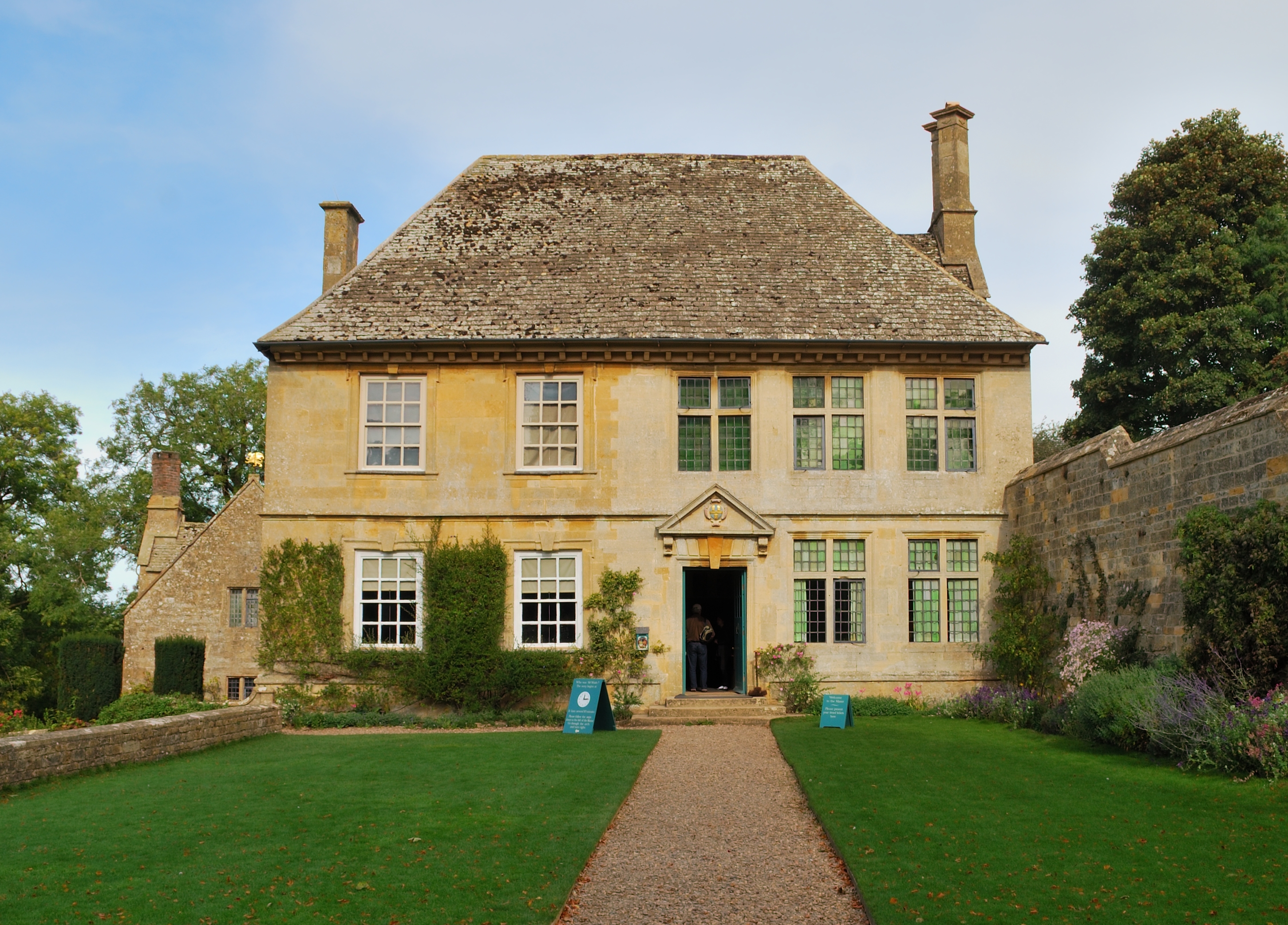
Snowshill Manor

Snowshill Manor is a National Trust property located in the village of Snowshill, Gloucestershire, United Kingdom. It is a sixteenth-century country house...

Hornsleasow Roughs

Hornsleasow Roughs (grid reference SP117323) is a 28.24-hectare (69.8-acre) biological Site of Special Scientific Interest in Gloucestershire, notified...

Stanway House

Stanway House is a Jacobean manor house near the village of Stanway in Gloucestershire, England. The manor of Stanway was owned by Tewkesbury Abbey for...

Nearby Amenities

Located within 500m of 51.980332,-1.8682174
Taddington
Is In: Gloucestershire, England, UK
Place: hamlet
Source: NPE
Wikidata: Q29002094
Lat/Long: 51.9807321/-1.8740575
Field Barn
Power: pole
Transformer: distribution
Voltage Primary: 11000
Lat/Long: 51.982636/-1.8659136
Power: pole
Lat/Long: 51.9827186/-1.866973
Power: pole
Lat/Long: 51.9822932/-1.8680097
Power: pole
Lat/Long: 51.9816068/-1.8688506
Power: pole
Lat/Long: 51.9808857/-1.8697263
Power: pole
Lat/Long: 51.9803066/-1.8704237
Power: pole
Lat/Long: 51.9797301/-1.8711291
Power: pole
Lat/Long: 51.9789643/-1.8720491
Taddington Farm
Power: pole
Transformer: distribution
Voltage Primary: 11000
Lat/Long: 51.9791403/-1.8741614
Power: pole
Lat/Long: 51.978788/-1.8734452
Power: pole
Lat/Long: 51.97842/-1.872717
Power: pole
Lat/Long: 51.9778665/-1.8733835
The data included in this document is from www.openstreetmap.org. The data is made available under ODbL.

Have you been to Dirtybridge Wood?

Leave your review of Dirtybridge Wood below (or comments, questions and feedback).