Diamond Plantation
Wood, Forest in Gloucestershire Cotswold
England
Diamond Plantation

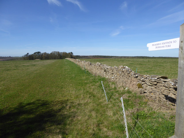
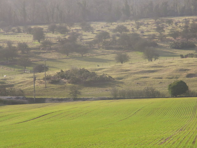
Diamond Plantation is a woodland area located in Gloucestershire, England. Situated in the heart of the Forest of Dean, it covers a vast area of approximately 200 acres. The plantation is known for its enchanting beauty and rich biodiversity, attracting nature enthusiasts and visitors alike.
The woodland is predominantly composed of oak and beech trees, which provide a dense canopy, creating a peaceful and serene atmosphere. The forest floor is adorned with a variety of native wildflowers and ferns, adding to the picturesque landscape. The plantation is home to a diverse range of wildlife, including deer, foxes, badgers, and a myriad of bird species.
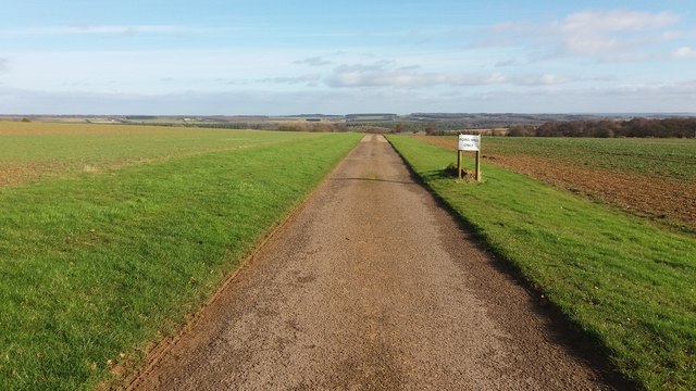
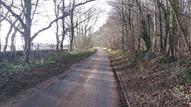
Diamond Plantation offers numerous recreational activities for visitors to enjoy. There are well-maintained walking trails that meander through the woodland, allowing visitors to explore the area at their own pace. The plantation also boasts picnic areas, where families and friends can relax and enjoy a meal surrounded by the beauty of nature.
The woodland is managed by the Forestry Commission, ensuring the preservation and sustainable use of its resources. The commission undertakes regular maintenance and conservation efforts to protect the biodiversity and natural habitats within the plantation.
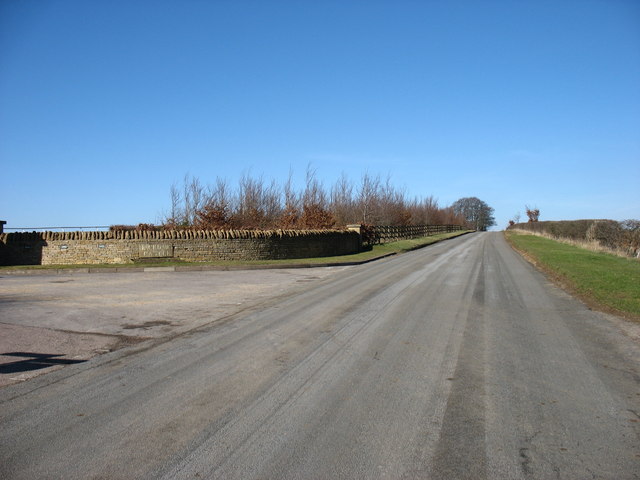
Diamond Plantation is easily accessible, with ample parking facilities available for visitors. It provides a tranquil retreat for those seeking solace in nature, as well as an educational and recreational space for individuals of all ages.
If you have any feedback on the listing, please let us know in the comments section below.
Diamond Plantation Images
Images are sourced within 2km of 51.983983/-1.8615378 or Grid Reference SP0931. Thanks to Geograph Open Source API. All images are credited.


Diamond Plantation is located at Grid Ref: SP0931 (Lat: 51.983983, Lng: -1.8615378)
Administrative County: Gloucestershire
District: Cotswold
Police Authority: Gloucestershire
What 3 Words
///surfacing.fashion.headings. Near Broadway, Worcestershire
Nearby Locations
Related Wikis

Cutsdean Quarry
Cutsdean Quarry (grid reference SP105315) is a 0.83-hectare (2.1-acre) nature reserve in Gloucestershire, England. The site is listed in the 'Cotswold...
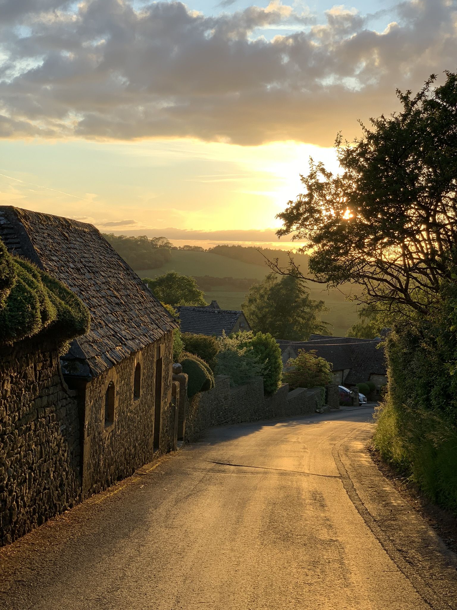
Snowshill
Snowshill (locally SNOH-zəl, SNOZ-əl) is a small Cotswolds village and civil parish in Gloucestershire, England, located near Broadway, Worcestershire...
Cutsdean
Cutsdean is a rural village in the Cotswolds and smaller than average sized parish, a few miles east north-east of Cheltenham, Gloucestershire and the...

Jackdaw Quarry
Jackdaw Quarry (grid reference SP077309) is a 4.78-hectare (11.8-acre) geological Site of Special Scientific Interest in Gloucestershire, notified in 1985...
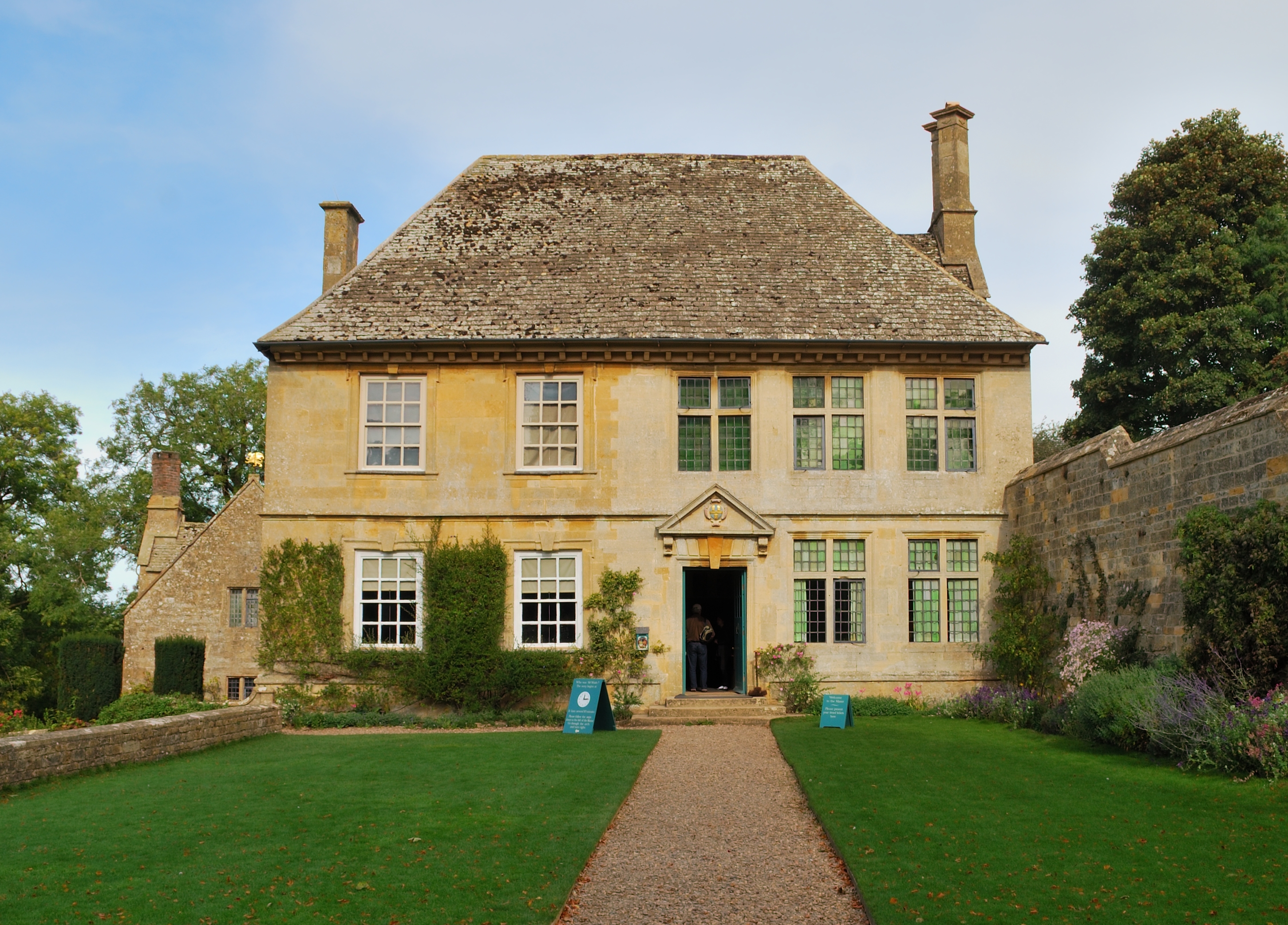
Snowshill Manor
Snowshill Manor is a National Trust property located in the village of Snowshill, Gloucestershire, United Kingdom. It is a sixteenth-century country house...

Hornsleasow Roughs
Hornsleasow Roughs (grid reference SP117323) is a 28.24-hectare (69.8-acre) biological Site of Special Scientific Interest in Gloucestershire, notified...

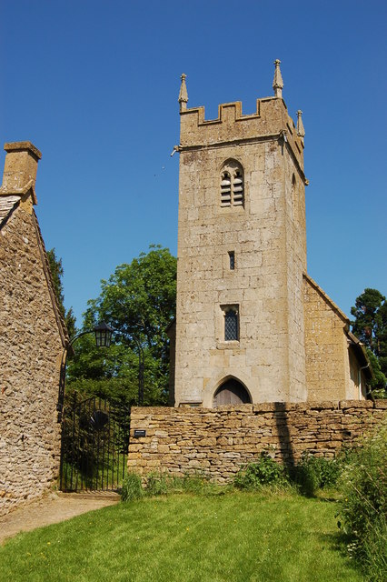
Ford, Gloucestershire
Ford is a hamlet in Gloucestershire, England. Ford lies on the B4077 road where it crosses the upper reaches of the River Windrush between Tewkesbury and...

Stanton, Gloucestershire
Stanton is a village and civil parish in Tewkesbury Borough, Gloucestershire, England. The village is a spring line settlement at the foot of the Cotswold...
Nearby Amenities
Located within 500m of 51.983983,-1.8615378Have you been to Diamond Plantation?
Leave your review of Diamond Plantation below (or comments, questions and feedback).