Argoed
Settlement in Monmouthshire
Wales
Argoed
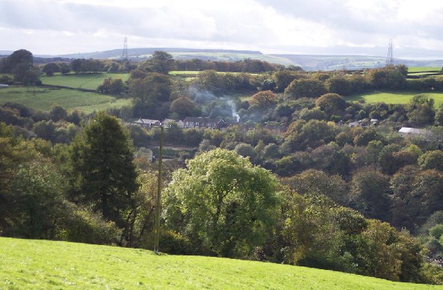
Argoed is a rural village located in the county of Monmouthshire, Wales. Situated in the southeastern part of the county, it is nestled in the rolling hills of the Usk Valley. The village is surrounded by picturesque countryside, offering stunning views and a tranquil atmosphere.
Argoed is a small community with a population of around 400 residents. It is known for its close-knit and friendly community, where neighbors often come together for social events and activities. The village has a strong sense of community spirit, with various local groups and organizations promoting engagement and involvement.
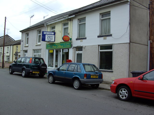
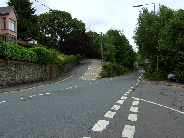
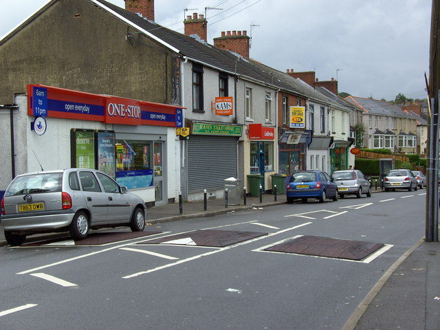
The village boasts a range of amenities to cater to the needs of its residents. These include a primary school, a village hall, and a local pub. Additionally, Argoed is well-connected to nearby towns and cities, with regular bus services operating to and from the area.
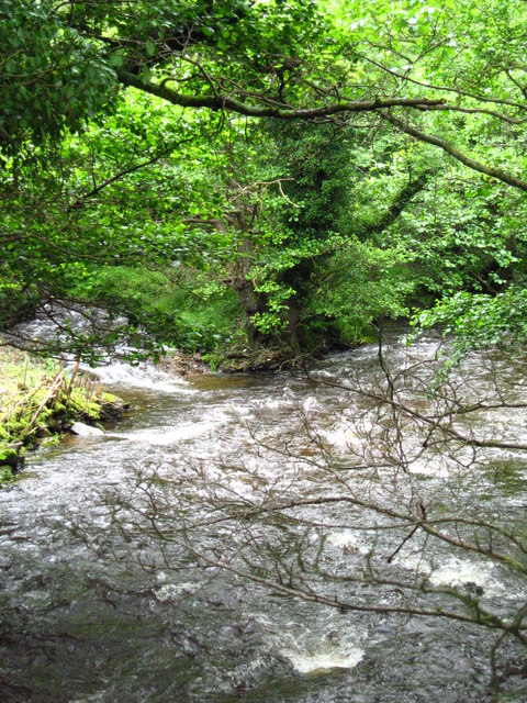
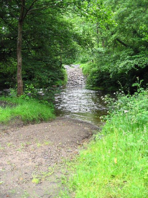
Nature enthusiasts will find plenty to explore in the surrounding area, with various walking and cycling trails that offer breathtaking views of the countryside. Argoed is also in close proximity to the Forest of Dean and the Brecon Beacons National Park, providing ample opportunities for outdoor activities.
Overall, Argoed is a charming village that offers a peaceful and idyllic setting for its residents. With its strong sense of community and natural beauty, it is a place that many are proud to call home.
If you have any feedback on the listing, please let us know in the comments section below.
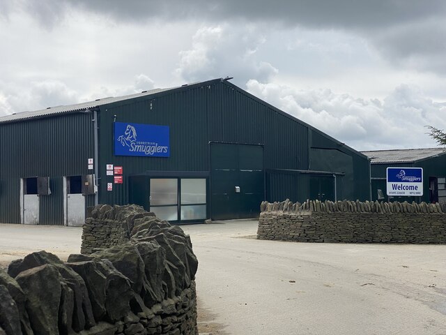
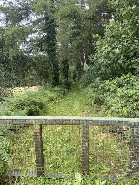
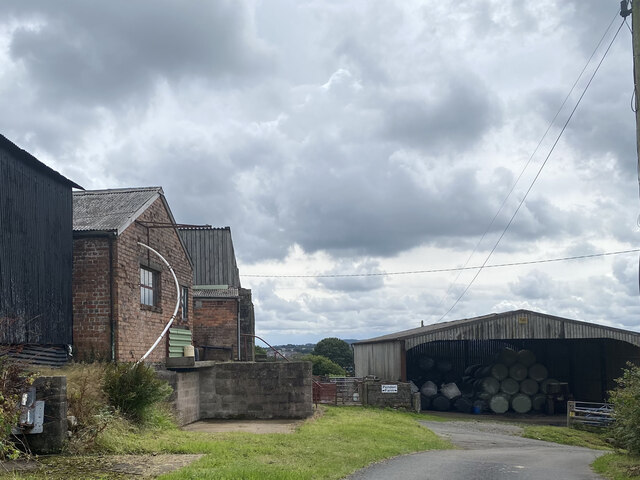
Argoed Images
Images are sourced within 2km of 51.696694/-3.194346 or Grid Reference SO1700. Thanks to Geograph Open Source API. All images are credited.
Argoed is located at Grid Ref: SO1700 (Lat: 51.696694, Lng: -3.194346)
Unitary Authority: Caerphilly
Police Authority: Gwent
What 3 Words
///brighter.paces.stubble. Near Bargoed, Caerphilly
Nearby Locations
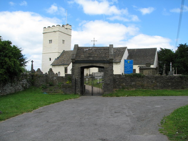
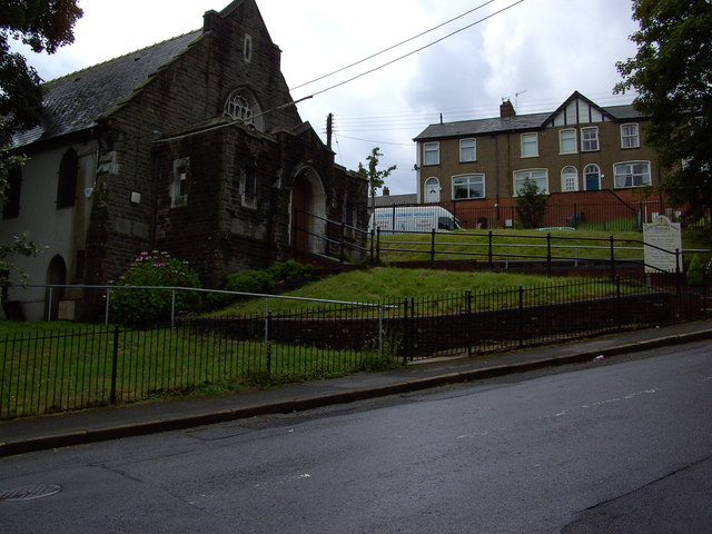
Related Wikis

Argoed railway station
Argoed railway station served the village of Argoed in the County Borough of Caerphilly, Wales. it succeeded the first Argoed station built by the Sirhowy...
Argoed, Caerphilly
Argoed (Welsh for 'by a wood' / 'by a grove') is a village, community and an electoral ward in the Sirhowy Valley between Blackwood and Tredegar in Caerphilly...
Bedwellty
Bedwellty is a small village in Caerphilly County Borough in south Wales. The village stands on a ridge of high ground between the Rhymney and Sirhowy...
Aberbargoed Grasslands
Aberbargoed Grasslands is a Site of Special Scientific Interest in the Rhymney Valley in Mid & South Glamorgan, South Wales. The area was designated a...

Markham, Caerphilly
Markham is a small village in the South Wales Valleys in Caerphilly County Borough, to the northeast of Bargoed. The B4511 road links to Markham from Aberbargoed...

Maes Manor
Maes Manor is a country house near Blackwood, Caerphilly, Wales. It dates mainly from the early 20th century and is notable for its gardens, designed by...
Aberbargoed Buds F.C.
Aberbargoed Buds Football Club is a football club based in Aberbargoed, Wales. They currently play in the Ardal SE, the third tier of the Welsh football...
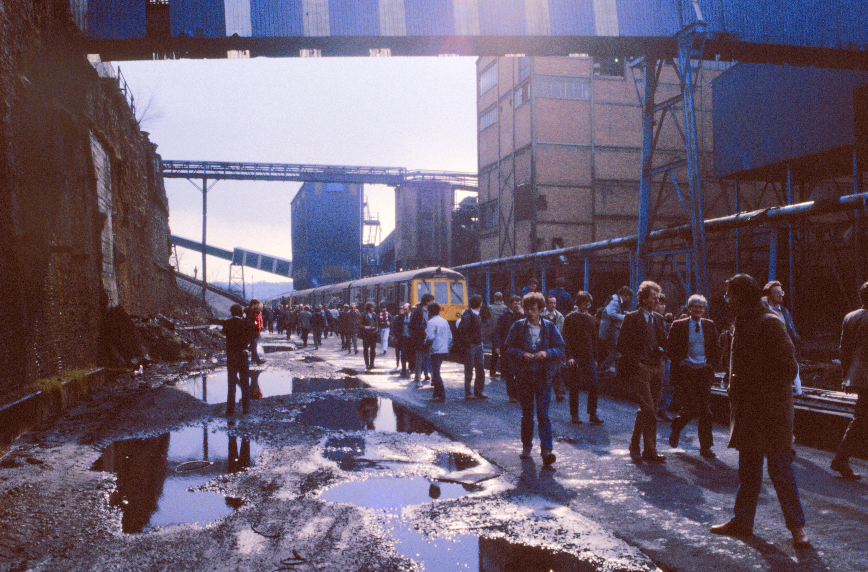
Oakdale Colliery
Oakdale Colliery was a coal mine located in the Sirhowy Valley, one of the valleys of South Wales. In the early years of the twentieth century the need...
Nearby Amenities
Located within 500m of 51.696694,-3.194346Have you been to Argoed?
Leave your review of Argoed below (or comments, questions and feedback).