Acre Wood
Wood, Forest in Yorkshire Richmondshire
England
Acre Wood
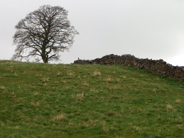
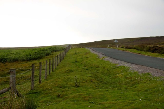
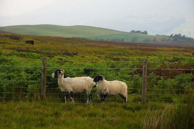
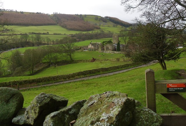
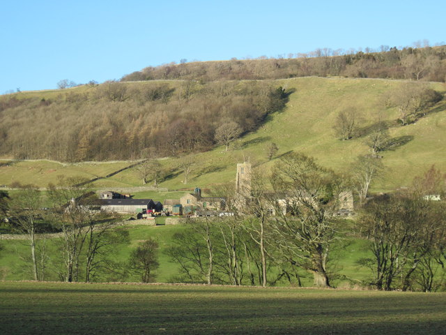
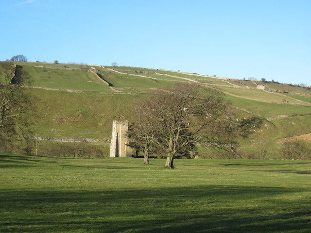
Acre Wood is a picturesque forest located in the county of Yorkshire, England. Stretching over an area of approximately 200 acres, it is known for its serene beauty and diverse ecosystem. The woodland is nestled in a rural setting, surrounded by rolling hills and meandering streams, creating a tranquil atmosphere for visitors to enjoy.
The forest is predominantly composed of deciduous trees, including oak, beech, and birch, which provide a vibrant display of colors throughout the seasons. The dense canopy allows only dappled sunlight to filter through, creating an enchanting ambiance. A variety of wildflowers, such as bluebells and primroses, carpet the forest floor during spring, adding to its charm.
Acre Wood is home to a rich array of wildlife, making it a haven for nature enthusiasts. Visitors may spot a wide range of bird species, including woodpeckers, owls, and various songbirds. Additionally, small mammals like rabbits, squirrels, and voles can be found scurrying among the undergrowth. Foxes and badgers also inhabit the forest, but are rarely seen during the day.
The woodland offers several walking trails that wind through its tranquil paths, allowing visitors to explore its hidden treasures. It is a popular destination for hikers, joggers, and families looking for a peaceful retreat. The well-maintained trails are suitable for all ages and fitness levels, ensuring that everyone can enjoy the beauty of Acre Wood.
Overall, Acre Wood in Yorkshire is a natural gem that offers a peaceful escape from the hustle and bustle of everyday life. Its breathtaking scenery, diverse flora, and abundant wildlife make it a must-visit destination for nature lovers and those seeking solace in the beauty of the outdoors.
If you have any feedback on the listing, please let us know in the comments section below.
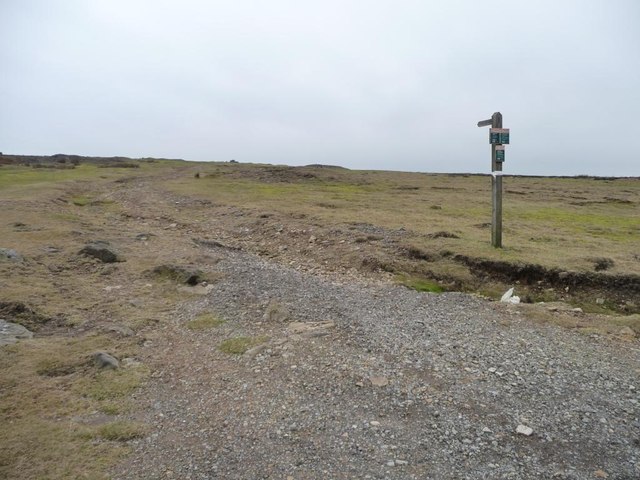
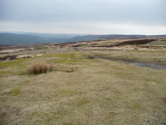
Acre Wood Images
Images are sourced within 2km of 54.365502/-1.8841078 or Grid Reference SE0796. Thanks to Geograph Open Source API. All images are credited.
Acre Wood is located at Grid Ref: SE0796 (Lat: 54.365502, Lng: -1.8841078)
Division: North Riding
Administrative County: North Yorkshire
District: Richmondshire
Police Authority: North Yorkshire
What 3 Words
///exchanges.evolution.starch. Near Leyburn, North Yorkshire
Nearby Locations
Related Wikis
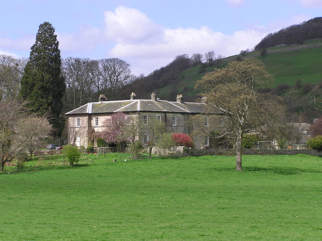
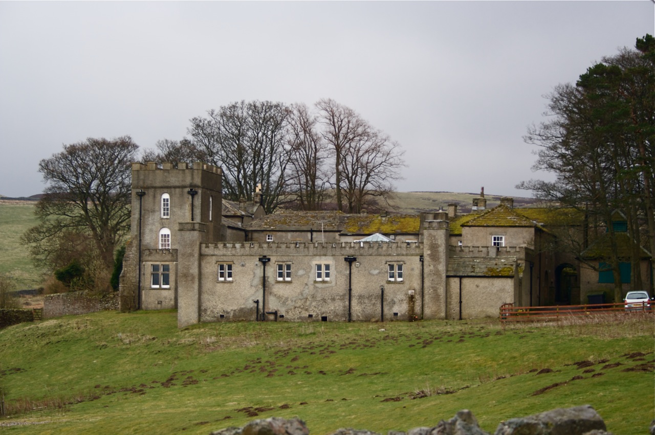
Ellerton Abbey House
Ellerton Abbey House is an historic building and estate in Ellerton Abbey, North Yorkshire, England. It was built around 1830 for the Fore Erle-Drax family...

Ellerton Abbey
Ellerton Abbey is a civil parish in the Richmondshire district of North Yorkshire, England. It is located on the River Swale in lower Swaledale, 6 miles...
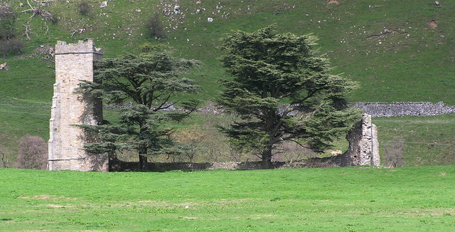
Ellerton Priory (Swaledale)
Ellerton Priory was a priory of Cistercian nuns in Swaledale in North Yorkshire, England. Its ruins lie in the civil parish of Ellerton Abbey. == History... ==

Marrick Priory
Marrick Priory was a Benedictine nunnery in Richmondshire, North Yorkshire, England, established between 1140 and 1160 by Roger de Aske. The parish Church...

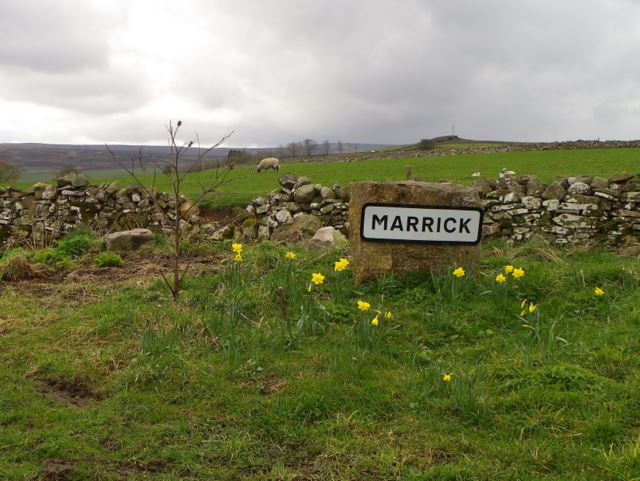
Marrick
Marrick is a village and civil parish in the Richmondshire district of North Yorkshire, England, situated in lower Swaledale in the Yorkshire Dales National...

Grinton Smelt Mill
Grinton Smelt Mill (also known as How Mill) is a ruined lead mining and processing site on Cogden Moor, south of Grinton in Swaledale, North Yorkshire...
Grinton Lodge
Grinton Lodge is a 19th-century former shooting lodge that has been a youth hostel since 1948. A Grade II listed building, it is situated above the village...

Stainton, west North Yorkshire
Stainton is a hamlet and civil parish in the North Yorkshire district of North Yorkshire, England. It is located just outside the Yorkshire Dales National...
Nearby Amenities
Located within 500m of 54.365502,-1.8841078Have you been to Acre Wood?
Leave your review of Acre Wood below (or comments, questions and feedback).