Little Wigmore Copse

Wood, Forest in Wiltshire New Forest

England

Little Wigmore Copse

Holwell, tractor Harvest home; a tractor and trailer laden with bales to take back to the farm.
Holwell, tractor Credit: Mike Faherty

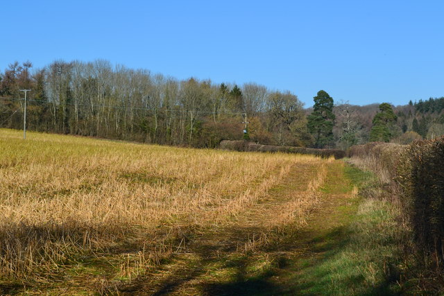
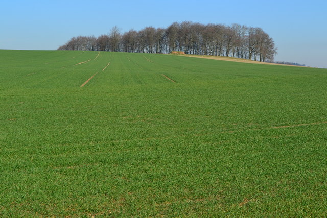
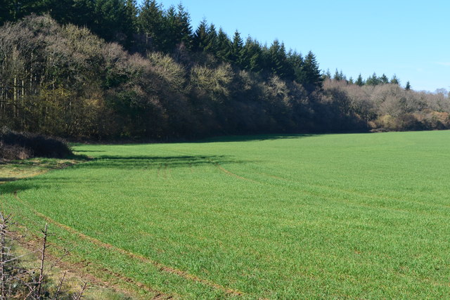
Little Wigmore Copse is a small woodland located in the county of Wiltshire, England. It covers an area of approximately 10 hectares and is situated near the village of Wigmore. The copse is part of the larger Cranborne Chase and West Wiltshire Downs Area of Outstanding Natural Beauty.

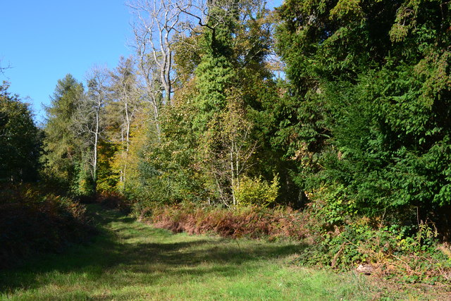
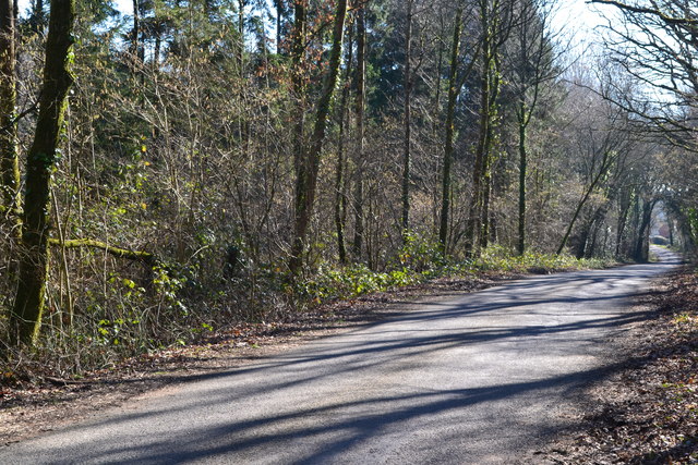
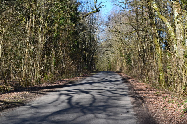
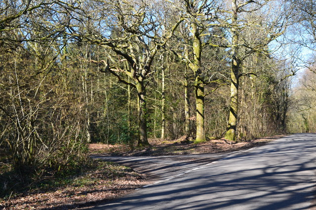
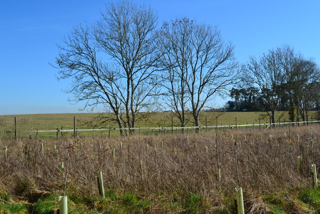
The woodland is predominantly composed of deciduous trees, with species such as oak, beech, and ash dominating the landscape. These trees provide a dense canopy, creating a shaded and peaceful environment. The forest floor is covered in a variety of flora, including bluebells, ferns, and mosses, adding to the natural beauty of the area.

Little Wigmore Copse is home to a diverse range of wildlife. Various bird species can be spotted within the woodland, including woodpeckers, owls, and songbirds. Mammals such as foxes, badgers, and deer also inhabit the area, making it a popular spot for wildlife enthusiasts and nature lovers.

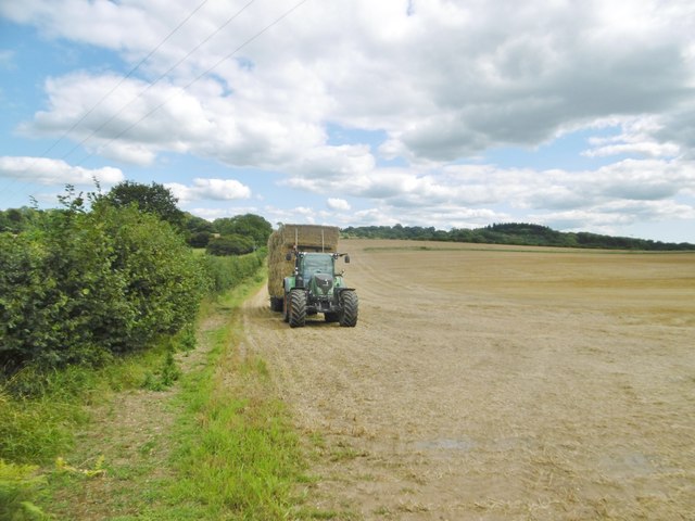
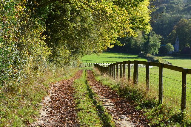
The copse is crisscrossed by a network of footpaths, allowing visitors to explore the woodland and enjoy its natural surroundings. These paths provide opportunities for walking, jogging, and wildlife observation. Additionally, there are picnic areas and benches scattered throughout the copse, providing places to rest and soak in the tranquil atmosphere.

Little Wigmore Copse offers visitors a chance to escape the hustle and bustle of everyday life and immerse themselves in the beauty of nature. Its picturesque setting, diverse flora and fauna, and peaceful ambiance make it a cherished natural gem within the Wiltshire countryside.

If you have any feedback on the listing, please let us know in the comments section below.

Little Wigmore Copse Images

Images are sourced within 2km of 50.936682/-1.8928574 or Grid Reference SU0715. Thanks to Geograph Open Source API. All images are credited.

Holwell, tractor Harvest home; a tractor and trailer laden with bales to take back to the farm.
Holwell, tractor
Harvest home; a tractor and trailer laden with bales to take back to the farm.
Cranborne, forestry track From Churchill Drove to Curries.
Cranborne, forestry track
From Churchill Drove to Curries.
Cranborne, gate At the northern end of Churchill Drove, a private road and bridleway to Rushmore Farm.
Cranborne, gate
At the northern end of Churchill Drove, a private road and bridleway to Rushmore Farm.
Old Milestone, north of Boveridge and Cranborne Carved stone post by the UC road, in parish of Cranborne (East Dorset District), 2 miles North of Cranborne, set into bank in wooded area, on North-west side of road. Poole stone, erected by the Poole Turnpike Trust in the 19th century. 

Inscription reads:-
XVIII
Miles From
Poole Gate
II Mile
from
Cranborn 
Carved benchmark in centre of front face. 

Grade II Listed. List Entry Number: 1153464
<span class="nowrap"><a title="https://historicengland.org.uk/listing/the-list/list-entry/1153464" rel="nofollow ugc noopener" href="https://historicengland.org.uk/listing/the-list/list-entry/1153464">Link</a><img style="margin-left:2px;" alt="External link" title="External link - shift click to open in new window" src="https://s1.geograph.org.uk/img/external.png" width="10" height="10"/></span>

Milestone Society National ID: DO_POSA18.
Old Milestone, north of Boveridge and Cranborne
Carved stone post by the UC road, in parish of Cranborne (East Dorset District), 2 miles North of Cranborne, set into bank in wooded area, on North-west side of road. Poole stone, erected by the Poole Turnpike Trust in the 19th century. Inscription reads:- XVIII Miles From Poole Gate II Mile from Cranborn Carved benchmark in centre of front face. Grade II Listed. List Entry Number: 1153464 LinkExternal link Milestone Society National ID: DO_POSA18.
Looking into Blagdon Hill Wood
Field beside track to Boveridge
Sunlit track and hedge at Boveridge
Afternoon shadows in lane at Boveridge
Track down hill beside Rookery Wood The former St Aldhelm's Church can be seen in the shade of the trees on the right. It is now a private dwelling.
Track down hill beside Rookery Wood
The former St Aldhelm's Church can be seen in the shade of the trees on the right. It is now a private dwelling.
Old Direction Sign - Signpost near Biddlesgate Farm, Cranborne Parish Cap finial - 3 arms; by the UC road, in parish of Cranborne (East Dorset District), Y junction near Biddlesgate Farm.

To be surveyed

Milestone Society National ID: DO_SU0714.
Old Direction Sign - Signpost near Biddlesgate Farm, Cranborne Parish
Cap finial - 3 arms; by the UC road, in parish of Cranborne (East Dorset District), Y junction near Biddlesgate Farm. To be surveyed Milestone Society National ID: DO_SU0714.
Old Direction Sign - Signpost by Boveridge, Cranborne Parish Annulus & bar finial - 4 arms; Dorset halo with NGR by the UC road, in parish of Cranborne (East Dorset District), Boveridge, at crossroads junction of UC roads to West Blagdon and Damerham, in hedge.

Surveyed

Milestone Society National ID: DO_SU0514
Old Direction Sign - Signpost by Boveridge, Cranborne Parish
Annulus & bar finial - 4 arms; Dorset halo with NGR by the UC road, in parish of Cranborne (East Dorset District), Boveridge, at crossroads junction of UC roads to West Blagdon and Damerham, in hedge. Surveyed Milestone Society National ID: DO_SU0514
Road through Bratch Copse
Tree shadows on the road through Bratch Copse
Lane junction in Bratch Copse
Field edge south of Biddlesgate Farm
Recently planted woodland protected by deer fence
View up field to Ball Hill Copse
Field beside Boulsbury Wood
Show me another place!

Little Wigmore Copse is located at Grid Ref: SU0715 (Lat: 50.936682, Lng: -1.8928574)

Administrative County: Hampshire

District: New Forest

Police Authority: Hampshire

What 3 Words

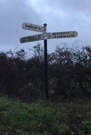
///revisits.magnetic.snail. Near Alderholt, Dorset

Related Wikis

Boulsbury Wood

Boulsbury Wood is a 119.8-hectare (296-acre) biological Site of Special Scientific Interest in Dorset and Hampshire. The site is west of Fordingbridge...

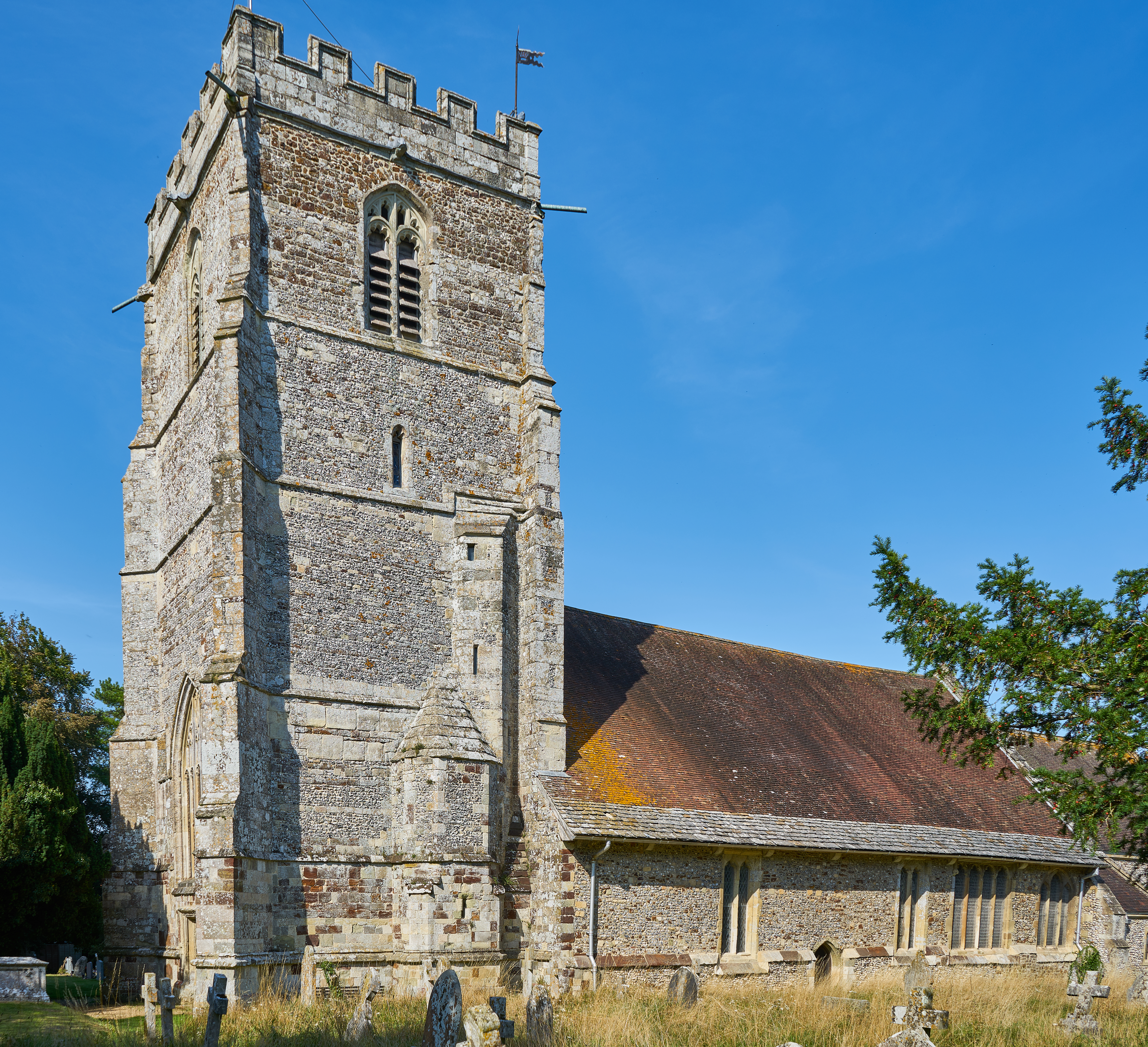
St Aldhelm's Church, Boveridge

St Aldhelm's Church is a former Church of England church in Boveridge, Dorset, England. It was built at the expense of Richard Brouncker in 1838 and became...

Crendell

Crendell is a hamlet in the civil parish of Alderholt in the East Dorset district of Dorset, England. The hamlet is close to the Dorset-Hampshire border...

Lopshill

Lopshill is a hamlet in the New Forest district in Hampshire, England. It is in the civil parish of Damerham. It is about 4 miles (7 km) from the New...

Boveridge

Boveridge is a hamlet in Dorset, England about 1 mile (1.6 km) north of Cranborne, 12 miles (19 km) south-west of Salisbury, Wiltshire, and 10 miles (16...

Cranborne Hundred

Cranborne Hundred was a hundred in the county of Dorset, England, containing the following parishes: Ashmore Belchalwell (divided between Okeford Fitzpaine...

Cranborne

Cranborne is a village in East Dorset, England. At the 2011 census, the parish had a population of 779, remaining unchanged from 2001. The appropriate...

Lower Daggons

Lower Daggons is a hamlet in the New Forest district of Hampshire, England. At the 2011 Census the Post Office affirmed the population was included in...

Related Videos

Ancient technology Centre Cranborne Dark ages event

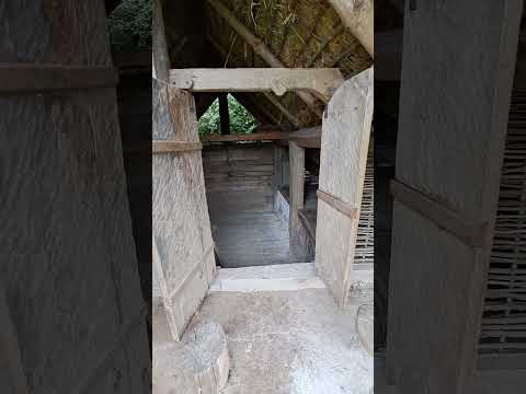
Viking Long house Cranborne Dorset UK.

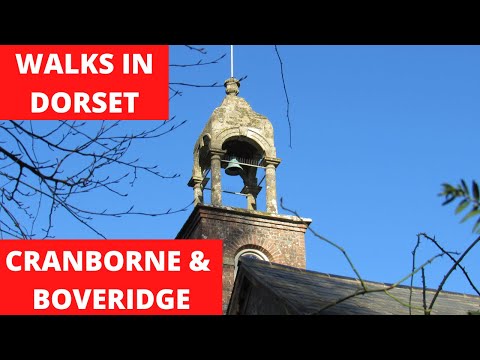
WALKS IN DORSET at CRANBORNE & BOVERIDGE

In this episode of my series “ Walks Dorset” , I take a “Winter” walk in and around the village of Cranborne. Once again I am ...

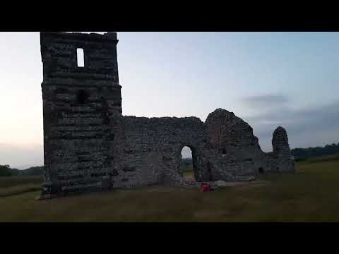
Knowlton Church ruins Cranbourne

Church Ruins that are over a hundred years old there is a lot of unexplained Paranormal activity that goes on here.

Life in Iron Age Britain | Prehistory for Kids

Join Lauren as she travels back 2200 years to the Iron Age! Lauren meets Iron Age lady, Doneca, who agrees to show her around ...

Nearby Amenities

Located within 500m of 50.936682,-1.8928574
High Haywood Copse
Place: locality
Lat/Long: 50.9380496/-1.8964347
Bottom Copse
Place: locality
Lat/Long: 50.9380728/-1.8920013
Lagbottom Copse
Place: locality
Lat/Long: 50.9392204/-1.8907504
Lagbottom Wood
Place: locality
Lat/Long: 50.9400202/-1.8902722
Little Wigmore Copse
Place: locality
Lat/Long: 50.9365194/-1.8931051
Boulsbury Wood
Place: locality
Lat/Long: 50.9372034/-1.8938593
Tenantry Wood
Place: locality
Lat/Long: 50.9337603/-1.8974648
Spring Copse
Place: locality
Lat/Long: 50.9341661/-1.8942272
Middle Moor Copse
Place: locality
Lat/Long: 50.9362644/-1.8888005
The data included in this document is from www.openstreetmap.org. The data is made available under ODbL.

Have you been to Little Wigmore Copse?

Leave your review of Little Wigmore Copse below (or comments, questions and feedback).