Quarry Wood

Wood, Forest in Durham

England

Quarry Wood

Tunstall Reservoir
Tunstall Reservoir Credit: Clive Nicholson

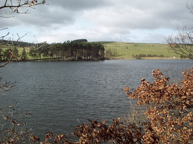
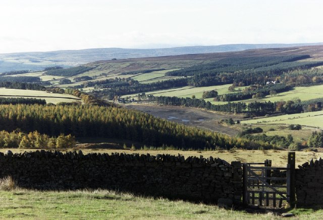
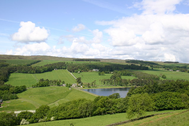
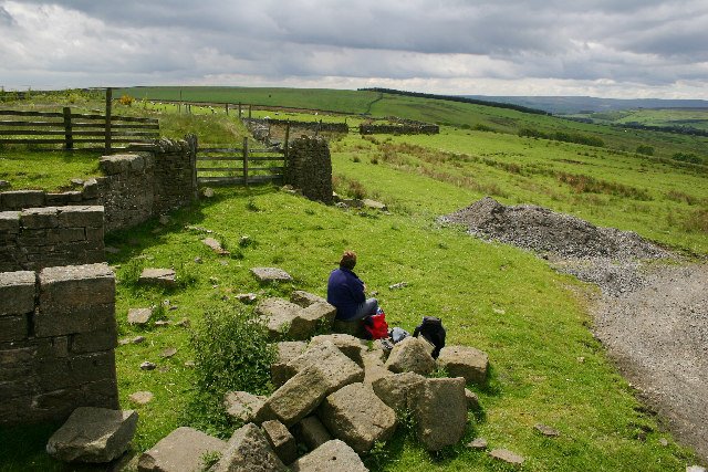
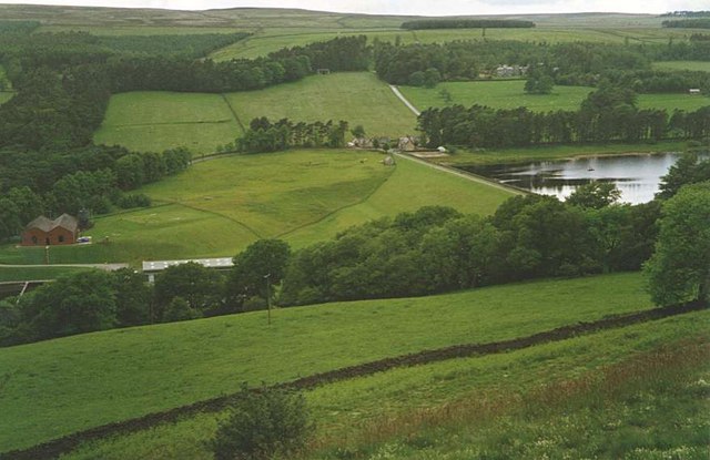
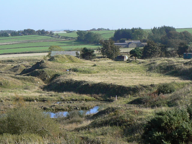
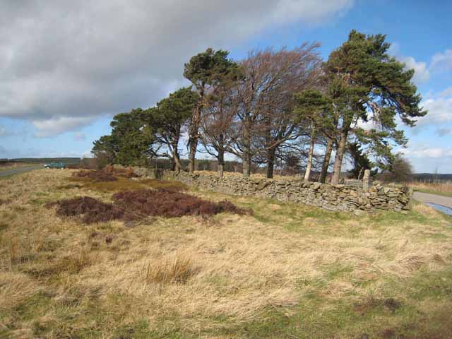
Quarry Wood, located in Durham, is a serene and picturesque woodland area that encompasses approximately 50 hectares of land. Situated just outside the village of Brancepeth, this forested area is a favorite destination for nature enthusiasts and outdoor lovers.

The wood is predominantly composed of deciduous trees, such as oak, birch, and beech, which create a diverse and vibrant ecosystem. The forest floor is covered in a lush carpet of ferns, mosses, and wildflowers, adding to the beauty of the surroundings. The tall, mature trees provide shelter and nesting sites for a variety of bird species, including woodpeckers and owls, making it a haven for birdwatchers.

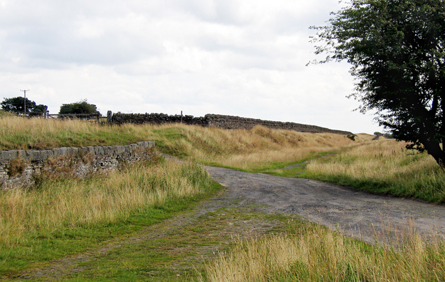
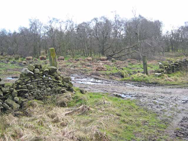
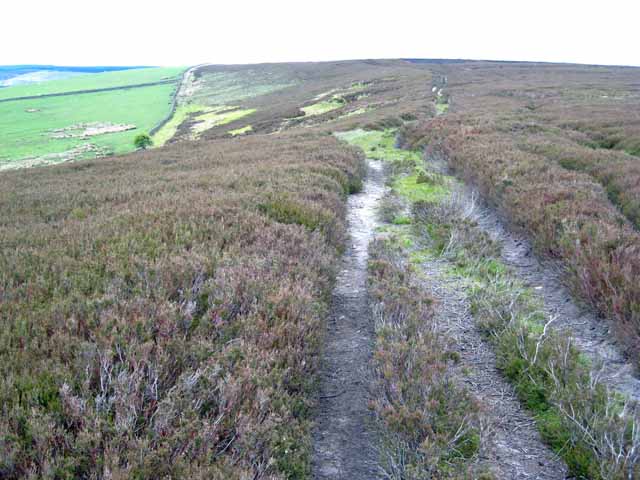
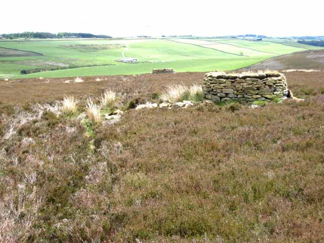
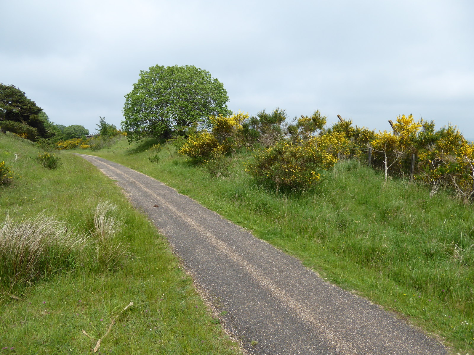
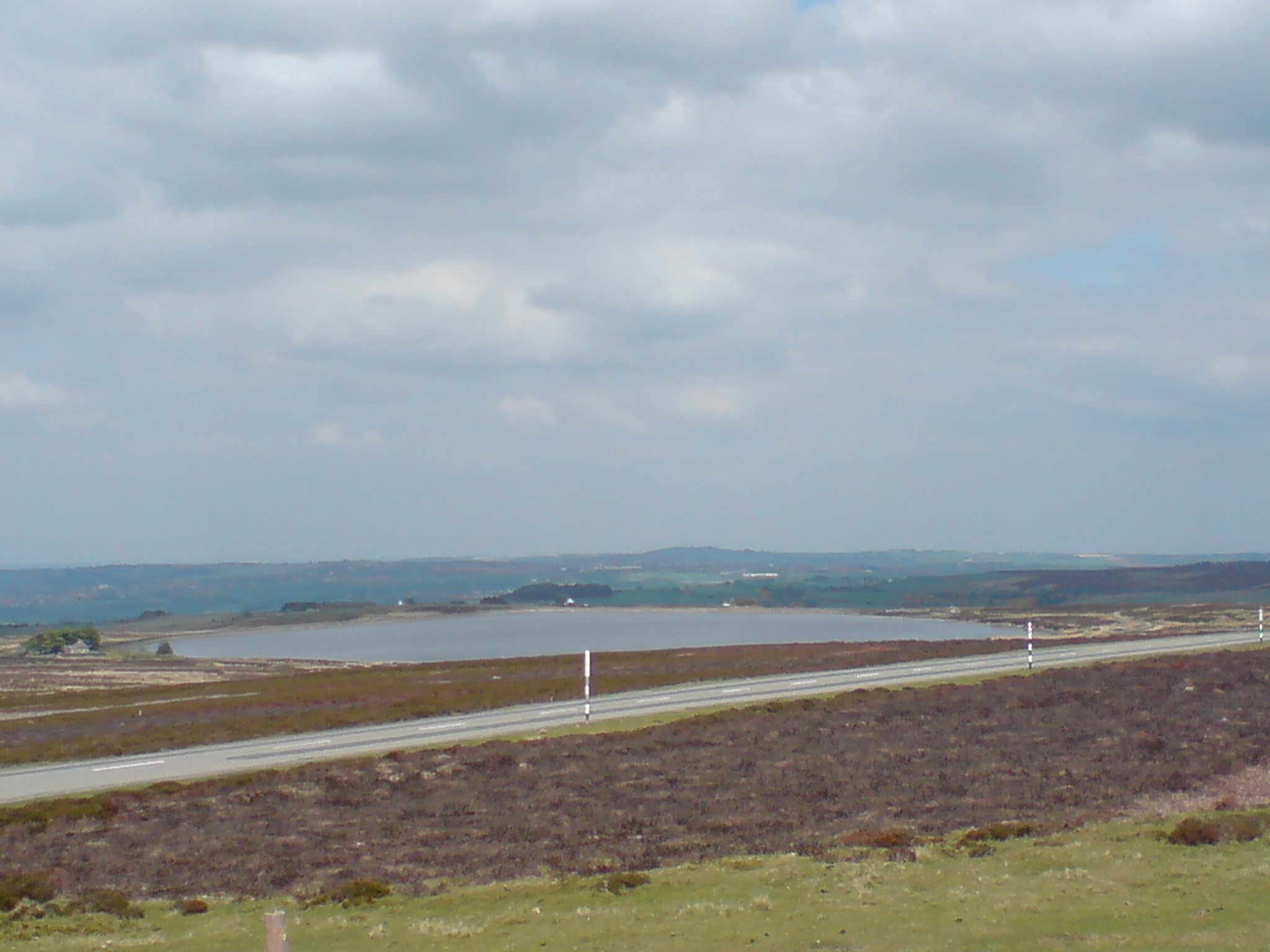
Quarry Wood is intersected by several well-maintained footpaths and trails, allowing visitors to explore the area at their own pace. These paths wind through the forest, offering glimpses of small streams and hidden clearings along the way. The wood also boasts a small pond, home to a variety of aquatic flora and fauna.

The peaceful ambiance of Quarry Wood makes it an ideal spot for picnics and relaxation. Visitors can find secluded spots to unwind and enjoy the tranquility of nature. Additionally, the wood provides ample opportunities for photography, with its stunning natural beauty and diverse wildlife.

Overall, Quarry Wood in Durham is a hidden gem for those seeking solace in nature. With its rich biodiversity and peaceful atmosphere, it offers a delightful escape from the hustle and bustle of everyday life.

If you have any feedback on the listing, please let us know in the comments section below.

Quarry Wood Images

Images are sourced within 2km of 54.772742/-1.8877061 or Grid Reference NZ0741. Thanks to Geograph Open Source API. All images are credited.

Tunstall Reservoir
Tunstall Reservoir
Tunstall Reservoir On the path from Salters Gate to Tunstall Reservoir. The reservoir was almost empty at the time.
Tunstall Reservoir
On the path from Salters Gate to Tunstall Reservoir. The reservoir was almost empty at the time.
Near Salters Gate The wall supported the platform edge on the railway which ran between Consett and Tow Law. Beyond the gate leads to Salter's Gate.
Near Salters Gate
The wall supported the platform edge on the railway which ran between Consett and Tow Law. Beyond the gate leads to Salter's Gate.
Tunstall Reservoir, - the Dam Seen from the Wolsingham to Tunstall footpath that runs up the East side of the Waskerley Beck.
Tunstall Reservoir, - the Dam
Seen from the Wolsingham to Tunstall footpath that runs up the East side of the Waskerley Beck.
Disused Rail Depot on Wolsingham North Moor Above the Tunstall Reservoir at its North end, the farm track ascends to this abandoned rail depot. This was once part of an extensive rail network up on the moors that was used for transporting mineral ores.
Disused Rail Depot on Wolsingham North Moor
Above the Tunstall Reservoir at its North end, the farm track ascends to this abandoned rail depot. This was once part of an extensive rail network up on the moors that was used for transporting mineral ores.
Tunstall Reservoir
Tunstall Reservoir
Tree shrouded farm Just a few hundred yards west of the busy A68 trunk road, this quiet minor road passes a farm.
Tree shrouded farm
Just a few hundred yards west of the busy A68 trunk road, this quiet minor road passes a farm.
Abandoned chimney This isolated brick chimney, left over from an industrial past, still dominates the agricultural scene near Quickburn Grange.
Abandoned chimney
This isolated brick chimney, left over from an industrial past, still dominates the agricultural scene near Quickburn Grange.
Old quarry The remains of the now disused Quickburn Quarry.
Old quarry
The remains of the now disused Quickburn Quarry.
Geese by Tunstall Reservoir
Tunstall Reservoir Just south of the car park and picnic site.
Tunstall Reservoir
Just south of the car park and picnic site.
Parallel walls,  Saltersgate Lane Saltersgate Lane, of which this is the southernmost extension, is a 1.5 km straight road between widely spaced walls which isn't going anywhere obviously useful. It is probable that it served way back in time as both a drovers road and as a salt road. There are many relics of the Burnhill Junction Munitions Dump (closed 1969) nearby.
Parallel walls, Saltersgate Lane
Saltersgate Lane, of which this is the southernmost extension, is a 1.5 km straight road between widely spaced walls which isn't going anywhere obviously useful. It is probable that it served way back in time as both a drovers road and as a salt road. There are many relics of the Burnhill Junction Munitions Dump (closed 1969) nearby.
Salter's Gate Road junction high on the windswept moors above the Tunstall Reservoir. Saltersgate Lane <a href="https://www.geograph.org.uk/photo/357610">NZ0742 : Parallel walls,  Saltersgate Lane</a> lies to the left.
Salter's Gate
Road junction high on the windswept moors above the Tunstall Reservoir. Saltersgate Lane NZ0742 : Parallel walls, Saltersgate Lane lies to the left.
Woodland near Salter's Gate
A spot of rural dereliction Access to the disused Quickburn Quarry.
A spot of rural dereliction
Access to the disused Quickburn Quarry.
Tunstall Reservoir looking towards the dam
North end of Thistlewood Lane Where the tarmac ends at Thistlewood Farm, Thistlewood Lane continues as a moorland track and connects the Wolsingham Road to Salter's Gate. At this point it passes through a small area of open access land; enclosed farmland drops down to Tunstall Reservoir on the left.
North end of Thistlewood Lane
Where the tarmac ends at Thistlewood Farm, Thistlewood Lane continues as a moorland track and connects the Wolsingham Road to Salter's Gate. At this point it passes through a small area of open access land; enclosed farmland drops down to Tunstall Reservoir on the left.
Grouse butts on Wolsingham North Moor Rather unusually, this stretch of grouse moor is immediately adjacent to improved farm land. The A68 runs along the crest of the hill on the other side of the valley.
Grouse butts on Wolsingham North Moor
Rather unusually, this stretch of grouse moor is immediately adjacent to improved farm land. The A68 runs along the crest of the hill on the other side of the valley.
Show me another place!

Quarry Wood is located at Grid Ref: NZ0741 (Lat: 54.772742, Lng: -1.8877061)

Unitary Authority: County Durham

Police Authority: Durham

What 3 Words

///lyricism.member.chum. Near Wolsingham, Co. Durham

Related Wikis

Backstone Bank and Baal Hill Woods

Backstone Bank and Baal Hill Woods is a Site of Special Scientific Interest in the County Durham district of Durham, England. It occupies the steep eastern...

Burnhill railway station

Burnhill railway station served the village of Waskerley, County Durham, England, from 1859 to 1939 on the Stanhope and Tyne Railway. == History == The...

High Stoop

High Stoop is a village in County Durham, England. It is situated a short distance to the north-west of Tow Law, on the A68. == References ==

Waskerley

Waskerley is a village in County Durham, England. It is situated six miles to the southwest of Consett and three miles southwest of Castleside and the...

Waskerley railway station

Waskerley railway station, also known as Waskerley Park, served the village of Waskerley, County Durham, England from 1845 to 1859 on the Stanhope and...

Murder of Harry Collinson

The murder of Harry Collinson, the planning officer for Derwentside District Council, occurred on 20 June 1991 at Butsfield, County Durham, England. At...

West Durham Wind Farm

West Durham Wind Farm is a wind farm near Tow Law, County Durham, England. == History == Developed by County Durham-based company the Banks Group, the...

River Browney

The River Browney is a river in County Durham, England, and the largest tributary of the River Wear. The River Browney rises from a spring in Head Plantation...

Nearby Amenities

Located within 500m of 54.772742,-1.8877061
Barrier: entrance
Lat/Long: 54.7709365/-1.8856734
The data included in this document is from www.openstreetmap.org. The data is made available under ODbL.

Have you been to Quarry Wood?

Leave your review of Quarry Wood below (or comments, questions and feedback).