Barewood Copse
Wood, Forest in Dorset
England
Barewood Copse

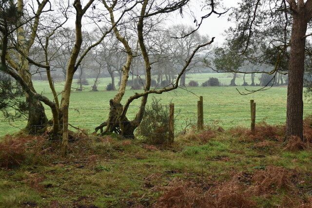
Barewood Copse is a picturesque woodland located in the county of Dorset, England. Situated in the heart of the countryside, it covers an area of approximately 100 acres and is known for its natural beauty and serene atmosphere. The copse is composed mainly of deciduous trees, including oak, beech, and ash, which create a stunning canopy of foliage during the summer months.
The woodland is home to a diverse range of wildlife, making it a popular destination for nature enthusiasts and birdwatchers. Visitors may spot various species of birds, such as woodpeckers, song thrushes, and owls, as well as small mammals like rabbits and squirrels. In spring, the forest floor is adorned with a colourful carpet of bluebells, adding to its charm.
Barewood Copse offers several walking trails, allowing visitors to explore its beauty at their own pace. The paths wind through the forest, providing glimpses of ancient trees and secluded clearings. The peacefulness of the woodland makes it a perfect spot for a leisurely stroll or a picnic surrounded by nature.
The copse is well-maintained and cared for by local authorities, ensuring that it remains a haven for flora and fauna. It is easily accessible by foot or bike, with designated parking areas nearby. Whether you are seeking tranquillity, wildlife sightings, or simply a break from the hustle and bustle of everyday life, Barewood Copse is a must-visit destination in Dorset.
If you have any feedback on the listing, please let us know in the comments section below.
Barewood Copse Images
Images are sourced within 2km of 50.844973/-1.897314 or Grid Reference SU0705. Thanks to Geograph Open Source API. All images are credited.


Barewood Copse is located at Grid Ref: SU0705 (Lat: 50.844973, Lng: -1.897314)
Unitary Authority: Dorset
Police Authority: Dorset
What 3 Words
///swells.changed.shrugging. Near Three Legged Cross, Dorset
Nearby Locations
Related Wikis

Three Legged Cross
Three Legged Cross is an extended village within Verwood civil parish in east Dorset, England. It lies to the south of the town of Verwood and to the north...

Mannington, Dorset
Mannington and its southerly neighbour Lower Mannington are hamlets in the English county of Dorset. They are located within Holt parish 2.5 miles (4 km...
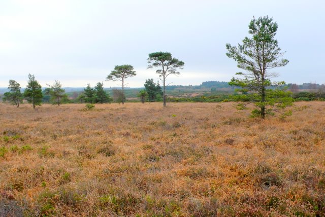
Holt Heath, Dorset
Holt Heath is a 4.88 square kilometres (1.88 sq mi) common situated four miles north-east of Wimborne Minster in east Dorset, southern England, close to...

Woolsbridge
Woolsbridge is a village in Dorset, England. Woolsbridge was formerly under the control of the Earl of Normanton and is a part of the civil parish of Cranbourne...

West Moors railway station
West Moors is a closed railway station in Dorset. Opened in 1867, it became the junction of the Southampton and Dorchester Railway and the Salisbury and...
Horton Heath, Dorset
Horton Heath is a small village in Dorset, England situated one mile from Three Legged Cross and two miles from Horton. It consists of a main road, with...

West Moors
West Moors is a village in Dorset, England, on the northern fringe of the Poole-Bournemouth conurbation, just outside the larger settlements of Ferndown...
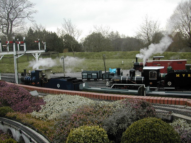
Moors Valley Railway
The Moors Valley Railway is a 7+1⁄4 in (184 mm) narrow gauge passenger railway, in the Moors Valley Country Park at Ashley Heath, Dorset, England near...
Nearby Amenities
Located within 500m of 50.844973,-1.897314Have you been to Barewood Copse?
Leave your review of Barewood Copse below (or comments, questions and feedback).