Ninety Acre Allotment
Downs, Moorland in Durham
England
Ninety Acre Allotment

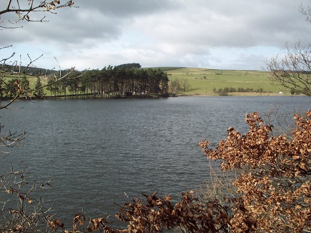
Ninety Acre Allotment, located in Durham, is a vast expanse of land encompassing downs and moorland. Spanning an area of approximately ninety acres, this allotment is renowned for its diverse and picturesque landscape.
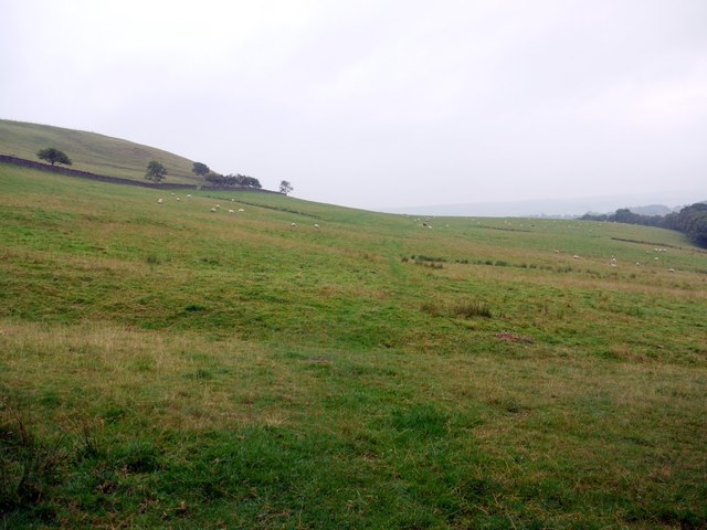
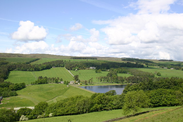
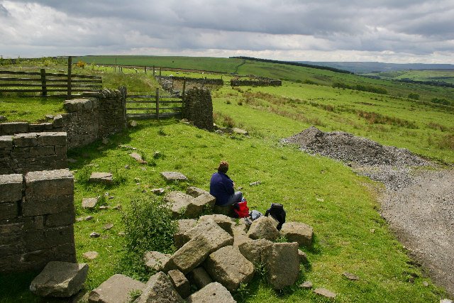
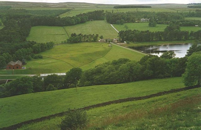
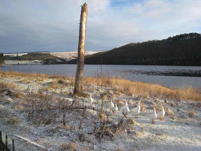
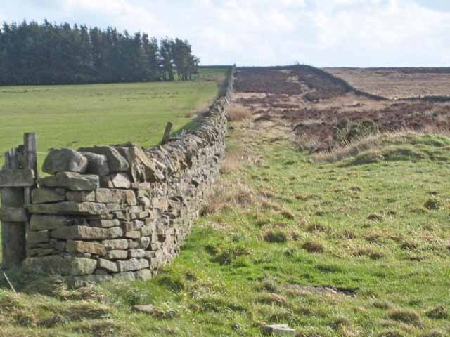
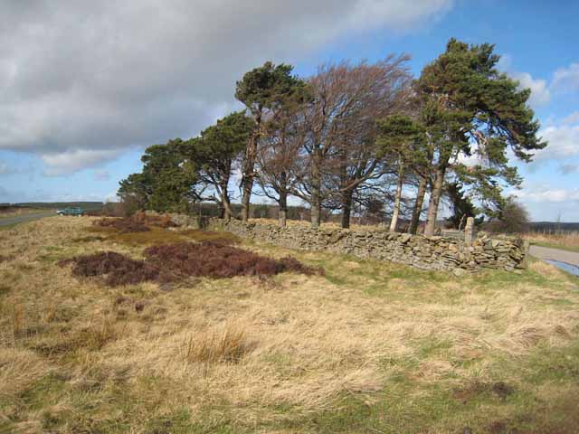
The downs section of Ninety Acre Allotment is characterized by its rolling hills and open grasslands. It offers visitors breathtaking panoramic views of the surrounding countryside, making it a popular destination for nature enthusiasts and hikers. The diverse flora and fauna found in this area further enhance its appeal, with wildflowers and grasses dotting the landscape.
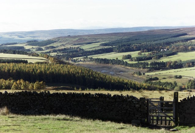
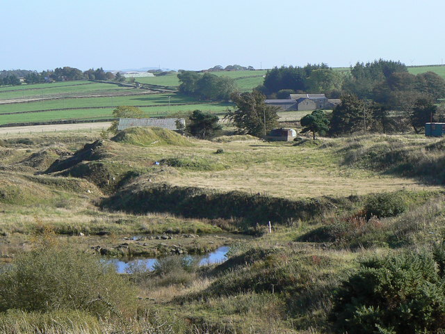
Adjacent to the downs lies the moorland section of the allotment. This wild and rugged terrain is characterized by its heather-covered hills and peat bogs. Moorland birds, such as curlews and lapwings, can often be spotted, adding to the rich biodiversity of the area.
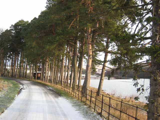
Ninety Acre Allotment provides ample opportunities for outdoor activities. Its well-maintained pathways and trails make it an ideal location for walking, jogging, and cycling. Additionally, the open spaces of the downs offer plenty of room for picnics and recreational activities.
This allotment is not only popular among locals but also attracts visitors from afar. Its peaceful and serene atmosphere, coupled with its stunning natural beauty, make it a perfect escape from the hustle and bustle of everyday life.
In summary, Ninety Acre Allotment in Durham is a vast and diverse landscape consisting of downs and moorland. With its captivating views, abundant wildlife, and opportunities for outdoor activities, it is a beloved destination for nature lovers and those seeking tranquility in a picturesque setting.
If you have any feedback on the listing, please let us know in the comments section below.
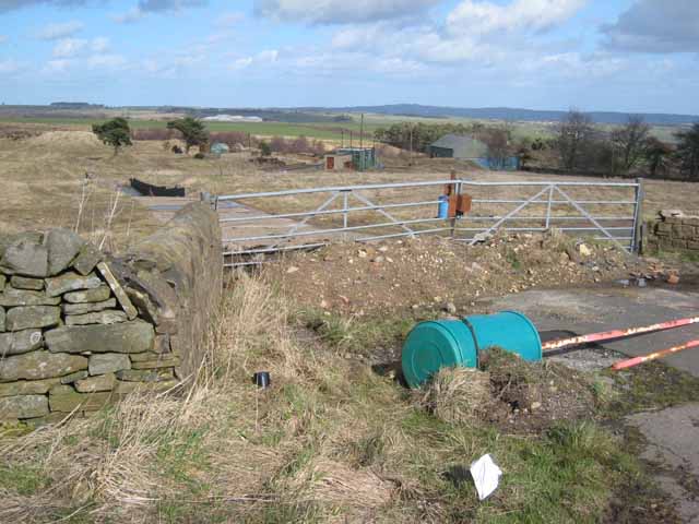
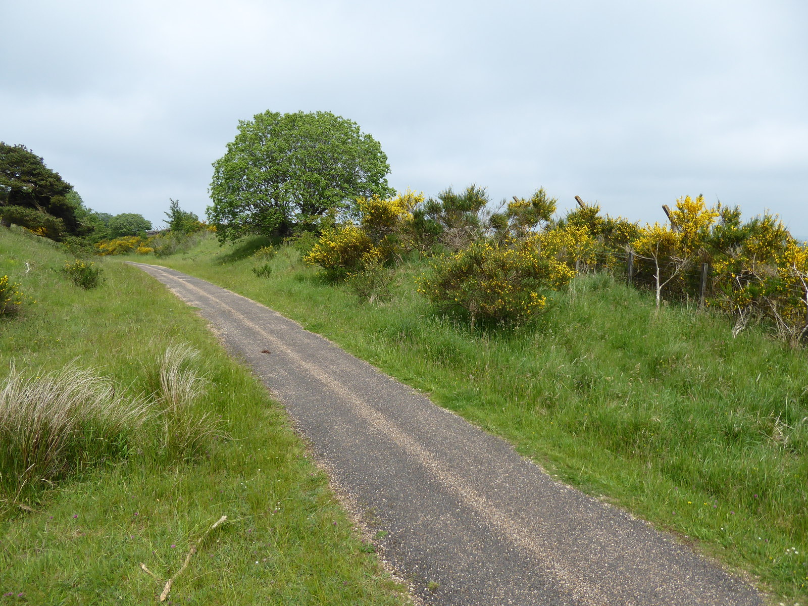
Ninety Acre Allotment Images
Images are sourced within 2km of 54.765419/-1.8792717 or Grid Reference NZ0741. Thanks to Geograph Open Source API. All images are credited.


Ninety Acre Allotment is located at Grid Ref: NZ0741 (Lat: 54.765419, Lng: -1.8792717)
Unitary Authority: County Durham
Police Authority: Durham
What 3 Words
///spans.commutes.unwanted. Near Wolsingham, Co. Durham
Nearby Locations
Related Wikis

Backstone Bank and Baal Hill Woods
Backstone Bank and Baal Hill Woods is a Site of Special Scientific Interest in the County Durham district of Durham, England. It occupies the steep eastern...

High Stoop
High Stoop is a village in County Durham, England. It is situated a short distance to the north-west of Tow Law, on the A68. == References ==

Inkerman, County Durham
Inkerman was a village in County Durham, England. Built in 1854–1855 a short distance to the north-west of Tow Law to house ironstone miners, it was named...

Wolsingham School
Wolsingham School is a coeducational secondary school located in Wolsingham, County Durham, England.The school is situated just off the A689, and near...

West Durham Wind Farm
West Durham Wind Farm is a wind farm near Tow Law, County Durham, England. == History == Developed by County Durham-based company the Banks Group, the...
Burnhill railway station
Burnhill railway station served the village of Waskerley, County Durham, England, from 1859 to 1939 on the Stanhope and Tyne Railway. == History == The...
Wolsingham
Wolsingham is a market town in Weardale, County Durham, England. It is situated by the River Wear, between Crook and Stanhope. == History == Wolsingham...
Tow Law Town F.C.
Tow Law Town Association Football Club is an English non-league football club from Tow Law, County Durham, currently playing in the Northern League Division...
Nearby Amenities
Located within 500m of 54.765419,-1.8792717Have you been to Ninety Acre Allotment?
Leave your review of Ninety Acre Allotment below (or comments, questions and feedback).