Baal Hill Wood

Wood, Forest in Durham

England

Baal Hill Wood

Iron bridge over reservoir spillway This is at the eastern end of the dam impounding the waters of Tunstall Reservoir.
The white mass against the pillar at the far end of the bridge is ice. Water had run down on to the platform of the bridge which over a few days of freezing weather gave rise to the ice formation and also made the crossing of that bridge a little tricky.
Iron bridge over reservoir spillway Credit: Trevor Littlewood

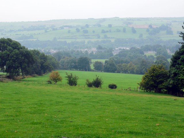
Baal Hill Wood, located in Durham, England, is a captivating woodland that covers an area of approximately 50 acres. The wood is nestled on the outskirts of the picturesque village of Durham and is easily accessible via a network of public footpaths.

This ancient forest boasts a diverse range of flora and fauna, making it a haven for nature enthusiasts and wildlife lovers. The woodland is primarily composed of mature deciduous trees, including oak, beech, and ash, creating a lush and vibrant canopy that changes with the seasons. The forest floor is adorned with a rich carpet of bluebells in the spring, adding a touch of enchantment to the landscape.

Visitors to Baal Hill Wood can explore an extensive network of well-maintained trails that wind their way through the forest, providing ample opportunities for peaceful walks, picnics, and wildlife spotting. The wood is home to a variety of bird species, such as woodpeckers, owls, and thrushes, as well as small mammals like squirrels and foxes.

The management of Baal Hill Wood is focused on preserving its natural beauty and biodiversity. The wood is part of a conservation initiative that aims to protect and enhance its ecological value. Conservation efforts include the maintenance of wildlife habitats, the removal of invasive plant species, and the promotion of sustainable forestry practices.

In summary, Baal Hill Wood in Durham offers visitors a serene and enchanting experience, with its ancient trees, vibrant flora, and diverse wildlife. It serves as a vital part of the local ecosystem and is a cherished natural resource for both residents and visitors alike.

If you have any feedback on the listing, please let us know in the comments section below.

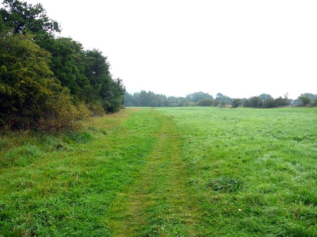
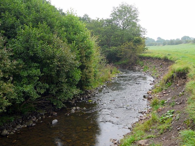
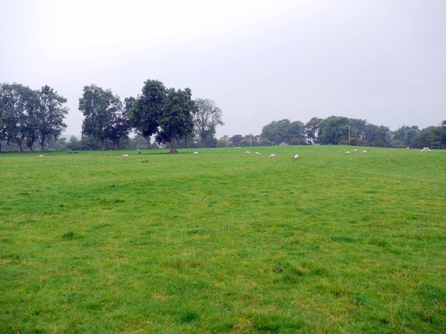
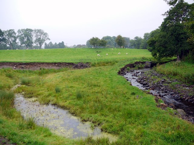
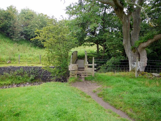
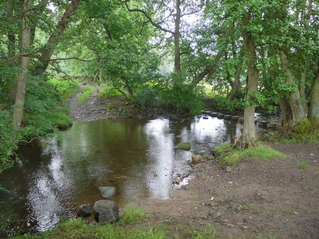
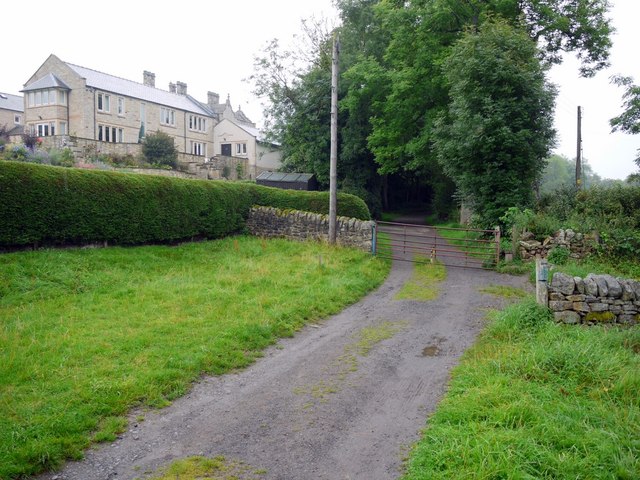
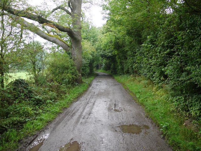
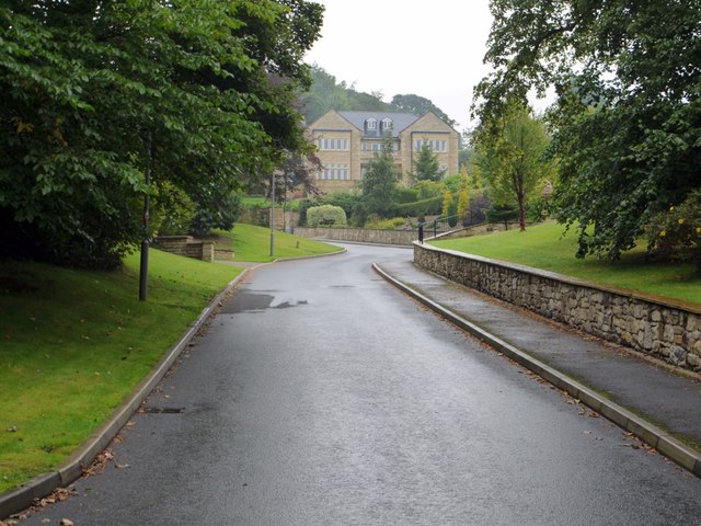
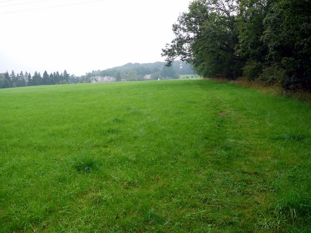
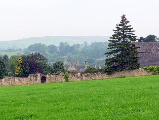
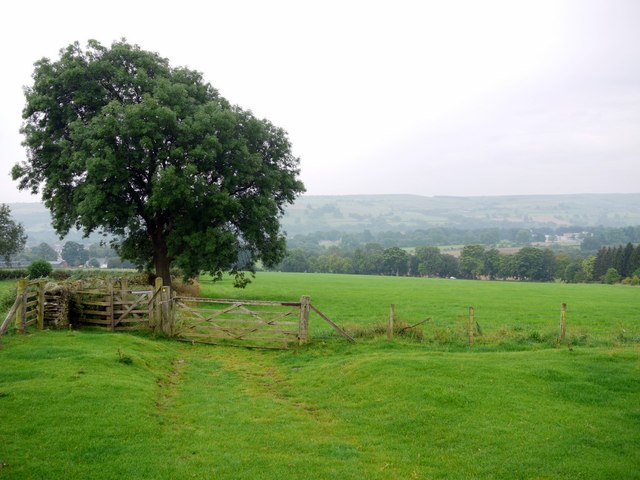
Baal Hill Wood Images

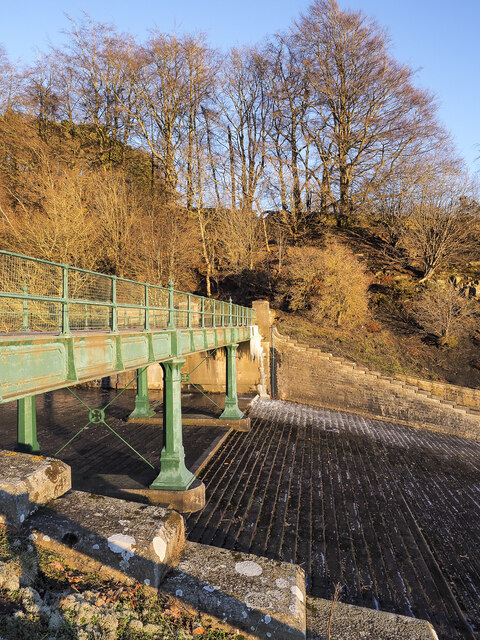
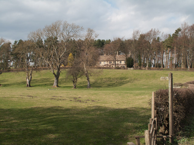
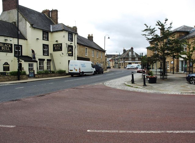
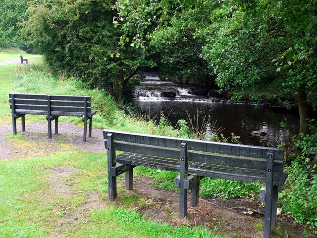
Images are sourced within 2km of 54.745059/-1.8922718 or Grid Reference NZ0738. Thanks to Geograph Open Source API. All images are credited.

Iron bridge over reservoir spillway This is at the eastern end of the dam impounding the waters of Tunstall Reservoir.
The white mass against the pillar at the far end of the bridge is ice. Water had run down on to the platform of the bridge which over a few days of freezing weather gave rise to the ice formation and also made the crossing of that bridge a little tricky.
Iron bridge over reservoir spillway
This is at the eastern end of the dam impounding the waters of Tunstall Reservoir. The white mass against the pillar at the far end of the bridge is ice. Water had run down on to the platform of the bridge which over a few days of freezing weather gave rise to the ice formation and also made the crossing of that bridge a little tricky.
Field north of Ladley Burn and south of Ladley Burn A field, south of Ladley Burn the house - seen against the backdrop of trees and north of Ladley Burn the stream - out of view in front of the camera position; the footpath runs along its north bank.
Field north of Ladley Burn and south of Ladley Burn
A field, south of Ladley Burn the house - seen against the backdrop of trees and north of Ladley Burn the stream - out of view in front of the camera position; the footpath runs along its north bank.
The centre of Wolsingham
Grand day for ducks, Demesne Mill picnic area This area is the site of a medieval water-mill but little remains apart from some wall fragments and part of the mill race further along the Waskerley Beck. The building was demolished in 1951. A mill here was possibly established in Norman times.
Keys to the Past: <span class="nowrap"><a title="http://www.keystothepast.info/article/10339/site-Details?PRN=D2185" rel="nofollow ugc noopener" href="http://www.keystothepast.info/article/10339/site-Details?PRN=D2185">Link</a><img style="margin-left:2px;" alt="External link" title="External link - shift click to open in new window" src="https://s1.geograph.org.uk/img/external.png" width="10" height="10"/></span>
Grand day for ducks, Demesne Mill picnic area
This area is the site of a medieval water-mill but little remains apart from some wall fragments and part of the mill race further along the Waskerley Beck. The building was demolished in 1951. A mill here was possibly established in Norman times. Keys to the Past: LinkExternal link
Waterfall on Waskerley Beck Although the map shows these as 'falls', the local name seems more apt, 'The Sills'.

The location is a detour on Wolsingham's Wheelchair Walk <a href="https://www.geograph.org.uk/photo/1586180">NZ0737 : Wheelchair-friendly kissing gate</a>
Waterfall on Waskerley Beck
Although the map shows these as 'falls', the local name seems more apt, 'The Sills'. The location is a detour on Wolsingham's Wheelchair Walk NZ0737 : Wheelchair-friendly kissing gate
Footpath by Waskerley Beck
Waskerley Beck
Waskerley Beck
Sheep pasture north-east of Mayfield
Thornhope Beck On the left is part of the original stream bed now cut off as an oxbow lake. Thornhope Beck joins Waskerley Beck just below this point.
Thornhope Beck
On the left is part of the original stream bed now cut off as an oxbow lake. Thornhope Beck joins Waskerley Beck just below this point.
Footbridge over Thornhope Beck Known locally as the Jack Walker Bridge <span class="nowrap"><a title="http://collections.beamish.org.uk/search-detail?item=NEG183968" rel="nofollow ugc noopener" href="http://collections.beamish.org.uk/search-detail?item=NEG183968">Link</a><img style="margin-left:2px;" alt="External link" title="External link - shift click to open in new window" src="https://s1.geograph.org.uk/img/external.png" width="10" height="10"/></span>
An old photo shows there was also a Jack Walker dam. The old maps do not show its location but it may also have been near here where there was a weir on the Waskerley Beck from where a mill race started leading to the former Demesne Mill. The depression in the corner of the field may be the remains of such a mill pond although it now looks like an earlier course of the Thornhope Beck <a href="https://www.geograph.org.uk/photo/2575243">NZ0737 : Thornhope Beck</a>
Footbridge over Thornhope Beck
Known locally as the Jack Walker Bridge LinkExternal link An old photo shows there was also a Jack Walker dam. The old maps do not show its location but it may also have been near here where there was a weir on the Waskerley Beck from where a mill race started leading to the former Demesne Mill. The depression in the corner of the field may be the remains of such a mill pond although it now looks like an earlier course of the Thornhope Beck NZ0737 : Thornhope Beck
Ford and stepping stones across Waskerley Beck
Track below Holywood The house is part of the complex at Orchard House, part of the prestigious Holywood estate. The chimneys of Holywood Hall can be seen behind <span class="nowrap"><a title="http://collections.beamish.org.uk/search-detail?item=NEG27807" rel="nofollow ugc noopener" href="http://collections.beamish.org.uk/search-detail?item=NEG27807">Link</a><img style="margin-left:2px;" alt="External link" title="External link - shift click to open in new window" src="https://s1.geograph.org.uk/img/external.png" width="10" height="10"/></span> It was once home to the industrialist, Charles Atwood who built Wolsingham Steel Works at Stanner's Close in the 1860s <a title="https://www.geograph.org.uk/snippet/188" href="https://www.geograph.org.uk/snippet/188">Link</a>
Track below Holywood
The house is part of the complex at Orchard House, part of the prestigious Holywood estate. The chimneys of Holywood Hall can be seen behind LinkExternal link It was once home to the industrialist, Charles Atwood who built Wolsingham Steel Works at Stanner's Close in the 1860s Link
Track south of Holywood The track provides access to Low Doctor Pasture Farm by the Waskerley Beck.
Track south of Holywood
The track provides access to Low Doctor Pasture Farm by the Waskerley Beck.
Estate road, Holywood
Path to Baal Hill House near Holy Well
The chimneys of Holywood Hall, Holywood Holywood Hall was once the home of Charles Attwood who built the Wolsingham Steel Works in the 1860s, starting a prestigious business and major employer in the town. The hall is now divided into four individual properties. The modern houses of the Holywood Estate were built on the site of a sanatorium for tuberculosis patients.
The chimneys of Holywood Hall, Holywood
Holywood Hall was once the home of Charles Attwood who built the Wolsingham Steel Works in the 1860s, starting a prestigious business and major employer in the town. The hall is now divided into four individual properties. The modern houses of the Holywood Estate were built on the site of a sanatorium for tuberculosis patients.
Footpath east of Holywood
Wolsingham from fields below Baal Hill House
Show me another place!

Baal Hill Wood is located at Grid Ref: NZ0738 (Lat: 54.745059, Lng: -1.8922718)

Unitary Authority: County Durham

Police Authority: Durham

What 3 Words

///signature.penny.radically. Near Wolsingham, Co. Durham

Nearby Locations

Baal Hill Wood

Related Wikis

Wolsingham School

Wolsingham School is a coeducational secondary school located in Wolsingham, County Durham, England.The school is situated just off the A689, and near...

Wolsingham

Wolsingham is a market town in Weardale, County Durham, England. It is situated by the River Wear, between Crook and Stanhope. == History == Wolsingham...

Backstone Bank and Baal Hill Woods

Backstone Bank and Baal Hill Woods is a Site of Special Scientific Interest in the County Durham district of Durham, England. It occupies the steep eastern...

High Stoop

High Stoop is a village in County Durham, England. It is situated a short distance to the north-west of Tow Law, on the A68. == References ==

Nearby Amenities

Located within 500m of 54.745059,-1.8922718
High Doctor Pasture
Addr City: Bishop Auckland
Addr Postcode: DL13 3LR
Addr Suburb: Wolsingham
Place: isolated_dwelling
Source Name: OS OpenData StreetView
Source Postcode: CodePoint Open
Lat/Long: 54.7411469/-1.894459
Barrier: entrance
Lat/Long: 54.7433223/-1.8856204
Barrier: entrance
Lat/Long: 54.7437628/-1.8994975
The data included in this document is from www.openstreetmap.org. The data is made available under ODbL.

Have you been to Baal Hill Wood?

Leave your review of Baal Hill Wood below (or comments, questions and feedback).