Bank End Plantation

Wood, Forest in Yorkshire

England

Bank End Plantation

No footpath through Sonoco plant
No footpath through Sonoco plant Credit: Chris Wimbush

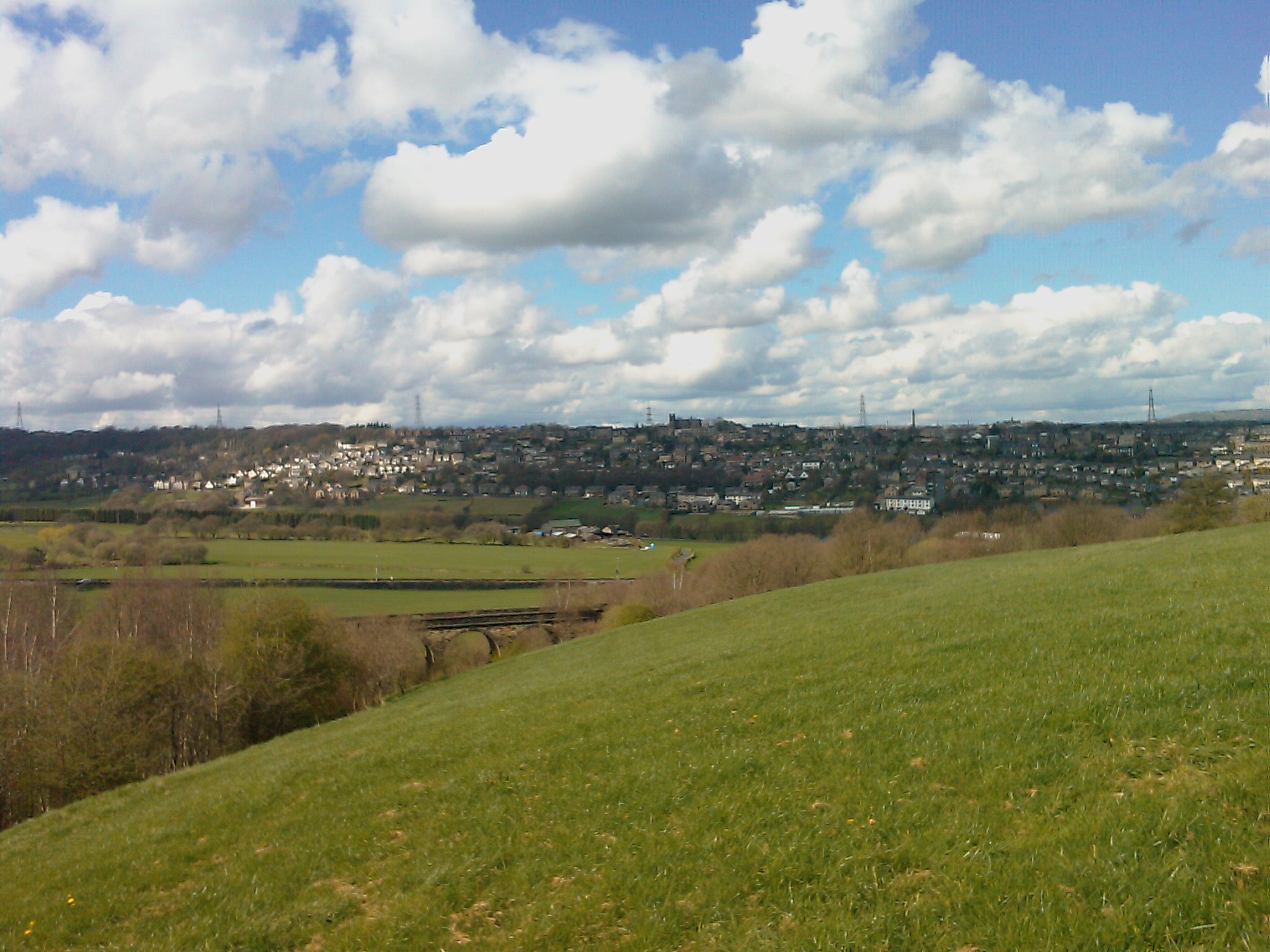
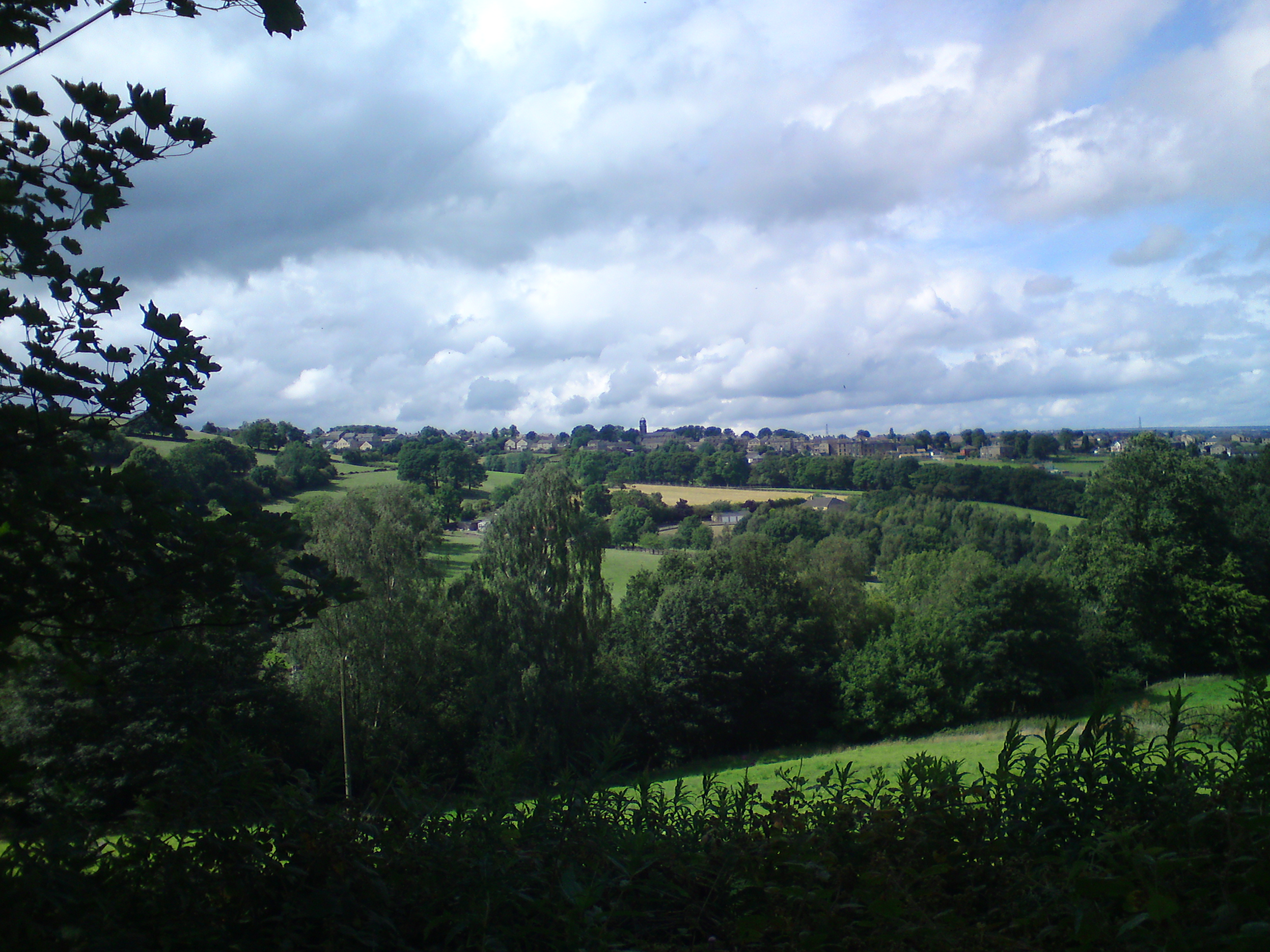
Bank End Plantation is a picturesque woodland located in Yorkshire, England. Covering an area of approximately 100 acres, it is renowned for its breathtaking beauty and rich biodiversity. The plantation is situated on the outskirts of a small village, surrounded by rolling hills and idyllic countryside.

The woodland is predominantly composed of native tree species such as oak, beech, and birch, which create a dense canopy and provide a natural habitat for a diverse range of flora and fauna. The forest floor is adorned with an array of wildflowers, including bluebells, primroses, and wood anemones, adding a splash of color to the landscape during springtime.

Bank End Plantation is a haven for wildlife enthusiasts, as it is home to a variety of animal species. Visitors may spot roe deer, foxes, and squirrels amidst the trees, while birdwatchers can enjoy the sight of woodpeckers, owls, and various songbirds that inhabit the area. The woodland also houses a small pond, attracting frogs, newts, and dragonflies.

The plantation offers a network of well-maintained walking trails, allowing visitors to explore its beauty at their own pace. These trails meander through the woodland, providing opportunities for peaceful strolls and nature observation. The plantation is popular among families, hikers, and nature lovers who seek tranquility and a connection with the natural world.

Bank End Plantation is a cherished natural treasure in Yorkshire, offering a serene escape from the bustle of urban life and providing a valuable habitat for a wide range of plant and animal species.

If you have any feedback on the listing, please let us know in the comments section below.

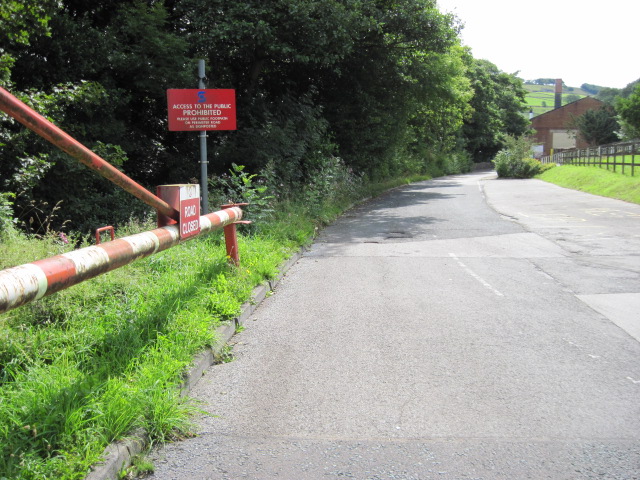
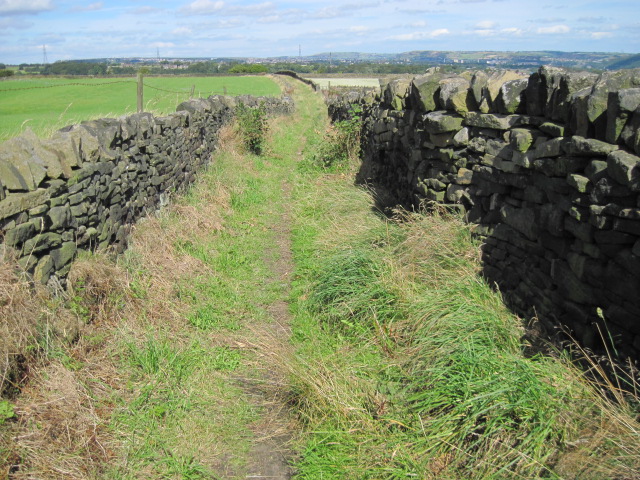
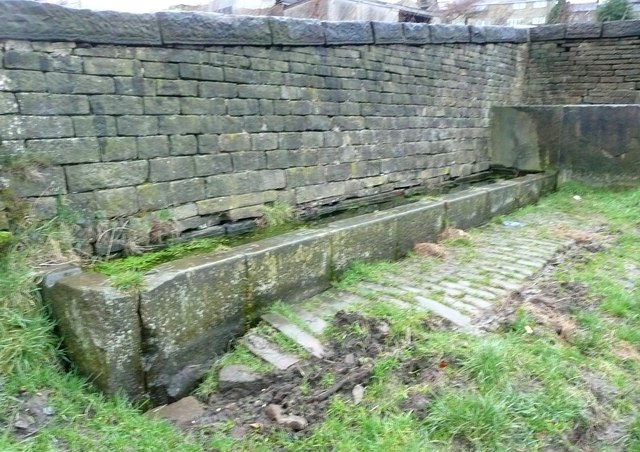
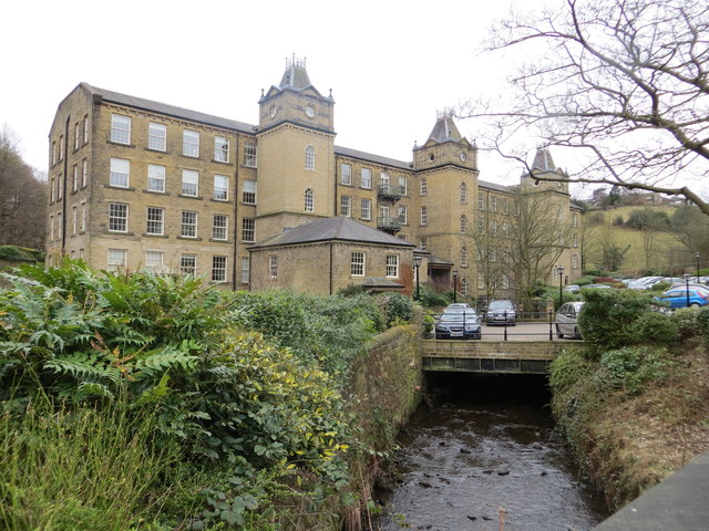
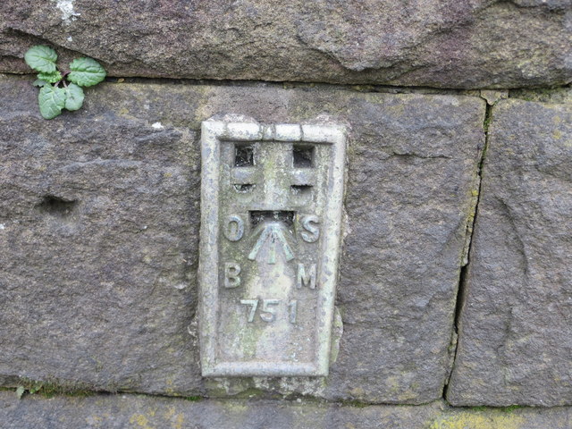
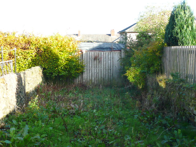
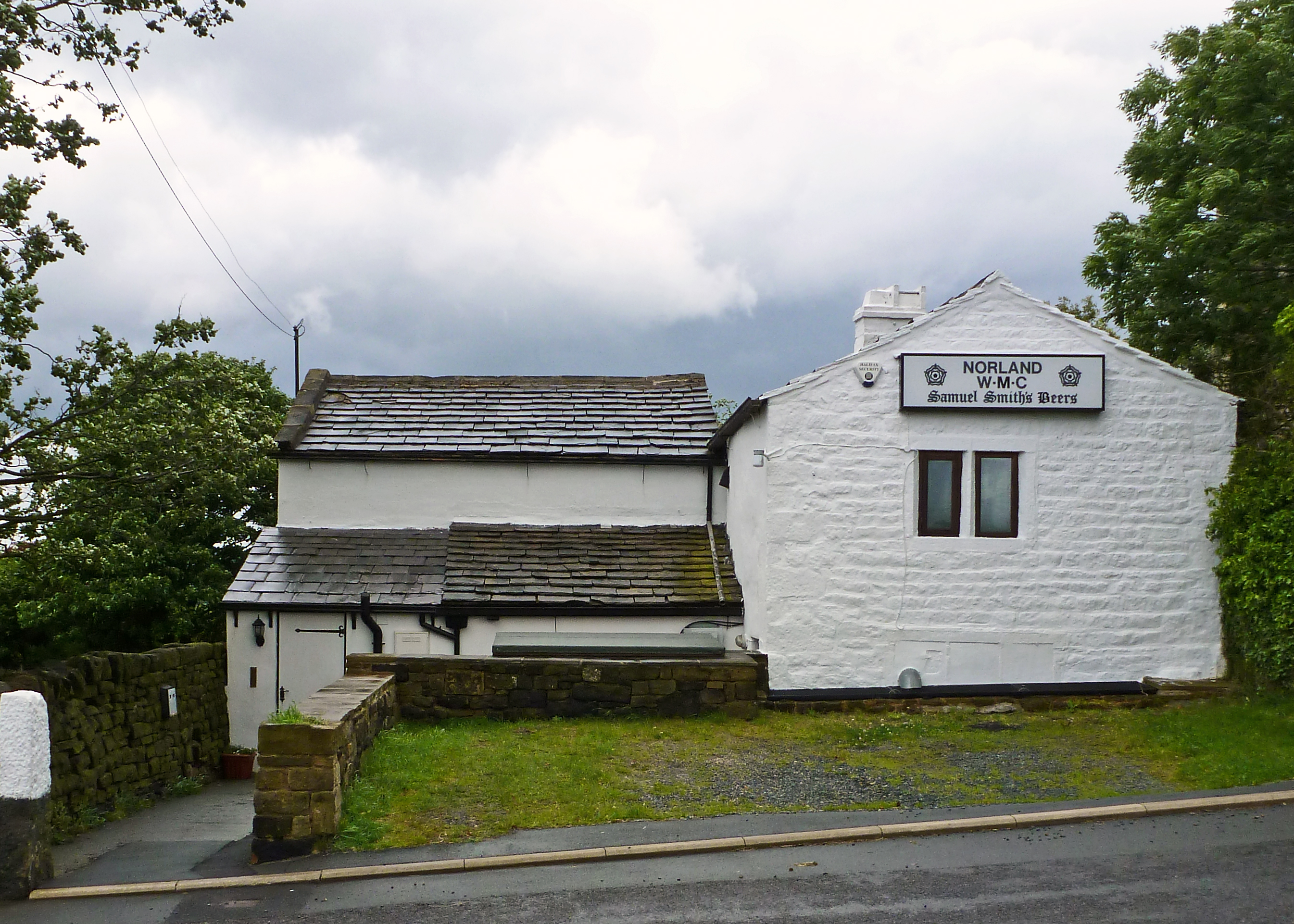
Bank End Plantation Images

Images are sourced within 2km of 53.686317/-1.895001 or Grid Reference SE0721. Thanks to Geograph Open Source API. All images are credited.

No footpath through Sonoco plant
Drury Lane footpath, Stainland
Water trough, Carr Hall Lane, Stainland A long trough with a compartment at the inlet end, presumably to keep animals away from the part used by people collecting water for domestic consumption.
Water trough, Carr Hall Lane, Stainland
A long trough with a compartment at the inlet end, presumably to keep animals away from the part used by people collecting water for domestic consumption.
Barkisland Mill This picture was taken looking south from Barkisland Bridge. The former mill has now been converted into apartments.
Barkisland Mill
This picture was taken looking south from Barkisland Bridge. The former mill has now been converted into apartments.
Ordnance Survey Flush Bracket 751 This can be found on the wall of Barkisland Mill Bridge.
For more details see : <span class="nowrap"><a title="http://www.bench-marks.org.uk/log?bm_key=9904" rel="nofollow ugc noopener" href="http://www.bench-marks.org.uk/log?bm_key=9904">Link</a><img style="margin-left:2px;" alt="External link" title="External link - shift click to open in new window" src="https://s1.geograph.org.uk/img/external.png" width="10" height="10"/></span>
Ordnance Survey Flush Bracket 751
This can be found on the wall of Barkisland Mill Bridge. For more details see : LinkExternal link
Houses at Bank House, Stainland Some of these are refurbished millworkers houses, such as the tall block on the left, and some newly built on the site of a mill.
Houses at Bank House, Stainland
Some of these are refurbished millworkers houses, such as the tall block on the left, and some newly built on the site of a mill.
Beestonley Lane at Scar Hill
Rob Royd, Beestonley Lane, Stainland A mid-18C farmhouse and barn, Grade II listed but looking sadly derelict.
Rob Royd, Beestonley Lane, Stainland
A mid-18C farmhouse and barn, Grade II listed but looking sadly derelict.
Drury Lane, Stainland The village still has narrow streets which preserve its character.
Drury Lane, Stainland
The village still has narrow streets which preserve its character.
The Pub, Stainland This is now its name, but it could lead to confusion as there are other pubs in the village.
The Pub, Stainland
This is now its name, but it could lead to confusion as there are other pubs in the village.
Stainland Mechanics' Institute This housed the community centre for a while but it is now considered too expensive to maintain and surplus to the requirements of the local council. It looks like it should have been a non-conformist chapel.
Stainland Mechanics' Institute
This housed the community centre for a while but it is now considered too expensive to maintain and surplus to the requirements of the local council. It looks like it should have been a non-conformist chapel.
The Bull & Dog, Stainland A pub which closed in 2008.
The Bull & Dog, Stainland
A pub which closed in 2008.
Stainland Dean A road which descends quite steeply into the valley of Black Brook on the west side of Stainland.
Stainland Dean
A road which descends quite steeply into the valley of Black Brook on the west side of Stainland.
Terrace houses, Stainland Road
Church Lane, Stainland This is an unadopted lane of the type classed as a 'Byway open to all Traffic' (BOAT), numbered Elland 98. It is captioned 'Bradley Lane' on the 1850 map.
Church Lane, Stainland
This is an unadopted lane of the type classed as a 'Byway open to all Traffic' (BOAT), numbered Elland 98. It is captioned 'Bradley Lane' on the 1850 map.
Church Lane, Stainland This is the old road from Stainland village to Bradley Hall, shown on the 1850 OS map as 'Bradley Lane' and shown earlier on Myers's map of 1835. It is an unadopted street, but despite its 'pedigree' is not classed as a public right-of-way apart from what is implied by being on the street list. An application was made in 2005 for it to be classed as a public bridleway.
Church Lane, Stainland
This is the old road from Stainland village to Bradley Hall, shown on the 1850 OS map as 'Bradley Lane' and shown earlier on Myers's map of 1835. It is an unadopted street, but despite its 'pedigree' is not classed as a public right-of-way apart from what is implied by being on the street list. An application was made in 2005 for it to be classed as a public bridleway.
Church Lane, Stainland, blocked by fence and shed Church Lane is an ancient highway and an unadopted street, so it was an unpleasant surprise to find it completely blocked by a high fence with what looks like a shed behind it.
Church Lane, Stainland, blocked by fence and shed
Church Lane is an ancient highway and an unadopted street, so it was an unpleasant surprise to find it completely blocked by a high fence with what looks like a shed behind it.
Church Lane, Stainland This is the eastern end of the part of the lane that runs parallel to West View. You can see the other side of the blockage shown in <a href="https://www.geograph.org.uk/photo/3735240">SE0819 : Church Lane, Stainland, blocked by fence and shed</a>.
Church Lane, Stainland
This is the eastern end of the part of the lane that runs parallel to West View. You can see the other side of the blockage shown in SE0819 : Church Lane, Stainland, blocked by fence and shed.
Show me another place!

Bank End Plantation is located at Grid Ref: SE0721 (Lat: 53.686317, Lng: -1.895001)

Division: West Riding

Unitary Authority: Calderdale

Police Authority: West Yorkshire

What 3 Words

///soils.comic.cheese. Near Barkisland, West Yorkshire

Related Wikis

Greetland

Greetland is a village in the metropolitan borough of Calderdale in West Yorkshire, England. It lies in the Calderdale Ward of Greetland and Stainland...

Norland, West Yorkshire

Norland is a dispersed village south of Sowerby Bridge in the metropolitan borough of Calderdale in West Yorkshire, England. == History == Historically...

Stainland

Stainland is a village in the civil parish of Stainland and District, in Calderdale, West Yorkshire, England. The village is part of the Greetland and...

Barkisland

Barkisland () is a village in Calderdale, West Yorkshire, England. Historically part of the West Riding of Yorkshire, it is 1 mile (1.6 km) east of Ripponden...

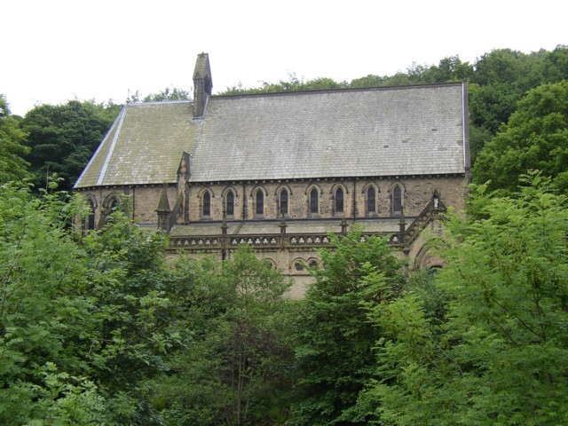
St Stephen's Church, Copley

St Stephen's Church is a redundant Anglican church in the village of Copley, West Yorkshire, England. It is recorded in the National Heritage List for...

Copley, West Yorkshire

Copley is a village in the metropolitan borough of Calderdale, in the county of West Yorkshire, England, south of Halifax and east of Sowerby Bridge. It...

Holywell Green

Holywell Green is a village in the civil parish of Stainland and District, in the Calderdale, district, in the county of West Yorkshire, England. The village...

Watson's Crossing Halt railway station

Watson's Crossing Halt was a halt on the Rishworth branch, in West Yorkshire, England built by the Lancashire & Yorkshire Railway. It was located just...

Nearby Amenities

Located within 500m of 53.686317,-1.895001
Design: barrel
Power: tower
Lat/Long: 53.6896236/-1.8927299
Design: barrel
Power: tower
Lat/Long: 53.6865948/-1.8978175
Design: barrel
Power: tower
Lat/Long: 53.6851364/-1.9003071
Bus Stop
Rochdale Road Dog Lane
Bench: no
Bus: yes
Lit: no
Local Ref: 45022916
Naptan AtcoCode: 450022916
Naptan Bearing: W
Naptan CommonName: Rochdale Road Dog Lane
Naptan Crossing: Dog Lane
Naptan Indicator: Stop 45022916
Naptan Landmark: Sportsmans Inn PH
Naptan PlusbusZoneRef: LEEDS
Naptan ShortCommonName: Dog Lane
Naptan Street: Rochdale Road
Naptan Verified: no
Public Transport: platform
Shelter: no
Source: naptan_import
Tactile Paving: no
Lat/Long: 53.6886512/-1.8916075
Bus Stop
Rochdale Road Sports Club
Bus: yes
Local Ref: 45022917
Naptan AtcoCode: 450022917
Naptan Bearing: W
Naptan CommonName: Rochdale Road Sports Club
Naptan Crossing: Nr-At Dog Lane
Naptan Indicator: Stop 45022917
Naptan Landmark: Greetland All Rounders Sports Club
Naptan PlusbusZoneRef: LEEDS
Naptan ShortCommonName: Sports Club
Naptan Street: Rochdale Road
Naptan Verified: no
Public Transport: platform
Source: naptan_import
Lat/Long: 53.6883928/-1.8940764
Bus Stop
Greetland Road Norland Road
Bus: yes
Local Ref: 45022918
Naptan AtcoCode: 450022918
Naptan Bearing: SW
Naptan CommonName: Greetland Road Norland Road
Naptan Crossing: Norland Road
Naptan Indicator: Stop 45022918
Naptan Landmark: Spring Rock PH
Naptan PlusbusZoneRef: LEEDS
Naptan ShortCommonName: Norland Road
Naptan Street: Greetland Road
Naptan Verified: no
Public Transport: platform
Source: naptan_import
Lat/Long: 53.6868161/-1.9002735
Bus Stop
Saddleworth Road
Bus: yes
Local Ref: 45026365
Naptan AtcoCode: 450026365
Naptan Bearing: W
Naptan CommonName: Saddleworth Road
Naptan Crossing: Branch Road
Naptan Indicator: Stop 45026365
Naptan Landmark: Branch Road Inn PH
Naptan PlusbusZoneRef: LEEDS
Naptan ShortCommonName: Branch Road
Naptan Street: Saddleworth Road
Naptan Verified: no
Public Transport: platform
Source: naptan_import
Lat/Long: 53.6842533/-1.8887419
Bus Stop
Saddleworth Road Branch Road
Local Ref: 45026366
Naptan AtcoCode: 450026366
Naptan Bearing: NE
Naptan CommonName: Saddleworth Road Branch Road
Naptan Crossing: Branch Road
Naptan Indicator: Stop 45026366
Naptan Landmark: Branch Road Inn PH
Naptan PlusbusZoneRef: LEEDS
Naptan ShortCommonName: Branch Road
Naptan Street: Saddleworth Road
Naptan Verified: no
Source: naptan_import
Lat/Long: 53.6844242/-1.8888777
Bus Stop
Saddleworth Road High Trees Lane
Bench: no
Bin: no
Bus: yes
Lit: no
Local Ref: 45026369
Naptan AtcoCode: 450026369
Naptan Bearing: E
Naptan CommonName: Saddleworth Road High Trees Lane
Naptan Crossing: High Trees Lane
Naptan Indicator: Stop 45026369
Naptan Landmark: Gardens Farm
Naptan PlusbusZoneRef: LEEDS
Naptan ShortCommonName: High Trees Lane
Naptan Street: Saddleworth Road
Naptan Verified: no
Public Transport: platform
Shelter: no
Source: naptan_import
Tactile Paving: no
Lat/Long: 53.6833072/-1.8954453
Bus Stop
Saddleworth Road High Trees Lane
Bench: no
Bin: no
Bus: yes
Lit: no
Local Ref: 45026371
Naptan AtcoCode: 450026371
Naptan Bearing: W
Naptan CommonName: Saddleworth Road High Trees Lane
Naptan Crossing: High Trees Lane
Naptan Indicator: Stop 45026371
Naptan Landmark: Gardens Farm
Naptan PlusbusZoneRef: LEEDS
Naptan ShortCommonName: High Trees Lane
Naptan Street: Saddleworth Road
Naptan Verified: no
Public Transport: platform
Shelter: no
Source: naptan_import
Tactile Paving: no
Lat/Long: 53.6832398/-1.89538
Rochdale Road Dog Lane
Local Ref: 45051229
Naptan AtcoCode: 450051229
Naptan Bearing: E
Naptan BusStopType: CUS
Naptan CommonName: Rochdale Road Dog Lane
Naptan Indicator: Stop 45051229
Naptan PlusbusZoneRef: LEEDS
Naptan ShortCommonName: Dog Lane
Naptan Street: Rochdale Road
Naptan Verified: no
Source: naptan_import
Lat/Long: 53.6887412/-1.8916527
Rochdale Road Sports Club
Local Ref: 45051230
Naptan AtcoCode: 450051230
Naptan Bearing: N
Naptan BusStopType: CUS
Naptan CommonName: Rochdale Road Sports Club
Naptan Indicator: Stop 45051230
Naptan PlusbusZoneRef: LEEDS
Naptan ShortCommonName: Rugby Ground
Naptan Street: Rochdale Road
Naptan Verified: no
Source: naptan_import
Lat/Long: 53.6884737/-1.8940762
Bus Stop
Greetland Road Spring Rock PH
Bus: yes
Local Ref: 45051231
Naptan AtcoCode: 450051231
Naptan Bearing: NE
Naptan BusStopType: CUS
Naptan CommonName: Greetland Road Spring Rock PH
Naptan Indicator: Stop 45051231
Naptan PlusbusZoneRef: LEEDS
Naptan ShortCommonName: Norland Road
Naptan Street: Greetland Road
Naptan Verified: no
Public Transport: platform
Source: naptan_import
Lat/Long: 53.6868971/-1.900349
Barrier: stile
Lat/Long: 53.690424/-1.8937893
Barrier: stile
Lat/Long: 53.6898751/-1.8963449
Barrier: stile
Stile: squeezer
Lat/Long: 53.6874042/-1.890624
Upper Greetland
Place: locality
Lat/Long: 53.6892818/-1.8922864
The data included in this document is from www.openstreetmap.org. The data is made available under ODbL.

Have you been to Bank End Plantation?

Leave your review of Bank End Plantation below (or comments, questions and feedback).