Corridge Plantation
Wood, Forest in Northumberland
England
Corridge Plantation
Corridge Plantation is a picturesque woodland located in the county of Northumberland, England. Covering an area of approximately 50 acres, this woodland gem is nestled within the scenic landscape of the Northumberland National Park.
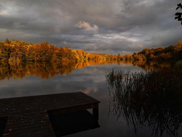
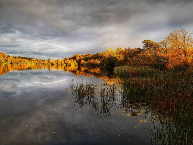
The plantation primarily consists of a diverse mix of tree species, including oak, beech, birch, and pine, creating a rich and varied forest ecosystem. The dense canopy formed by these majestic trees offers a tranquil and shaded environment, perfect for leisurely walks and nature exploration.
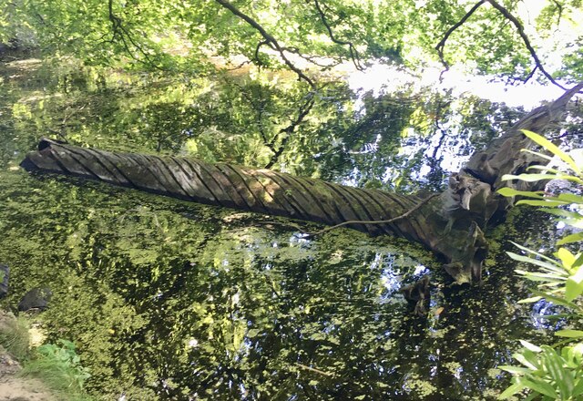
The woodland floor is adorned with a carpet of wildflowers, ferns, and mosses, providing a vibrant and colorful backdrop throughout the seasons. Visitors can also spot a plethora of wildlife, such as deer, squirrels, and a variety of bird species, making it a haven for nature enthusiasts and photographers alike.
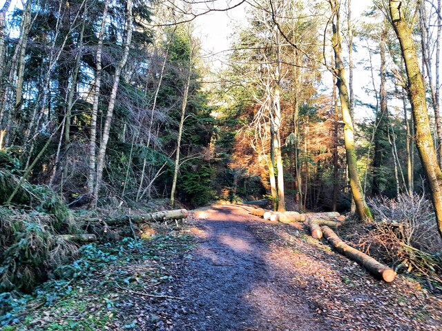
Corridge Plantation features well-maintained walking trails, allowing visitors to navigate through the woodland effortlessly. The trails are suitable for all abilities, with options for shorter or longer routes depending on individual preferences. The enchanting atmosphere of the woodland, coupled with the soothing sounds of rustling leaves and birdsong, offers a truly immersive experience in nature.
The plantation is easily accessible, located just a short distance from the nearby village of Corridge. Visitors can enjoy the convenience of ample parking facilities and nearby amenities, including quaint cafes and local shops.
Corridge Plantation is a cherished natural haven, providing an escape from the hustle and bustle of everyday life. Whether you seek solitude, a family outing, or an opportunity to reconnect with nature, this woodland sanctuary promises a memorable experience for all.
If you have any feedback on the listing, please let us know in the comments section below.
Corridge Plantation Images
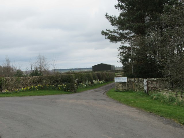
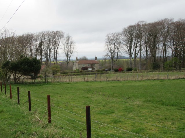
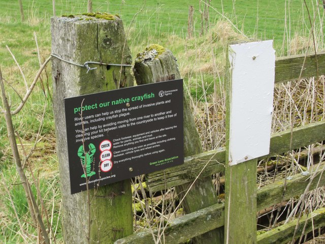
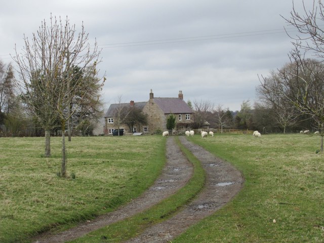
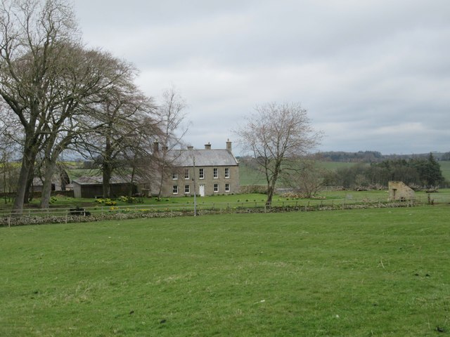
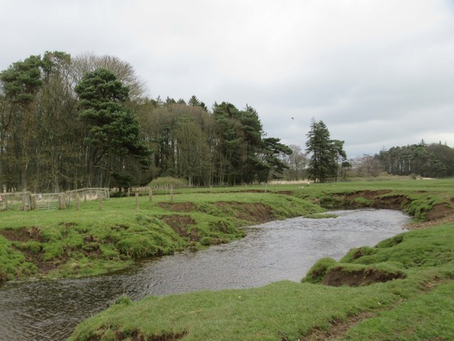
Images are sourced within 2km of 55.144164/-1.8911706 or Grid Reference NZ0783. Thanks to Geograph Open Source API. All images are credited.


Corridge Plantation is located at Grid Ref: NZ0783 (Lat: 55.144164, Lng: -1.8911706)
Unitary Authority: Northumberland
Police Authority: Northumbria
What 3 Words
///marshes.stitching.fresh. Near Hartburn, Northumberland
Nearby Locations
Related Wikis

Huckhoe Settlement
Huckhoe Settlement is an archaeological site in Northumberland, England, near the village of Bolam and about 7 miles (11 km) west of Morpeth. The site...
Bolam West Houses
Bolam West Houses is a village in Northumberland, England. It is about 20 miles (32 km) to the north-west of Newcastle, close to Bolam. == References ==

The Poind and his Man
The Poind and his Man is a prehistoric site in Northumberland, England, near the village of Bolam and about 7 miles (11 km) west of Morpeth. The site,...

Slate Hill Settlement
Slate Hill Settlement is an archaeological site in Northumberland, England, near the village of Bolam and about 7 miles (11 km) west of Morpeth. The site...
Have you been to Corridge Plantation?
Leave your review of Corridge Plantation below (or comments, questions and feedback).