Alder Carr

Wood, Forest in Staffordshire East Staffordshire

England

Alder Carr

St Laurence in the Trees St Laurence's Church in Bramshall is surrounded by mature trees in such a way that capturing a picture of it is difficult from any but the east end of the church.
St Laurence in the Trees Credit: Michael Patterson

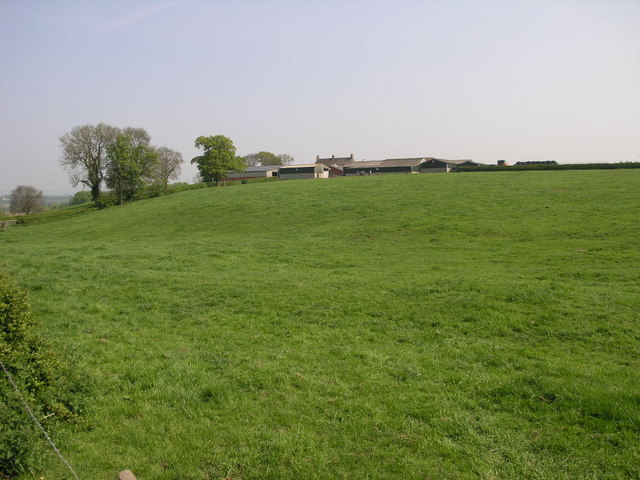
Alder Carr, located in Staffordshire, is a picturesque woodland area known for its dense population of alder trees. The region is renowned for its natural beauty and serene atmosphere, attracting nature enthusiasts and outdoor adventurers alike.

Covering a vast expanse of land, Alder Carr offers a diverse ecosystem that supports a wide range of flora and fauna. The dense forest provides a habitat for various bird species, including woodpeckers and owls, making it a popular spot for birdwatching enthusiasts.

The woodland is crisscrossed with well-maintained trails that allow visitors to explore the area at their own pace. These trails offer stunning views of the surrounding landscape, with glimpses of meandering streams and tranquil ponds. The dense canopy of alder trees provides shade during the summer months, creating a cool and refreshing environment for hikers and nature lovers.

Alder Carr is also home to a number of rare plant species, including the delicate lady's slipper orchid. These unique botanical treasures make the woodland a popular destination for botanists and plant enthusiasts seeking to study and appreciate the region's rich biodiversity.

The area is managed by local conservation organizations, ensuring that the delicate balance of the ecosystem is maintained for future generations to enjoy. Educational programs and guided tours are available to visitors, providing an opportunity to learn about the woodland's ecology and the importance of preserving natural habitats.

A visit to Alder Carr offers a peaceful and immersive experience in nature, allowing visitors to disconnect from the hustle and bustle of everyday life and reconnect with the beauty of the natural world.

If you have any feedback on the listing, please let us know in the comments section below.
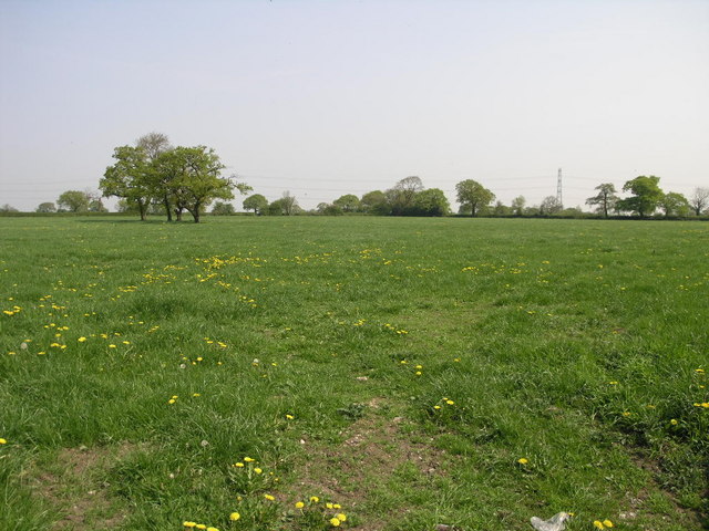
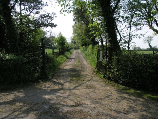
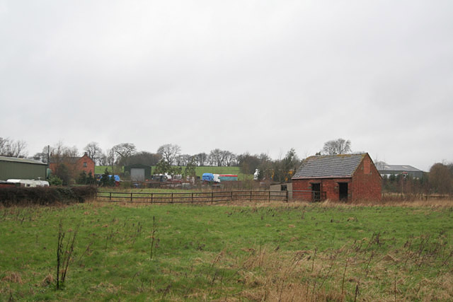
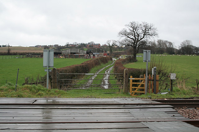
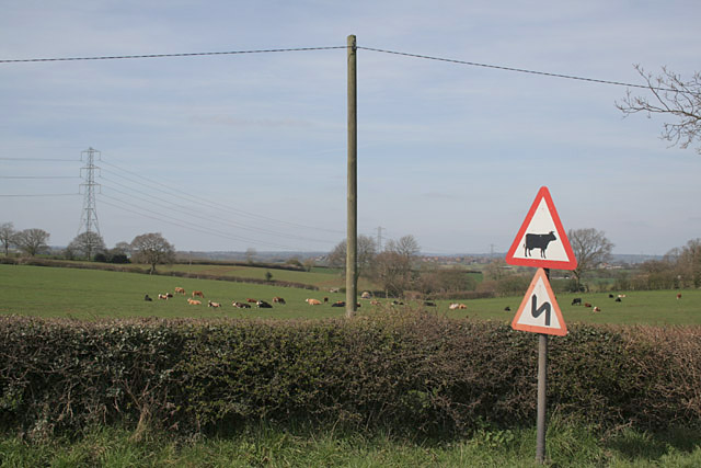
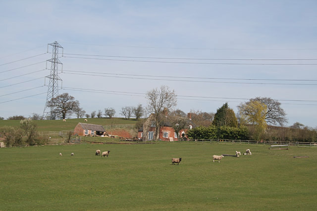
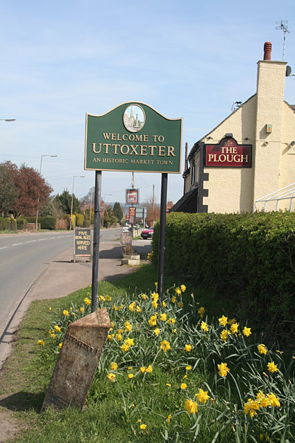
Alder Carr Images

Images are sourced within 2km of 52.881172/-1.8980509 or Grid Reference SK0631. Thanks to Geograph Open Source API. All images are credited.

St Laurence in the Trees St Laurence's Church in Bramshall is surrounded by mature trees in such a way that capturing a picture of it is difficult from any but the east end of the church.
St Laurence in the Trees
St Laurence's Church in Bramshall is surrounded by mature trees in such a way that capturing a picture of it is difficult from any but the east end of the church.
Level on a Hill Just west of this level crossing, on the Uttoxeter to Stoke line, there was once a junction to the nearby munitions dump.  A series of buildings which were built a good distance apart from each other housed the explosives.
Level on a Hill
Just west of this level crossing, on the Uttoxeter to Stoke line, there was once a junction to the nearby munitions dump. A series of buildings which were built a good distance apart from each other housed the explosives.
Farm on a Hill Loxley Bank farm sits on top of this green hill.
Farm on a Hill
Loxley Bank farm sits on top of this green hill.
Crossroads and Trailer Crossroads at Loxley Green. The trailer is not technically being driven on the wrong side of the road but had just turned at the crossroads and needed the space to turn.
Crossroads and Trailer
Crossroads at Loxley Green. The trailer is not technically being driven on the wrong side of the road but had just turned at the crossroads and needed the space to turn.
Fields and Trees And of course the inevitable pylon in the background.
Fields and Trees
And of course the inevitable pylon in the background.
Grand Farm Entrance This iron fence and gate are found at the end of a track to what appears to be a farm.
Grand Farm Entrance
This iron fence and gate are found at the end of a track to what appears to be a farm.
Park View Farm near Lower Loxley, Uttoxeter
Sergeants Crossing near Bramshall A typical occupation crossing for farm traffic, this is also a public right of way with newly refurbished kissing gates.
Sergeants Crossing near Bramshall
A typical occupation crossing for farm traffic, this is also a public right of way with newly refurbished kissing gates.
Dairy Farming near Willslock, Uttoxeter
Lower Leasow near Blount's Green, Uttoxeter
Blount's Green, Uttoxeter These pillars look as if they once formed an animal pound, and form a less than inviting surround to the seat for anyone wishing to brave the traffic at this junction!
Blount's Green, Uttoxeter
These pillars look as if they once formed an animal pound, and form a less than inviting surround to the seat for anyone wishing to brave the traffic at this junction!
Welcome to Uttoxeter The Plough at Blounts Green, with town sign, daffodils and a rather neglected cast iron milestone.
Welcome to Uttoxeter
The Plough at Blounts Green, with town sign, daffodils and a rather neglected cast iron milestone.
Welcome to Uttoxeter The Plough at Blounts Green, with town sign, daffodils and a rather neglected cast iron milestone.
Welcome to Uttoxeter
The Plough at Blounts Green, with town sign, daffodils and a rather neglected cast iron milestone.
Loxley Hall Currently a Staffordshire County Council school on Stafford Road, west of Uttoxeter.
Loxley Hall
Currently a Staffordshire County Council school on Stafford Road, west of Uttoxeter.
St Laurence's Church, Bramshall
Gate to the graveyard, Bramshall
Bramshall and Loxley Parish Hall
The Old Bramshall Inn
Show me another place!

Alder Carr is located at Grid Ref: SK0631 (Lat: 52.881172, Lng: -1.8980509)

Administrative County: Staffordshire

District: East Staffordshire

Police Authority: Staffordshire

What 3 Words

///spaceship.nursery.soft. Near Uttoxeter, Staffordshire

Related Wikis

Nearby Amenities

Located within 500m of 52.881172,-1.8980509
Power: tower
Source: Bing
Lat/Long: 52.8830643/-1.8916438
The data included in this document is from www.openstreetmap.org. The data is made available under ODbL.

Have you been to Alder Carr?

Leave your review of Alder Carr below (or comments, questions and feedback).