Park Belt
Wood, Forest in Staffordshire East Staffordshire
England
Park Belt
Park Belt, located in Staffordshire, is a picturesque woodland area renowned for its natural beauty and diverse flora and fauna. Spanning over a significant area, this forested park offers a tranquil escape from bustling city life.
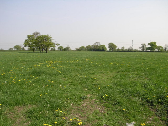
The park is characterized by its dense forest cover, comprising a variety of tree species such as oak, beech, and birch. The tall, majestic trees create a soothing ambiance and provide a haven for numerous bird species, making it a favorite spot among birdwatchers. The forest floor is carpeted with a rich layer of moss and wildflowers, adding to the park's natural charm.
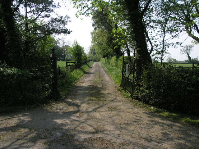
Park Belt offers a range of recreational activities for visitors of all ages. There are well-maintained walking trails crisscrossing the park, providing opportunities for leisurely strolls and invigorating hikes. The park is also popular among cyclists, with designated cycling paths catering to enthusiasts. Additionally, there are picnic areas and open spaces where families and friends can gather and enjoy outdoor activities.
The park's management ensures the preservation of its natural features and wildlife. Conservation efforts have been implemented to protect endangered species and maintain the park's ecological balance. The park authorities also organize educational programs and guided tours to promote environmental awareness and appreciation.
Visitors to Park Belt can expect to be surrounded by the tranquility of nature, with the soothing sounds of birdsong and the rustling of leaves. With its diverse ecosystem and recreational opportunities, Park Belt is a true gem for nature lovers and outdoor enthusiasts alike.
If you have any feedback on the listing, please let us know in the comments section below.
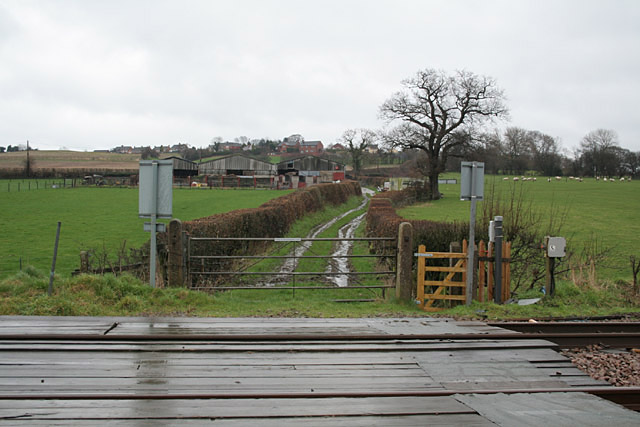
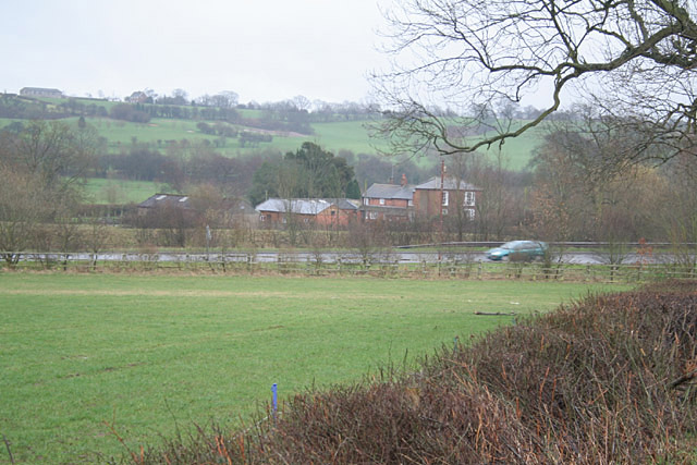
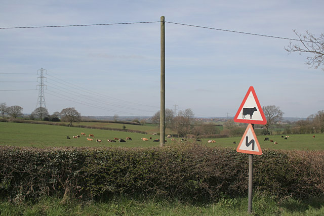
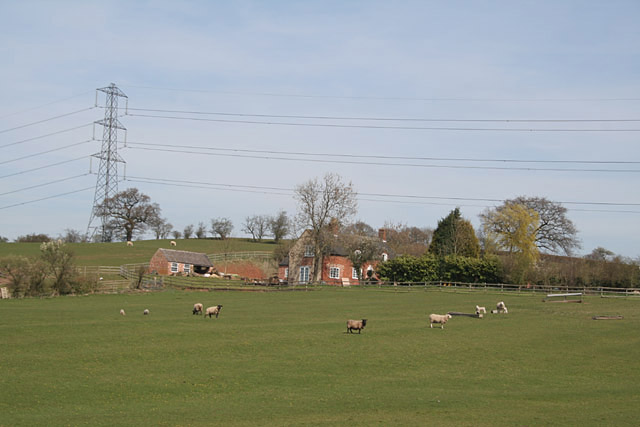
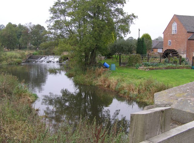
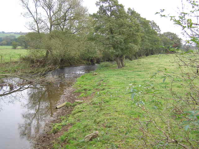
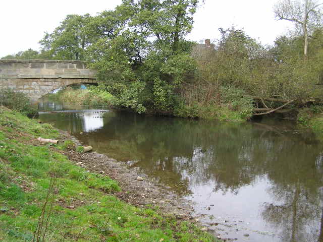
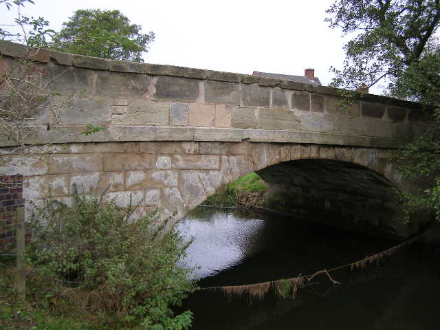
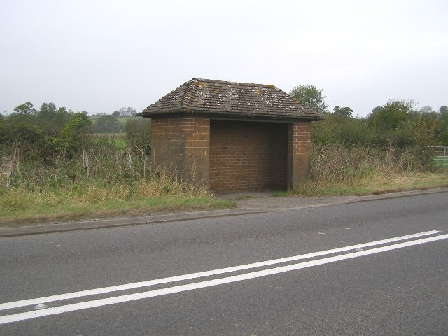
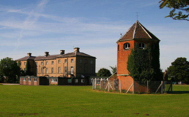
Park Belt Images
Images are sourced within 2km of 52.877952/-1.9070925 or Grid Reference SK0631. Thanks to Geograph Open Source API. All images are credited.
Park Belt is located at Grid Ref: SK0631 (Lat: 52.877952, Lng: -1.9070925)
Administrative County: Staffordshire
District: East Staffordshire
Police Authority: Staffordshire
What 3 Words
///alarming.brittle.occupations. Near Uttoxeter, Staffordshire
Nearby Locations
Related Wikis
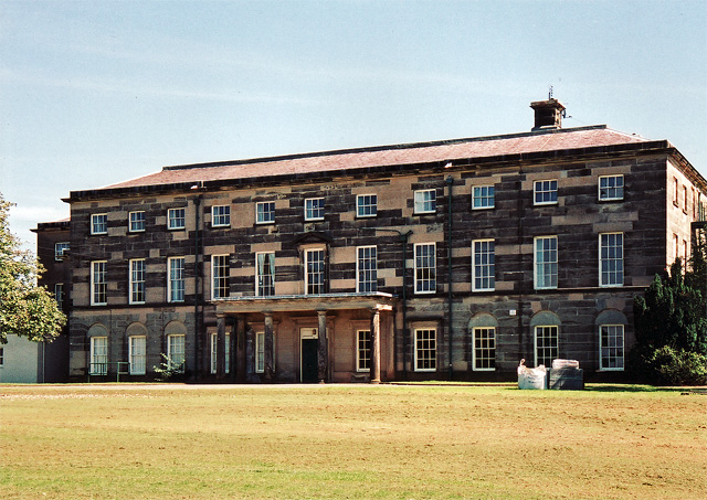
Loxley Hall
Loxley Hall is an early-19th-century country house near Uttoxeter, Staffordshire, now occupied by a Staffordshire County Council special school for boys...

Kingstone, Staffordshire
Kingstone is a village and civil parish within the English county of Staffordshire. == Population == The 2011 census recorded a population of 629 in 249...

Bramshall
Bramshall is a village and former civil parish, now in the parish of Uttoxeter Rural, in the East Staffordshire district, in the county of Staffordshire...

Bromshall railway station
Bromshall railway station was a short lived railway station in Staffordshire, England. The railway line between Stoke-on-Trent and Uttoxeter was opened...
Have you been to Park Belt?
Leave your review of Park Belt below (or comments, questions and feedback).