Dowager's Copse

Wood, Forest in Dorset

England

Dowager's Copse

Old railway bridge over Mannington Brook, West Moors This image, taken in February 2016, updates one I took in 2011. In that year, the bridge was heavily obscured by vegetation and rather neglected: the owners of the land (and the bridge) have now cleared the undergrowth - and coupled to a fine flow of water down the brook (flowing towards the viewer), and no leaves on the trees in the foreground, this makes quite a pleasing shot.
Old railway bridge over Mannington Brook, West Moors Credit: Martin Rowley

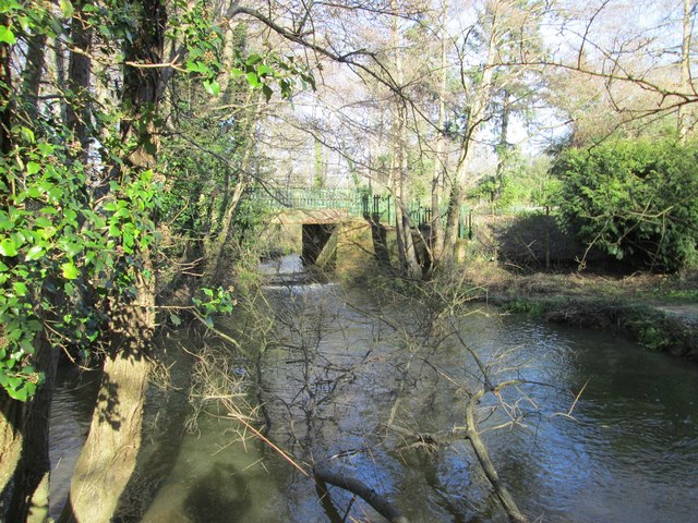
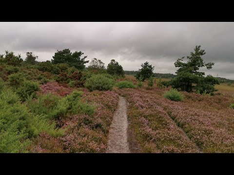
Dowager's Copse is a picturesque woodland area located in the county of Dorset, England. Situated near the village of Dowager's Hollow, it covers an area of approximately 100 acres, making it a significant forested region in the area. The copse is nestled within the rolling hills and valleys of the Dorset countryside, offering visitors a serene and tranquil environment.

The woodland is predominantly made up of native tree species such as oak, beech, and ash, which provide a dense canopy and create a rich biodiversity. The forest floor is covered in a carpet of wildflowers and ferns, adding to the beauty and natural charm of the copse. It is also home to a variety of wildlife, including deer, foxes, and a wide array of bird species.

Dowager's Copse is a popular destination for nature enthusiasts, walkers, and photographers, who are attracted by its scenic beauty and the opportunity to explore its winding trails. The copse offers several well-marked footpaths, allowing visitors to meander through the trees and discover hidden corners of the woodland.

The copse also holds historical significance, with remnants of ancient earthworks and burial mounds found within its boundaries. These archaeological features provide a glimpse into the area's past and add an air of mystery and intrigue to the woodland.

Overall, Dowager's Copse in Dorset is a natural gem, offering visitors a chance to escape the hustle and bustle of modern life and immerse themselves in the beauty of the British countryside.

If you have any feedback on the listing, please let us know in the comments section below.

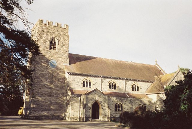
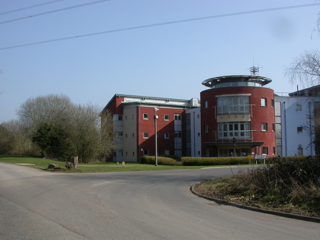
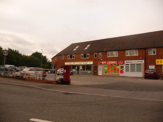
Dowager's Copse Images

Images are sourced within 2km of 50.825958/-1.9027081 or Grid Reference SU0602. Thanks to Geograph Open Source API. All images are credited.

Old railway bridge over Mannington Brook, West Moors This image, taken in February 2016, updates one I took in 2011. In that year, the bridge was heavily obscured by vegetation and rather neglected: the owners of the land (and the bridge) have now cleared the undergrowth - and coupled to a fine flow of water down the brook (flowing towards the viewer), and no leaves on the trees in the foreground, this makes quite a pleasing shot.
Old railway bridge over Mannington Brook, West Moors
This image, taken in February 2016, updates one I took in 2011. In that year, the bridge was heavily obscured by vegetation and rather neglected: the owners of the land (and the bridge) have now cleared the undergrowth - and coupled to a fine flow of water down the brook (flowing towards the viewer), and no leaves on the trees in the foreground, this makes quite a pleasing shot.
Ferndown Industrial Estate Rebuilding fire-damaged warehousing on the Ferndown Industrial Estate.
Ferndown Industrial Estate
Rebuilding fire-damaged warehousing on the Ferndown Industrial Estate.
Roundabout on the A31, Ferndown
Signs on the A31, Ferndown
Roundabout on the A31, Ferndown
The A31, Ameysford
The A31, Ameysford
Ashurst Road A narrow fairly leafy residential road in West Moors.
Ashurst Road
A narrow fairly leafy residential road in West Moors.
The Avenue A leafy residential road in West Moors.
The Avenue
A leafy residential road in West Moors.
Pinehurst Community Church With one of the most minimal church spires I have ever seen!
Pinehurst Community Church
With one of the most minimal church spires I have ever seen!
Path between houses in Canterbury Close Leading from the Woolslope Farm open space.
Path between houses in Canterbury Close
Leading from the Woolslope Farm open space.
Path at Woolslope Farm
Pinehurst Park from Woolslope Farm A park home site, although marked on the OS map as a caravan site.
Pinehurst Park from Woolslope Farm
A park home site, although marked on the OS map as a caravan site.
The Elephant and Castle public house
Site of West Moors level crossing and station The former railway station occupied what is now this wooded patch beside Station Road. The railway route now forms part of the Castleman Trailway.
Site of West Moors level crossing and station
The former railway station occupied what is now this wooded patch beside Station Road. The railway route now forms part of the Castleman Trailway.
The Tap and Railway public house Close to the site of the former railway station and level crossing at West Moors.
The Tap and Railway public house
Close to the site of the former railway station and level crossing at West Moors.
Parade of shops on Station Road, with flats above
Castleman Trailway, northeast from West Moors Path and cycle route on former railway trackbed.
Castleman Trailway, northeast from West Moors
Path and cycle route on former railway trackbed.
Retirement housing on Station Road, West Moors
Show me another place!

Dowager's Copse is located at Grid Ref: SU0602 (Lat: 50.825958, Lng: -1.9027081)

Unitary Authority: Dorset

Police Authority: Dorset

What 3 Words

///healthier.intelligible.score. Near Ferndown, Dorset

Related Wikis

West Moors

West Moors is a village in Dorset, England, on the northern fringe of the Poole-Bournemouth conurbation, just outside the larger settlements of Ferndown...

West Moors railway station

West Moors is a closed railway station in Dorset. Opened in 1867, it became the junction of the Southampton and Dorchester Railway and the Salisbury and...

Holt Heath, Dorset

Holt Heath is a 4.88 square kilometres (1.88 sq mi) common situated four miles north-east of Wimborne Minster in east Dorset, southern England, close to...

Ferndown

Ferndown is a town and civil parish in Dorset in southern England, immediately to the north of Bournemouth and Poole. The parish, which until 1972 was...

Ameysford

Ameysford is a village in Dorset, England. There is an electoral ward of the same name which is a suburb of Ferndown.

Ferndown Upper School

Ferndown Upper School is a comprehensive school and sixth form located in Ferndown, Dorset, England. Opened in 1972, it has grown to accommodate a broad...

Trickett's Cross

Trickett's Cross is an estate situated on the outskirts of Ferndown, Dorset, England. It lies at the junction of two primary routes, the A31 road and A348...

Woolsbridge

Woolsbridge is a village in Dorset, England. Woolsbridge was formerly under the control of the Earl of Normanton and is a part of the civil parish of Cranbourne...

Related Videos

2021.08.05 #1 Lovely ramble across Holt Heath, Dorset, UK

Irene and Dave Hurr enjoy a lovely ramble accross Holt Heath, Dorset, UK.

Longmeadow CAMC CL site

Hi and welcome back! This is a small, quiet CL site nestled within Dorset, near to Poole/Bournemouth. Very good access route in ...

Nearby Amenities

Located within 500m of 50.825958,-1.9027081
Power: tower
Source: Bing
Lat/Long: 50.8236511/-1.9016863
Power: tower
Source: Bing
Lat/Long: 50.8283223/-1.8997202
Power: tower
Source: Bing
Lat/Long: 50.8259232/-1.9007287
Power: tower
Source: Bing
Lat/Long: 50.824888/-1.8989667
Power: tower
Source: Bing
Lat/Long: 50.8216686/-1.9014879
Power: tower
Source: Bing
Lat/Long: 50.827592/-1.89747
Power: pole
Lat/Long: 50.8216121/-1.9033411
Power: pole
Lat/Long: 50.8232048/-1.9032338
Power: pole
Lat/Long: 50.8242994/-1.9031533
Power: pole
Lat/Long: 50.8254041/-1.9030836
Power: pole
Lat/Long: 50.826746/-1.9029977
Power: pole
Lat/Long: 50.8281725/-1.9028797
Power: pole
Lat/Long: 50.8295922/-1.9027832
The data included in this document is from www.openstreetmap.org. The data is made available under ODbL.

Have you been to Dowager's Copse?

Leave your review of Dowager's Copse below (or comments, questions and feedback).