Ardwick
Settlement in Lancashire
England
Ardwick
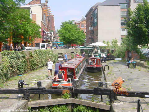
Ardwick is a suburban area located in the city of Manchester, within the county of Lancashire, England. It lies approximately one mile southeast of Manchester city center, making it a convenient residential location for those working or studying in the city.
Historically, Ardwick was a rural area known for its agricultural activities, but it experienced significant urbanization during the industrial revolution of the 19th century. The development of cotton mills and other manufacturing industries led to an influx of workers and rapid expansion of the population. However, Ardwick faced significant damage during World War II due to bombing raids, resulting in the destruction of many buildings and the displacement of residents.
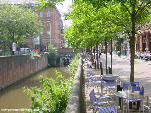
Today, Ardwick is a diverse and vibrant community, offering a mix of residential, commercial, and industrial areas. The housing stock is a combination of Victorian terraced houses, post-war council housing, and newer developments. The area benefits from excellent transportation links, with Ardwick railway station providing easy access to both local and national destinations.
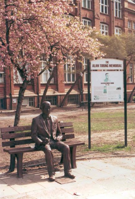
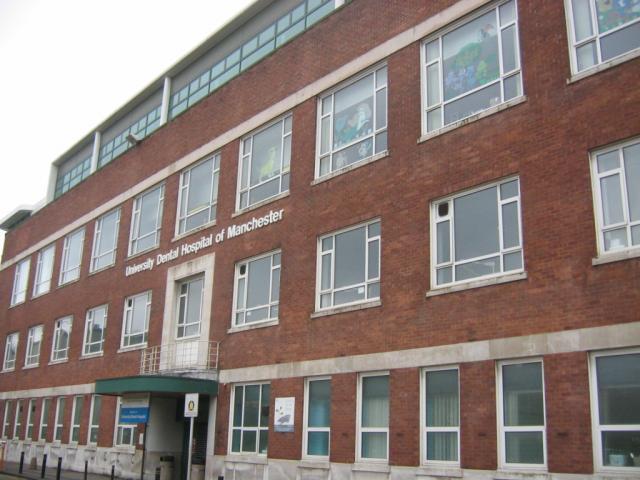
Ardwick is also home to several educational institutions, including the Manchester Metropolitan University and several primary schools. The area has a range of amenities, including shops, supermarkets, and local businesses, catering to the needs of its residents.
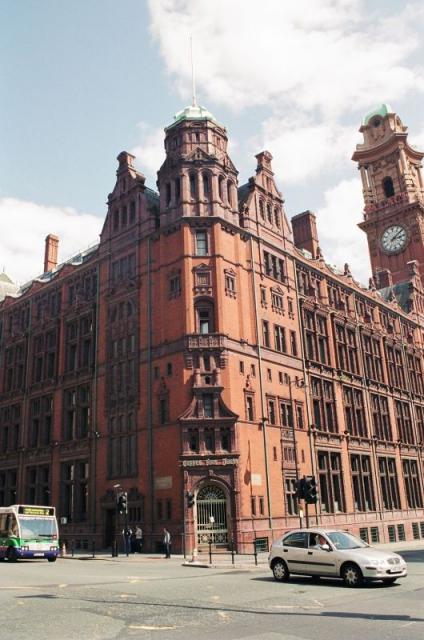
While Ardwick has undergone significant changes over the years, it remains an important part of Manchester's urban landscape, contributing to the city's cultural and economic diversity.
If you have any feedback on the listing, please let us know in the comments section below.
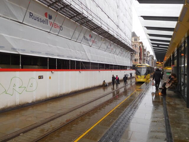
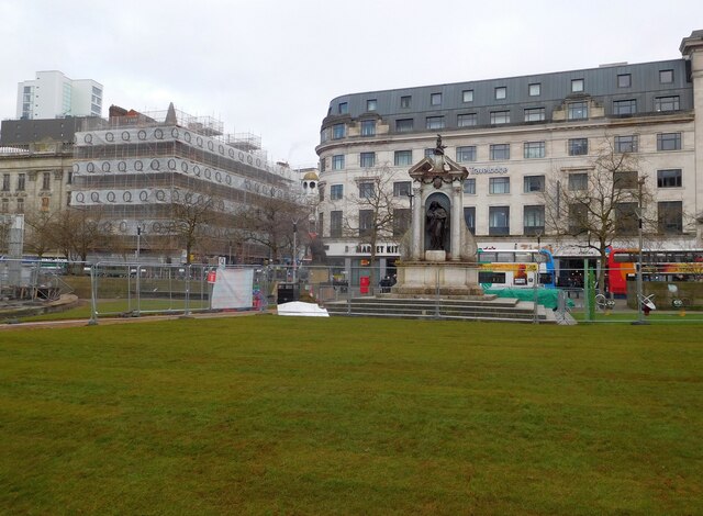
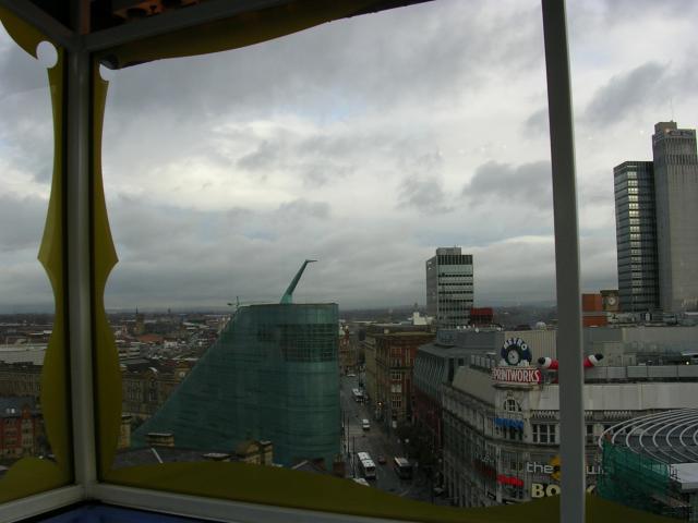
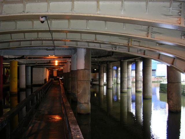
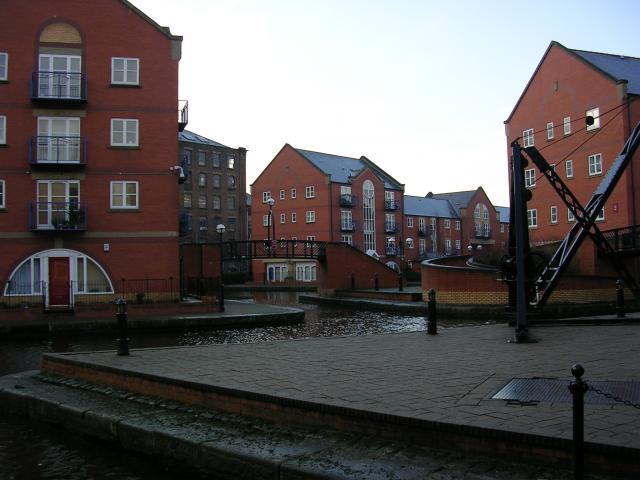
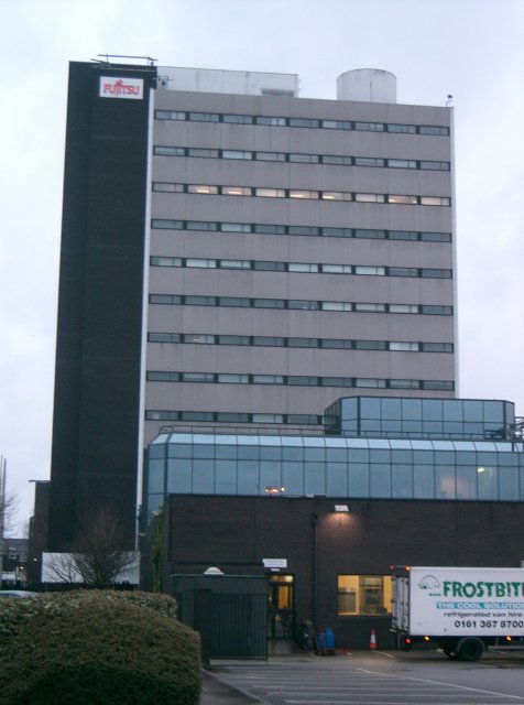
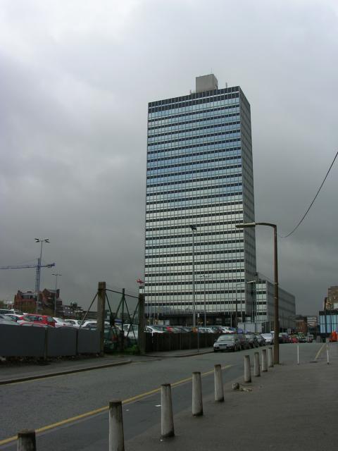
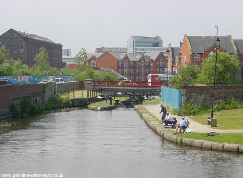
Ardwick Images
Images are sourced within 2km of 53.472673/-2.219174 or Grid Reference SJ8597. Thanks to Geograph Open Source API. All images are credited.


Ardwick is located at Grid Ref: SJ8597 (Lat: 53.472673, Lng: -2.219174)
Unitary Authority: Manchester
Police Authority: Greater Manchester
What 3 Words
///soaks.harsh.winks. Near Manchester
Nearby Locations
Related Wikis
Ardwick
Ardwick is a district of Manchester, England, one mile south-east of the city centre. The population at the 2011 census was 19,250.Historically in Lancashire...

Ardwick Hall
Ardwick Hall was a large country house set amongst grounds and conservatories on the eastern side of Ardwick Green in Manchester. Ardwick Hall was constructed...
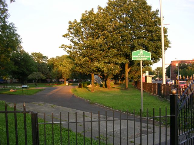
Ardwick Green
Ardwick Green is a public space in Ardwick, Manchester, England. It began as a private park for the residents of houses surrounding it before Manchester...
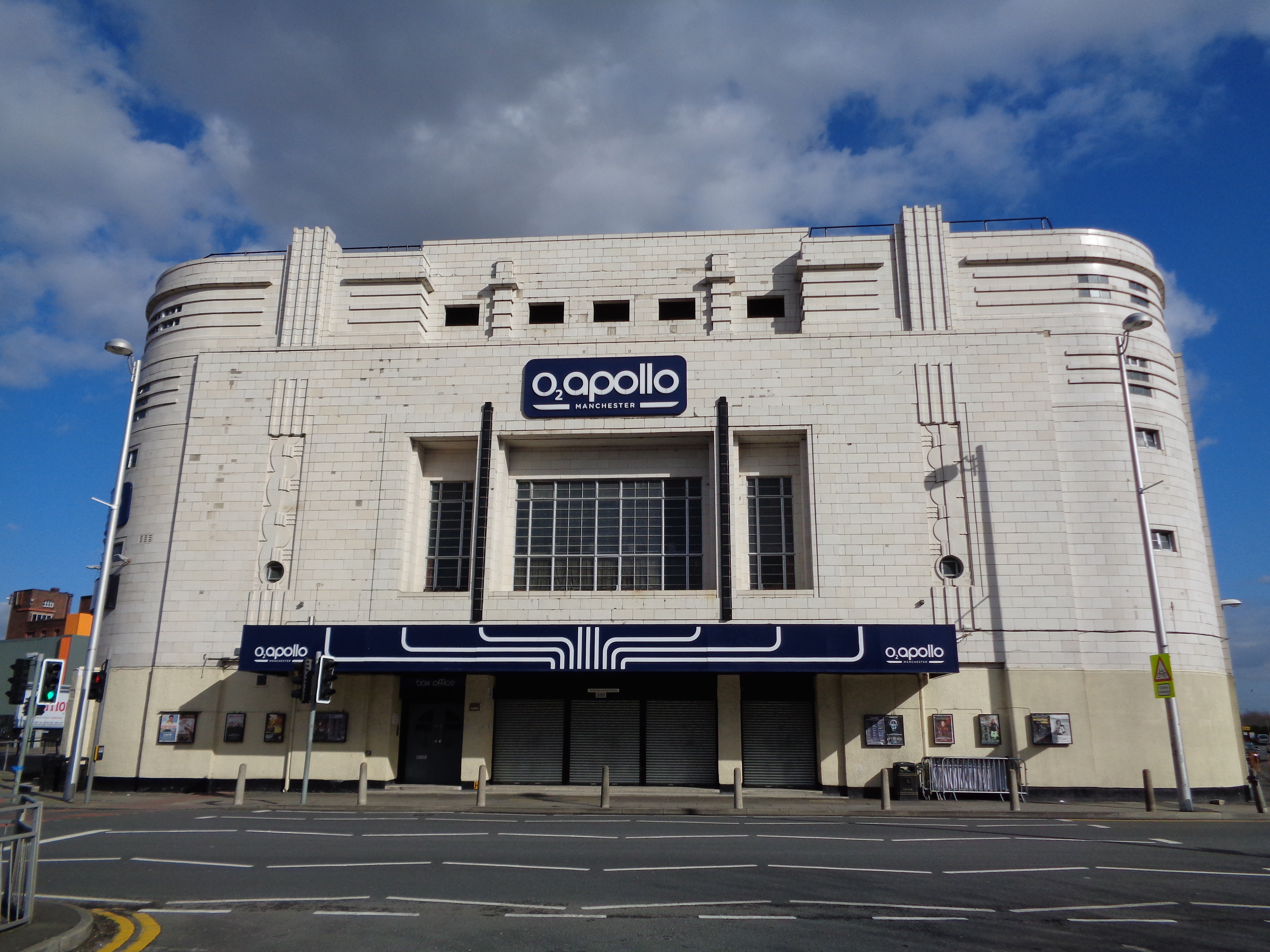
O2 Apollo Manchester
The O2 Apollo Manchester (known locally as The Apollo and formerly Manchester Apollo) is a concert venue in Ardwick Green, Manchester, England. It is a...
Nearby Amenities
Located within 500m of 53.472673,-2.219174Have you been to Ardwick?
Leave your review of Ardwick below (or comments, questions and feedback).