Thorsgill Wood
Wood, Forest in Yorkshire
England
Thorsgill Wood
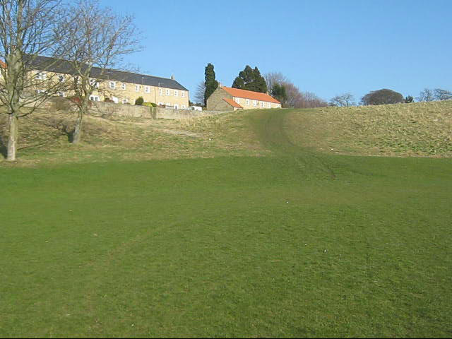
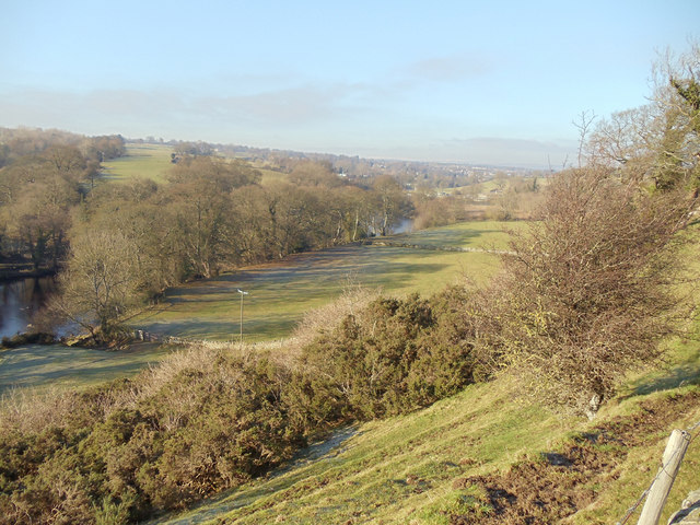
Thorsgill Wood is a picturesque woodland located in the county of Yorkshire, England. Situated near the village of Marske, it covers an area of approximately 20 acres and is nestled within the North York Moors National Park.
The wood is primarily composed of native tree species, including oak, ash, beech, and birch, which create a dense and diverse canopy. The forest floor is adorned with a rich carpet of ferns, bluebells, and other wildflowers, enhancing the enchanting atmosphere of the wood.
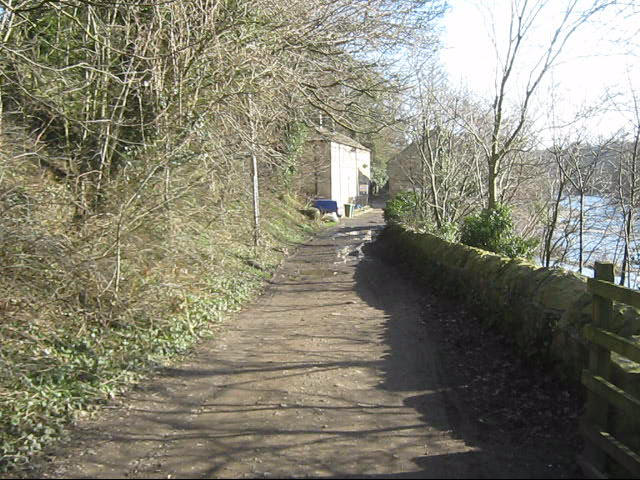
Thorsgill Wood is a popular destination for nature enthusiasts and walkers, offering a tranquil and idyllic setting for outdoor activities. It is crisscrossed by a network of well-maintained footpaths, allowing visitors to explore its hidden nooks and crannies while immersing themselves in the beauty of nature.
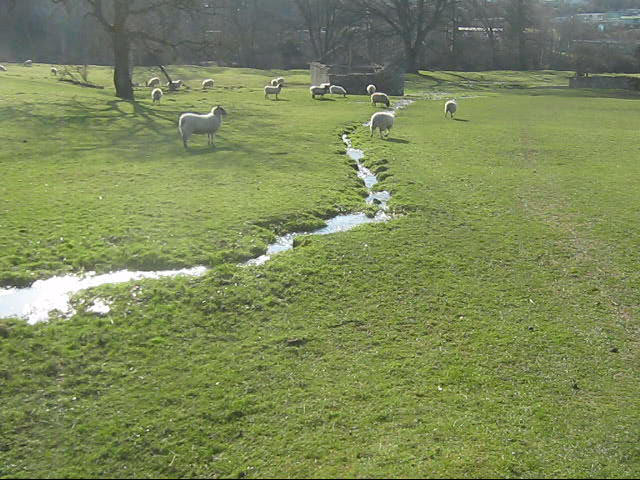
The wood is also home to a variety of wildlife, including squirrels, foxes, and a wide array of bird species. The rustling of leaves and the melodious songs of birds provide a symphony of sounds that evoke a sense of calm and serenity.
With its stunning natural beauty and peaceful ambiance, Thorsgill Wood offers a respite from the hustle and bustle of everyday life. Whether it's a leisurely stroll, a picnic, or a spot of birdwatching, visitors to this woodland gem are sure to be captivated by its charm and the tranquility it offers.
If you have any feedback on the listing, please let us know in the comments section below.
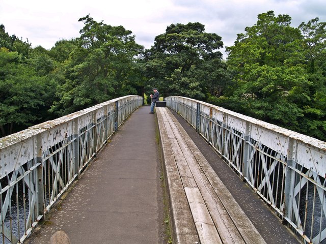
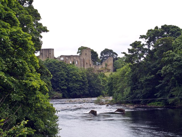
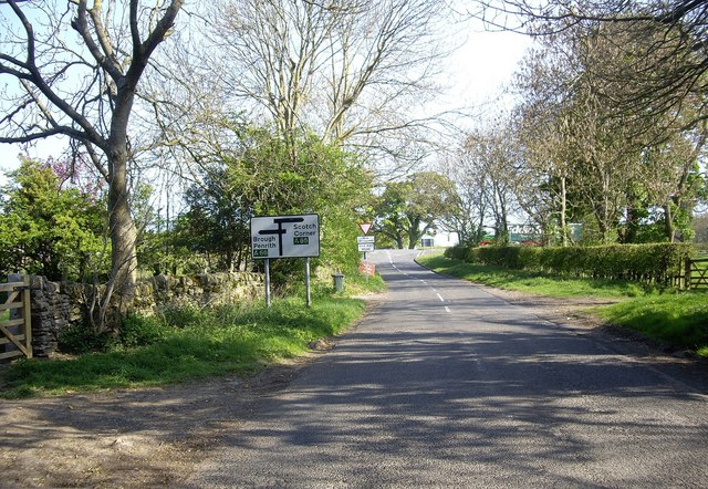
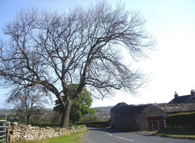
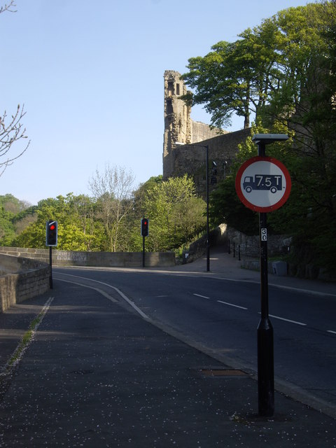
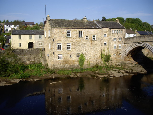
Thorsgill Wood Images
Images are sourced within 2km of 54.531734/-1.9173565 or Grid Reference NZ0515. Thanks to Geograph Open Source API. All images are credited.
Thorsgill Wood is located at Grid Ref: NZ0515 (Lat: 54.531734, Lng: -1.9173565)
Division: North Riding
Unitary Authority: County Durham
Police Authority: Durham
What 3 Words
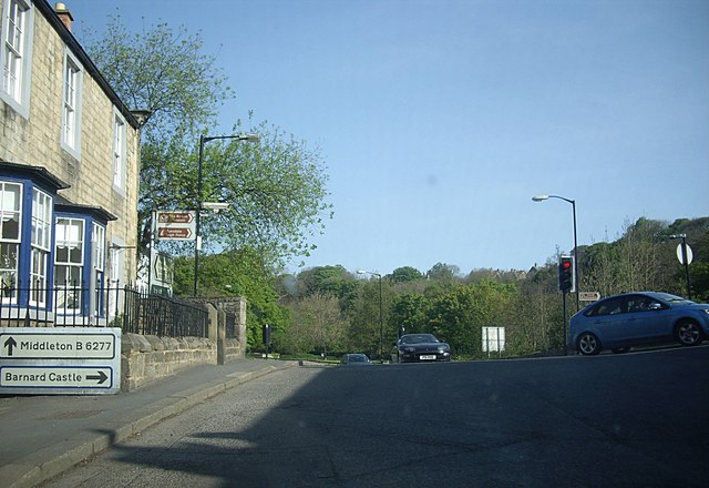
///history.helpfully.scornful. Near Barnard Castle, Co. Durham
Nearby Locations
Related Wikis

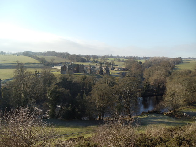
Egglestone Abbey
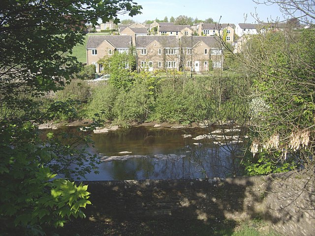
Egglestone Abbey is a ruined Premonstratensian abbey on the southern (Yorkshire) bank of the River Tees, in northern England, 1+1⁄2 miles (2.4 km) south...
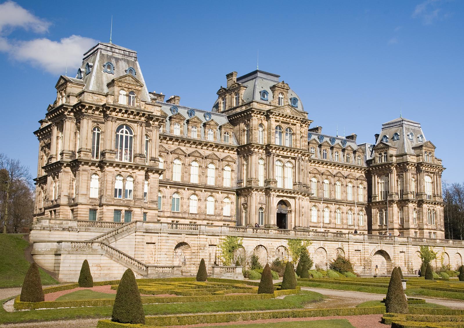
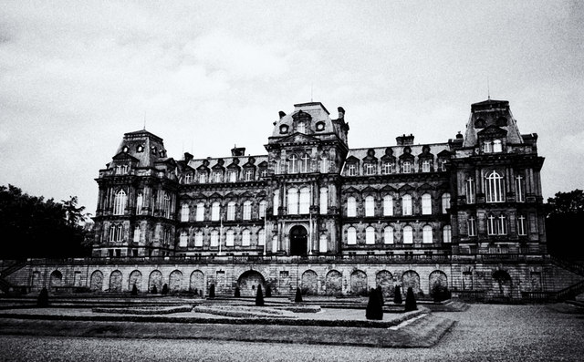
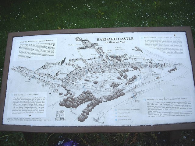
Bowes Museum
The Bowes Museum is an art gallery in the town of Barnard Castle, in County Durham in northern England. It was built to designs by Jules Pellechet and...

Silver Swan (automaton)
The Silver Swan is an automaton dating from the 18th century and now housed in the Bowes Museum, Barnard Castle, Teesdale, County Durham, England. It was...

Barnard Castle School
Barnard Castle School (colloquially Barney School or locally the County School) is a co-educational private day and boarding school in the market town...
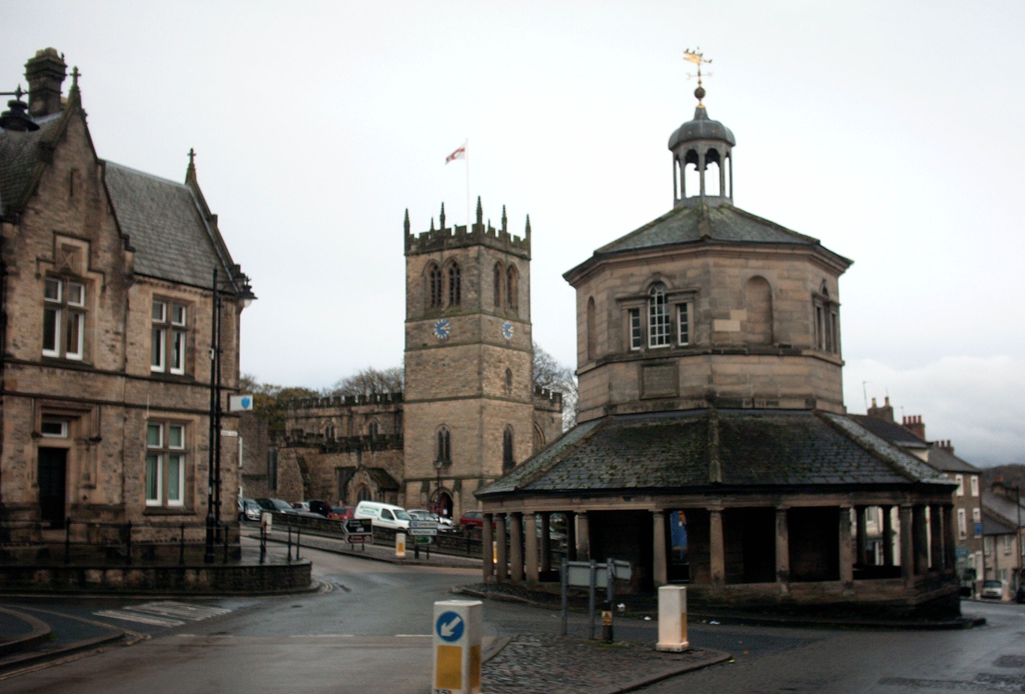
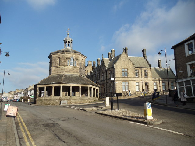
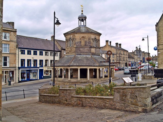
Market Cross, Barnard Castle
Barnard Castle Market Cross (also known as the Butter Market or Break's Folley) is an octagonal construction in the market town of Barnard Castle, Teesdale...

Barnard Castle (castle)
Barnard Castle (grid reference NZ04911641) is a ruined medieval castle situated in the town of the same name in County Durham, England. == History == A...

National Cycle Route 14
National Cycle Route 14 forms part of the National Cycle Network in North East England. It connects Darlington in County Durham with South Shields on the...
Barnard Castle Rural District
Barnard Castle was a rural district in County Durham, England from 1894 to 1974. It was named after Barnard Castle but did not include it. It was created...
Nearby Amenities
Located within 500m of 54.531734,-1.9173565Have you been to Thorsgill Wood?
Leave your review of Thorsgill Wood below (or comments, questions and feedback).