Stansley Wood
Wood, Forest in Staffordshire East Staffordshire
England
Stansley Wood
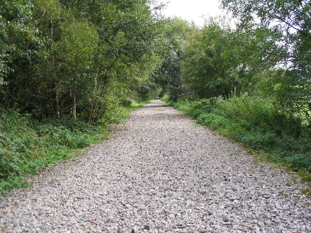
Stansley Wood is a small village located in the county of Staffordshire, England. It is situated within the beautiful surroundings of the Staffordshire Moorlands, known for its rolling hills and picturesque landscapes. The village is part of the wider district of Staffordshire Moorlands and is surrounded by lush green forests, earning it the nickname "Wood" among locals.
Stansley Wood is a rural village, characterized by its traditional stone cottages and charming country lanes. The village is home to a tight-knit community, with a population of around 500 residents. It offers a peaceful and tranquil setting, perfect for those seeking a slower pace of life away from the hustle and bustle of larger cities.
Despite its small size, Stansley Wood offers a range of amenities for its residents. These include a local village hall, a primary school, and a small grocery store. The village also boasts several walking trails and nature reserves, providing plenty of opportunities for outdoor activities such as hiking and birdwatching.
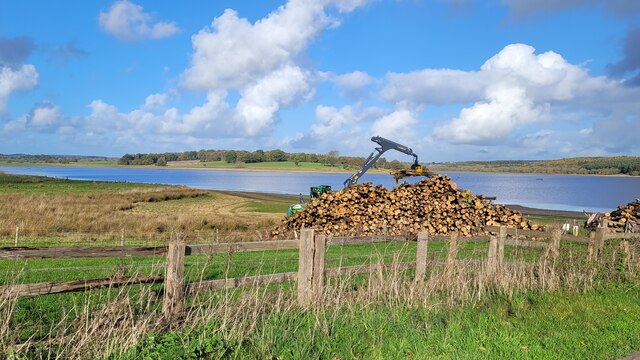
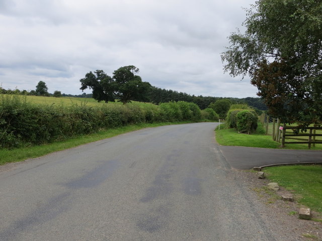
The surrounding forests are a major attraction for visitors to Stansley Wood. The woodlands are home to a diverse range of flora and fauna, making it a haven for nature lovers. The area is also popular for its scenic views and is a favorite spot for photographers and artists.
In summary, Stansley Wood is a quaint village nestled within the Staffordshire Moorlands. With its idyllic countryside setting, friendly community, and access to stunning woodlands, it is a charming destination for both residents and visitors alike.
If you have any feedback on the listing, please let us know in the comments section below.
Stansley Wood Images
Images are sourced within 2km of 52.821787/-1.9205822 or Grid Reference SK0524. Thanks to Geograph Open Source API. All images are credited.


Stansley Wood is located at Grid Ref: SK0524 (Lat: 52.821787, Lng: -1.9205822)
Administrative County: Staffordshire
District: East Staffordshire
Police Authority: Staffordshire
What 3 Words
///gazette.plod.taker. Near Abbots Bromley, Staffordshire
Nearby Locations
Related Wikis
Blithfield
Blithfield is a civil parish in the East Staffordshire district of Staffordshire, England. It includes the settlements of Admaston (a small hamlet in Staffordshire...

Blithfield Hall
Blithfield Hall (pronounced locally as Bliffield), is a privately owned Grade I listed country house in Staffordshire, England, situated some 9 miles...

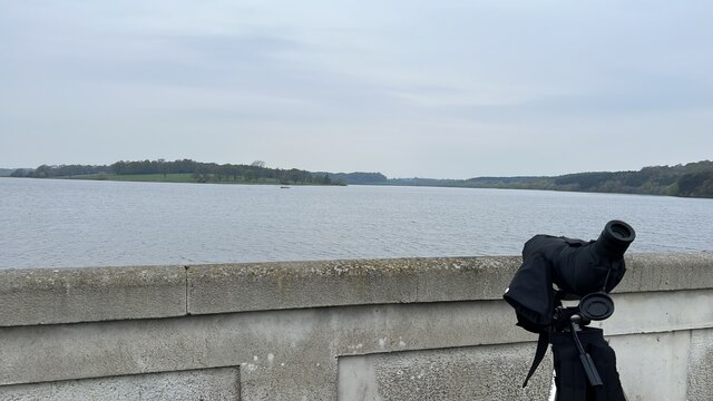
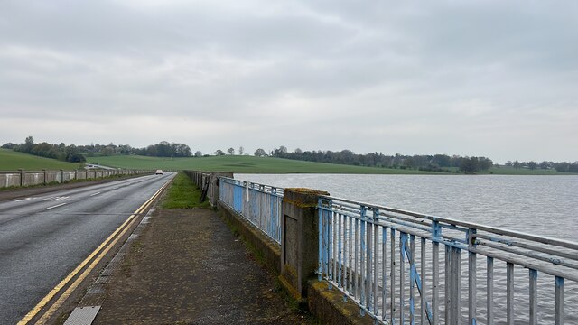
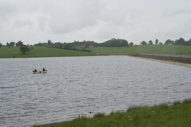
Blithfield Reservoir
Blithfield Reservoir is a large raw water reservoir in Staffordshire, England, owned by South Staffordshire Water. Some 800 acres (324 hectares) of reservoir...

Admaston, Staffordshire
Admaston is a small hamlet in Staffordshire, England just outside the town of Rugeley near to Abbots Bromley and Blithfield Hall.The name Admaston is derived...

RAF Abbots Bromley
RAF Abbots Bromley is a former Royal Air Force Relief Landing Ground (RLG) located 0.7 miles (1.1 km) north-west of the village of Abbots Bromley, Staffordshire...

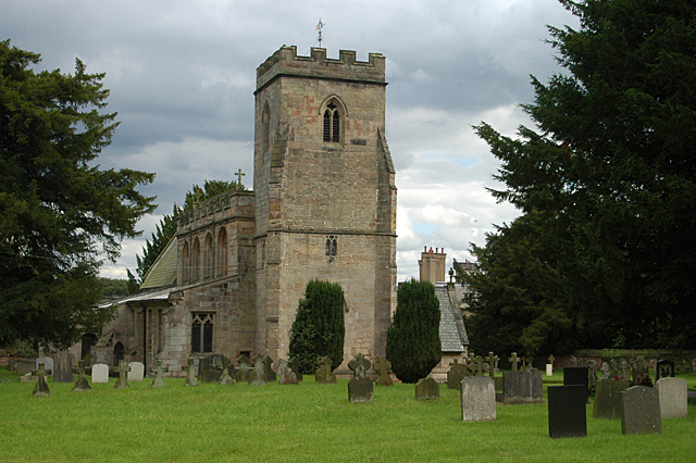
Abbots Bromley
Abbots Bromley is a village and civil parish in the East Staffordshire district of Staffordshire and lies approximately 9.8 miles (15.8 km) east of Stafford...

Abbots Bromley School
Abbots Bromley School (previously the School of S. Mary and S. Anne, Abbots Bromley before becoming Abbots Bromley School for Girls) was a coeducational...
Staffordshire Way
The Staffordshire Way is a long-distance walk in Staffordshire, England. The path links with the Cheshire Gritstone Trail, the Heart of England Way and...
Nearby Amenities
Located within 500m of 52.821787,-1.9205822Have you been to Stansley Wood?
Leave your review of Stansley Wood below (or comments, questions and feedback).