Sidelands Copse

Wood, Forest in Gloucestershire Cotswold

England

Sidelands Copse

Norcote Farm near Cirencester This farm on the north side of London Road (A417) is in the south eastern section of the square. This square is almost all farmland.
Norcote Farm near Cirencester Credit: Pam Brophy

Sidelands Copse is a picturesque woodland located in the county of Gloucestershire, England. This serene forest covers an area of approximately 50 acres and is nestled within the beautiful countryside landscape of the Cotswolds.

The copse is characterized by its dense and diverse tree population, consisting mainly of native British species such as oak, beech, and ash. These tall, majestic trees provide a canopy of shade, creating a cool and peaceful atmosphere within the woodland. The forest floor is carpeted with a rich assortment of wildflowers, ferns, and mosses, creating a vibrant and colorful undergrowth.

Sidelands Copse is renowned for its natural beauty and is a haven for wildlife. The forest is home to a variety of bird species, including woodpeckers, songbirds, and owls. It also provides a habitat for small mammals such as squirrels, badgers, and foxes. The copse is often visited by nature enthusiasts and birdwatchers who come to observe and appreciate the diverse flora and fauna.

The forest features several walking trails that wind through the woodland, allowing visitors to explore its hidden treasures. These paths are well-maintained and offer opportunities for leisurely strolls or more adventurous hikes. Along the way, visitors may encounter small streams, babbling brooks, and even a tranquil pond, adding to the overall charm of the copse.

Sidelands Copse is a true gem of Gloucestershire, offering a tranquil escape from the hustle and bustle of everyday life. Its natural beauty and rich biodiversity make it a perfect destination for nature lovers and those seeking solace in the great outdoors.

If you have any feedback on the listing, please let us know in the comments section below.

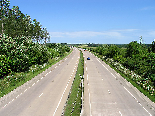
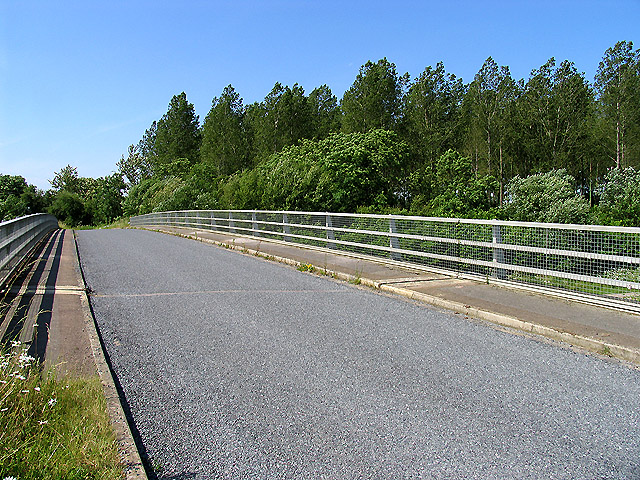
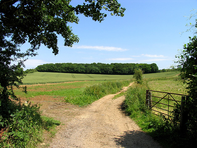
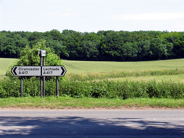
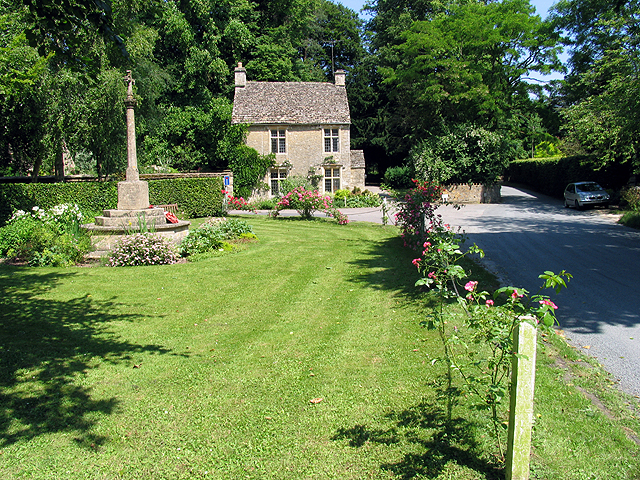
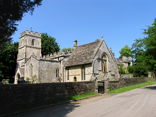
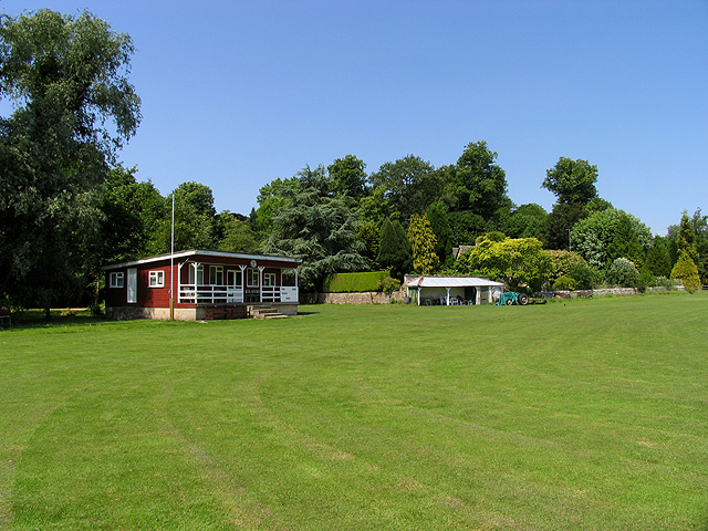
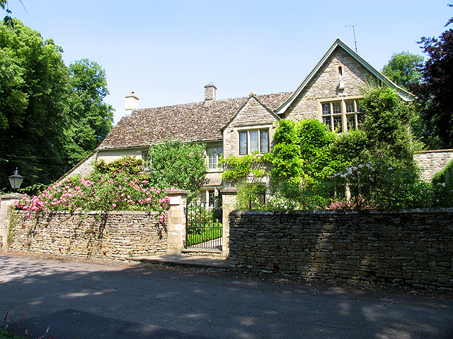
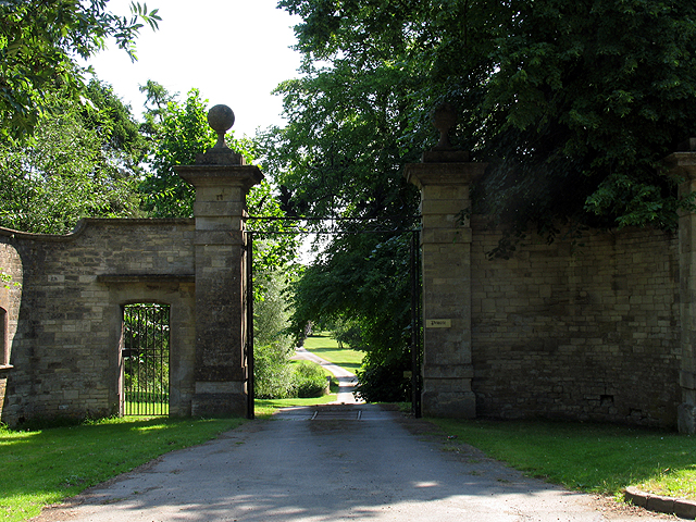
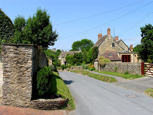
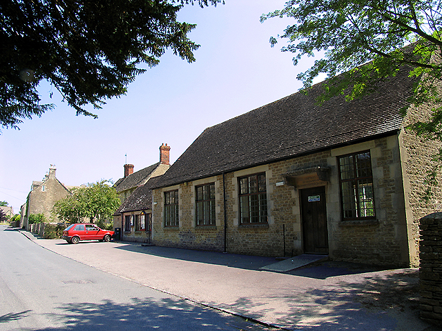
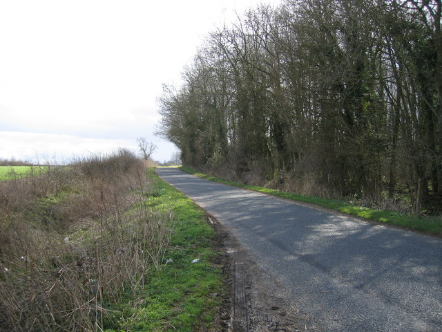
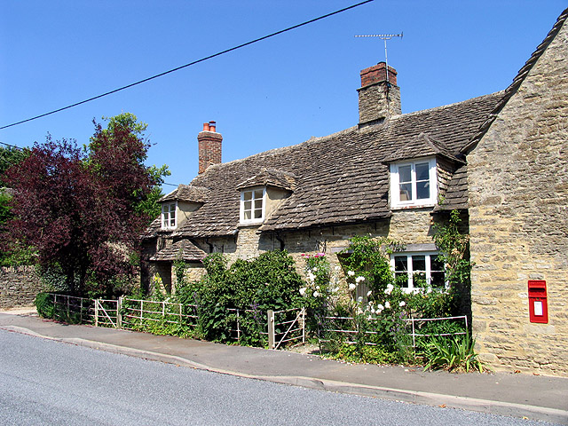
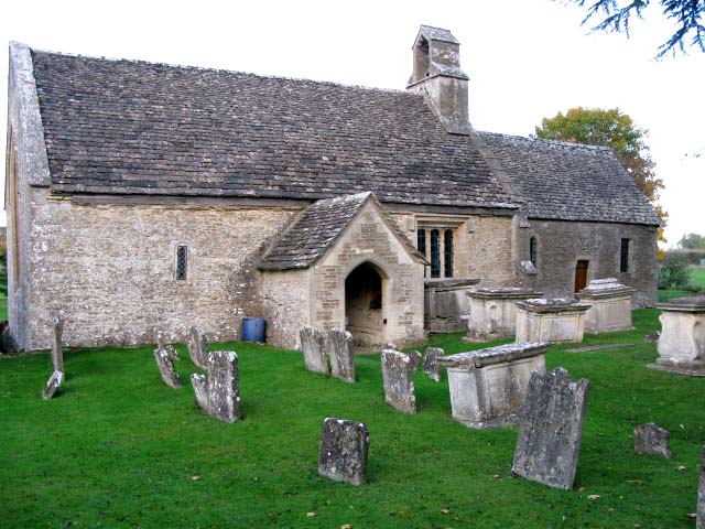
Sidelands Copse Images

Images are sourced within 2km of 51.718834/-1.922566 or Grid Reference SP0502. Thanks to Geograph Open Source API. All images are credited.

Norcote Farm near Cirencester This farm on the north side of London Road (A417) is in the south eastern section of the square. This square is almost all farmland.
Norcote Farm near Cirencester
This farm on the north side of London Road (A417) is in the south eastern section of the square. This square is almost all farmland.
A417 (T) near Cirencester A view of the A417 (T) in the south eastern section of the square. The square consists of this road, Witpit lane, a byway, farmland and a copse.
A417 (T) near Cirencester
A view of the A417 (T) in the south eastern section of the square. The square consists of this road, Witpit lane, a byway, farmland and a copse.
Bridge over the A417(T) near Cirencester The bridge carries Witpit Lane over the A417. This view is taken from the north east looking towards the plantation in the south east section of the square.
Bridge over the A417(T) near Cirencester
The bridge carries Witpit Lane over the A417. This view is taken from the north east looking towards the plantation in the south east section of the square.
Plantation at intersection of A417 and Witpit Lane The plantation is in the south eastern section of the square.
Plantation at intersection of A417 and Witpit Lane
The plantation is in the south eastern section of the square.
Church: Preston This church is in the northern section of the square. The square contains the village of Preston in the northern half and a Roman road, the A419, farmland and some copses.
Church: Preston
This church is in the northern section of the square. The square contains the village of Preston in the northern half and a Roman road, the A419, farmland and some copses.
Preston Street: Cotswolds This is a typical street scene in the village of Preston and surrounding villages.
Preston Street: Cotswolds
This is a typical street scene in the village of Preston and surrounding villages.
Merrilhill Copse Looking northish from the dirt track opposite Witpit Lane where it intersects with the A417.
Merrilhill Copse
Looking northish from the dirt track opposite Witpit Lane where it intersects with the A417.
Intersection of the A417 and Witpit Lane This intersection with a view of the farmland typical of this square, is in the south western section of the square. The square is mostly farmland.
Intersection of the A417 and Witpit Lane
This intersection with a view of the farmland typical of this square, is in the south western section of the square. The square is mostly farmland.
War Memorial at Ampney Crucis This part of the village is in the north eastern section of the square. In the vicinity of the memorial one will find the cricket pitch, the rectory, a hotel and the church. Two roads pass through the square. The majority of the physical geography is farmland. The residence seen in this picture is also typical of residences in this region.
War Memorial at Ampney Crucis
This part of the village is in the north eastern section of the square. In the vicinity of the memorial one will find the cricket pitch, the rectory, a hotel and the church. Two roads pass through the square. The majority of the physical geography is farmland. The residence seen in this picture is also typical of residences in this region.
Church in Ampney Crucis The church is in the north western section of the square.
Church in Ampney Crucis
The church is in the north western section of the square.
Ampney Crucis Cricket Club The cricket field and clubhouse is north of the stream and the hotel, in the northern half of the square.
Ampney Crucis Cricket Club
The cricket field and clubhouse is north of the stream and the hotel, in the northern half of the square.
The Rectory: Ampney Crucis The rectory lies between the Church and the War Memorial in the north eastern section of the square.
The Rectory: Ampney Crucis
The rectory lies between the Church and the War Memorial in the north eastern section of the square.
Entrance to Ampney Park The entrance, photographed from the A417 is in the north western section of the square. Most of Ampney park is in a different square.
Entrance to Ampney Park
The entrance, photographed from the A417 is in the north western section of the square. Most of Ampney park is in a different square.
Main street in Ampney Crucis These houses along the minor road passing through the southern half of the square is typical of residences in this village.
Main street in Ampney Crucis
These houses along the minor road passing through the southern half of the square is typical of residences in this village.
Ampney Crucis: Village Hall The village hall is in the south eastern section of the square. This square consists of village and Ampney park and farms.
Ampney Crucis: Village Hall
The village hall is in the south eastern section of the square. This square consists of village and Ampney park and farms.
London Road Cirencester The edge of town as at early 2006. London Road is the A417 which meanders off towards Reading
London Road Cirencester
The edge of town as at early 2006. London Road is the A417 which meanders off towards Reading
Witpit Copse on Witpit Lane Preston
Fields near Preston
Fields near Preston
Show me another place!

Sidelands Copse is located at Grid Ref: SP0502 (Lat: 51.718834, Lng: -1.922566)

Administrative County: Gloucestershire

District: Cotswold

Police Authority: Gloucestershire

What 3 Words

///event.snowmen.jiffy. Near Cirencester, Gloucestershire

Related Wikis

Ampney Park

Ampney Park is a 16th century manor house at Ampney Crucis, Gloucestershire, England. It is a Grade II listed building. == History == The estate is attached...

Preston, Cotswold

Preston is a village and civil parish in Gloucestershire, England, situated 2.2 km south-east of the town of Cirencester. It is administered by the Cotswold...

Church of the Holy Rood, Ampney Crucis

The Anglican Church of the Holy Rood at Ampney Crucis in the Cotswold District of Gloucestershire, England has Saxon foundations with some of the stonework...

Ampney Crucis

Ampney Crucis is a village and civil parish in the Cotswolds, part of the Cotswold District of Gloucestershire, England. The village is in the Ampney-Coln...

Cirencester Kingshill School

Cirencester Kingshill School is an academy school located on the south east side of Cirencester, Gloucestershire, in England. Opened in 1976 by the Princess...

Cheltenham Town L.F.C.

Cheltenham Town Ladies Football Club currently plays in the FA Women's National League South. Cheltenham completed the 2021/22 League and Cup double this...

Cirencester Town F.C.

Cirencester Town Football Club is a football club based in Cirencester, Gloucestershire, England. Affiliated to the Gloucestershire County FA, the club...

Church of St Mary, Ampney St Mary

The Anglican Church of St Mary at Ampney St Mary in the Cotswold District of Gloucestershire, England was built in the 12th and 13th centuries. It is a...

Nearby Amenities

Located within 500m of 51.718834,-1.922566
Bus Stop
Ampney Park
Bus: yes
Naptan AtcoCode: 1600GLC041
Naptan Bearing: SE
Naptan CommonName: Ampney Park
Naptan NaptanCode: glogatma
Naptan Street: London Rd A417
Naptan Verified: no
Public Transport: platform
Source: naptan_import
Lat/Long: 51.7165168/-1.9167094
Bus Stop
Ampney Park
Bus: yes
Naptan AtcoCode: 1600GLC042
Naptan Bearing: NW
Naptan CommonName: Ampney Park
Naptan NaptanCode: glogatjw
Naptan Street: London Rd A417
Naptan Verified: no
Public Transport: platform
Source: naptan_import
Lat/Long: 51.7164449/-1.9167529
Merrill Hill
Natural: peak
Lat/Long: 51.7213689/-1.9213732
Merrillhill Farm
Landuse: farm
Note Retag: CS #48756035
Source: OS 1:25k
Lat/Long: 51.7219604/-1.9203325
Material: wood
Power: pole
Lat/Long: 51.7185975/-1.9291788
Material: wood
Power: pole
Lat/Long: 51.7194084/-1.9286746
Material: wood
Power: pole
Lat/Long: 51.7201395/-1.9282508
Material: wood
Power: pole
Lat/Long: 51.7210468/-1.9276768
Material: wood
Power: pole
Lat/Long: 51.7218643/-1.9271833
Power: pole
Lat/Long: 51.716971/-1.9285674
Power: pole
Lat/Long: 51.7169153/-1.9273202
Power: pole
Lat/Long: 51.7168564/-1.9260274
Power: pole
Lat/Long: 51.7167871/-1.9246477
Power: pole
Lat/Long: 51.7167191/-1.9231276
Power: pole
Lat/Long: 51.7164297/-1.9218747
Power: pole
Lat/Long: 51.7160942/-1.9204874
Power: pole
Lat/Long: 51.7155164/-1.9180241
The data included in this document is from www.openstreetmap.org. The data is made available under ODbL.

Have you been to Sidelands Copse?

Leave your review of Sidelands Copse below (or comments, questions and feedback).