Naze Wood
Wood, Forest in Yorkshire
England
Naze Wood

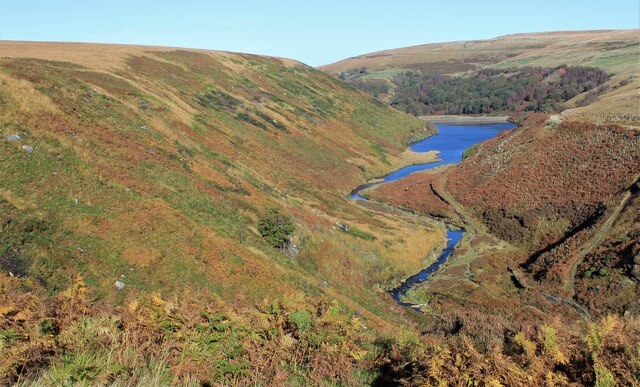
Naze Wood is a picturesque woodland located in the county of Yorkshire, England. Situated near the village of Naze, the wood covers an area of approximately 200 acres and is known for its natural beauty and diverse ecosystem.
The wood is primarily composed of broadleaf trees, including oak, beech, and ash, which create a dense and vibrant canopy overhead. The forest floor is adorned with carpets of bluebells and wild garlic during the spring months, adding to the enchanting atmosphere of the wood.
Naze Wood is a haven for wildlife, providing a habitat for a variety of species. Birdwatchers can spot an array of birds, such as woodpeckers, nuthatches, and buzzards. Squirrels can be seen darting through the trees, while foxes and deer roam the woodlands, adding to the sense of tranquility.
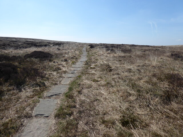
The wood is crisscrossed with a network of footpaths and trails, making it a popular destination for outdoor enthusiasts. Visitors can enjoy peaceful walks, taking in the sights and sounds of nature, or venture off the beaten path to explore the more secluded areas of the wood.
Naze Wood is managed by a local conservation organization, ensuring that the delicate balance of the ecosystem is maintained. The wood is open to the public year-round and offers a peaceful retreat for those seeking solace in nature. Whether it is for a leisurely stroll, birdwatching, or simply to immerse oneself in the beauty of the natural surroundings, Naze Wood is a must-visit destination in Yorkshire.
If you have any feedback on the listing, please let us know in the comments section below.
Naze Wood Images
Images are sourced within 2km of 53.587693/-1.9229651 or Grid Reference SE0510. Thanks to Geograph Open Source API. All images are credited.


Naze Wood is located at Grid Ref: SE0510 (Lat: 53.587693, Lng: -1.9229651)
Division: West Riding
Unitary Authority: Kirklees
Police Authority: West Yorkshire
What 3 Words
///claw.incurring.spoken. Near Marsden, West Yorkshire
Nearby Locations
Related Wikis
Wessenden Valley
The Wessenden Valley is a moorland valley in the Dark Peak, immediately south of Marsden in West Yorkshire, England. The name Wessenden derives from Old...
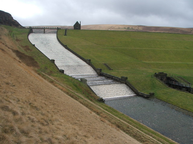
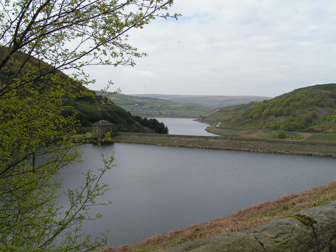
Butterley Reservoir, West Yorkshire
Butterley Reservoir is a reservoir located near Marsden, West Yorkshire, near the Peak District National Park boundary. It was completed in 1906. The reservoir...
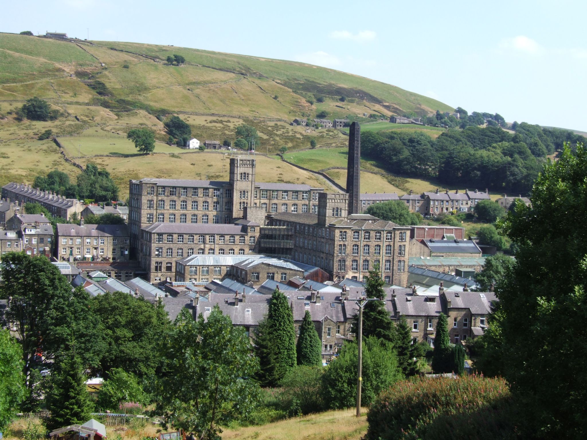
Bank Bottom Mill
Bank Bottom Mill, later known as Marsden Mill, was from 1824 an important centre for the production of woollen cloth in Marsden, West Yorkshire, England...
Marsden, West Yorkshire
Marsden is a large village in the Colne Valley, in the metropolitan borough of Kirklees, West Yorkshire, England. It is in the South Pennines close to...

Marsden railway station
Marsden railway station serves the village of Marsden near Huddersfield in West Yorkshire, England. The station is on the Huddersfield Line, operated by...

Standedge Tunnels
The Standedge Tunnels () are four parallel tunnels through the Pennine hills at the Standedge crossing between Marsden in Kirklees, West Yorkshire and...

Marsden Moor Estate
The Marsden Moor Estate is a large expanse of moorland in the South Pennines, between the conurbations of West Yorkshire and Greater Manchester in the...

Standedge
Standedge () is a moorland escarpment in the Pennine Hills of northern England between Marsden, West Yorkshire and Diggle, Greater Manchester. Standedge...
Related Videos

Waterfall Dreams
biblequote #hiking #hikeuk #hike #walkinguk #walkuk #walk #walking #backpacking #christian #outdoors #outdoor #wanderlust ...

Marsden Moor & Pule Hill- Yorkshire Walks 😊
In this video, we take you to Marsden Moor and take on the Pule Hill circular walk! Marsden Moor is just half an hour from ...
Hiking in Pule Hill #hiking #uktravel #mountains
Walk from Standedge Tunnel & Butterley Reservoir @https://www.tiktok.com/@gordonland?_t=8YlPGWmYarm&_r=1.

Standedge, Marsden Moor.
biblequote #hiking #hikeuk #hike #walkinguk #walkuk #walk #walking #backpacking #christian #outdoors #outdoor #wanderlust ...
Nearby Amenities
Located within 500m of 53.587693,-1.9229651Have you been to Naze Wood?
Leave your review of Naze Wood below (or comments, questions and feedback).