Ash Bed
Wood, Forest in Gloucestershire Cotswold
England
Ash Bed
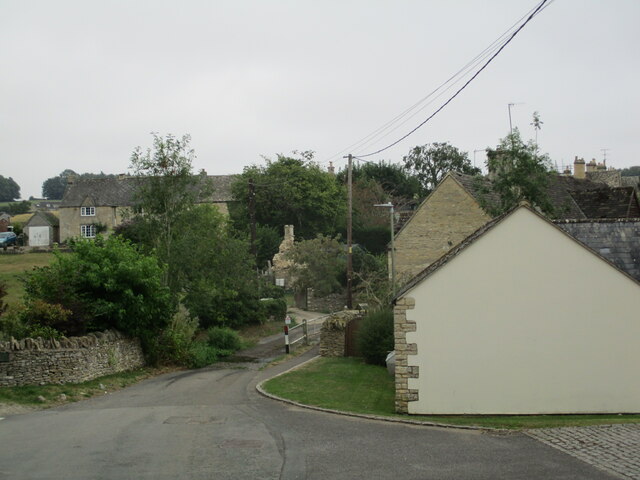
Ash Bed is a small village located in the county of Gloucestershire, England. Situated within the expansive Forest of Dean, Ash Bed is surrounded by lush woodlands and natural beauty. The village itself is relatively small, with a population of around 500 residents.
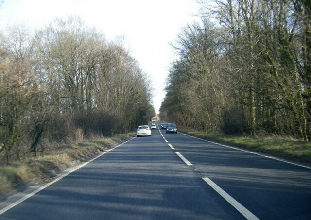
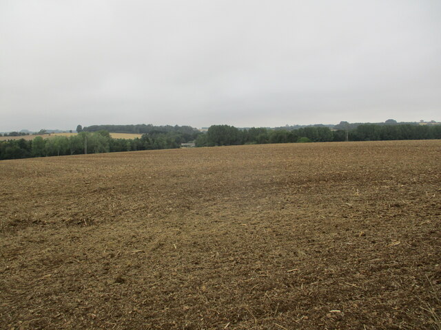
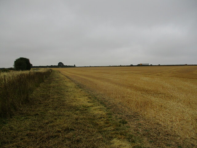
The name Ash Bed is derived from the presence of ash trees that dominate the local landscape. These trees provide a picturesque backdrop to the village, especially during the autumn months when their leaves turn vibrant shades of orange and gold.
The village is known for its tranquility and close-knit community. Residents enjoy a peaceful lifestyle, away from the hustle and bustle of larger towns and cities. The village has a strong sense of community spirit, with regular events and gatherings organized by local residents.
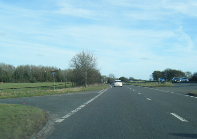
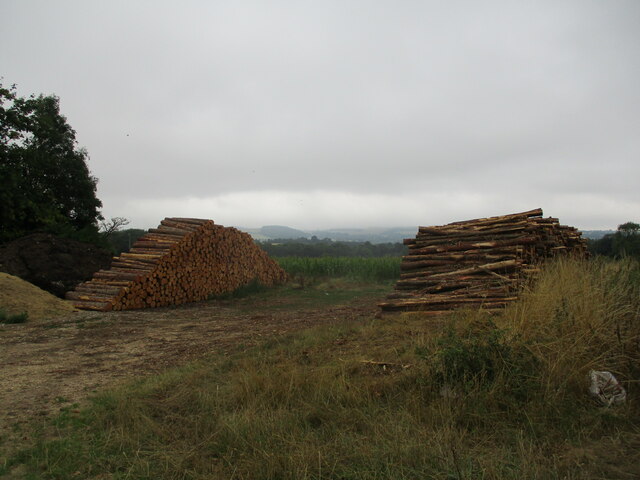
Nature lovers are drawn to Ash Bed due to its proximity to the Forest of Dean. This ancient forest covers over 42 square miles and is a haven for wildlife and outdoor enthusiasts. Visitors can explore the numerous walking and cycling trails that wind through the forest, offering breathtaking views and opportunities for wildlife spotting.
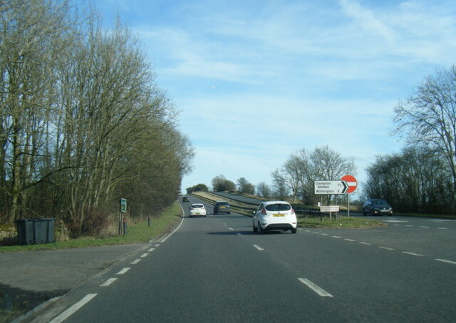
Despite its rural setting, Ash Bed benefits from good transport links. The nearby town of Cinderford provides essential amenities such as shops, schools, and healthcare facilities. The village is also well-connected to other parts of Gloucestershire via a network of roads and public transport options.
Overall, Ash Bed offers a charming and idyllic setting for those seeking a peaceful retreat amidst beautiful woodlands and a close-knit community.
If you have any feedback on the listing, please let us know in the comments section below.
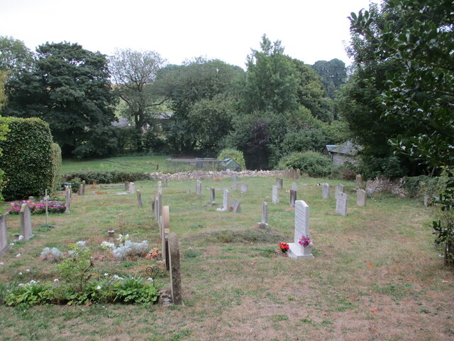
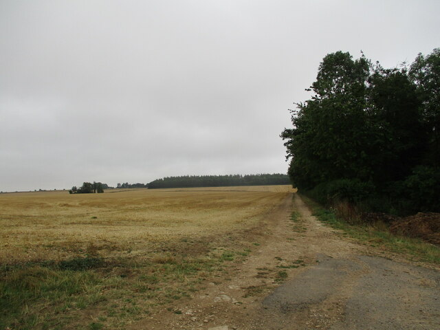
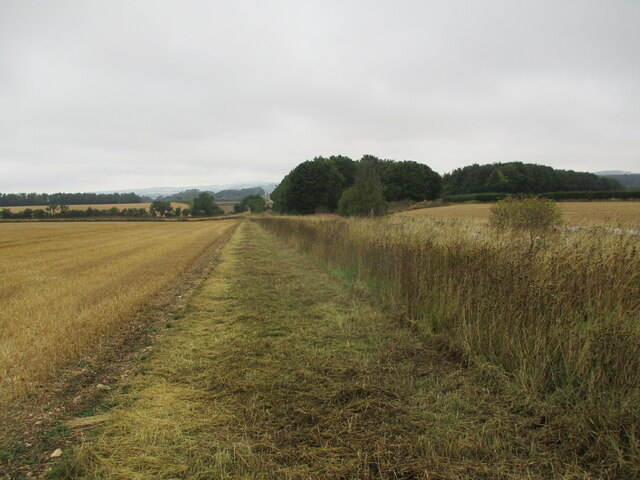
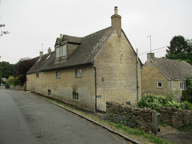
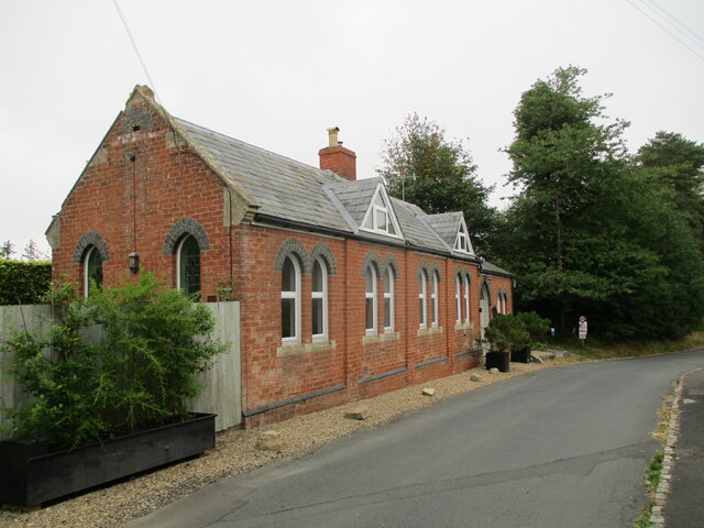
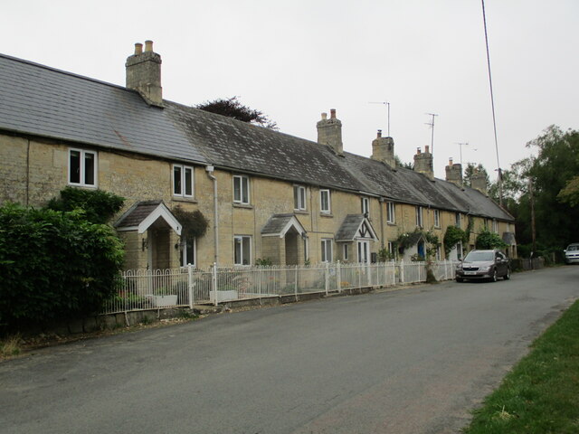
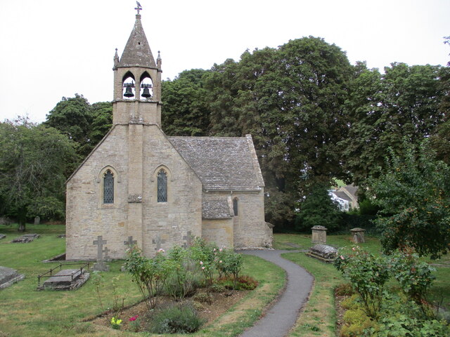
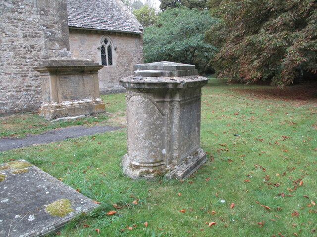
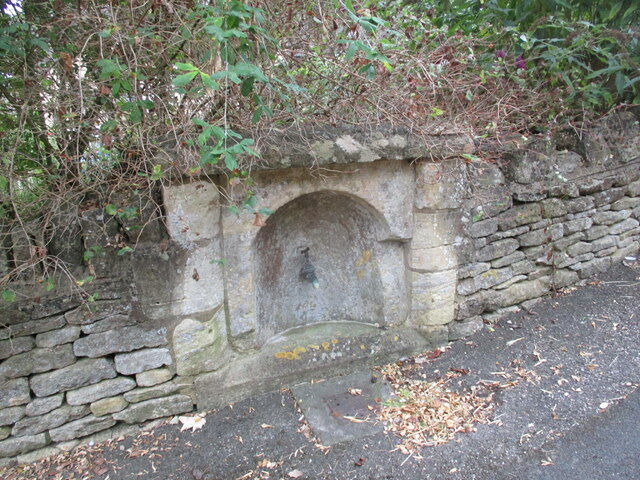
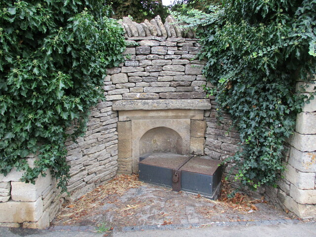
Ash Bed Images
Images are sourced within 2km of 51.850532/-1.9331712 or Grid Reference SP0416. Thanks to Geograph Open Source API. All images are credited.
Ash Bed is located at Grid Ref: SP0416 (Lat: 51.850532, Lng: -1.9331712)
Administrative County: Gloucestershire
District: Cotswold
Police Authority: Gloucestershire
What 3 Words
///motoring.clotting.surging. Near Westfield, Gloucestershire
Nearby Locations
Related Wikis

Withington railway station (Gloucestershire)
Withington railway station was on the Midland and South Western Junction Railway serving the village of Withington in Gloucestershire. The station opened...

Church of St Oswald, Shipton Oliffe
The Anglican Church of St Oswald at Shipton Oliffe in Shipton in the Cotswold District of Gloucestershire, England was built in the 12th century. It is...
Shipton, Gloucestershire
The twin villages of Shipton Oliffe and Shipton Solars are situated just 7 miles (11 km) from Cheltenham. The River Coln, just a small stream at this point...

Compton Abdale
Compton Abdale is a small village in Gloucestershire, England on the Roman "White Way" which ran North from Cirencester ("Corinium.") The village lies...

Church of St Michael, Withington
The Anglican Church of St Michael at Withington in the Cotswold District of Gloucestershire, England was built in the 12th century. It is a grade I listed...

Withington, Gloucestershire
Withington is a Cotswold village and civil parish in Gloucestershire, England, about 7 miles (11 km) southeast of Cheltenham and 8 miles (13 km) north...

St Mary's Church, Shipton Solars
St Mary's Church is a redundant Anglican church in the village of Shipton Sollars, Gloucestershire, England under the care of The Churches Conservation...

Chedworth Nature Reserve
Chedworth Nature Reserve (grid reference SP048143) is a 6-hectare (15-acre) nature reserve in Gloucestershire. The site is listed in the 'Cotswold District...
Related Videos

Early Morning Walk During Heavy Rainfall in the Village of Compton Abdale
So, today we are out and about walking in the Cotswold village and parish of Compton Abdale which is located in Gloucestershire ...

A Relaxing Morning Walk in the Cotswold Village of Withington
So, today we are out and about walking in the Cotswold village and parish of Withington which is located in the county of ...
Walking English villages. Withington Mill Inn public house Cotswolds England. Withington Cotswolds
Walking English villages. Withington Mill Inn public house. Cotswolds England. The location of the very popular Mill Inn Public ...

Gone Walkabout - Walk 1,000 Miles - Day Eight - 945 Miles To Go - Tim and Joe Find A Treehouse
Eigth day of the Walk 1000 Miles 2021 Challenge. Today's walk is from Withington through Withington Woods. We walk a big loop ...
Have you been to Ash Bed?
Leave your review of Ash Bed below (or comments, questions and feedback).