Abbots Wood

Wood, Forest in Gloucestershire Tewkesbury

England

Abbots Wood

A developing Cotswold valley Part of the water catchment area of the River Windrush, though the Windrush itself flows beyond the far hill.
A developing Cotswold valley Credit: Bill Boaden

Abbots Wood is a picturesque forest located in Gloucestershire, England. Covering an area of approximately 100 acres, it is known for its diverse range of flora and fauna, making it a popular destination for nature enthusiasts and hikers alike.

The woodland is predominantly composed of native broadleaf trees such as oak, beech, and birch, which create a dense canopy, providing shade and shelter for the various wildlife that call Abbots Wood home. The forest floor is adorned with a vibrant carpet of bluebells during springtime, creating a breathtaking sight.

Numerous well-marked trails wind through the woodland, offering visitors the opportunity to explore its beauty at their own pace. These paths cater to different levels of difficulty, making it accessible for families and individuals of all ages and fitness levels. Along the way, visitors may come across ancient ruins and historical landmarks, providing a glimpse into the area's rich heritage.

Wildlife enthusiasts will be delighted to spot an array of animals and birds within Abbots Wood. From elusive deer to playful squirrels, the forest is teeming with life. Birdwatchers can observe a variety of species, including woodpeckers, owls, and warblers, making it a haven for avian enthusiasts.

Abbots Wood offers an escape from the hustle and bustle of everyday life, providing a tranquil and serene environment for visitors to reconnect with nature. With its stunning scenery, abundant wildlife, and rich history, it is no wonder that Abbots Wood is a cherished natural gem in Gloucestershire.

If you have any feedback on the listing, please let us know in the comments section below.
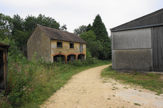
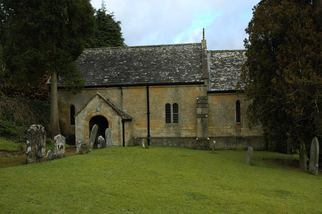
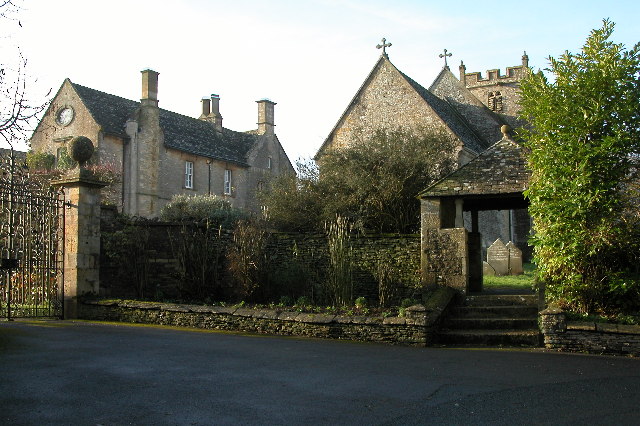
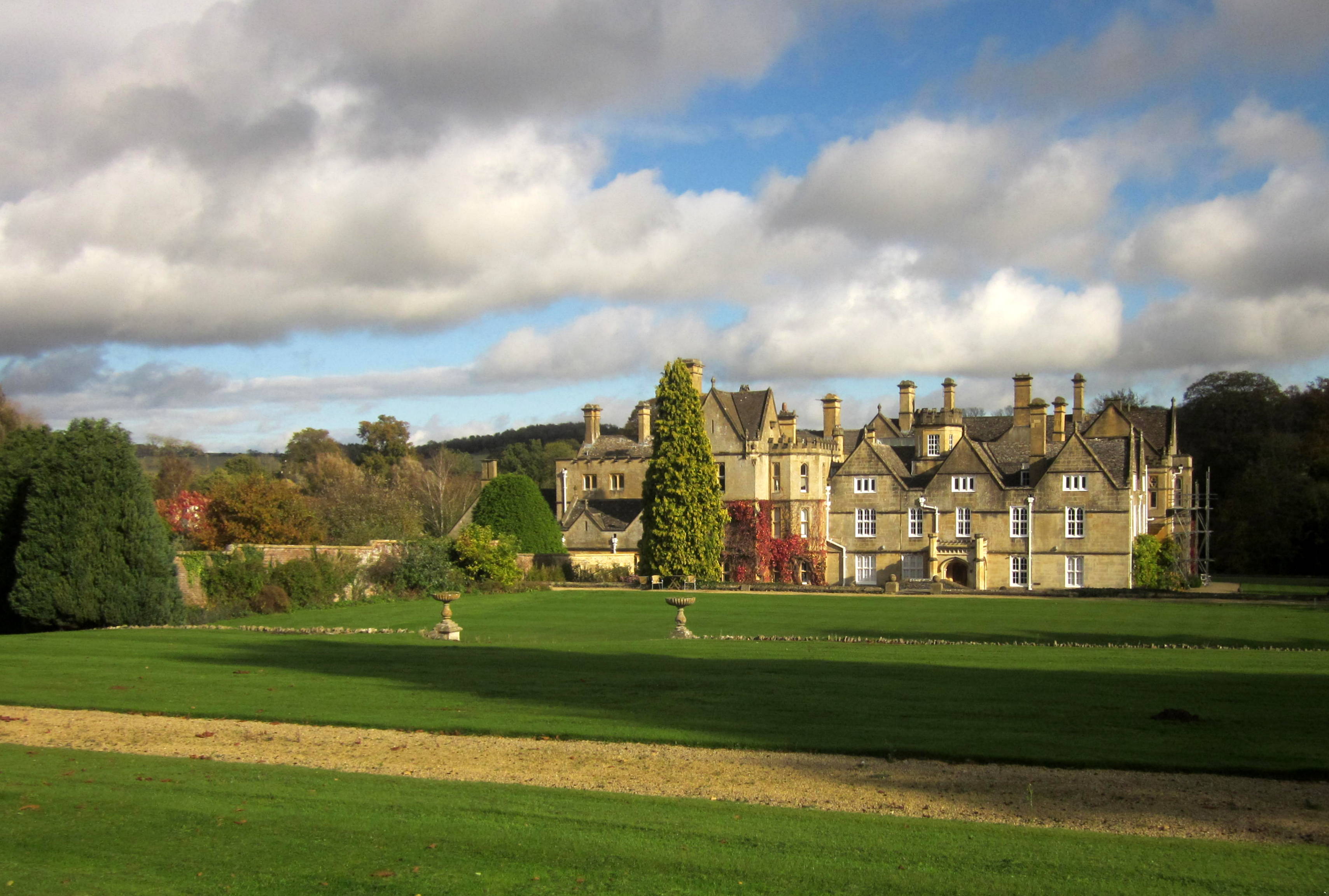
Abbots Wood Images

Images are sourced within 2km of 51.913495/-1.9330927 or Grid Reference SP0423. Thanks to Geograph Open Source API. All images are credited.

A developing Cotswold valley Part of the water catchment area of the River Windrush, though the Windrush itself flows beyond the far hill.
A developing Cotswold valley
Part of the water catchment area of the River Windrush, though the Windrush itself flows beyond the far hill.
The Windrush Way near Hawling Very pleasant walking, though most of the views are to the east.
The Windrush Way near Hawling
Very pleasant walking, though most of the views are to the east.
Harvested fields near Roel Hill A harvester and a tractor are still at work, both sending up clouds of dust.
Harvested fields near Roel Hill
A harvester and a tractor are still at work, both sending up clouds of dust.
The Windrush Way by a harvested field Looking in the direction of Hawling.
The Windrush Way by a harvested field
Looking in the direction of Hawling.
Poppies by a cabbage field The crop is certainly some member of the brassica family, but there are lots of invaders in the field and I wonder if the crop will be harvested.
Poppies by a cabbage field
The crop is certainly some member of the brassica family, but there are lots of invaders in the field and I wonder if the crop will be harvested.
Harvested field by Roel Gate Looking uphill from the crossroads.
Harvested field by Roel Gate
Looking uphill from the crossroads.
The Windrush Way heading towards Winchcombe It uses a farm track to begin quite a long descent to Winchcombe.
The Windrush Way heading towards Winchcombe
It uses a farm track to begin quite a long descent to Winchcombe.
Former quarry above Charlton Abbots Now buried in woodland and undergrowth.
Former quarry above Charlton Abbots
Now buried in woodland and undergrowth.
Field below Bespidge Wood The Cotswold hillside slopes down towards the Isbourne valley.
Field below Bespidge Wood
The Cotswold hillside slopes down towards the Isbourne valley.
Track to Spoonley farm The Windrush Way uses this track on its way down the Cotswold escarpment to Winchcombe. Spoonley farm is now more a nice residence than a farm. the driveway looks a bit manicured.
Track to Spoonley farm
The Windrush Way uses this track on its way down the Cotswold escarpment to Winchcombe. Spoonley farm is now more a nice residence than a farm. the driveway looks a bit manicured.
Spoonley Farm House It appears to be in the process of having a front yard built, and much of the material is waiting here.
Spoonley Farm House
It appears to be in the process of having a front yard built, and much of the material is waiting here.
Meeting of tracks below Spoonley Farm Originally just providing field access.
Meeting of tracks below Spoonley Farm
Originally just providing field access.
Farm track on Cole's Hill The Windrush Way uses this track. The valley of the River Isbourne is opening up ahead.
Farm track on Cole's Hill
The Windrush Way uses this track. The valley of the River Isbourne is opening up ahead.
Waterhatch A collection of farm buildings which don't appear to be greatly used.
Waterhatch
A collection of farm buildings which don't appear to be greatly used.
Windrush Way Windrush Way heading away from Hawling towards Roel Gate
Windrush Way
Windrush Way heading away from Hawling towards Roel Gate
Windrush Way Windrush Way heading to Roel Gate
Windrush Way
Windrush Way heading to Roel Gate
Windrush Way By Roel Gate the Windrush Way heading to Spoonley Farm House
Windrush Way
By Roel Gate the Windrush Way heading to Spoonley Farm House
Windrush Way Windrush Way heading to Spoonley Farm House
Windrush Way
Windrush Way heading to Spoonley Farm House
Show me another place!

Abbots Wood is located at Grid Ref: SP0423 (Lat: 51.913495, Lng: -1.9330927)

Administrative County: Gloucestershire

District: Tewkesbury

Police Authority: Gloucestershire

What 3 Words

///losing.noble.juror. Near Winchcombe, Gloucestershire

Related Wikis

Charlton Abbots

Charlton Abbots is a village and former civil parish 12 miles (19 km) east of Gloucester, now in the parish of Sudeley, in the Tewkesbury district, in...

Spoonley Wood Roman Villa

Spoonley Wood Roman Villa is an ancient Roman villa located 2 km south-east of Sudeley Castle near the town of Winchcombe, in Gloucestershire, England...

Hawling Manor, Gloucestershire

Hawling Manor in Hawling, Gloucestershire is a Grade II listed building. == History == Information from Country Life states that the manor "was held in...

Brockhampton, Gloucestershire

Brockhampton is a small village east of Cheltenham in Gloucestershire, England. It forms part of the parish of Sevenhampton.In the 2001 census the parish...

Church of St Andrew, Sevenhampton

The Anglican Church of St Andrew at Sevenhampton in the Cotswold District of Gloucestershire, England was built in the 12th century. It is a grade I listed...

Sevenhampton, Gloucestershire

Sevenhampton is a village and civil parish in Cotswold District, Gloucestershire. The parish is located in the Cotswolds in an area designated as an Area...

Hawling

Hawling is a small village and civil parish in the Cotswolds of England, close to Bourton-on-the-Water and Guiting Power. The Church, the Elizabethan manor...

Belas Knap

Belas Knap is a neolithic, chambered long barrow situated on Cleeve Hill, near Cheltenham and Winchcombe, in Gloucestershire, England.It is a type of monument...

Nearby Amenities

Located within 500m of 51.913495,-1.9330927
The data included in this document is from www.openstreetmap.org. The data is made available under ODbL.

Have you been to Abbots Wood?

Leave your review of Abbots Wood below (or comments, questions and feedback).