Highlee Wood
Wood, Forest in Yorkshire
England
Highlee Wood

Highlee Wood is a picturesque woodland located in the county of Yorkshire, England. Situated within the Yorkshire Dales National Park, it covers an area of approximately 100 hectares and is known for its diverse range of flora and fauna.
The wood is primarily composed of native broadleaf trees such as oak, ash, and beech, which provide a dense canopy that creates a cool and serene atmosphere. These trees, along with the understory of shrubs and wildflowers, support a rich ecosystem that is home to a variety of wildlife.
Visitors to Highlee Wood can enjoy numerous walking trails that meander through the forest, offering opportunities to explore and appreciate its natural beauty. As they wander along the well-maintained paths, visitors may come across charming streams, small ponds, and open glades, adding to the enchanting ambiance of the wood.
The woodland is particularly renowned for its bird population, with species such as the great spotted woodpecker, tawny owl, and nuthatch commonly spotted among the trees. Additionally, it provides a habitat for mammals such as badgers, foxes, and deer, adding to the diversity of wildlife that can be observed.
Highlee Wood is a popular destination for nature enthusiasts, hikers, and photographers seeking a tranquil and scenic escape. Its location within the Yorkshire Dales National Park ensures that it remains protected, preserving its natural beauty for generations to come.
If you have any feedback on the listing, please let us know in the comments section below.
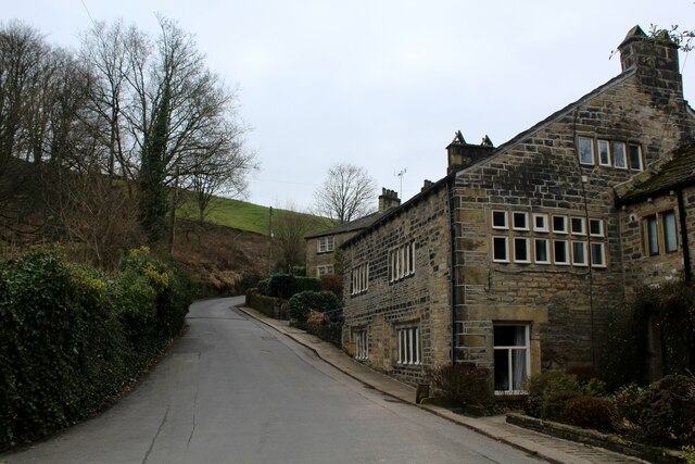
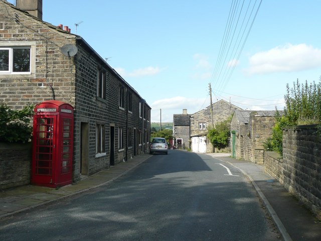
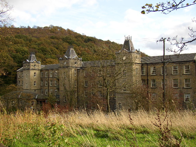
Highlee Wood Images
Images are sourced within 2km of 53.683853/-1.9302849 or Grid Reference SE0420. Thanks to Geograph Open Source API. All images are credited.


Highlee Wood is located at Grid Ref: SE0420 (Lat: 53.683853, Lng: -1.9302849)
Division: West Riding
Unitary Authority: Calderdale
Police Authority: West Yorkshire
What 3 Words
///ended.unleashed.craziest. Near Barkisland, West Yorkshire
Nearby Locations
Related Wikis
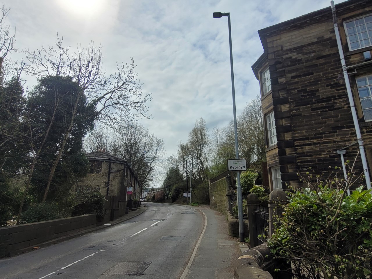
Kebroyd
Kebroyd is a small hamlet in the civil parish of Ripponden, in the Calderdale district, in West Yorkshire, England, within the valley of the River Ryburn...
Soyland
Soyland is a village in the civil parish of Ripponden, in Calderdale, West Yorkshire, England. It is just north of Ripponden off the A58 road and is 5...
Barkisland
Barkisland () is a village in Calderdale, West Yorkshire, England. Historically part of the West Riding of Yorkshire, it is 1 mile (1.6 km) east of Ripponden...
Triangle, West Yorkshire
Triangle is a village in the Calderdale borough of West Yorkshire, England. It is located in the valley of the River Ryburn, on the A58 road over the South...
Nearby Amenities
Located within 500m of 53.683853,-1.9302849Have you been to Highlee Wood?
Leave your review of Highlee Wood below (or comments, questions and feedback).