Poole Wood

Wood, Forest in Warwickshire Stratford-on-Avon

England

Poole Wood

Arable land near Abbots Morton View across arable land to the east of Abbots Morton.
Arable land near Abbots Morton Credit: Philip Halling

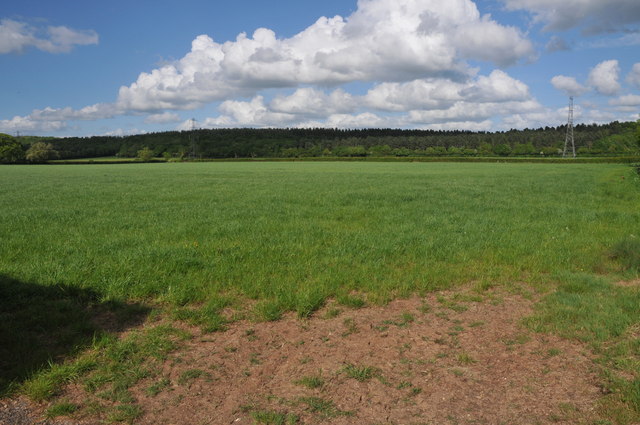
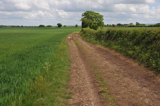
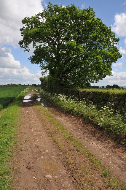
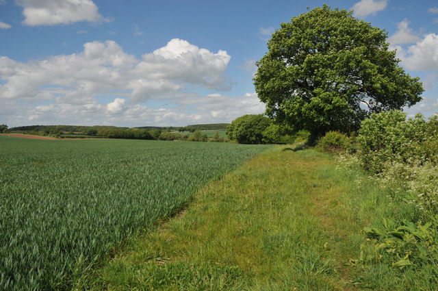
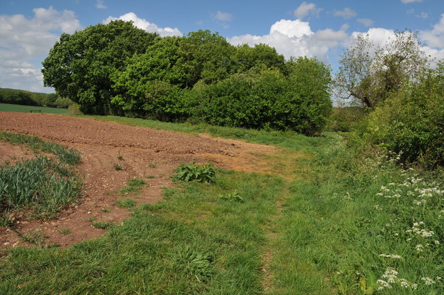
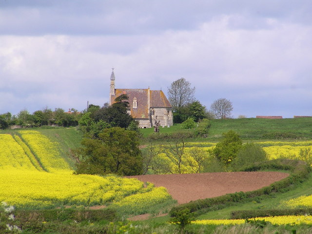
Poole Wood is a captivating woodland located in Warwickshire, England. Nestled in the heart of the county, this ancient forest spans approximately 120 acres and is renowned for its natural beauty and diverse ecosystem.

The woodland boasts a rich history, dating back centuries. It is believed that Poole Wood has been in existence since at least the 13th century, making it one of the oldest woodlands in the region. Over the years, it has served multiple purposes, from a hunting ground for local nobility to a source of timber for the surrounding communities.

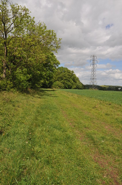
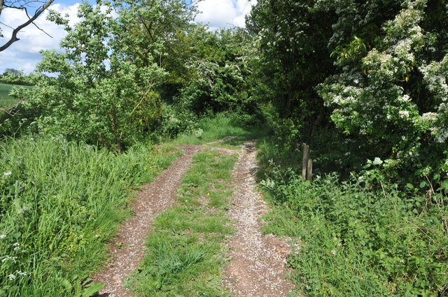
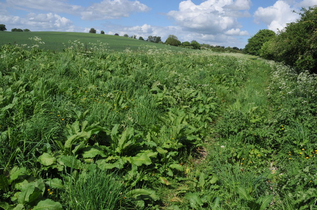
One of the most striking features of Poole Wood is its vast array of tree species. The forest is predominantly composed of native deciduous trees, including oak, beech, ash, and birch. These majestic trees create a dense canopy, providing shelter for a wide range of flora and fauna.

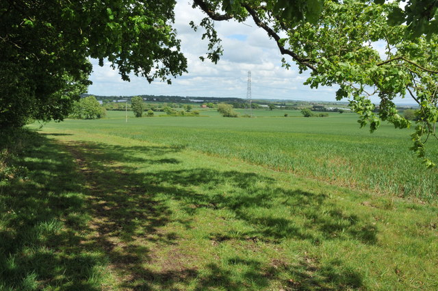
The woodland is home to an abundance of wildlife. Visitors can expect to spot various bird species, such as woodpeckers, owls, and thrushes, as well as small mammals like foxes, squirrels, and badgers. With its tranquil atmosphere and secluded pathways, Poole Wood offers a haven for nature enthusiasts and birdwatchers alike.

For those seeking a peaceful retreat or a place for outdoor activities, Poole Wood provides ample opportunities. The well-maintained trails crisscrossing through the forest are perfect for leisurely walks, jogging, or cycling. Moreover, the forest is equipped with picnic areas and benches, allowing visitors to relax, unwind, and soak in the serene surroundings.

Poole Wood truly encapsulates the natural beauty of Warwickshire, offering a tranquil and enchanting escape for all who venture within its leafy realm.

If you have any feedback on the listing, please let us know in the comments section below.
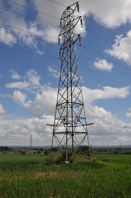
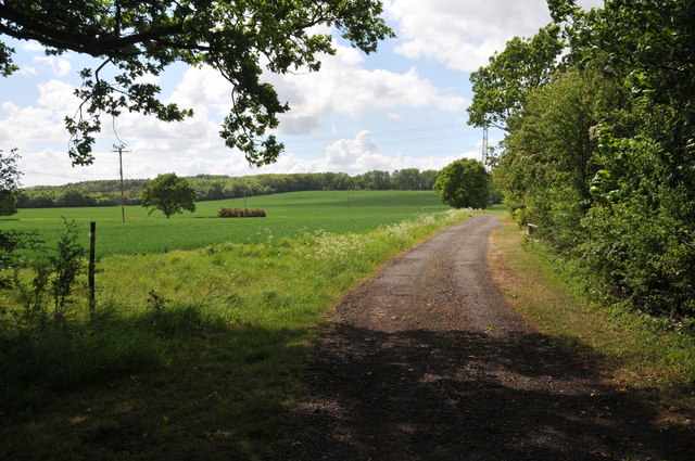
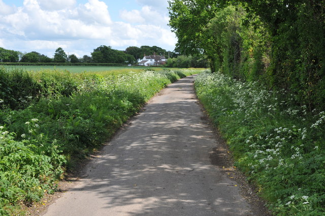
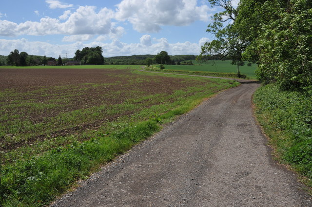
Poole Wood Images

Images are sourced within 2km of 52.187728/-1.9353749 or Grid Reference SP0454. Thanks to Geograph Open Source API. All images are credited.

Arable land near Abbots Morton View across arable land to the east of Abbots Morton.
Arable land near Abbots Morton
View across arable land to the east of Abbots Morton.
Arable land at Cock Bevington Arable land viewed from beside a disused mine at Cock Bevington.
Arable land at Cock Bevington
Arable land viewed from beside a disused mine at Cock Bevington.
On the border This bridleway follows the hedgerow which marks the county boundary between Worcestershire and Warwickshire.
On the border
This bridleway follows the hedgerow which marks the county boundary between Worcestershire and Warwickshire.
Arable land at Bevington Waste Arable land viewed from a bridleway at Bevington Waste.
Arable land at Bevington Waste
Arable land viewed from a bridleway at Bevington Waste.
Pylons at Bevington Waste Pylons carry power cables across farmland at Bevington Waste.
Pylons at Bevington Waste
Pylons carry power cables across farmland at Bevington Waste.
Pylons in arable land, Bevington Waste Pylons carry power cables through this large arable field at Bevington Waste.
Pylons in arable land, Bevington Waste
Pylons carry power cables through this large arable field at Bevington Waste.
Track at Cock Bevington Track at Cock Bevington giving access to an electricity substation.
Track at Cock Bevington
Track at Cock Bevington giving access to an electricity substation.
Road at Cock Bevington No through road at Cock Bevington.
Road at Cock Bevington
No through road at Cock Bevington.
Road to Rose Cottage Road to Rose Cottage and Whitfield Barn at Cock Bevington.
Road to Rose Cottage
Road to Rose Cottage and Whitfield Barn at Cock Bevington.
Track to Cock Bevington Track and bridleway across arable land to Cock Bevington.
Track to Cock Bevington
Track and bridleway across arable land to Cock Bevington.
Track to Cock Bevington Track and bridleway to Cock Bevington.
Track to Cock Bevington
Track and bridleway to Cock Bevington.
Footpath to Wood Bevington The footpath from Cock Bevington to Wood Bevington follows the hedgerow.
Footpath to Wood Bevington
The footpath from Cock Bevington to Wood Bevington follows the hedgerow.
Site of a disused pit This clump of trees beside a footpath from Cock Bevington to Wood Bevington grow on the site of a disused pit.
Site of a disused pit
This clump of trees beside a footpath from Cock Bevington to Wood Bevington grow on the site of a disused pit.
Crossing Ban Brook This track between fields crosses a small bridge over Ban Brook, a tributary of the River Avon.
Crossing Ban Brook
This track between fields crosses a small bridge over Ban Brook, a tributary of the River Avon.
Footpath to Wood Bevington A footpath follows the hedgerow to the side of this cereal field en route to Wood Bevington.
Footpath to Wood Bevington
A footpath follows the hedgerow to the side of this cereal field en route to Wood Bevington.
Polytunnels at Wood Bevington Polytunnels in a field beside a road at Wood Bevington.
Polytunnels at Wood Bevington
Polytunnels in a field beside a road at Wood Bevington.
Strawberries in Polytunnels There is a considerable area of land at Wood Bevington dedicated to horticulture such as strawberries cultivated here in Polytunnels.
Strawberries in Polytunnels
There is a considerable area of land at Wood Bevington dedicated to horticulture such as strawberries cultivated here in Polytunnels.
Strawberry fields, Wood Bevington As well as growing strawberries in polytunnels they are also being grown out in the open here at Wood Bevington.
Strawberry fields, Wood Bevington
As well as growing strawberries in polytunnels they are also being grown out in the open here at Wood Bevington.
Show me another place!

Poole Wood is located at Grid Ref: SP0454 (Lat: 52.187728, Lng: -1.9353749)

Administrative County: Warwickshire

District: Stratford-on-Avon

Police Authority: Warwickshire

What 3 Words

///pesky.period.cans. Near Inkberrow, Worcestershire

Related Wikis

Weethley

Weethley is a village and former civil parish on the B4088 road, now in the parish of Arrow with Weethley, in the Stratford-on-Avon district, in the county...

Abbots Morton

Abbots Morton is a village and civil parish in the English county of Worcestershire. It consists of approximately 70 dwellings and 250 people. It retains...

Goom's Hill

Goom's Hill is a location near Abbots Morton in Worcestershire, England.

Arrow with Weethley

Arrow with Weethley is a civil parish in the Stratford-on-Avon district of Warwickshire, England. The parish lies midway between Redditch and Evesham....

Jerwood Foundation's sculpture collection

The Jerwood Foundation's sculpture collection was a collection of 20th- and 21st-century sculptures. They were displayed at Ragley Hall in Warwickshire...

Ragley Hall

Ragley Hall in the parish of Arrow in Warwickshire is a stately home, located south of Alcester and eight miles (13 km) west of Stratford-upon-Avon. It...

Cookhill Priory

Cookhill Priory was a Cistercian nunnery near Cookhill in Worcestershire, England. == History == The Priory is believed to be founded by Isabel de Mauduit...

Church Lench

Church Lench is a village and former civil parish, now in the parish of South Lenches, in the Wychavon district, in the county of Worcestershire, England...

Related Videos

Weethley Cookhill another walk this time by the church

Hi folks back to weethley for another nice walk.

Impressive AutoGyro landing #shorts #airshow #autogyro

Peter Davies of Gyro Air Displays in his Calidus AutoGyro (G-DISP) displaying at the Midlands Air Festival. Subscribe to my ...

Nearby Amenities

Located within 500m of 52.187728,-1.9353749
Post Box
Collection Times: Mo-Fr 16:00; Sa 09:45
Operator: Royal Mail
Post Box Type: lamp
Ref: WR7 68
Royal Cypher: EIIR
Royal Cypher Wikidata: Q33102113
Source: survey
Lat/Long: 52.1900591/-1.937164
Power: tower
Source: bing
Lat/Long: 52.1860878/-1.9390819
Power: tower
Source: bing
Lat/Long: 52.1891202/-1.9393362
Morton Spirt
Power: pole
Transformer: distribution
Voltage Primary: 11000
Lat/Long: 52.1900472/-1.9375795
Location Transition: yes
Power: pole
Lat/Long: 52.1899823/-1.9386135
Location Transition: yes
Power: pole
Lat/Long: 52.1899757/-1.9398996
Power: pole
Lat/Long: 52.1899765/-1.9412863
Power: pole
Lat/Long: 52.1839888/-1.9315942
Power: pole
Lat/Long: 52.1839004/-1.9328313
Power: pole
Lat/Long: 52.183812/-1.934043
Power: pole
Lat/Long: 52.1837273/-1.9352185
Power: pole
Lat/Long: 52.1836455/-1.9363537
Power: pole
Lat/Long: 52.183569/-1.9375017
The data included in this document is from www.openstreetmap.org. The data is made available under ODbL.

Have you been to Poole Wood?

Leave your review of Poole Wood below (or comments, questions and feedback).